The best MTB trails around Rimbach Bei Masmünster
4.4
(644)
4,555
riders
277
rides
Mountain biking around Rimbach Bei Masmünster features a landscape characterized by dense forests, mountain passes, and varied terrain within the southern Vosges. The region offers a mix of challenging climbs and technical descents, with elevations reaching over 1000 meters. Riders can expect to navigate through wooded singletrack and open sections with panoramic views.
Best mountain bike trails around Rimbach Bei Masmünster
- The most popular mountain bike trail is Roche Marchal (1022m) – Singletrack loop from Sewen, a 30.1 miles…
Last updated: October 8, 2026
4.0
(4)
19
riders
48.8km
04:13
1,170m
1,170m
Hard mountain bike ride. Very good fitness required. Suitable for all skill levels.
23
riders
29.8km
02:21
730m
730m
Moderate mountain bike ride. Good fitness required. Suitable for all skill levels.

4.3
(3)
14
riders
44.0km
04:31
1,260m
1,260m
Hard mountain bike ride. Very good fitness required. Advanced riding skills necessary. Some portions of the route may require you to push your bike.
5.0
(4)
17
riders
30.7km
03:11
1,060m
1,060m
Hard mountain bike ride. Very good fitness required. Advanced riding skills necessary.
3.0
(1)
8
riders
Moderate mountain bike ride. Good fitness required. Advanced riding skills necessary.
Get access to more routes and recommendations from other explorers.
Already have an account?
Our route recommendations are based on thousands of hikes, rides, and runs completed by other people on komoot.
Start today with a free account
Your next adventure awaits.
Popular around Rimbach Bei Masmünster

Thatches, lakes and forests – Tour des Ballons des Vosges
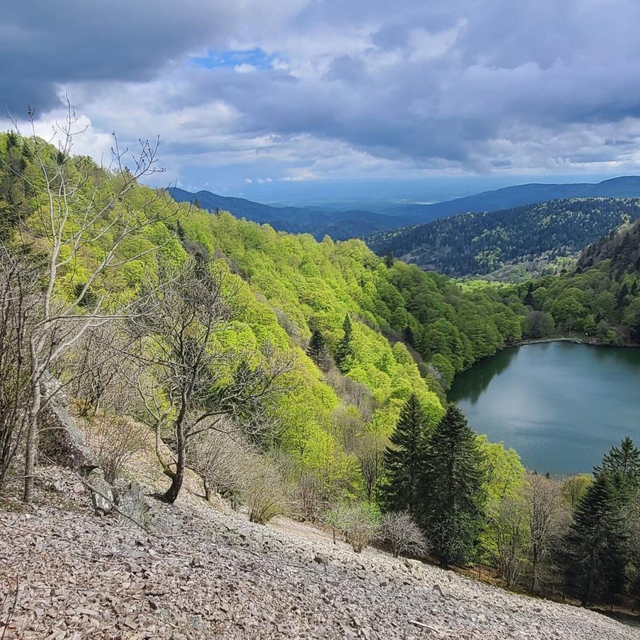
Hiking around Rimbach Bei Masmünster
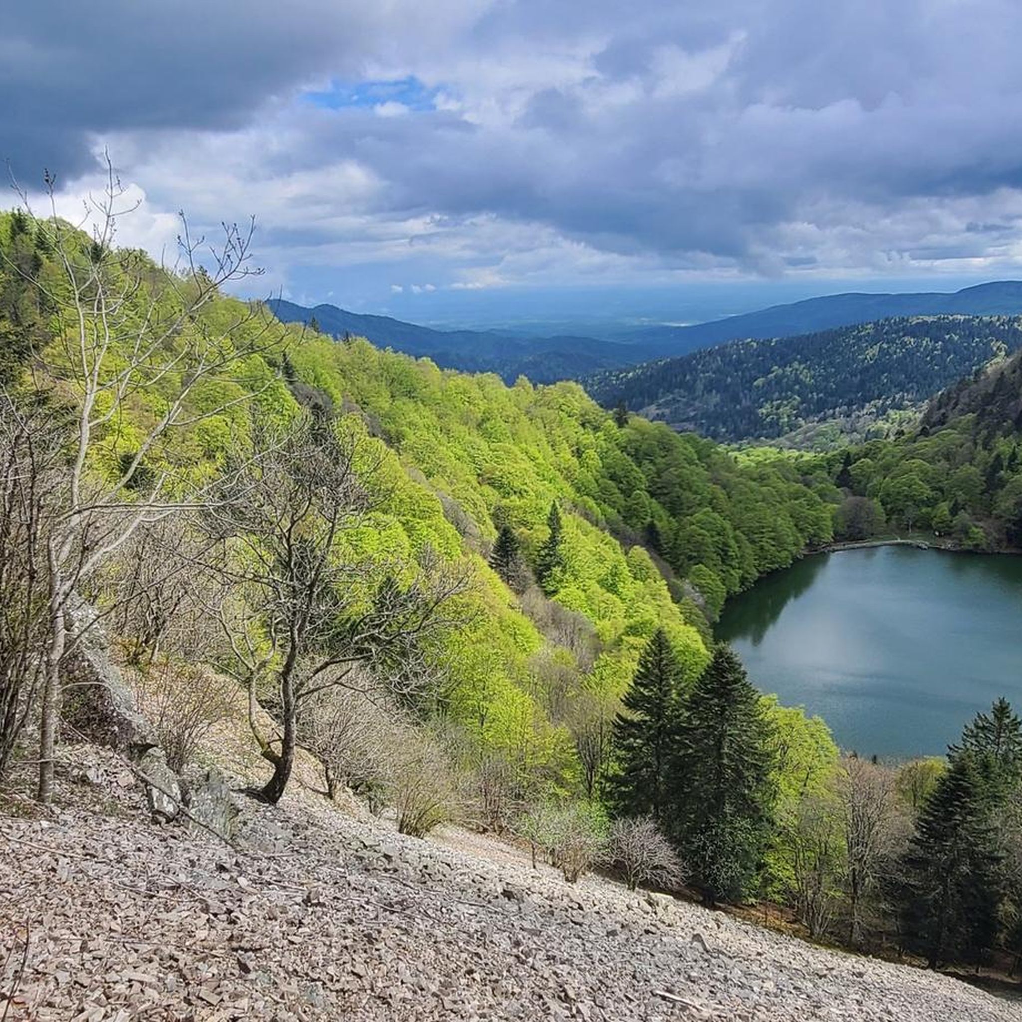
Road Cycling Routes around Rimbach Bei Masmünster
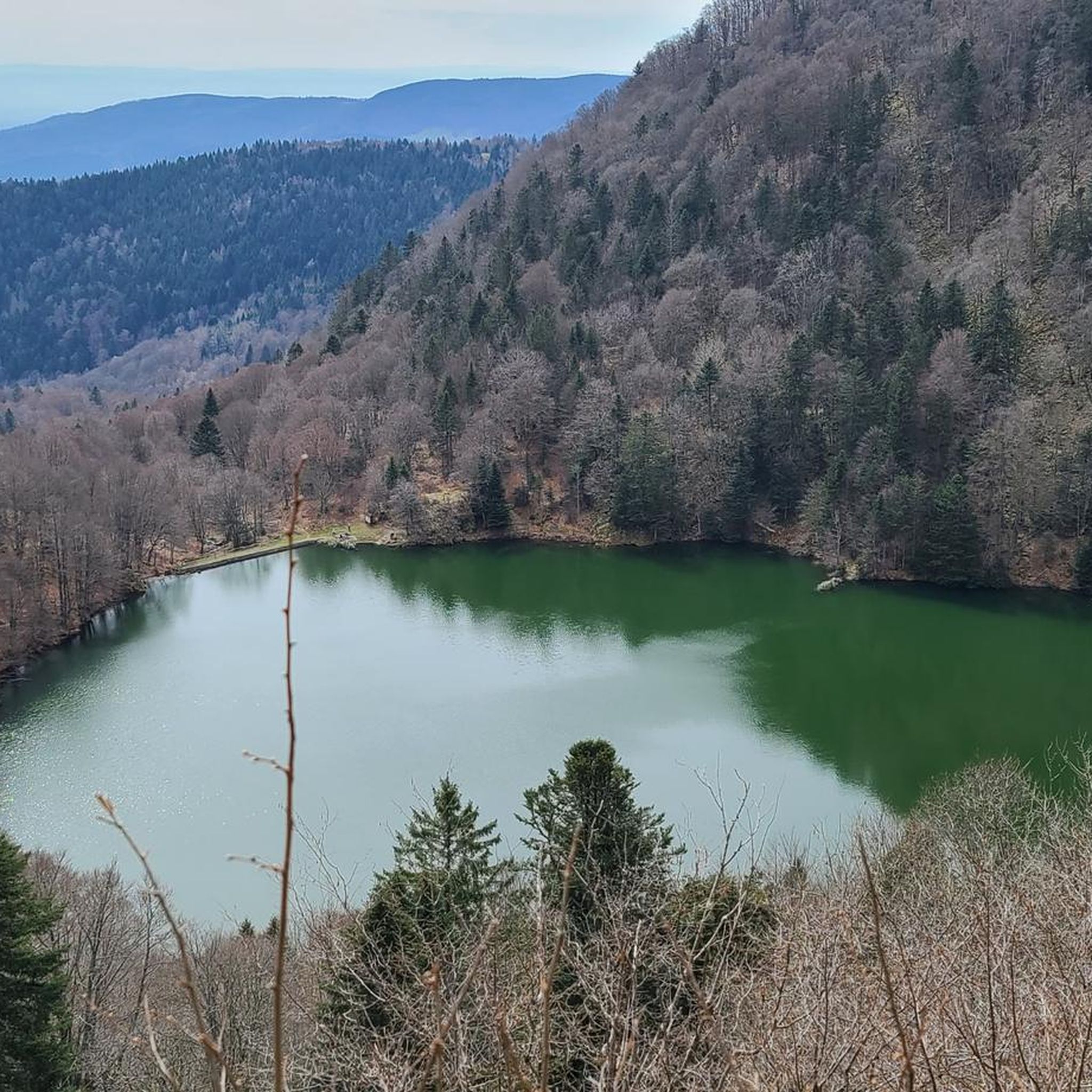
Cycling around Rimbach Bei Masmünster
Running Trails around Rimbach Bei Masmünster

Gravel biking around Rimbach Bei Masmünster

Mountain Hikes around Rimbach Bei Masmünster
Other adventures around Rimbach Bei Masmünster

Tips from the Community

Of the three sides of the Ballon d'Alsace, this is clearly the most difficult (the only one with gradients of 9-10%)... but it is certainly the most beautiful! The hairpin bends at the start of the climb before the Alfeld lake are sublime. The road then evolves along the mountainside, unfortunately no more hairpin bends, this section can seem long for some, the gradient remains between 8 and 9%. It decreases when you reach the Langenberg... you have done the difficult part, there are still 4 km to the top. After that, there is a mix of flat sections and climbs with a natural clearing 1 km from the top, from where you have a panoramic view of the valley.
6
0
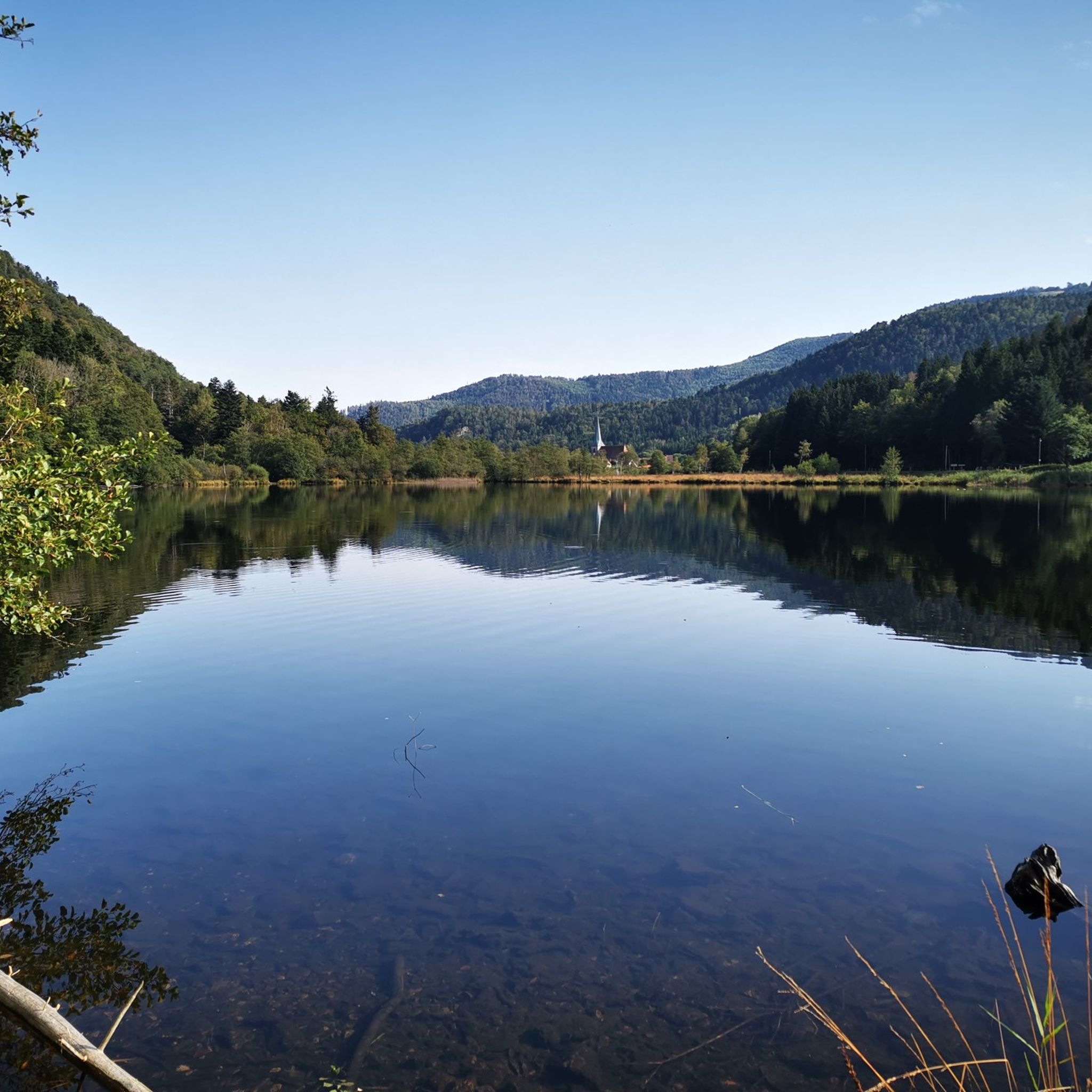
Een schilderachtig stuwmeer langs de beklimming van de Ballon d'Alsace, omringd door de beboste hellingen van de Vogezen. 🚴⛰️🌲
7
0
Dit monument herinnert aan de aanleg van het stuwmeer van Alfeld in 1888. Het markeert een belangrijk hoofdstuk in de waterbeheersing van de Dollervallei en vormt een opvallend historisch herkenningspunt langs de route.
6
0
A picturesque mountain lake at the foot of the Ballon d'Alsace, surrounded by forests and steep slopes. 🚴♂️🏞️⛰️
6
0
Een karakteristieke dorpskerk met opvallende torenspits en ommuurde begraafplaats, gelegen in het centrum van Sewen.
6
0
The Doller-fietspad (Voie Verte de la Vallée de la Doller) between Masevaux and Sewen largely follows a former railway line through the Doller valley in the southern Vosges. The route is approximately 10 to 12 km long, almost entirely car-free and asphalted. The gradient towards Sewen is very gradual, around 1%, making it a pleasant approach to the surroundings of the Ballon d'Alsace.
7
0

The Graber discovery trail starts from the center of Dolleren, which is lulled by the sound of the river that gave the village its name, the Doller. Before setting off, you can go to the town hall or the tourist office in Masevaux to pick up a booklet for children. Playful equipment can also be found along the route.
0
0
The Baerenkopf is a well-known summit in the Masevaux valley. Located on the wooded ridge around 1,000 meters that borders the Territoire de Belfort and Haut-Rhin, it nevertheless reveals a beautiful view of the valley, especially in the months when the vegetation is sparser. A refuge is located right next to it, in a slightly more open landscape.
1
0
Frequently Asked Questions
How many mountain bike trails are available around Rimbach Bei Masmünster?
There are over 260 mountain bike trails around Rimbach Bei Masmünster, offering a wide range of options for all skill levels. The komoot community has explored more than 3,600 of these routes.
What are the difficulty levels of mountain bike trails in Rimbach Bei Masmünster?
The trails around Rimbach Bei Masmünster cater to various skill levels. You'll find approximately 34 easy routes perfect for beginners, 113 moderate trails for intermediate riders, and 116 difficult routes for experienced mountain bikers seeking a challenge.
Are there easy mountain bike routes for beginners in Rimbach Bei Masmünster?
Yes, beginners can find around 34 easy mountain bike routes. These trails typically feature less challenging terrain and elevation, allowing new riders to enjoy the scenic landscape at a comfortable pace. While specific beginner routes are not highlighted in the data, look for trails marked as 'easy' on komoot.
What about more challenging mountain biking options for experienced riders?
Experienced riders will find plenty of challenging options, with approximately 116 difficult mountain bike routes available. These often include significant elevation gains and technical singletrack sections. For example, the Lochberg Inn – Beautiful path along the stream loop from Dolleren is a difficult 31.3 km route with over 1000 meters of elevation gain.
Are there any circular mountain bike routes in Rimbach Bei Masmünster?
Yes, many mountain bike routes in the region are designed as loops, allowing you to start and finish at the same point. Examples include the Lochberg Inn – Beautiful path along the stream loop from Dolleren and the Rimbach Pass (940 m) – Braco Line loop from Mollau.
What is the best time of year for mountain biking in Rimbach Bei Masmünster?
The best time for mountain biking in Rimbach Bei Masmünster is typically from late spring through early autumn (May to October). During these months, the weather is generally milder, and trails are less likely to be muddy or covered in snow, offering optimal riding conditions.
Can I go mountain biking in Rimbach Bei Masmünster during winter?
While some trails might be accessible, mountain biking in Rimbach Bei Masmünster during winter can be challenging due to snow, ice, and colder temperatures, especially at higher elevations. It's advisable to check local conditions and trail status before heading out, and be prepared for potentially slippery or impassable sections.
Are there any scenic viewpoints along the mountain bike trails?
Absolutely. The region is known for its panoramic views. Many routes offer vistas of the southern Vosges mountains and picturesque lakes. For instance, the Lac des Perches (Star Lake) – View of Lac des Perches loop from Sewen provides stunning views of Lac des Perches itself.
Are there places to explore or attractions near the mountain bike trails?
Yes, the area around Rimbach Bei Masmünster is rich in natural beauty and points of interest. You can find several mountain peaks like Ballon d'Alsace and Ballon de Servance, as well as beautiful lakes such as Lake Alfeld and Lac des Perches, which are often incorporated into or accessible from the trails.
Where can I find parking for mountain biking in Rimbach Bei Masmünster?
Parking is generally available in the villages and towns that serve as common starting points for trails, such as Sewen, Dolleren, and Mollau. Look for designated parking areas near trailheads or in village centers. It's always a good idea to check specific route descriptions on komoot for recommended parking spots.
What do other mountain bikers enjoy the most about mountain biking in Rimbach Bei Masmünster?
The area is highly rated by the komoot community, with an average score of 4.4 stars from over 400 reviews. Reviewers often praise the diverse terrain, from dense forests to challenging mountain passes, and the scenic lake views. The extensive network of routes also receives positive feedback for offering options for all skill levels.
Most popular routes around Rimbach Bei Masmünster
Most popular attractions around Rimbach Bei Masmünster

Get inspired with the komoot mobile app


Explore more
Browse the best MTB trails in other regions.
