The best running trails around Brenouille
4.2
(124)
4,187
runners
11
runs
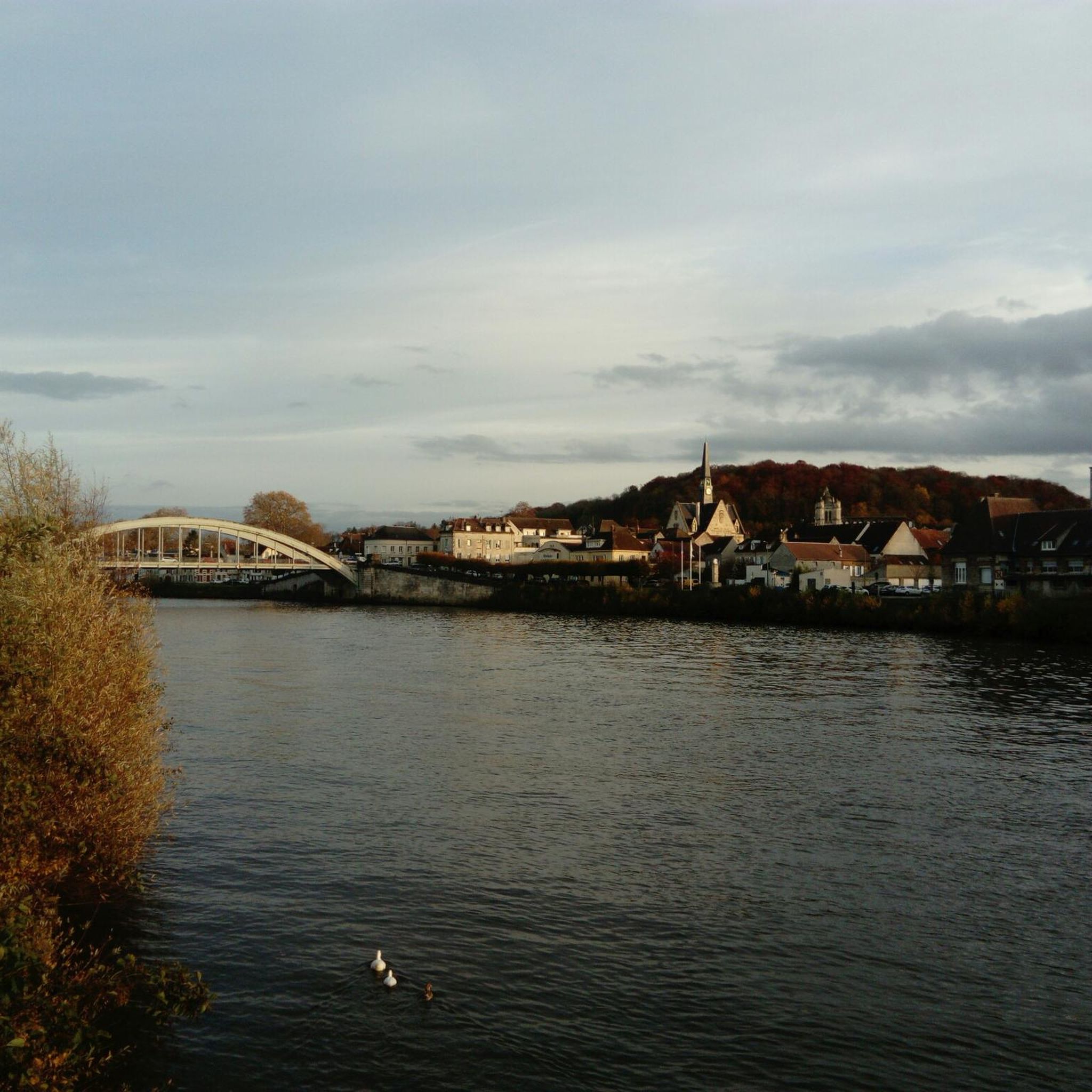
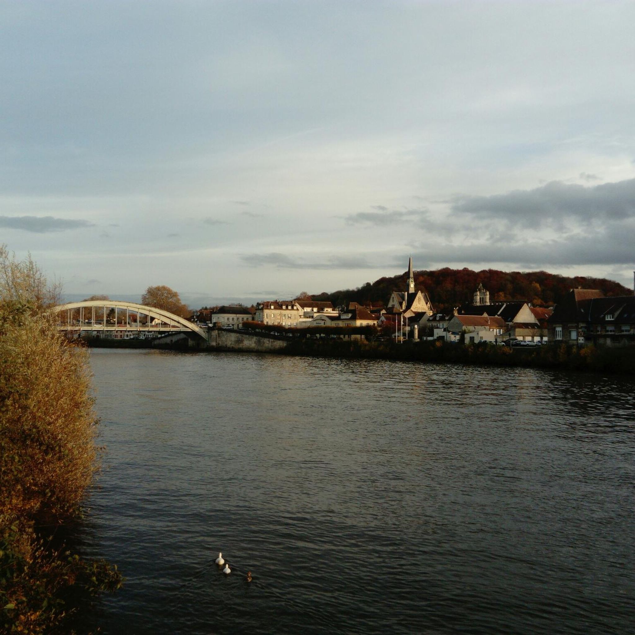
Jogging around Brenouille offers access to extensive natural landscapes, including notable forests and scenic viewpoints. The region is characterized by its proximity to the Forêt d'Halatte, which provides varied terrain with both paved forest roads and dirt trails. Mont Pagnotte, the highest point in Valois at 222 meters, offers ascents and descents within the forest. The nearby Oise River banks also provide a setting for running.
Best jogging routes around Brenouille
- The most popular jogging route is Étang de Verderonne…
Last updated: July 27, 2026
7
runners
13.0km
01:22
100m
100m
Moderate run. Good fitness required. Mostly paved surfaces. Suitable for all skill levels.
9
runners
5.92km
00:37
30m
30m
Moderate run. Good fitness required. Mostly paved surfaces. Suitable for all skill levels.

Sign up for free
7
runners
10.3km
01:12
40m
40m
Moderate run. Good fitness required. Mostly paved surfaces. Suitable for all skill levels.
8
runners
16.6km
01:45
30m
30m
Hard run. Very good fitness required. Mostly paved surfaces. Suitable for all skill levels.
4
runners
14.0km
01:29
30m
30m
Moderate run. Good fitness required. Mostly paved surfaces. Suitable for all skill levels.
Get access to more routes and recommendations from other explorers.
Sign up for free
Already have an account?
Our route recommendations are based on thousands of hikes, rides, and runs completed by other people on komoot.
Start today with a free account
Your next adventure awaits.
Login or Signup



Frequently Asked Questions
How many running routes are available around Brenouille?
There are over 420 running routes around Brenouille, offering a wide variety of options for all skill levels. The komoot community has explored these trails over 4000 times, highlighting the area's popularity for outdoor activities.
What types of terrain can I expect on jogging routes near Brenouille?
Jogging routes around Brenouille feature diverse terrain. You'll find a mix of paved forest roads and dirt trails, especially within the extensive Forêt d'Halatte. The region also includes river valleys, open fields, and agricultural plateaus, providing varied running experiences.
Are there any easy running routes suitable for beginners in Brenouille?
Yes, Brenouille offers several easy running routes perfect for beginners. There are 29 routes classified as easy, allowing for a gentle introduction to the area's beautiful landscapes. These routes typically have minimal elevation gain and well-maintained paths.
Are there any family-friendly running paths in the Brenouille area?
While specific 'family-friendly' designations aren't always explicit, many of the easier routes around Brenouille, particularly those on wider forest paths or in local parks like Parc Chopin or Parc Saint RUL, would be suitable for families. These areas provide a safe and pleasant environment for a run or walk together.
Can I bring my dog on the running trails around Brenouille?
Many natural areas in France, including forests like the Forêt d'Halatte, generally allow dogs, often on a leash. It's always best to check local signage at trailheads for specific regulations, but generally, you should find many trails suitable for running with your dog.
What are some scenic viewpoints or landmarks I can see while running near Brenouille?
The region offers several scenic spots. Within the Forêt d'Halatte, you can reach Mont Pagnotte, the highest point in Valois, which provides panoramic views of the agricultural plateau and the Oise Valley. You might also encounter historical sites like the Ognon Gallo-Roman temple or the King of Rome Obelisk along some trails.
Are there circular running routes available in Brenouille?
Yes, many of the running routes around Brenouille are circular, allowing you to start and finish at the same point. For example, the Running loop from Rieux - Angicourt offers a challenging 18.7 km circular path through varied terrain.
Where can I park when accessing running trails in the Forêt d'Halatte?
The Forêt d'Halatte, being a large and popular forest, has various entry points with designated parking areas. While specific parking locations aren't detailed in the route data, you can typically find parking lots at major forest entrances or near popular trailheads. It's advisable to check maps or local information for the most convenient spots depending on your chosen starting point.
Is public transport available to reach the running areas near Brenouille?
Brenouille itself is a small commune, and while local bus services might connect it to larger towns, direct public transport to specific forest trailheads like those in the Forêt d'Halatte might be limited. Access is generally easier by car. For detailed public transport options, it's best to consult local Oise transport schedules.
What is the best time of year for running in Brenouille?
The best time for running in Brenouille is generally during spring and autumn when temperatures are mild and the natural scenery is at its most vibrant. Summer can also be pleasant, especially in the shaded forest areas, but be mindful of warmer temperatures. Winter running is possible, but trails might be muddy or icy, especially in the Forêt d'Halatte.
Are there any amenities like cafes or pubs near the running routes in Brenouille?
Brenouille and its surrounding villages offer some local amenities. While specific cafes directly on forest trails are rare, you can find options in the village centers. For a wider selection of cafes, pubs, and restaurants, nearby towns like Senlis (11 km) and Chantilly (13 km) are excellent choices for post-run refreshments.
What do other runners enjoy most about jogging in Brenouille?
The area is highly rated by the komoot community, with an average score of 4.0 stars from over 120 reviews. Reviewers often praise the diverse landscapes, from dense woodlands to river valleys, and the variety of routes that cater to different fitness levels. The tranquility and natural beauty of the Forêt d'Halatte are frequently highlighted.
Can I find longer, more challenging running routes around Brenouille?
Absolutely. While there are easy and moderate options, Brenouille also offers 70 difficult running routes for those seeking a greater challenge. These routes often feature longer distances and more significant elevation changes, such as the Ruisseau de Popincourt loop from Brenouille, which is 16.6 km long.
Most popular routes around Brenouille
Most popular attractions around Brenouille

Get inspired with the komoot mobile app


Explore more
Browse the best Running Trails & Routes in other regions.
