The best walks and hikes around Bellefontaine
4.4
(910)
4,939
hikers
302
hikes
Hiking around Bellefontaine, Ohio, offers diverse terrain, from the highest point in Ohio to expansive nature preserves and scenic lake areas. The region is characterized by rolling countryside, dense woodlands, meadows, and peaceful wetlands. Hikers can explore trails along lake shorelines, through forests, and on paved greenways, providing varied experiences for outdoor enthusiasts.
Best hiking trails around Bellefontaine
- The most popular hiking route is Saint John the Baptist Church – Path to Ruaux Village loop from Ruaux, a 5.7…
Last updated: August 1, 2026
4.3
(8)
35
hikers
9.14km
02:34
180m
180m
Moderate hike. Good fitness required. Easily-accessible paths. Suitable for all skill levels.
3.8
(5)
15
hikers
19.0km
05:34
520m
520m
Hard hike. Very good fitness required. Easily-accessible paths. Suitable for all skill levels.

Sign up for free
4.5
(2)
14
hikers
7.21km
01:59
120m
130m
Easy hike. Great for any fitness level. Easily-accessible paths. Suitable for all skill levels.
4.6
(5)
11
hikers
Moderate hike. Good fitness required. Easily-accessible paths. Suitable for all skill levels.
5.0
(1)
9
hikers
9.71km
02:42
180m
180m
Moderate hike. Good fitness required. Easily-accessible paths. Suitable for all skill levels.
Get access to more routes and recommendations from other explorers.
Sign up for free
Already have an account?
Our route recommendations are based on thousands of hikes, rides, and runs completed by other people on komoot.
Start today with a free account
Your next adventure awaits.
Login or Signup
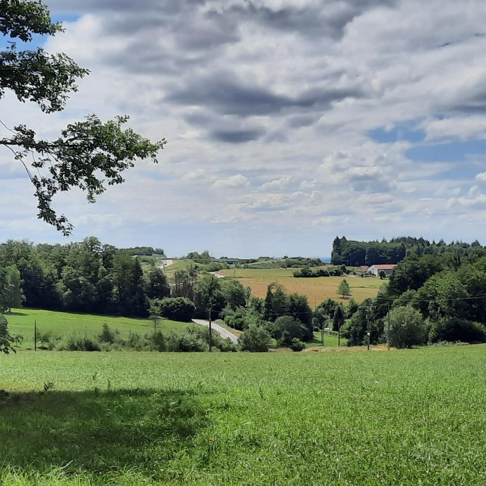
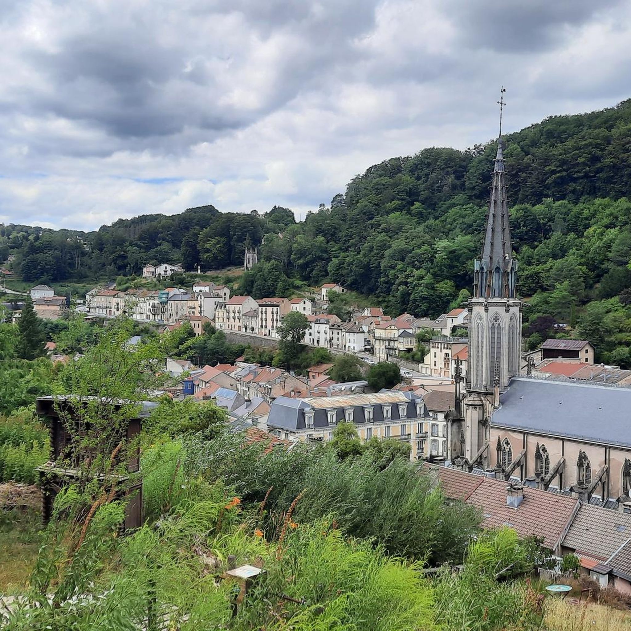
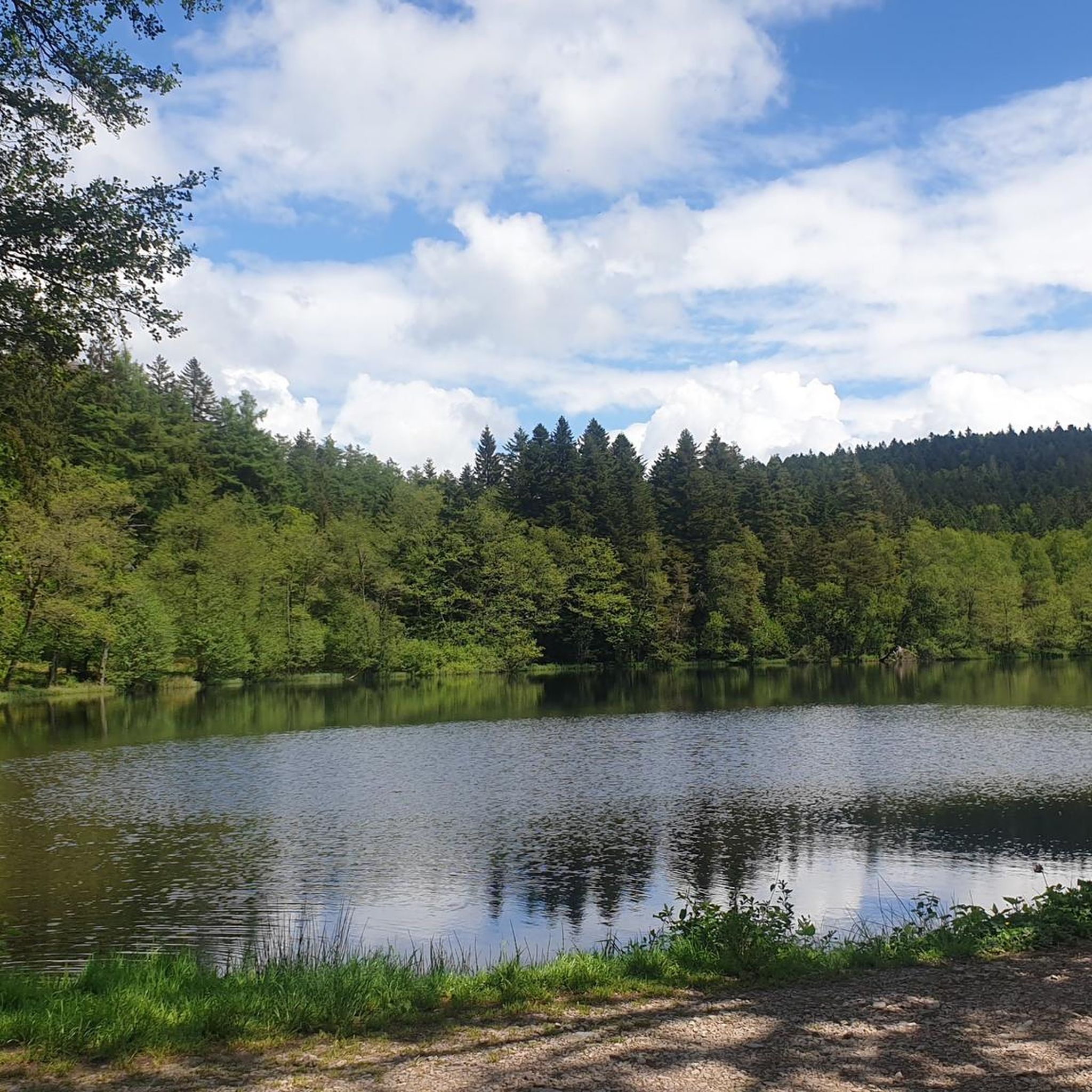

Tips from the Community

The Faymont waterfall is located near Le Val-d’Ajol in the Vosges. The Dréhart stream plunges around 20 meters in several cascades through a wooded granite area. The lowest fall, 2.5 meters high, flows into a small basin that formerly served as a water reservoir for a sawmill. The Cascade de Faymont has been a nature reserve since 1910.
0
0

I found this tip on Google Maps: Big anthill. And yes, it's big!
1
0


The turnaround point after crossing the road is a very narrow and overgrown path. I wouldn't recommend walking this path in rain or after long periods of rain.
1
0
Easy to access, by bike for my part. Not very far from the main road. A beautiful waterfall especially in spring with a retention basin at its base
3
0

Faymont Waterfall is a charming waterfall located in a hiking environment. A nine-kilometer circuit with a 250-meter elevation gain can be reached from Remiremont. Otherwise, the waterfall is easily accessible from Faymont.
3
1

inconspicuous spring with various inscriptions and a bust of the composer Hector Berlioz
1
0
Frequently Asked Questions
How many hiking trails are available around Bellefontaine?
There are over 280 hiking routes in the Bellefontaine area, offering a wide variety of experiences. These include everything from easy strolls to more challenging paths with significant elevation changes, catering to different skill levels.
What kind of terrain can I expect on hikes near Bellefontaine?
The terrain around Bellefontaine is quite diverse, featuring rolling countryside, dense woodlands, meadows, and peaceful wetlands. You'll find trails along lake shorelines, through forests, and on paved greenways like the Simon Kenton Trail. The region is also home to Campbell Hill, Ohio's highest point, offering routes with panoramic views.
Are there any easy or family-friendly hiking options in Bellefontaine?
Yes, Bellefontaine offers many easy and family-friendly options. Over 120 routes are classified as easy, perfect for casual walks or families with children. Areas like Myeerah Nature Preserve have trails suitable for various skill levels, and the paved Simon Kenton Trail is excellent for longer, gentle walks.
Can I find trails with waterfalls or scenic viewpoints?
Yes, the region offers scenic spots. While the provided routes don't explicitly feature waterfalls, you can explore natural monuments like Géhard Waterfall and Gué du Saut Waterfall in the broader area. Campbell Hill, as Ohio's highest point, provides panoramic views of the surrounding Logan County countryside.
What do other hikers say about the trails in Bellefontaine?
The trails in Bellefontaine are highly regarded by the komoot community, with an average rating of 4.3 stars from over 700 reviews. Hikers often praise the diverse terrain, from quiet woodlands to scenic lake areas, and the well-maintained paths that offer varied experiences for all abilities.
Are there any circular hiking routes available?
Yes, there are several circular routes. For example, the Étang du Renard – The Fox Pond loop offers a moderate 7.3 km circular hike. Many trails within Myeerah Nature Preserve also form loops, allowing you to return to your starting point without retracing your steps.
What are some interesting natural features or landmarks to see while hiking?
Beyond the trails themselves, you can explore several natural features and landmarks. These include the peaceful Villerain Pond, the expansive The Semouse Valley, and unique geological formations like Pierre Kerlinquin. The region's highest point, Campbell Hill, also offers a unique photo opportunity and scenic views.
Is public transport available to reach hiking trailheads?
Public transport options directly to specific trailheads in the Bellefontaine area can be limited. It's generally recommended to have personal transportation to access many of the more secluded nature preserves and trail starting points. However, the Simon Kenton Trail is accessible from Bellefontaine itself.
Where can I find parking for hiking trails?
Parking is typically available at the main access points for popular hiking areas. For instance, Myeerah Nature Preserve and Indian Lake State Park have designated parking lots. For trails like the Simon Kenton Trail, you can often find parking in Bellefontaine or at various access points along its length.
What is the best time of year to go hiking in Bellefontaine?
Bellefontaine offers great hiking experiences year-round. Spring brings lush greenery and wildflowers, while fall showcases spectacular color changes in the dense woods, making it a particularly popular time for scenic walks. Summer is ideal for combining hikes with water activities at Indian Lake, and winter offers a quiet, serene landscape for those prepared for colder conditions.
Are there any challenging hikes in the Bellefontaine area?
Yes, for those seeking a challenge, there are 22 routes classified as difficult. An example is the nearly 20 km Faymont waterfall – Beautiful view loop from Plombières-les-Bains, which features over 500 meters of elevation gain. These routes provide more strenuous workouts and often lead to rewarding views.
Can I hike with my dog on the trails?
Many outdoor areas in Bellefontaine, including state parks and nature preserves, are generally dog-friendly, though specific rules may vary. It's always best to check the regulations for individual trails or preserves, such as Myeerah Nature Preserve, regarding leash requirements and waste disposal to ensure a pleasant experience for everyone.
Most popular routes around Bellefontaine
Most popular attractions around Bellefontaine

Get inspired with the komoot mobile app


Explore more
Browse the best Hikes in other regions.
