
The best running trails around Ménil-En-Xaintois
4.5
(11)
410
runners
31
runs
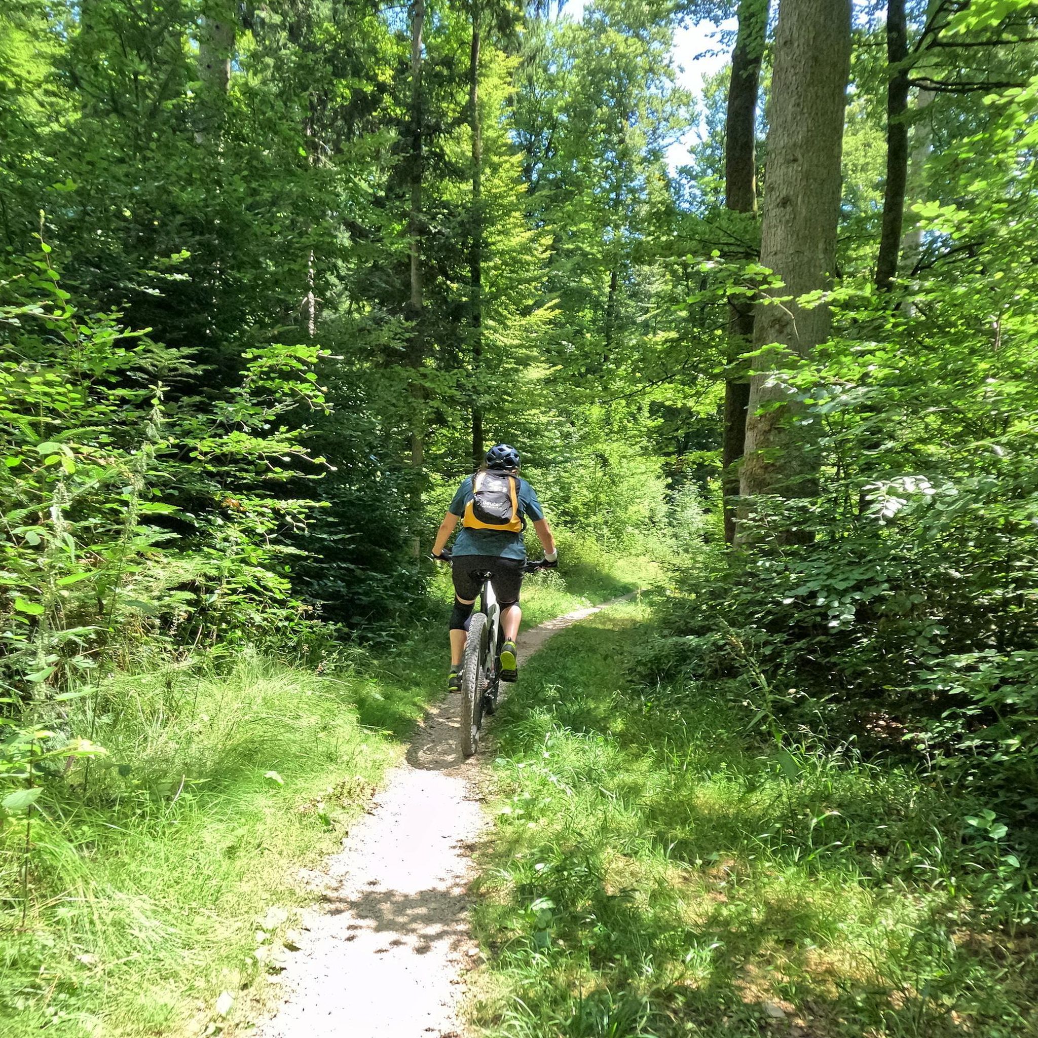
Jogging routes around Ménil-En-Xaintois traverse a rural commune situated on the Vosges Plain in northeastern France. The area features a diverse natural landscape, including fields, pastures, and forests, providing varied terrain for runners. Rolling hills and flat stretches offer different challenges, while the tranquil setting enhances the outdoor experience. This region provides an extensive network of trails suitable for various fitness levels.
Best jogging routes around Ménil-En-Xaintois
- The most popular jogging route is Vittel Thermal Park loop from They-sous-Montfort,…
Last updated: October 8, 2026
6
runners
13.2km
01:27
90m
90m
Moderate run. Good fitness required. Mostly paved surfaces. Suitable for all skill levels.
4
runners
10.9km
01:14
100m
100m
Moderate run. Good fitness required. Mostly paved surfaces. Suitable for all skill levels.

5
runners
8.01km
00:51
60m
60m
Moderate run. Good fitness required. Mostly paved surfaces. Suitable for all skill levels.
5
runners
9.98km
01:03
60m
60m
Moderate run. Good fitness required. Mostly paved surfaces. Suitable for all skill levels.
5
runners
8.43km
00:54
50m
50m
Moderate run. Good fitness required. Mostly paved surfaces. Suitable for all skill levels.
Get access to more routes and recommendations from other explorers.
Already have an account?
Our route recommendations are based on thousands of hikes, rides, and runs completed by other people on komoot.
Start today with a free account
Your next adventure awaits.



Frequently Asked Questions
What kind of terrain can I expect on the running routes around Ménil-En-Xaintois?
The region offers a diverse natural landscape, perfect for running. You'll find a mix of flat stretches through fields and pastures, rolling hills, and shaded forest trails. This variety provides different challenges and scenic backdrops for all fitness levels.
Are there running routes suitable for beginners or those looking for an easy jog?
Yes, Ménil-En-Xaintois has options for various ability levels. While most routes are rated moderate, there are easier paths available. The overall terrain, with its mix of fields and gentle inclines, is generally accessible, making it suitable for beginners to enjoy a refreshing run.
Can I find circular running routes in the Ménil-En-Xaintois area?
Absolutely. Many of the running paths around Ménil-En-Xaintois are designed as loops, allowing you to start and finish at the same point. For example, the Vittel Thermal Park loop from They-sous-Montfort is a popular circular route that offers a scenic experience.
What are some scenic highlights or natural features I might encounter on a run?
The area is characterized by its tranquil rural setting, offering peaceful runs through fields, pastures, and forests. You might also find routes with panoramic views over the surrounding valleys, especially on trails leading to higher points like the Tête des Champs. The presence of small streams within the Meuse river basin also adds to the natural ambiance.
Are there any running routes that pass through or near the Vittel Thermal Park?
Yes, the Vittel Thermal Park is a popular spot for runners. You can explore routes like the Vittel Thermal Park loop from Vittel, which offers a pleasant mix of parkland and urban running with gentle inclines, perfect for a refreshing jog.
What do other runners say about the trails in Ménil-En-Xaintois?
The running routes in Ménil-En-Xaintois are generally well-regarded by the komoot community, with an average rating of 2.5 stars. Runners often appreciate the varied terrain, from open fields to shaded forests, and the tranquil rural setting that provides a peaceful escape.
Are the running routes around Ménil-En-Xaintois suitable for families?
The diverse and generally accessible terrain, featuring a mix of flat stretches and gentle inclines through fields and forests, makes many routes suitable for families. Shorter, less challenging options are available, allowing families to enjoy outdoor activity together in a peaceful environment.
Can I bring my dog on the running trails in this region?
While specific regulations for each trail may vary, the rural setting of Ménil-En-Xaintois with its extensive network of paths through fields and forests generally offers a dog-friendly environment. It's always recommended to keep your dog on a leash and respect local signage, especially near agricultural areas or wildlife.
What is the typical distance and duration for a running route in Ménil-En-Xaintois?
Running routes in the area vary in length, catering to different preferences. For instance, the Etang de la Lochère loop from Saint-Menge is about 8.2 miles (13.2 km) and typically takes around 1 hour 27 minutes to complete, offering a good moderate challenge.
Is there parking available near the running trailheads?
Given the rural nature of Ménil-En-Xaintois and its surrounding communes, parking is generally available near villages or designated starting points for trails. It's advisable to check specific route details on komoot for information on parking facilities at individual trailheads.
What is the best time of year to go running in Ménil-En-Xaintois?
The region offers pleasant running conditions throughout much of the year. Spring and autumn provide mild temperatures and beautiful scenery. During warmer months, the forest trails offer welcome shade. Winter running is also possible, though conditions may vary, so checking local weather and trail conditions is always recommended.
Are there any shorter running loops available, for example, around 5-6 km?
Yes, there are shorter options for a quicker run. For example, the Running loop from La Neuveville-sous-Châtenois is approximately 5.7 km (3.5 miles) and can be completed in under 40 minutes, offering a moderate and accessible option.
How many running routes are there in total around Ménil-En-Xaintois?
Komoot lists over 20 running routes in the Ménil-En-Xaintois area, providing a wide selection for runners of all levels. This extensive network ensures you'll find plenty of options to explore the diverse landscapes of the Vosges Plain.

Get inspired with the komoot mobile app


Explore more
Browse the best Running Trails & Routes in other regions.
