The best walks and hikes around La Haute-Beaume
4.5
(66)
314
hikers
10
hikes
Hiking around La Haute-Beaume reveals a landscape characterized by varied elevations, including valleys, cols, and forested slopes. The region features a mix of open ridges and riverine environments, providing diverse terrain for outdoor activities. These natural features contribute to a range of hiking experiences, from moderate ascents to more challenging routes.
Best hiking trails around La Haute-Beaume
- The most popular hiking route is Torrent de Durbonas loop from La Faurie, a moderate 4.1 miles (6.7 km) trail that takes…
Last updated: May 12, 2026
4.6
(25)
96
hikers
6.68km
02:15
330m
330m
Moderate hike. Good fitness required. Easily-accessible paths. Suitable for all skill levels.
17
hikers
12.2km
03:53
520m
520m
Moderate hike. Good fitness required. Easily-accessible paths. Suitable for all skill levels.

Sign up for free
13
hikers
11.9km
03:55
530m
530m
Moderate hike. Good fitness required. Easily-accessible paths. Suitable for all skill levels.
4.0
(1)
7
hikers
13.9km
04:48
730m
730m
Moderate hike. Good fitness required. Mostly accessible paths. Sure-footedness required.
4
hikers
25.3km
08:50
1,320m
1,320m
Hard hike. Very good fitness required. Mostly accessible paths. Sure-footedness required.
Get access to more routes and recommendations from other explorers.
Sign up for free
Already have an account?
Our route recommendations are based on thousands of hikes, rides, and runs completed by other people on komoot.
Start today with a free account
Your next adventure awaits.
Login or Signup

Tips from the Community

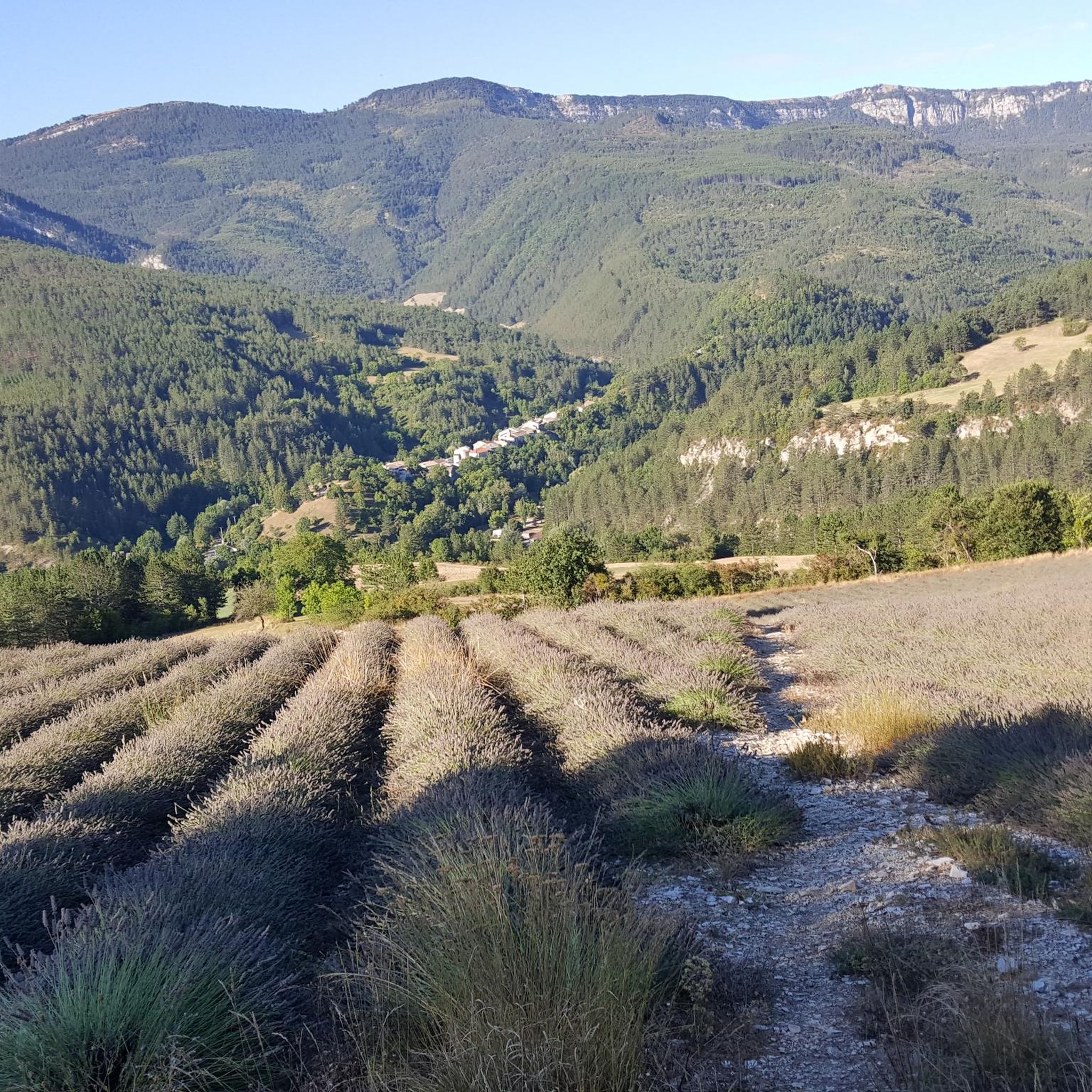
Very beautiful panorama on the Hautes Alpes side
1
0

This beautiful, unguarded wooden cabin is made up of 2 fixed tables downstairs and a bed upstairs. It is located at the edge of the path and is an ideal shelter to spend the night.
0
0
The Col d'Aron culminates at an altitude of 1,450 meters. It is easily accessible by the forest track. A cabin provides shelter. Picnic tables are also nearby.
0
0

Lots of hikers, few mountain bikers but worth it. Some portions where you have to push the bike, the rest rolling well.
0
0
Incredible track by its coating not without too much gravel and the incredible view. View of Mount Duffre
0
0

Also called Montagne de l'Aup, Le Duffre is located at an altitude of 1,757 meters and offers a beautiful panoramic view of the mountains and valleys!
1
0
From here we have a superb view of the ridge, the valleys and the mountains!
0
0

The Col de Carabès from Valdrôme is 9.7km long with an average gradient of 4.9%. From Sigottier the climb is 10.5km with an average gradient of 5.15%.
2
0
Frequently Asked Questions
How many hiking trails are available around La Haute-Beaume?
There are over 10 hiking trails documented on komoot for the La Haute-Beaume area, offering a variety of experiences across different difficulty levels.
Are there any easy hikes suitable for beginners in La Haute-Beaume?
While La Haute-Beaume is known for its moderate to difficult terrain, there are no trails specifically classified as 'easy' for beginners. Most routes involve varied elevations and are best suited for hikers with some experience. The shortest moderate route is the Torrent de Durbonas loop from La Faurie, which is 4.1 miles (6.7 km).
What kind of challenging hikes can I find in La Haute-Beaume?
La Haute-Beaume offers several challenging routes for experienced hikers. For instance, the View of the Ridges – Le Duffre (Montagne de l'Aup) loop from Valdrôme is a difficult 15.7-mile (25.2 km) trail with significant elevation gain, providing a demanding experience.
Are there any circular walks in the La Haute-Beaume region?
Yes, many of the trails around La Haute-Beaume are designed as circular routes, allowing you to start and end at the same point. Examples include the Roc de Beauvent loop from La Bâtie-des-Fonds and the Col de Carabès – Col de Carabès loop from La Piarre.
What are the typical durations for hikes in La Haute-Beaume?
Hike durations vary depending on the trail's length and difficulty. Moderate routes like the Torrent de Durbonas loop from La Faurie typically take around 2 hours 15 minutes, while longer, more challenging trails can extend to 8-9 hours or more.
What can I see along the hiking trails in La Haute-Beaume?
The trails often lead through diverse landscapes, including forested areas, mountain passes, and open ridges. Notable points of interest include the Col de Carabès and the Col de la Haute Beaume (1268 m). You can also find viewpoints offering superb vistas, such as the Superb view of Mont Duffre.
Is La Haute-Beaume suitable for family hikes?
Given the prevalence of moderate to difficult trails and varied terrain, La Haute-Beaume is generally better suited for families with older children or those accustomed to more challenging hikes. There are no specific 'easy' trails for very young children or strollers.
Are dogs allowed on the hiking trails in La Haute-Beaume?
Generally, dogs are welcome on most hiking trails in the La Haute-Beaume area, provided they are kept under control, especially in areas with livestock or wildlife. Always check local signage for specific restrictions, particularly within nature reserves or protected areas.
What is the best time of year to go hiking in La Haute-Beaume?
The best time for hiking in La Haute-Beaume is typically from late spring to early autumn (May to October). During these months, the weather is generally mild and stable, and the trails are clear of snow. Autumn offers beautiful foliage, while spring brings blooming wildflowers.
Are there any cafes or refreshment stops near the hiking trails?
La Haute-Beaume is a rural area, so amenities like cafes are not directly on every trail. It's advisable to carry sufficient water and snacks. You may find small shops or eateries in the nearby villages such as La Faurie or Valdrôme, which serve as starting points for some routes.
What do other hikers enjoy most about hiking in La Haute-Beaume?
The area is highly rated by the komoot community, with an average score of 4.7 stars. Reviewers often praise the diverse terrain, the quiet woodlands, and the rewarding views from elevated sections and mountain passes, highlighting the region's natural beauty and varied hiking experiences.
Is public transport available to reach the trailheads in La Haute-Beaume?
Public transport options to reach specific trailheads in the rural La Haute-Beaume area are limited. It is generally recommended to travel by car to access most starting points. Some villages like Valdrôme or La Faurie might have infrequent bus services, but checking local schedules in advance is crucial.
Most popular attractions around La Haute-Beaume

Get inspired with the komoot mobile app


Explore more
Browse the best Hikes in other regions.
