The best road cycling routes around Xertigny
4.6
(115)
3,374
riders
38
rides
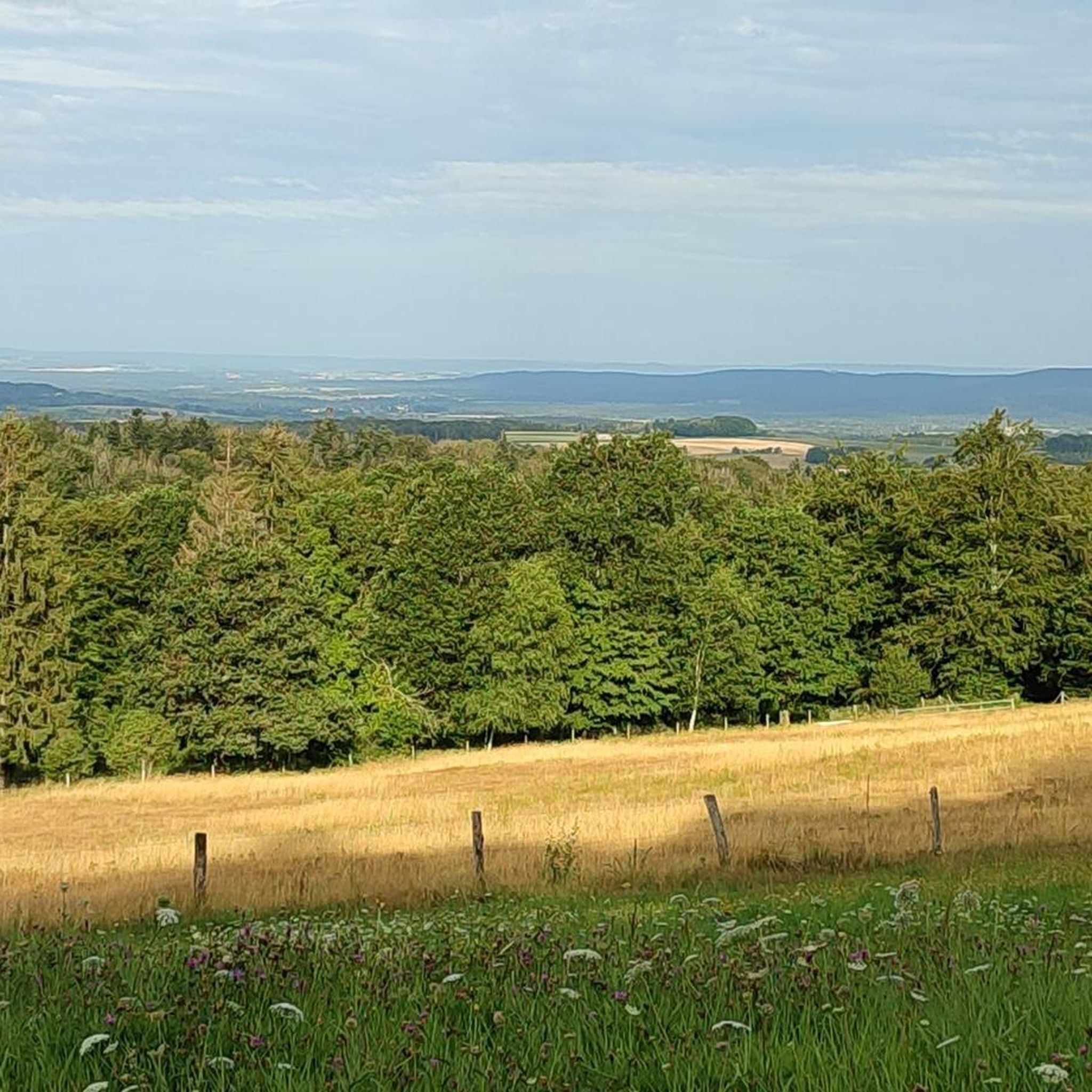
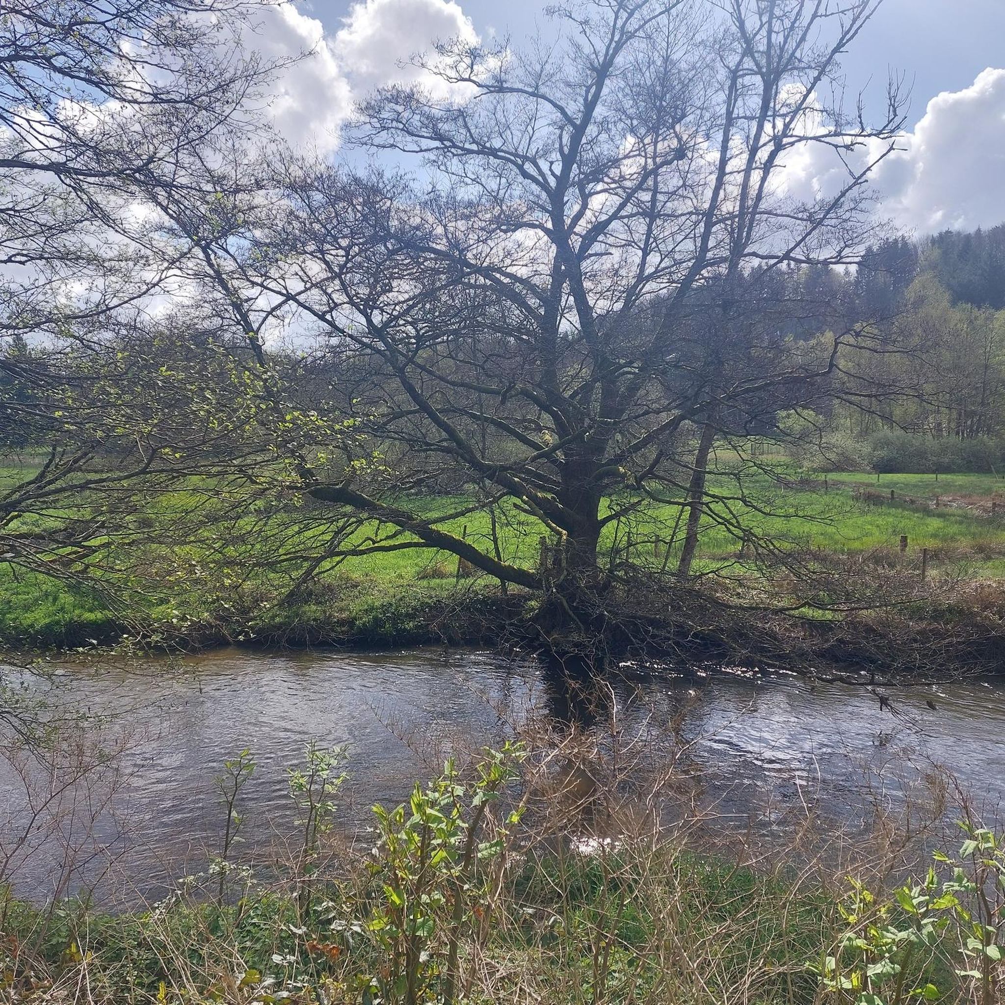
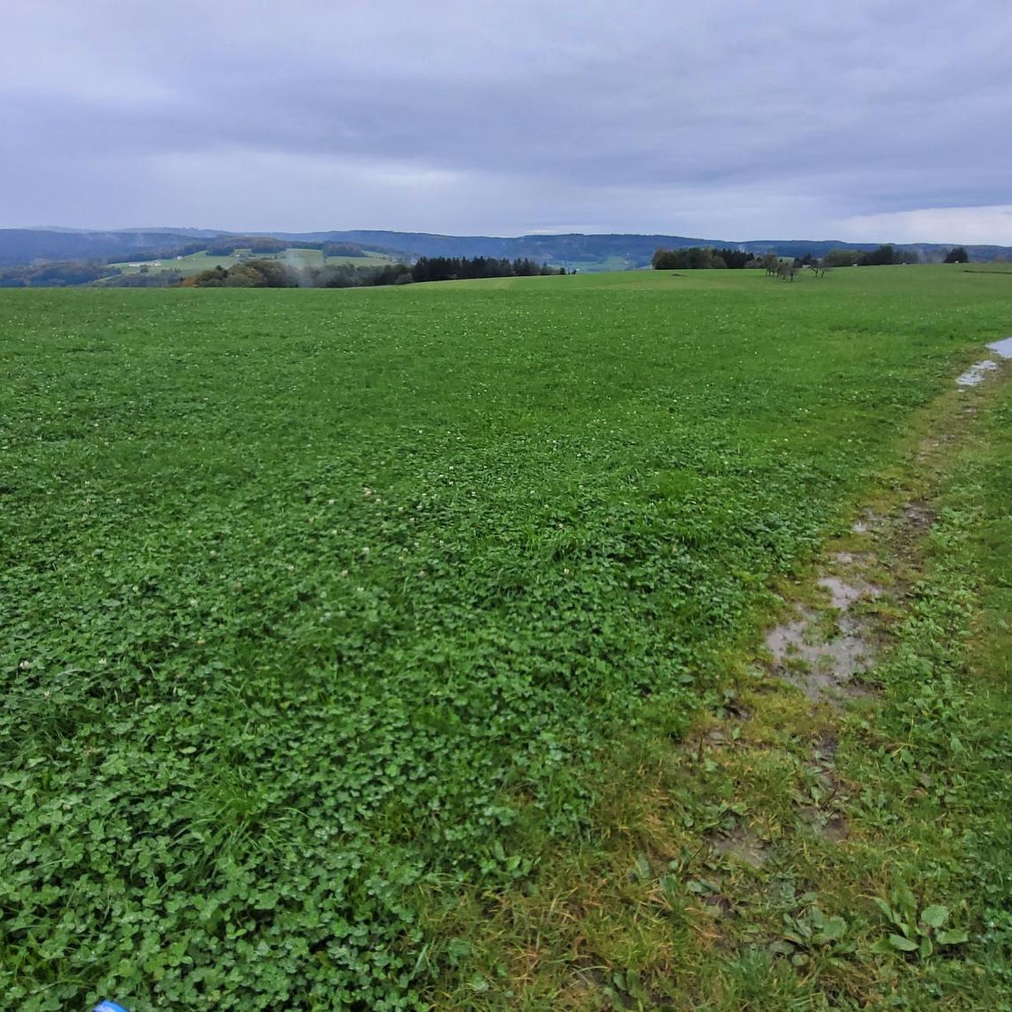
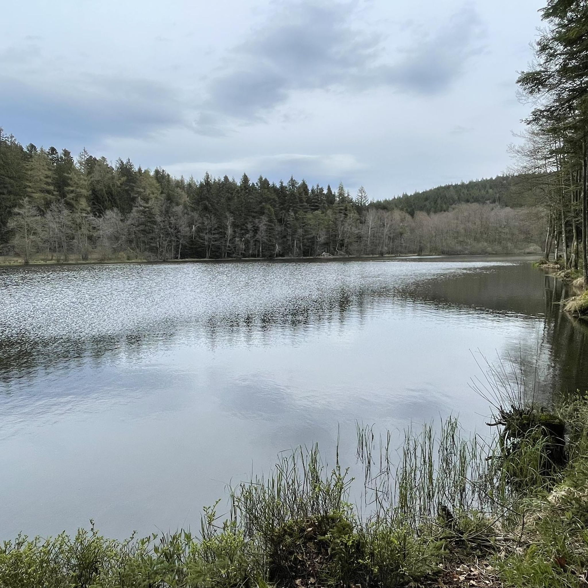
Road cycling around Xertigny offers varied landscapes within the Vôge region of the Vosges department. The area features extensive forests, including ancient oaks and Douglas-firs, alongside hilly terrain that provides diverse cycling environments. Water features like the Gué du Saut Waterfall and local ponds add to the scenic routes. The broader Vosges Mountains present challenging yet manageable climbs, making Xertigny a destination for road cyclists seeking both serene and demanding rides.
Best road cycling routes around Xertigny
- The most popular road cycling route is Mont de Fourche Pass – Col des Croix loop from Xertigny, a 64.4 miles (103.7 km) trail that takes 4 hours 59 minutes to complete. This difficult route traverses significant elevation changes through the Vosges landscape.
- Another top favourite among local road cyclists is View of Blanzey – Gué du Saut Waterfall loop from Xertigny, a difficult 68.0 miles (109.4 km) path. This route offers views of natural features, including the Gué du Saut Waterfall, amidst the region's forests.
- Local road cyclists also love the Top canal – vosges canal loop from Xertigny, a 56.9 miles (91.6 km) trail leading through canal-side paths and the surrounding countryside, often completed in about 4 hours 47 minutes.
- Road cycling around Xertigny is defined by dense forests, hilly terrain, and water features. The network offers options for easy, moderate, and difficult routes, catering to various ability levels.
- The routes in Xertigny are highly rated by the komoot community with an average score of 4.6 stars from over 60 reviews. More than 1000 road cyclists have used komoot to explore Xertigny's varied terrain.
Last updated: October 3, 2026
5.0
(3)
64
riders
116km
05:01
640m
640m
Hard road ride. Very good fitness required. Mostly well-paved surfaces and easy to ride.
14
riders
175km
08:14
2,190m
2,190m
Hard road ride. Very good fitness required. Mostly well-paved surfaces and easy to ride.

8
riders
53.6km
02:34
660m
660m
Moderate road ride. Good fitness required. Mostly well-paved surfaces and easy to ride.
10
riders
92.3km
04:50
1,090m
1,090m
Hard road ride. Very good fitness required. Mostly well-paved surfaces and easy to ride.
6
riders
53.3km
02:26
600m
600m
Moderate road ride. Good fitness required. Mostly well-paved surfaces and easy to ride.
Get access to more routes and recommendations from other explorers.
Already have an account?
Our route recommendations are based on thousands of hikes, rides, and runs completed by other people on komoot.
Start today with a free account
Your next adventure awaits.

Tips from the Community

De Col des Croix is a 679-meter-high mountain pass in the French Vogezen massif, located on the border of the Vosges and Haute-Saône departments. The pass forms an accessible connecting road (the D486) between the northern Le Thillot and the southern Servance. At the top, you will find the well-known Le Chalet Snack du Col des Croix, and the road splits towards the D16 (Route des Forts), the route that continues to the higher Ballon de Servance.
6
0
The end of the climb is somewhat disappointing. There is nothing marked. No photo opportunity. You have a small parking lot, a closed military road, and a picnic spot well hidden under the trees. At the two yellow signs (mainly for hikers) there is the only indication that you are at the Ballon de Servance and at 1158 m. The climb is "cozy". No cars, completely shaded, a few kilometer markers.
7
0
La Planche des Belles Filles is a 5.8 kilometer climb. It is a category 1 climb. It is located in Plancher Les Mines, Franche-Comté, France. The average gradient of this climb is 8.6% with a maximum of 13.6%. La Planche des Belles Filles climbs from 527 meters at the start to 1,033 meters at the summit, for a total elevation gain of 506 meters.
7
0
This 5.9-kilometer climb from the village of Plancher-les-Mines in Haute-Saône is one of the most difficult in the Vosges. Indeed, cyclists who want to try it will need to be at least somewhat trained. With a gradient of 24% towards the end of the route, it's better to be well-attached. The gradient never seems to ease, with its hairpin bends and, upon reaching the resort, the last 2 kilometers rise like a wall. However, you'll be able to say that you've done it, so come and try the climb of La Planche too!
8
0

beautiful and historic bridge
0
0

A small pass after the Ballon de Severance. Refreshment stand with a view.
3
0
It starts gently... but that's just the beginning.
1
0

Frequently Asked Questions
How many road cycling routes are available around Xertigny?
There are over 35 road cycling routes around Xertigny, catering to various skill levels. You'll find a good mix, with 4 easy routes, 23 moderate routes, and 8 difficult routes to explore.
What kind of terrain can I expect when road cycling near Xertigny?
The terrain around Xertigny is characterized by extensive forests and hilly landscapes, part of the broader Vosges Mountains. You can expect diverse cycling environments, from serene wooded paths to more challenging climbs with significant elevation changes, offering panoramic views.
What natural features or landmarks can I see along road cycling routes in Xertigny?
Many routes will take you through dense forests, past charming ponds, and to natural attractions like the majestic Gué du Saut Waterfall. The region is known for its 'ocean of green' with ancient oaks and impressive Douglas-firs. You might also encounter the Le Cuvant des Fées, a unique octagonal pool carved into sandstone.
Are there road cycling routes suitable for beginners or families in Xertigny?
Yes, Xertigny offers several routes suitable for beginners and families. There are 4 easy routes available, providing a gentler introduction to road cycling in the area. These routes often feature less challenging terrain and elevation.
Can I find challenging road cycling routes in the Xertigny area?
Absolutely. The Vosges Mountains provide a backdrop for challenging rides. Routes like the Mont de Fourche Pass – Col des Croix loop from Xertigny and the View of Blanzey – Gué du Saut Waterfall loop from Xertigny are classified as difficult, featuring significant elevation gains and longer distances for experienced cyclists.
Are there circular road cycling routes available in Xertigny?
Yes, many of the road cycling routes around Xertigny are designed as loops, allowing you to start and finish in the same location. Examples include the Eco toilet loop from Église Notre-Dame-de-la-Nativité and the Étang du Martinet – Étang Bardoz loop from Xertigny.
What is the best time of year for road cycling in Xertigny?
The region's varied landscapes are enjoyable throughout the warmer months. Spring and autumn offer pleasant temperatures and beautiful scenery, while summer provides longer daylight hours. Always check local weather conditions before heading out.
Are there any historical sites or points of interest accessible by road bike?
Beyond natural beauty, you can cycle to historical points of interest. The town of Xertigny itself features the Château de Xertigny, now the town hall, surrounded by a beautiful arboretum. Other nearby sites include the Grotto of Saint-Martin and the Fort du Parmont.
Where can I find parking for road cycling routes in Xertigny?
Xertigny is a welcoming base for cyclists, and parking is generally available within the town, especially near the Office de Tourisme or other public areas, which can serve as convenient starting points for many routes.
Are there places to eat or drink along the road cycling routes?
While specific cafes directly on every route may vary, Xertigny and its surrounding villages offer options for refreshments. Planning your route to pass through these towns will allow you to find places to eat and drink. The local Office de Tourisme can also provide information on amenities.
What do other road cyclists enjoy most about the routes in Xertigny?
The road cycling routes in Xertigny are highly rated by the komoot community, with an average score of 4.6 stars from over 60 reviews. Cyclists often praise the diverse terrain, the beauty of the dense forests, and the scenic water features like the Gué du Saut Waterfall, which make for engaging and memorable rides.
Is there a dedicated cycling path near Xertigny?
Yes, the 'véloroute La voie bleue' is conveniently located just 10km from Xertigny, offering a dedicated cycling path for those looking for a different kind of riding experience away from main roads.
Most popular attractions around Xertigny

Get inspired with the komoot mobile app


Explore more
Browse the best Road cycling routes in other regions.
