The best running trails around Éloyes
4.3
(21)
996
runners
25
runs
Jogging routes around Éloyes offer diverse terrain within the Vosges region of France, characterized by extensive forests, varied landscapes, and well-maintained trails. The area features a mix of pine forests, ponds, and peat bogs, shaped by glacial activity. Éloyes provides numerous paths along the Moselle River and within the Massif du Fossard, creating a dynamic environment for running. The landscape includes moderate hills and water features, offering varied challenges for joggers.
Best jogging routes around Éloyes
- The most popular jogging…
Last updated: October 8, 2026
39
runners
15.0km
01:58
500m
500m
Hard run. Very good fitness required. Mostly paved surfaces. Suitable for all skill levels.
28
runners
8.53km
00:55
60m
60m
Moderate run. Good fitness required. Mostly paved surfaces. Suitable for all skill levels.

26
runners
25.5km
03:21
860m
860m
Hard run. Very good fitness required. Mostly paved surfaces. Suitable for all skill levels.
5.0
(2)
20
runners
12.8km
01:31
90m
90m
Moderate run. Good fitness required. Mostly paved surfaces. Suitable for all skill levels.
15
runners
26.5km
03:29
980m
980m
Hard run. Very good fitness required. Mostly accessible paths. Some sure footedness required.
Get access to more routes and recommendations from other explorers.
Already have an account?
Our route recommendations are based on thousands of hikes, rides, and runs completed by other people on komoot.
Start today with a free account
Your next adventure awaits.
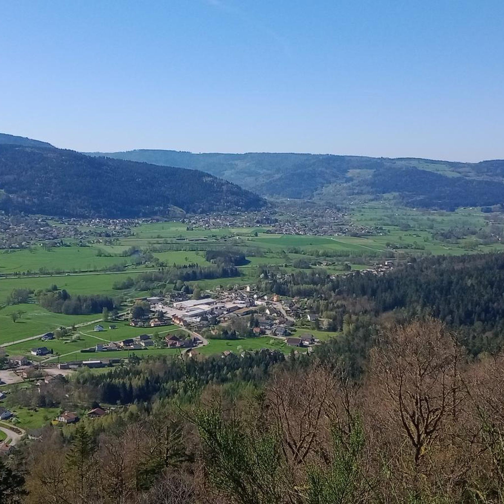
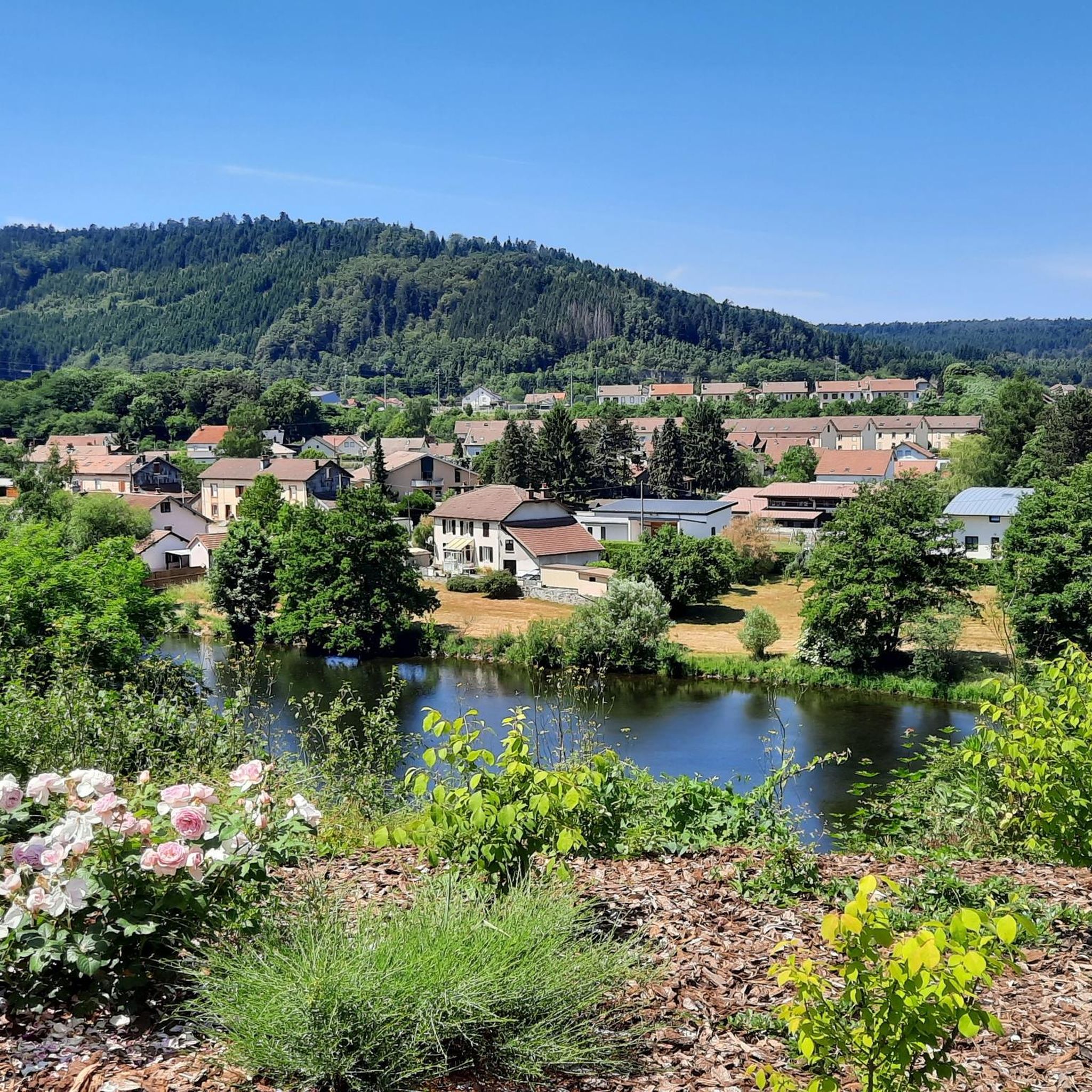
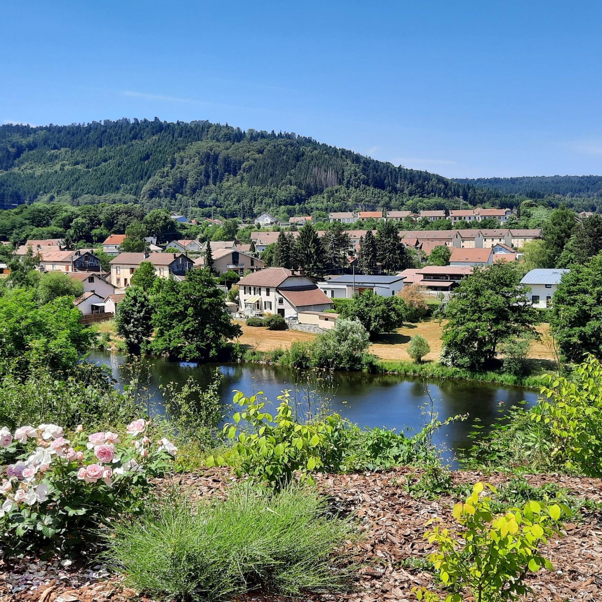
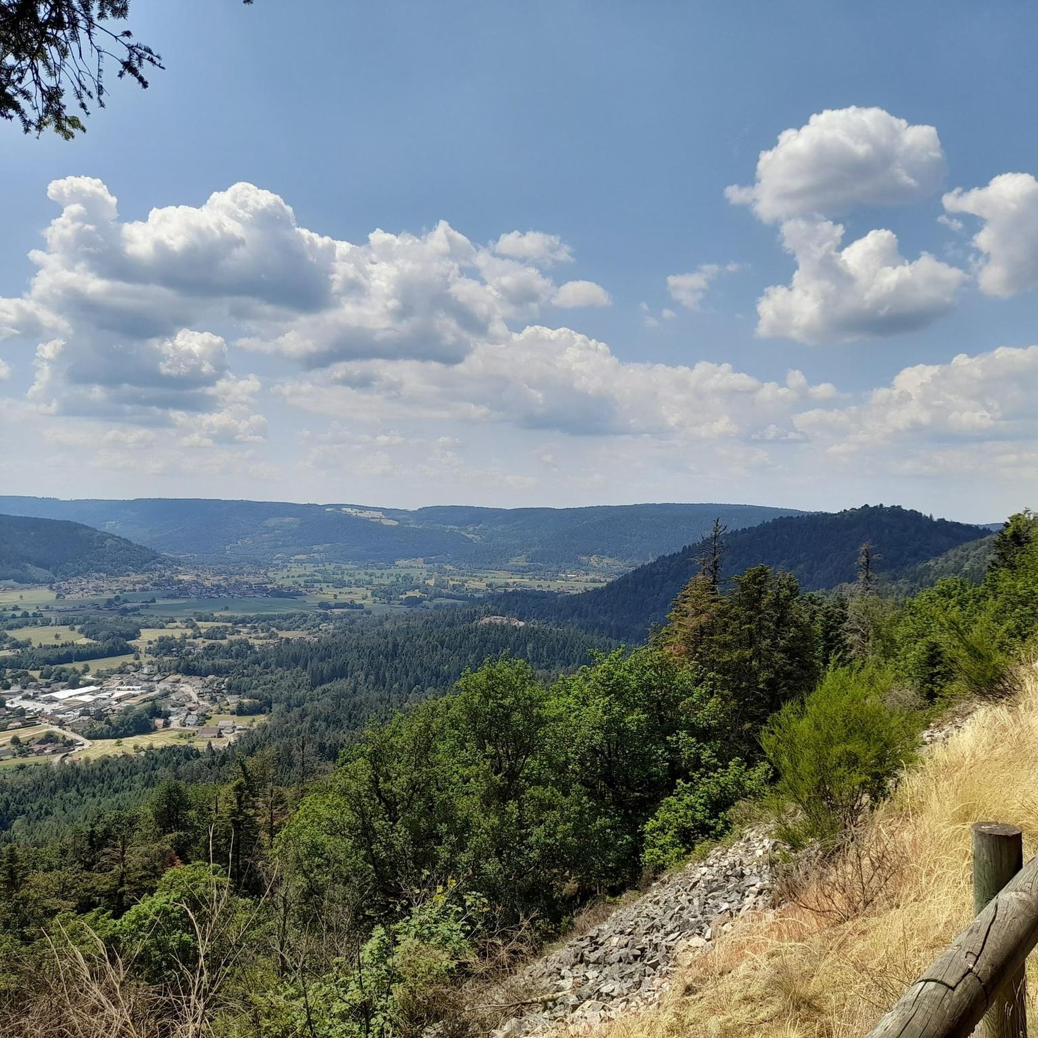

Tips from the Community

The Moraine de Noirgueux near Saint-Nabord in the Vosges is an impressive testament to the last ice age. Around 15,000 years ago, the Moselle glacier pushed its way down the valley, leaving behind four striking moraine arcs of rubble, sand, and gravel. The glacier at the time was about 40 kilometers long. A short educational trail explains the ice age landscape and the formation of the former Remiremont lake.
0
0

A trail without technical difficulties in the Saint-Nabord trail station.
2
0
A site of both natural and historical importance. The Noirgueux site features a set of four moraine arches identical to what they were when the glacier formed them approximately 15,000 years ago. It also houses a memorial commemorating the liberation of Remiremont during the Second World War.
2
0

Here, it feels like everything is green—the trees, including tree trunks, rocks, and stones; the ground—where there are no leaves, there's moss. A very pleasant section of the trail leads from the Petite Cascade de Tendon up to the La Brostille viewpoint (from there, continuing to the Grand Cascade).
1
0

A beautiful, rustic stone path runs along a small forest stream up the valley. It's a perfect circular walk, taking in the Grande Cascade de Tendon and the Petit Cascade. Highly recommended, especially when the sun is shining beautifully through the trees.
1
0

At 32 meters, the "Grande Cascade de Tendon" is the largest waterfall in the Vosges Mountains. The water cascades down in three stages, creating an impressive spectacle!
5
0

Beginning and end of the hike.
1
0

The Grande Cascade de Tendon is the largest in the Vosges mountains. It falls 32 meters in three separate falls.
6
0
Frequently Asked Questions
How many running routes are available around Éloyes?
There are over 25 running routes around Éloyes, offering a wide variety of options for different fitness levels. You'll find everything from moderate trails to more challenging routes with significant climbs.
What kind of terrain can I expect on the running trails in Éloyes?
The running trails in Éloyes feature diverse terrain, including extensive pine forests, varied landscapes shaped by glaciers, and paths along the Moselle River. You can expect a mix of forest paths, some paved sections, and moderate hills, especially within the Massif du Fossard.
Are there routes suitable for beginners or those looking for an easier run?
Yes, while many routes are moderate to difficult, there are options for all levels. For a moderate run with minimal elevation, consider the Étang de la Prairie du Vouau loop from Éloyes, which offers a pleasant 13 km path.
What do other runners say about the trails in Éloyes?
The running routes in Éloyes are highly rated by the komoot community, with an average score of 4.5 stars from more than 15 reviews. Nearly 1000 runners have used komoot to explore the varied terrain, often praising the scenic beauty and well-maintained paths.
Are there many circular running routes in Éloyes?
Yes, most of the running routes around Éloyes are designed as circular loops, allowing you to start and finish in the same location. This makes planning your run convenient, whether you're starting from the town center or a specific trailhead.
Can I find running routes that pass by waterfalls near Éloyes?
Absolutely! The region is known for its beautiful water features. You can explore routes that lead to the notable Great Tendon Waterfall and the Little Waterfall of Tendon. While primarily hiking trails, their well-trodden paths can be suitable for experienced trail runners, especially the Tendon waterfalls loop.
Which running trails offer the best scenic views or viewpoints?
For breathtaking vistas, consider routes that explore the Massif du Fossard. The Tacaumont viewpoint loop from Éloyes is a moderate 12.7 km run offering great views. The Tête des Cuveaux – Roche des Cuveaux loop from Éloyes also provides magnificent views of the Moselle valley from over 350 meters in height.
Are the running trails around Éloyes dog-friendly?
Generally, yes, the natural trails and forest paths around Éloyes are dog-friendly. It's always recommended to keep your dog on a leash, especially in areas with wildlife or near livestock, and to carry waste bags. Enjoy exploring the beautiful Vosges landscapes with your canine companion!
Are there family-friendly running paths suitable for all ages?
Yes, Éloyes offers several paths suitable for families, particularly those looking for a more relaxed pace or shorter distances. The flatter sections along the Moselle River or around local ponds like the Étang de la Prairie du Vouau are excellent choices for a family outing. Look for routes marked as 'easy' or 'moderate' on komoot.
Is parking available near the starting points of the running routes?
Yes, Éloyes serves as a convenient starting point for many routes, and parking is generally available within the town or at designated trailheads. For specific routes, checking the komoot tour details will often provide information on parking options near the start.
How accessible are the running routes by public transport?
While Éloyes itself is accessible by public transport, many of the more secluded trailheads might require a short walk or a local bus connection. It's best to plan your route in advance and check local transport schedules if you intend to rely on public transport to reach specific starting points outside the town center.
What is the typical length and difficulty of running routes in the Éloyes area?
The running routes vary significantly in length and difficulty. You'll find routes ranging from around 10 km to over 25 km. Difficulty levels span from moderate, with gentle inclines, to difficult, featuring significant elevation gains of several hundred meters, such as the challenging Tête des Founelles – Tête des Cuveaux loop from Éloyes.
Most popular attractions around Éloyes

Get inspired with the komoot mobile app


Explore more
Browse the best Running Trails & Routes in other regions.
