The best walks and hikes around Pouxeux
4.4
(2047)
10,587
hikers
302
hikes
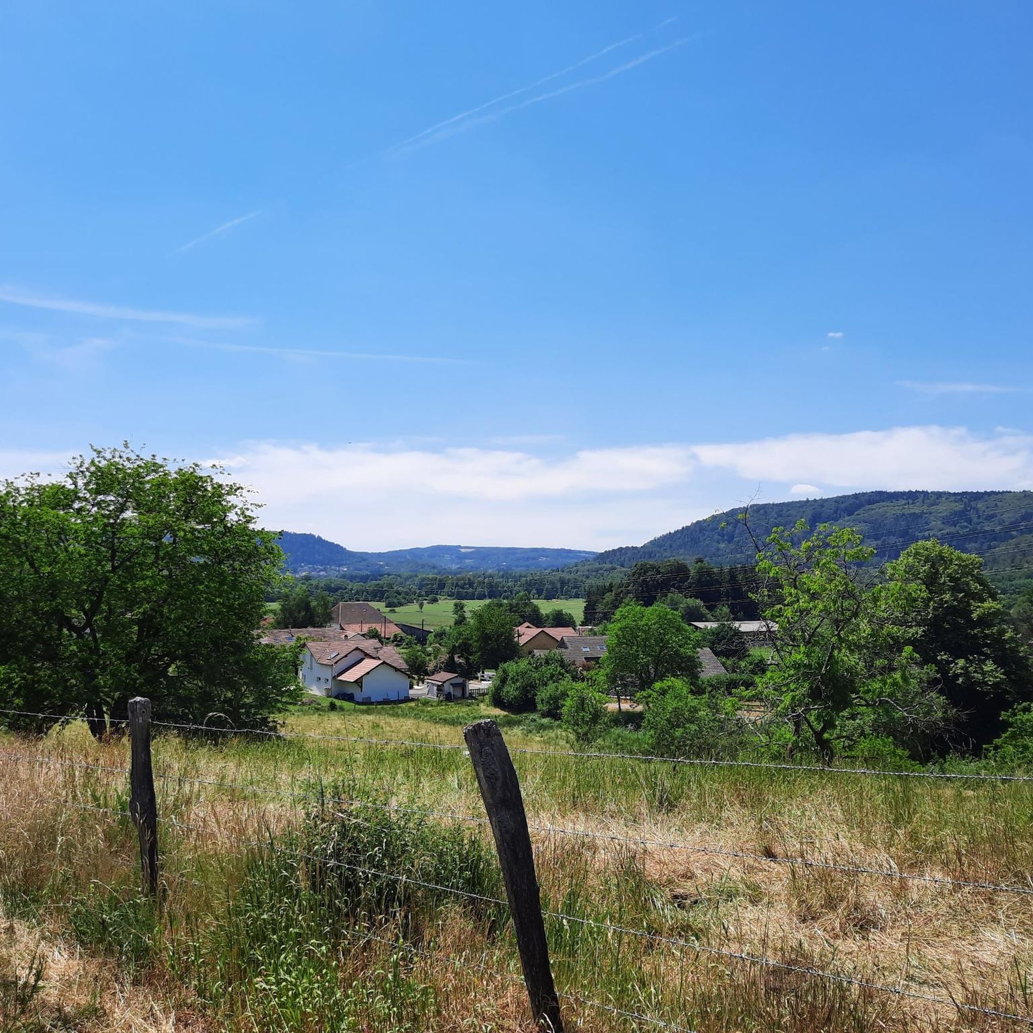
Hiking around Pouxeux offers varied terrain, characterized by rolling hills and forested areas, providing diverse options for outdoor exploration. The region's landscape includes moderate elevation changes, making it suitable for different hiking abilities. Many trails follow natural contours, connecting local points of interest and offering views of the surrounding countryside.
Best hiking trails around Pouxeux
- The most popular hiking route is Hiking loop from La Croix Bouquot, a 4.0 miles (6.5 km) trail that takes 1 hour 53 minutes…
Last updated: October 8, 2026
4.5
(2)
15
hikers
14.2km
03:44
120m
120m
Moderate hike. Good fitness required. Easily-accessible paths. Suitable for all skill levels.
5.0
(2)
7
hikers
6.50km
01:53
170m
170m
Easy hike. Great for any fitness level. Easily-accessible paths. Suitable for all skill levels.

9
hikers
8.81km
02:17
50m
50m
Moderate hike. Good fitness required. Easily-accessible paths. Suitable for all skill levels.
5.0
(1)
8
hikers
15.1km
04:35
500m
500m
Moderate hike. Good fitness required. Easily-accessible paths. Suitable for all skill levels.
8
hikers
Hard hike. Very good fitness required. Easily-accessible paths. Suitable for all skill levels.
Get access to more routes and recommendations from other explorers.
Already have an account?
Our route recommendations are based on thousands of hikes, rides, and runs completed by other people on komoot.
Start today with a free account
Your next adventure awaits.


Tips from the Community

The Moraine de Noirgueux near Saint-Nabord in the Vosges is an impressive testament to the last ice age. Around 15,000 years ago, the Moselle glacier pushed its way down the valley, leaving behind four striking moraine arcs of rubble, sand, and gravel. The glacier at the time was about 40 kilometers long. A short educational trail explains the ice age landscape and the formation of the former Remiremont lake.
0
0
Roche des Cuveaux is located near Éloyes in the Vosges. The viewing tower of the Tête des Cuveaux is 9 m high and stands at an altitude of around 783 m. From the top, you have a beautiful panoramic view over the Moselle valley and the Vosges; an orientation map helps with summit identification. Tourisme Vosges +1
0
0
Roche des Cuveaux is located near Éloyes in the Vosges. The Tête des Cuveaux observation tower is 9 m high and stands at an altitude of around 783 m. From the top, there is a beautiful panoramic view of the Moselle valley and the Vosges; an orientation map helps with summit identification.
0
0

A trail without technical difficulties in the Saint-Nabord trail station.
2
0
A site of both natural and historical importance. The Noirgueux site features a set of four moraine arches identical to what they were when the glacier formed them approximately 15,000 years ago. It also houses a memorial commemorating the liberation of Remiremont during the Second World War.
2
0

Very nice hike but viewpoint is off-limits...Disappointing
2
0
Beautiful church in Pouxeux https://pouxeux.catholique88.fr/lieu/eglise-saints-gorgon-et-nabord
3
0
Frequently Asked Questions
How many hiking trails are available around Pouxeux?
There are over 260 hiking trails in and around Pouxeux, offering a wide range of options for different skill levels and preferences. You'll find everything from short, easy walks to more challenging, longer routes.
What is the general terrain like for hiking around Pouxeux?
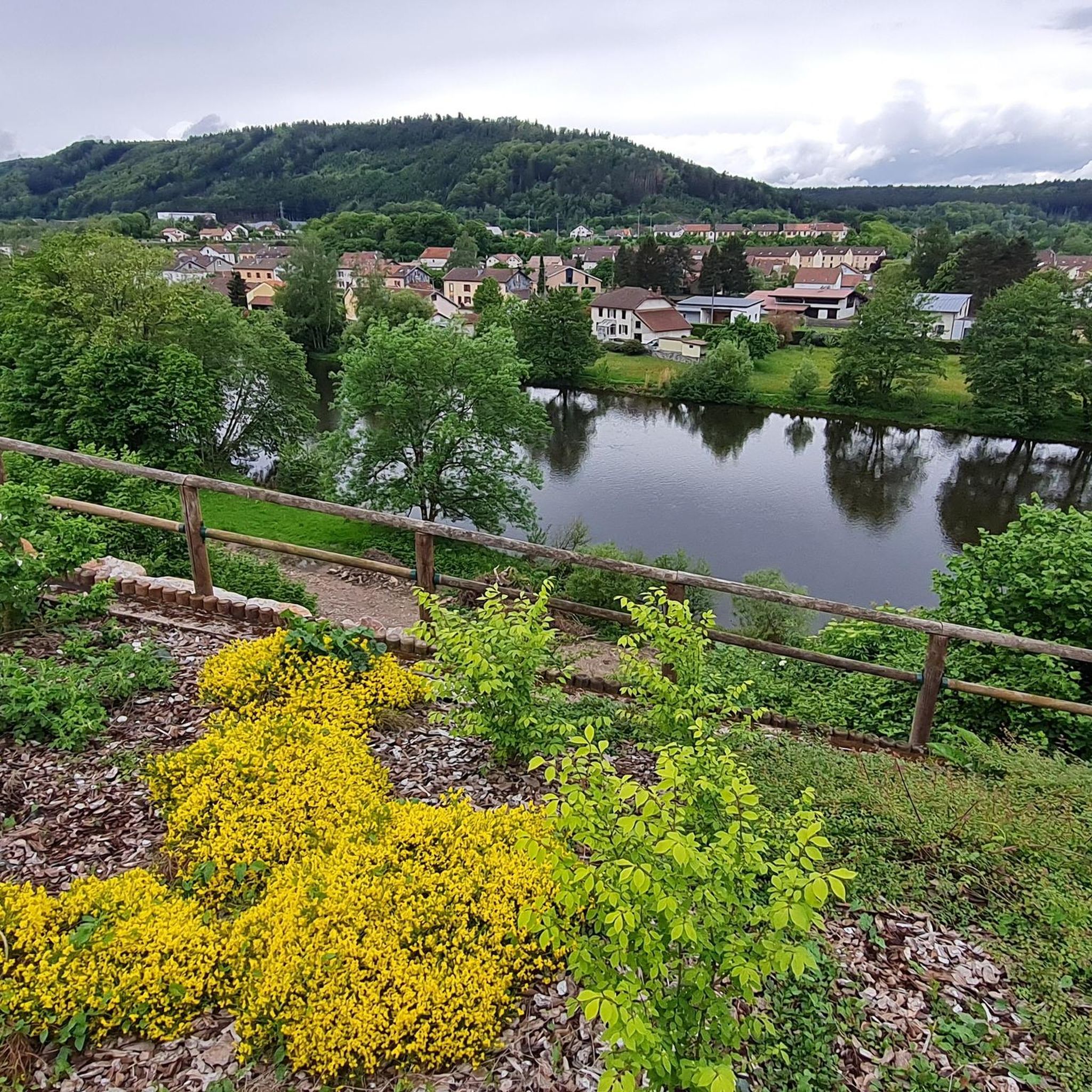
Hiking around Pouxeux is characterized by rolling hills and extensive forested areas. The landscape features moderate elevation changes, with many trails following natural contours, often connecting local points of interest and providing scenic views of the surrounding countryside and river valleys.
Are there easy hiking trails suitable for beginners or families in Pouxeux?
Yes, Pouxeux offers a good selection of easy trails. With 116 easy routes, you'll find paths suitable for beginners or families. An example is the Hiking loop from La Croix Bouquot, which is 4.0 miles (6.5 km) and generally takes under two hours to complete on accessible paths.
Are there any circular hiking routes around Pouxeux?
Many of the trails in Pouxeux are designed as circular routes, allowing you to start and end at the same point without retracing your steps. For instance, the Hiking loop from Éloyes is a moderate 9.2-mile (14.9 km) circular path with varied terrain and scenic views.
What are some notable natural attractions or viewpoints to see while hiking in Pouxeux?
The region around Pouxeux boasts several natural attractions. You can discover the impressive Great Tendon Waterfall or the smaller Little Waterfall of Tendon. For panoramic views, consider visiting the View from La Brostille (862 m). There are also unique geological features like the Sandstone boulders at Les Archettes.
Are there any hiking routes that pass by places to eat or drink?
Yes, some routes are designed to include stops at local establishments. For example, the Pouxeux train station – Nice restaurant loop from Pouxeux is a moderate 8.5-mile (13.7 km) hike that incorporates a restaurant stop, perfect for a break and a meal.
What do other hikers enjoy the most about hiking in Pouxeux?
The komoot community highly rates the hiking experience in Pouxeux, with an average score of 4.4 stars from over 1,600 reviews. Hikers often praise the varied terrain, the peaceful forest paths, and the well-maintained network of trails suitable for different ability levels.
Are there any longer, more challenging hikes around Pouxeux?
For those seeking a longer challenge, Pouxeux offers several options. The Pouxeux train station – Church of Saints Gorgon and Nabord loop from Pouxeux is a more difficult 11.6-mile (18.7 km) trail that takes approximately 5 hours and 15 minutes to complete, leading through local villages and natural surroundings.
What is the typical duration of hikes in Pouxeux?
Hikes in Pouxeux vary significantly in duration. You can find shorter walks like the Town Hall of Archettes loop from Arches, which is about 3.2 miles (5.1 km) and takes less than two hours. Longer routes can extend to over 11 miles (18 km) and require more than five hours to complete.
Is it possible to hike in Pouxeux during winter?
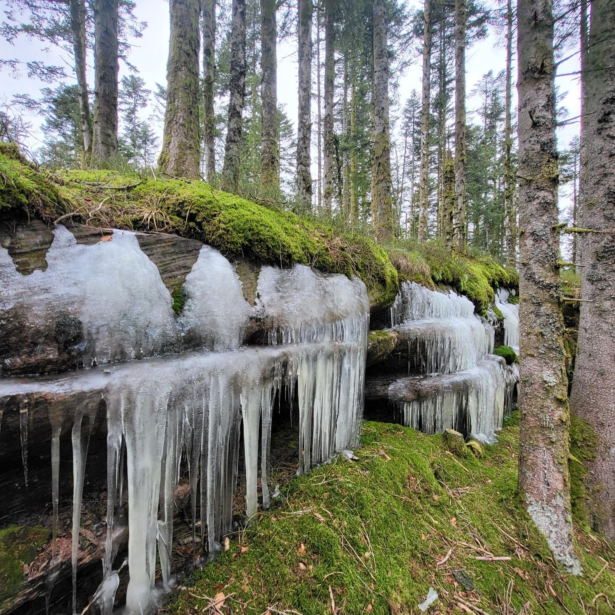
While the region is beautiful year-round, winter hiking in Pouxeux can present different conditions, including potential snow or ice. It's advisable to check local weather forecasts and trail conditions before heading out and to wear appropriate gear for colder temperatures and slippery surfaces.
Are there any specific trails known for good viewpoints?
Yes, for excellent views, consider trails that lead towards higher elevations. The View from La Brostille (862 m) is a highly recommended highlight that offers expansive vistas of the surrounding landscape, often incorporated into longer hiking routes.
Most popular attractions around Pouxeux

Get inspired with the komoot mobile app


Explore more
Browse the best Hikes in other regions.
