The best walks and hikes around Mitzach
4.6
(7075)
37,408
hikers
10
hikes
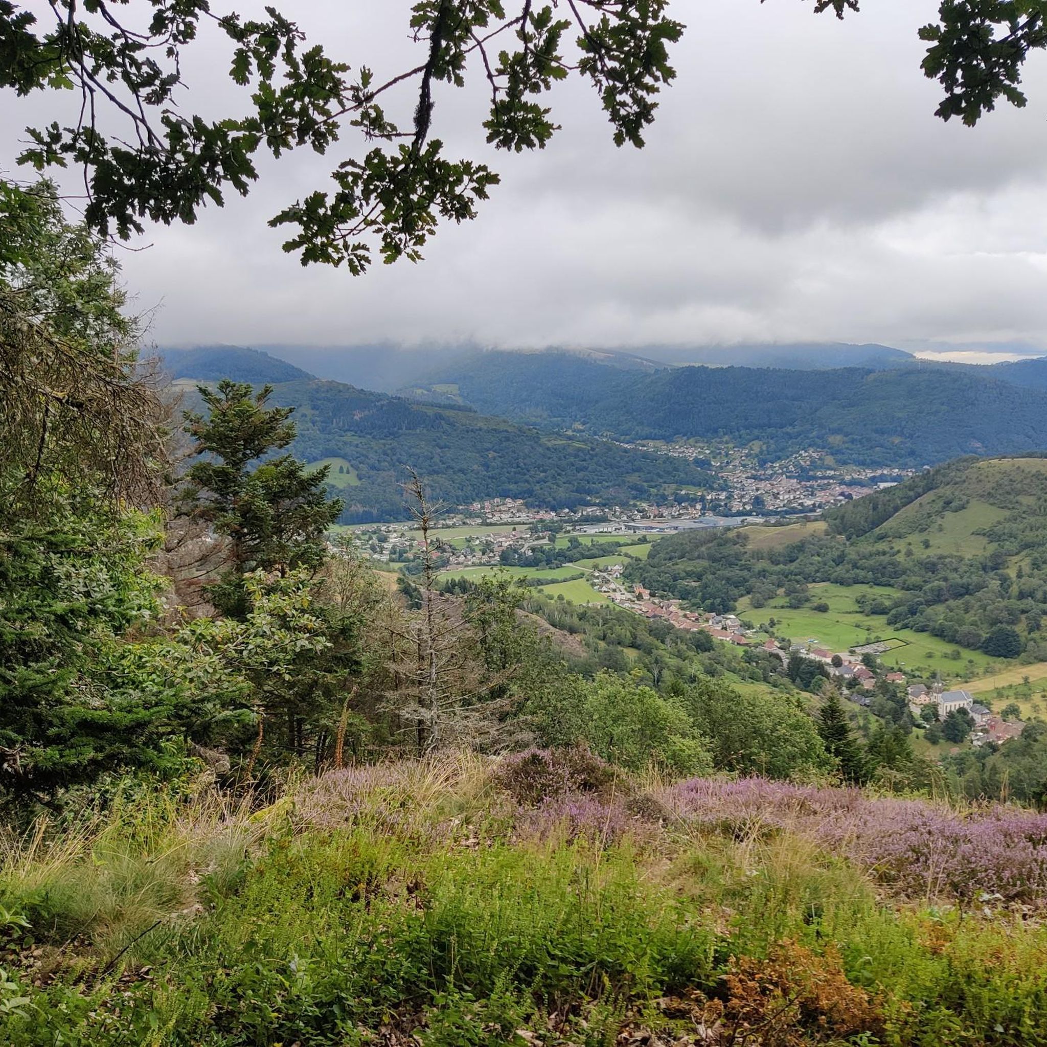
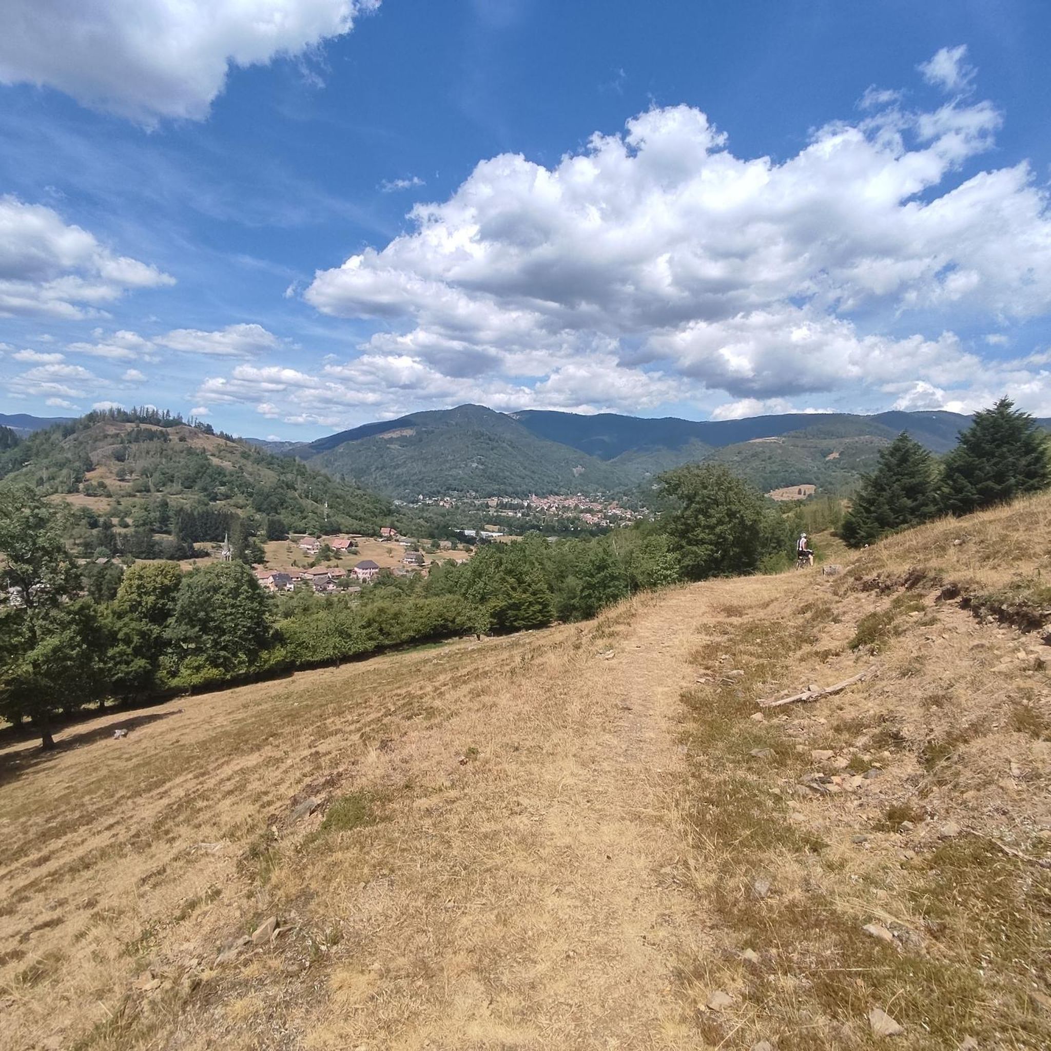
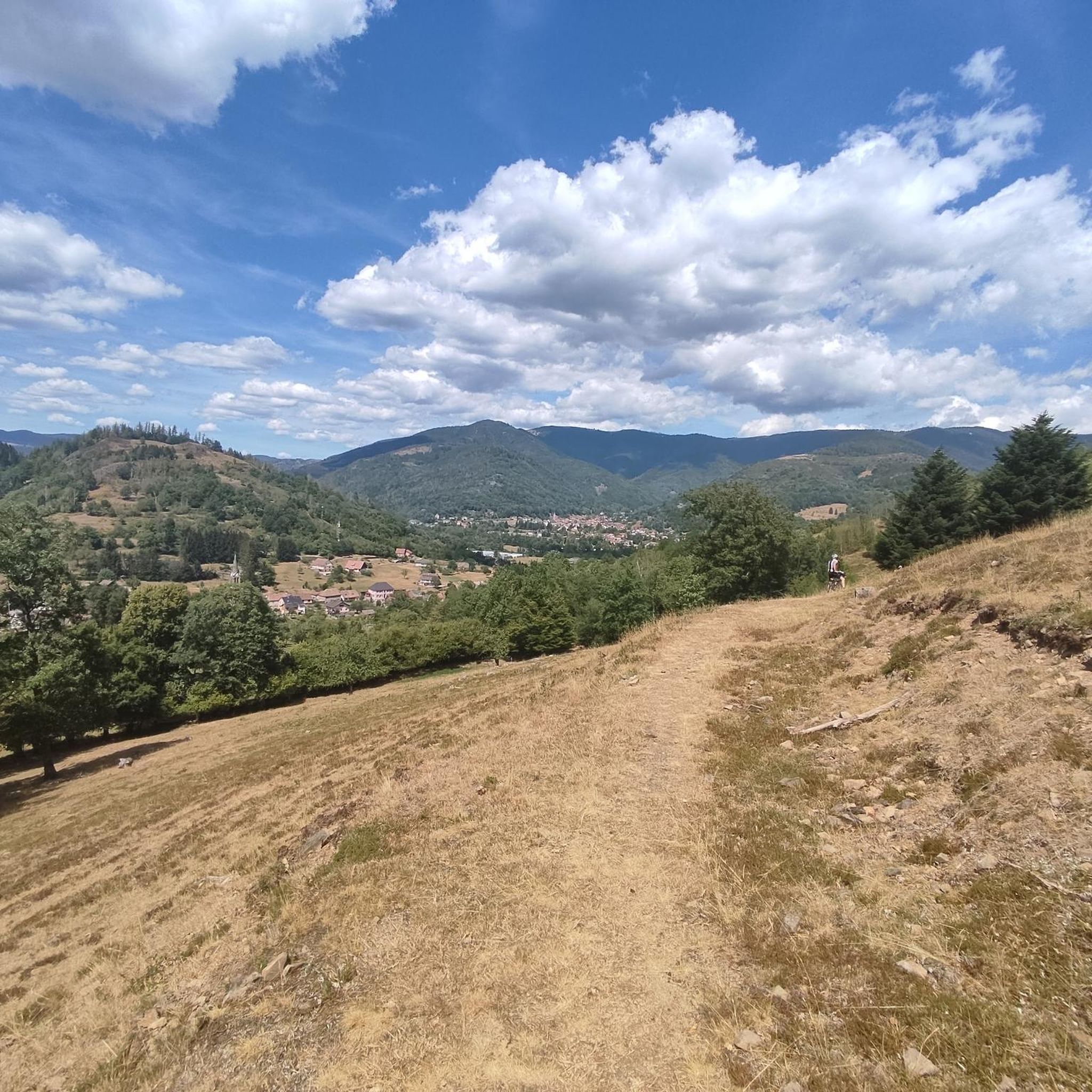
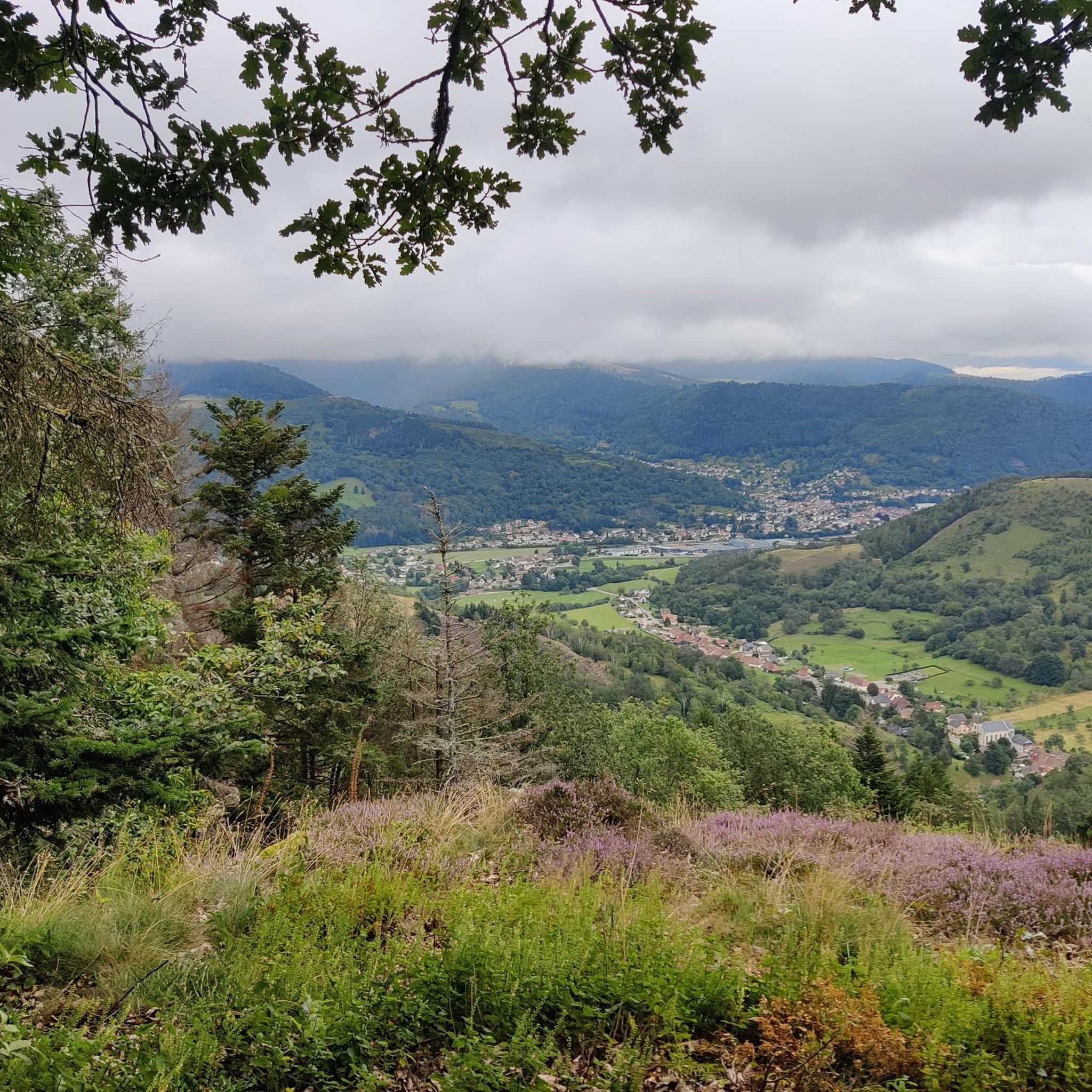
Hiking around Mitzach offers access to the diverse landscapes of the Vosges mountains in the Haut-Rhin department of France. The region features a blend of dense forests, verdant valleys, and expansive clearings. Notable natural features include the Grand Ballon, the highest peak in the Vosges, and Vogelstein (Bird Rock). The area is part of the Ballons des Vosges Regional Nature Park.
Best hiking trails around Mitzach
- The most popular hiking route is Vogelstein (Bird Rock) – Perches Pass loop from Réserve naturelle de la forêt des volcans de Wegscheid, a 13.6 miles (21.9 km) trail that takes 7 hours 43 minutes to complete. This difficult route includes the prominent Vogelstein (Bird Rock) landmark.
- Another top favourite among local hikers is View of the Grand Ballon – Grand Ballon loop from Saint-Amarin, a difficult 13.5 miles (21.7 km) path. This route offers ascents to the Grand Ballon, providing panoramic views of the Alsace plain and the Vosges mountain range.
- Local hikers also love the Trail M to Mitzach – Milzach Decorative Garden loop from Saint-Amarin, a 6.9 miles (11.1 km) trail leading through varied terrain, often completed in about 3 hours 20 minutes.
- Hiking around Mitzach is defined by the Vosges mountains, dense forests, and high-altitude viewpoints like the Grand Ballon. The extensive network offers options for various ability levels, from easy strolls to strenuous climbs.
- The routes in Mitzach are highly rated by the komoot community with an average score of 4.6 stars from more than 6,500 reviews. More than 36,000 hikers have used komoot to explore Mitzach's varied terrain.
Last updated: September 30, 2026
4.6
(12)
59
hikers
9.47km
02:55
340m
340m
Moderate hike. Good fitness required. Easily-accessible paths. Suitable for all skill levels.
4.8
(4)
23
hikers
17.1km
05:33
730m
730m
Hard hike. Very good fitness required. Mostly accessible paths. Sure-footedness required.

4.0
(1)
9
hikers
9.60km
02:55
320m
320m
Moderate hike. Good fitness required. Easily-accessible paths. Suitable for all skill levels.
5.0
(2)
6
hikers
7.00km
02:15
300m
300m
Moderate hike. Good fitness required. Easily-accessible paths. Suitable for all skill levels.
5.0
(2)
8
hikers
10.2km
03:15
410m
420m
Moderate hike. Good fitness required. Easily-accessible paths. Suitable for all skill levels.
Get access to more routes and recommendations from other explorers.
Already have an account?
Our route recommendations are based on thousands of hikes, rides, and runs completed by other people on komoot.
Start today with a free account
Your next adventure awaits.

Tips from the Community

There is a bench at this spot.
0
0

The bench was placed by volunteers on July 15, 2025.
0
0

Beautiful hike and beautiful viewpoint
1
0
Beautifully decorated shelter.
1
0
"Our Lady of the Three Boundaries", and the remarkable bench made and installed in June 2016 by volunteers from the 3 municipalities of Malmerspach, Mitzach and Moosch (the 3 Ms).
0
0

Frequently Asked Questions
How many hiking trails are available around Mitzach?
Mitzach and its surroundings offer a vast network of hiking trails. There are over 700 routes available, catering to all skill levels, from easy strolls to challenging mountain ascents.
What types of hiking difficulties can I expect in Mitzach?
The Mitzach area provides a wide range of hiking difficulties. You'll find over 200 easy trails, more than 300 moderate routes, and nearly 200 difficult hikes, ensuring options for every fitness level.
What do other hikers say about the trails around Mitzach?
The hiking trails around Mitzach are highly regarded by the komoot community, boasting an average rating of 4.6 stars from over 6,500 reviews. Hikers frequently praise the diverse landscapes, well-maintained paths, and stunning viewpoints.
Are there any easy, family-friendly hiking options near Mitzach?
Yes, Mitzach offers several easy, family-friendly hikes. A pleasant option is the "Trail - circuit M Mitzach," a 10.32 km route with moderate elevation gain, suitable for a relaxed outing. Another delightful choice is the "Mitzach balconies" circuit, which winds through meadows and forests around the village. You can find more details on the Trail - circuit M Mitzach and Mitzach balconies routes.
Are there any circular hiking routes in the Mitzach area?
Many trails around Mitzach are designed as circular routes, allowing you to start and end in the same location. For a moderate circular hike, consider the Trail M to Mitzach – Milzach Decorative Garden loop from Saint-Amarin, which covers 11.1 km. For a more challenging loop, the Vogelstein (Bird Rock) – Perches Pass loop from Réserve naturelle de la forêt des volcans de Wegscheid is a difficult 21.9 km option.
What are some notable natural features or viewpoints to see on a hike?
The Mitzach region is rich in natural landmarks and viewpoints. You can hike to the Grand Ballon, the highest peak in the Vosges, for exceptional 360° panoramas. Another prominent feature is Vogelstein (Bird Rock), often included in popular hiking loops. The Stoerenburg hill also provides an admirable viewpoint over Saint-Amarin and the valley.
Are there any waterfalls to discover while hiking near Mitzach?
Yes, the area around Mitzach features several beautiful waterfalls. You can explore highlights such as the Sentier Michel Waterfall, Bubalafels Waterfall, and the Small and Large Seebach Waterfalls. The climb to the Drumont from the Tourbière du See also passes by waterfalls.
What other attractions can I explore near Mitzach besides hiking?
Beyond hiking, you can visit the Parc de Wesserling, an exceptional historical and natural site featuring remarkable gardens and industrial heritage. The region is also excellent for cycling and mountain biking, with routes including mythical passes like the Ballon d'Alsace. Additionally, explore picturesque nearby villages such as Masevaux and Sewen, or discover the historical Urbès Tunnel.
Are there any challenging hikes that offer panoramic views?
For experienced hikers seeking panoramic views, the View of the Grand Ballon – Grand Ballon loop from Saint-Amarin is an excellent choice. This difficult 21.7 km route offers ascents to the Grand Ballon, providing expansive views of the Alsace plain and the Vosges mountain range.
Can I find trails that include historical or cultural landmarks?
Yes, some trails incorporate historical elements. For instance, the climb to the Drumont from the Tourbière du See passes by the Saint-Nicolas Chapel. You can also find routes that lead through charming villages with traditional architecture, offering a blend of nature and heritage.
What is the best time of year for hiking in Mitzach?
The Mitzach region is generally excellent for hiking from spring through autumn, when the weather is mild and the trails are clear. Spring brings blooming flora, while autumn offers vibrant fall colors. Summer is also popular, though higher elevations can be cooler. Winter hiking is possible but requires appropriate gear and awareness of snow and ice conditions, especially at higher altitudes.
Most popular routes around Mitzach
Most popular attractions around Mitzach

Get inspired with the komoot mobile app


Explore more
Browse the best Hikes in other regions.
