The best walks and hikes in Ávila
4.6
(2890)
18,075
hikers
748
hikes
Hiking trails in Ávila offer access to diverse natural landscapes within Spain's Castile and León region. The area is characterized by the rugged granite massif of the Sierra de Gredos, featuring glacial erosion, high peaks, and serene lagoons. Lower elevations and valleys, such as the Valle de Iruelas and Tiétar Valley, present lush black pine forests, river systems, and varied ecosystems. This geographical diversity provides a wide range of hiking experiences, from challenging mountain ascents to gentler riverside paths.
Best hiking trails in Ávila
- The most popular hiking route is Ruta de los Pescadores (PRC-ASP-1) — circular desde Arenas de San Pedro, a 9.3 miles (15.0 km) trail that takes 4 hours 15 minutes to complete. This moderate route follows the Río Arenal, known for its natural pools.
- Another top favourite among local hikers is Laguna del Duque Trail, a moderate 3.2 miles (5.1 km) path. This trail offers views of forests and mountains within the Sierra de Gredos.
- Local hikers also love the Senda de los Pescadores Trail, a 7.3 miles (11.7 km) trail leading through riverine landscapes and natural pools, often completed in about 2 hours 42 minutes.
- Hiking in Ávila is defined by granite massifs, glacial lakes, and dense pine forests. The network offers options for different ability levels, from easy walks to difficult mountain ascents.
- The routes in Ávila are highly rated by the komoot community with an average score of 4.6 stars from over 900 reviews. More than 8000 hikers have used komoot to explore Ávila's varied terrain.
Last updated: September 26, 2026
4.6
(18)
76
hikers
15.0km
04:16
280m
280m
Moderate hike. Good fitness required. Mostly accessible paths. Sure-footedness required.
4.6
(32)
144
hikers
8.39km
02:36
180m
180m
Hike the moderate 5.2-mile circular route along the Río Arenal, passing natural pools like Charco Verde and the Puente del Pozo Quirol.

4.4
(10)
36
hikers
10.4km
03:16
250m
250m
Hike the moderate 6.5-mile Ascent to San Juan and Los Tientos circular route in Sierra de Guadarrama National Park, with views and forests.
4.7
(3)
10
hikers
11.7km
02:42
250m
250m
Hike the Senda de los Pescadores Trail, a moderate 7.3-mile route in Parque Regional de la Sierra de Gredos, offering riverside views.
4.4
(5)
29
hikers
5.08km
02:09
240m
240m
Hike the 3.2-mile Laguna del Duque Trail to discover the largest glacial lake in Sierra de Gredos, with forest and mountain views.
4.4
(9)
61
hikers
Hard hike. Very good fitness required. Sure-footedness, sturdy shoes and alpine experience required.
4.8
(14)
41
hikers
Moderate hike. Good fitness required. Easily-accessible paths. Suitable for all skill levels.
4.0
(7)
15
hikers
4.88km
01:19
70m
60m
Easy hike. Great for any fitness level. Easily-accessible paths. Suitable for all skill levels.
4.1
(23)
41
hikers
5.80km
01:35
90m
90m
Enjoy an easy 3.6-mile hike around the Embalse del río Cuevas from Arenas de San Pedro, with views of Sierra de Gredos.
12
hikers
27.0km
10:52
1,280m
1,280m
Hard hike. Very good fitness required. Sure-footedness, sturdy shoes and alpine experience required.
Get access to more routes and recommendations from other explorers.
Already have an account?
Our route recommendations are based on thousands of hikes, rides, and runs completed by other people on komoot.
Start today with a free account
Your next adventure awaits.
Popular around Ávila
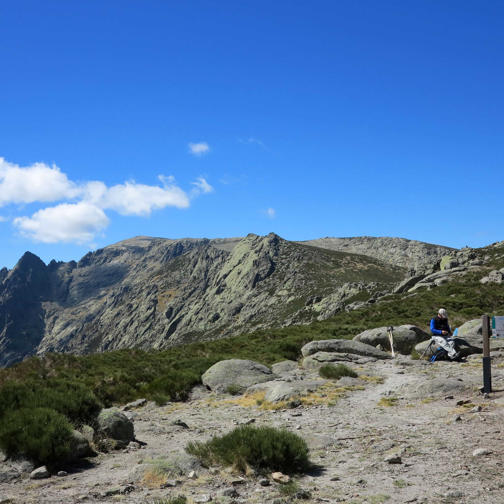
Hiking around Valle Del Tietar
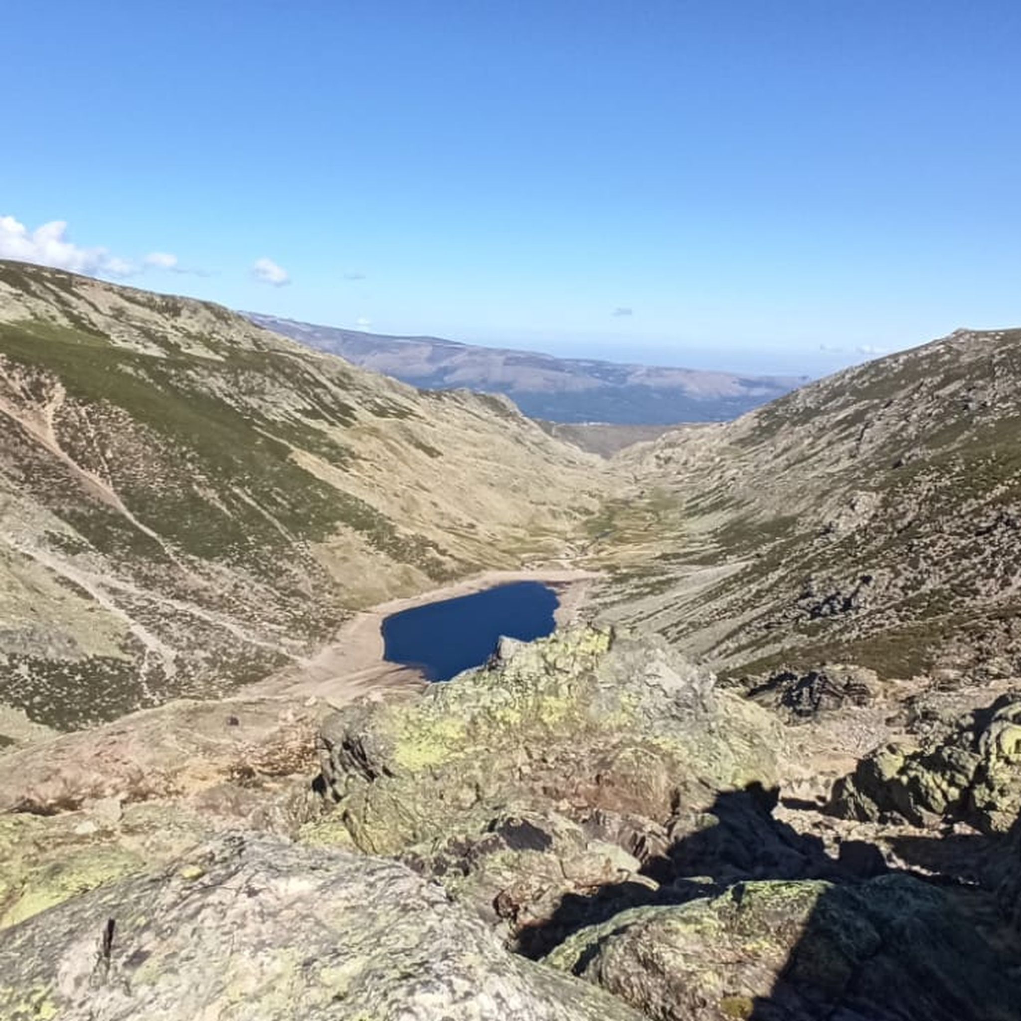
Hiking around Barco Avila-Piedrahita
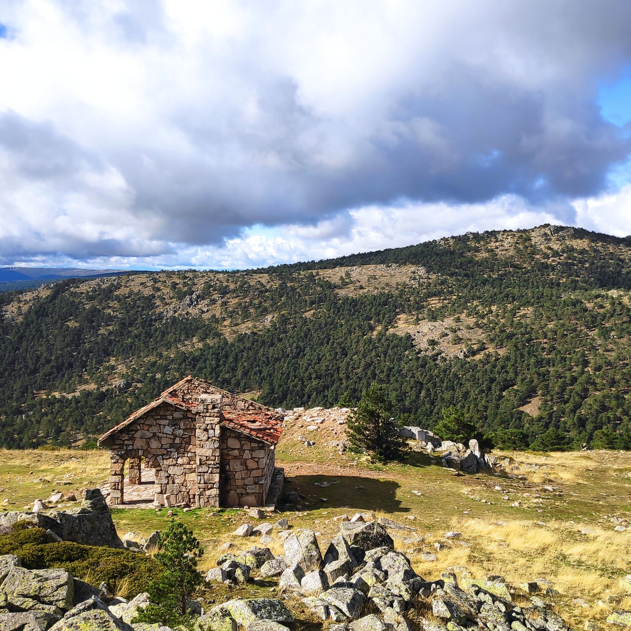
Hiking around Valle Bajo Alberche
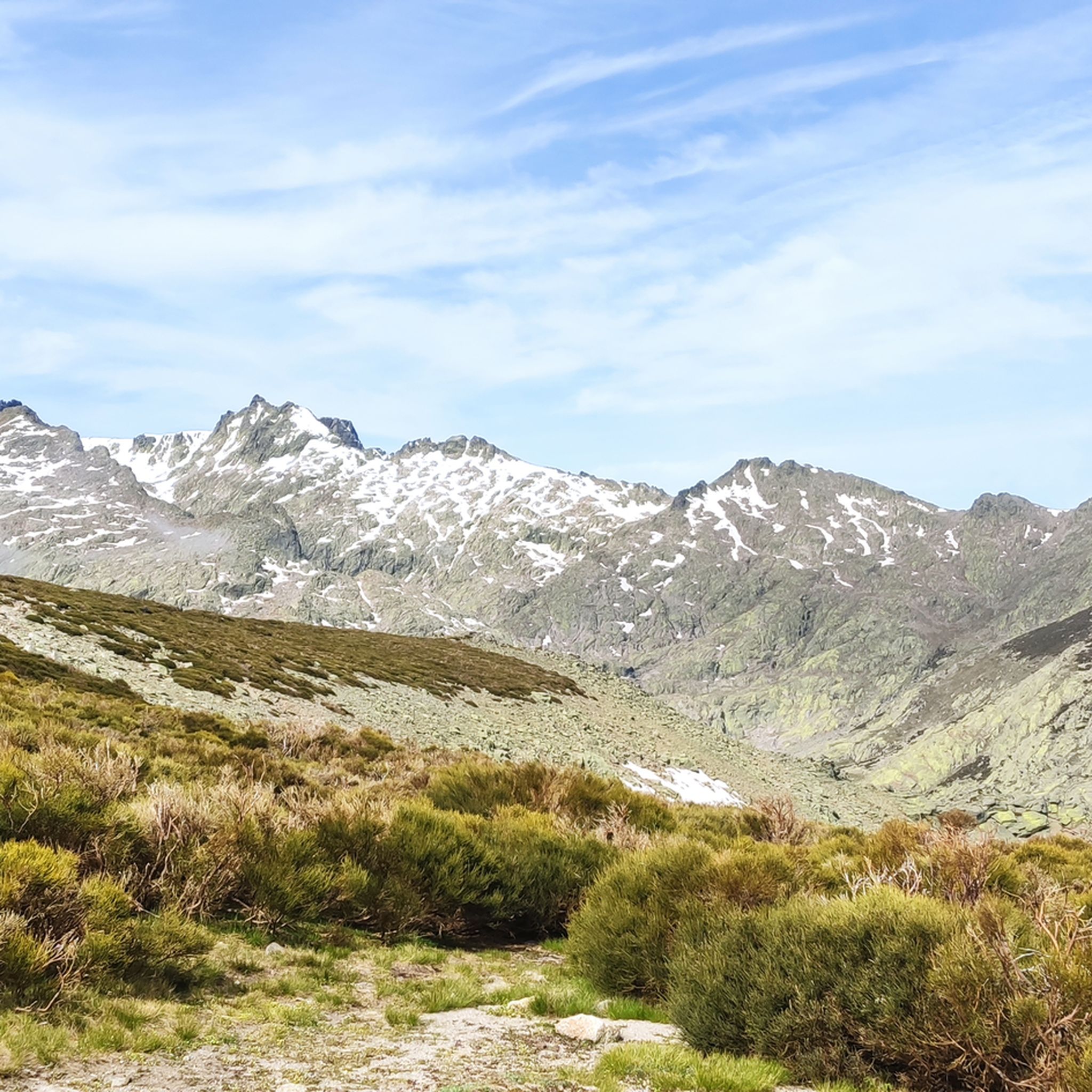
Hiking around Gredos
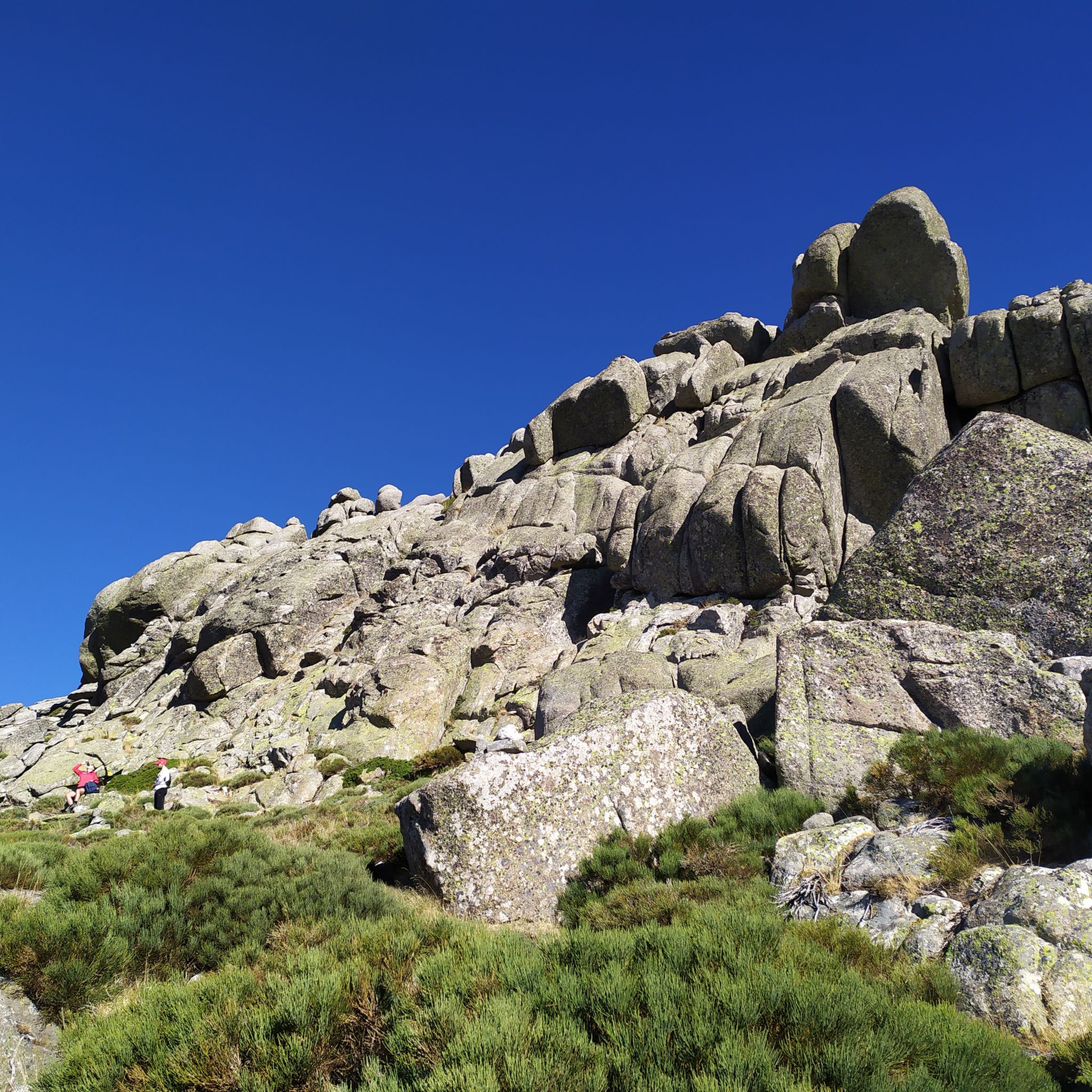
Hiking around Avila
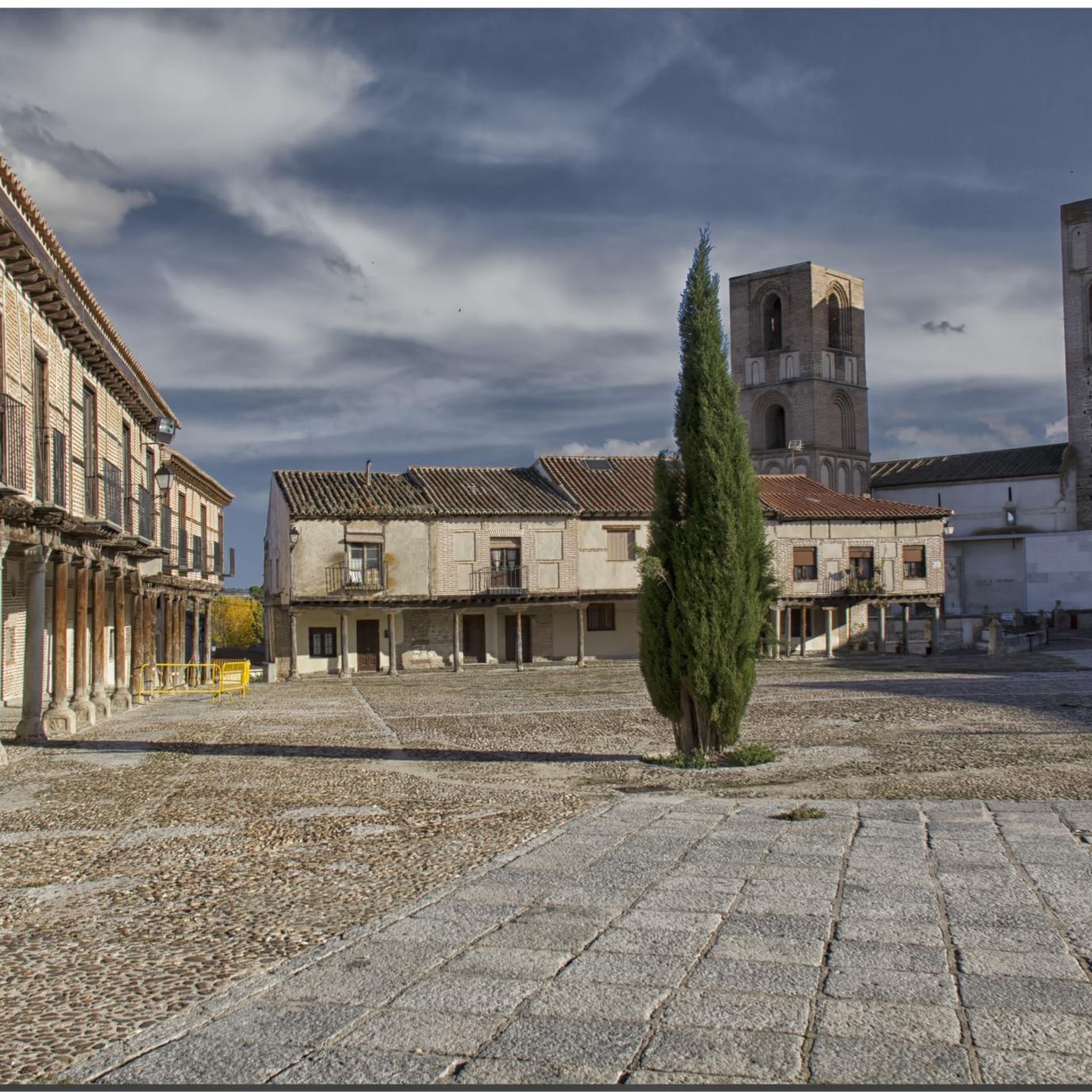
Hiking around Arevalo-Madrigal
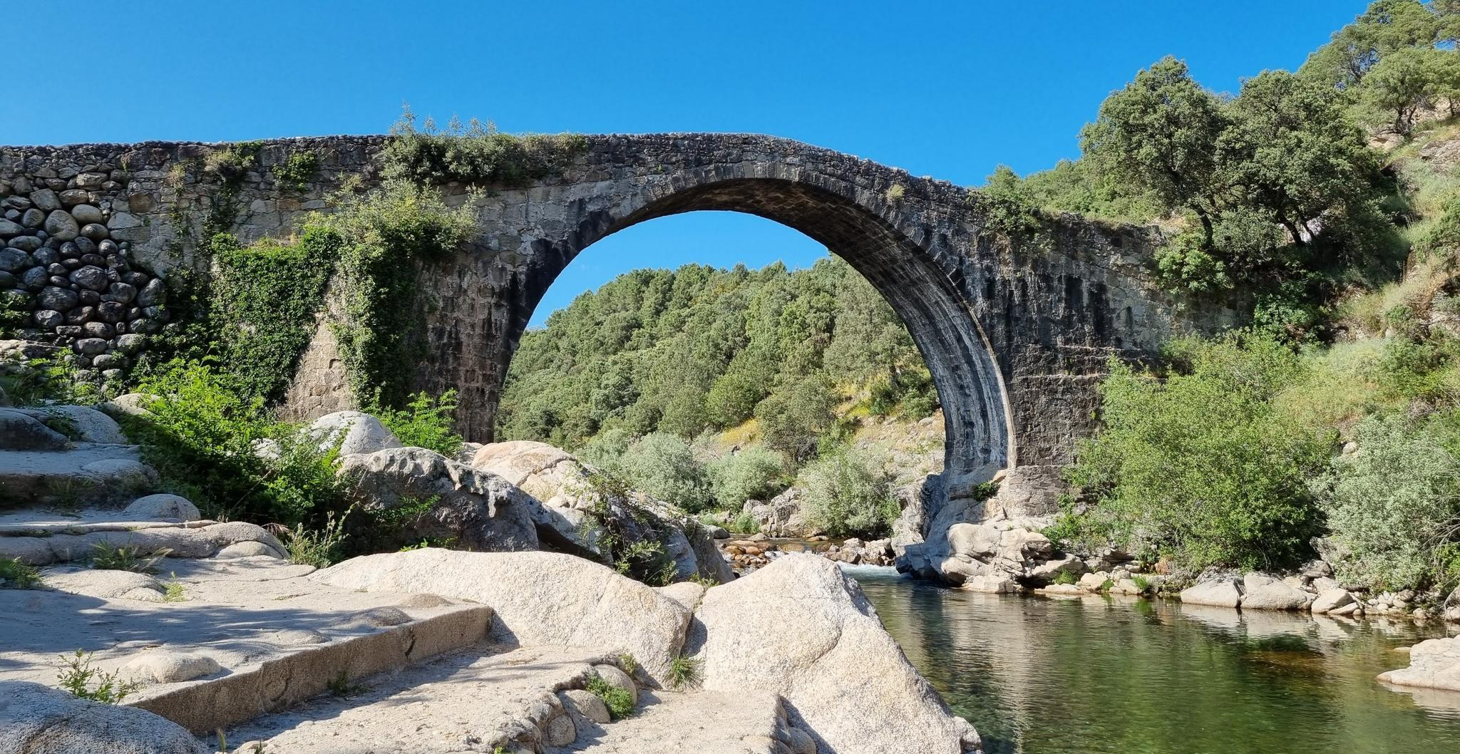
Monumental and Natural History — The Way of La Vera GR-111
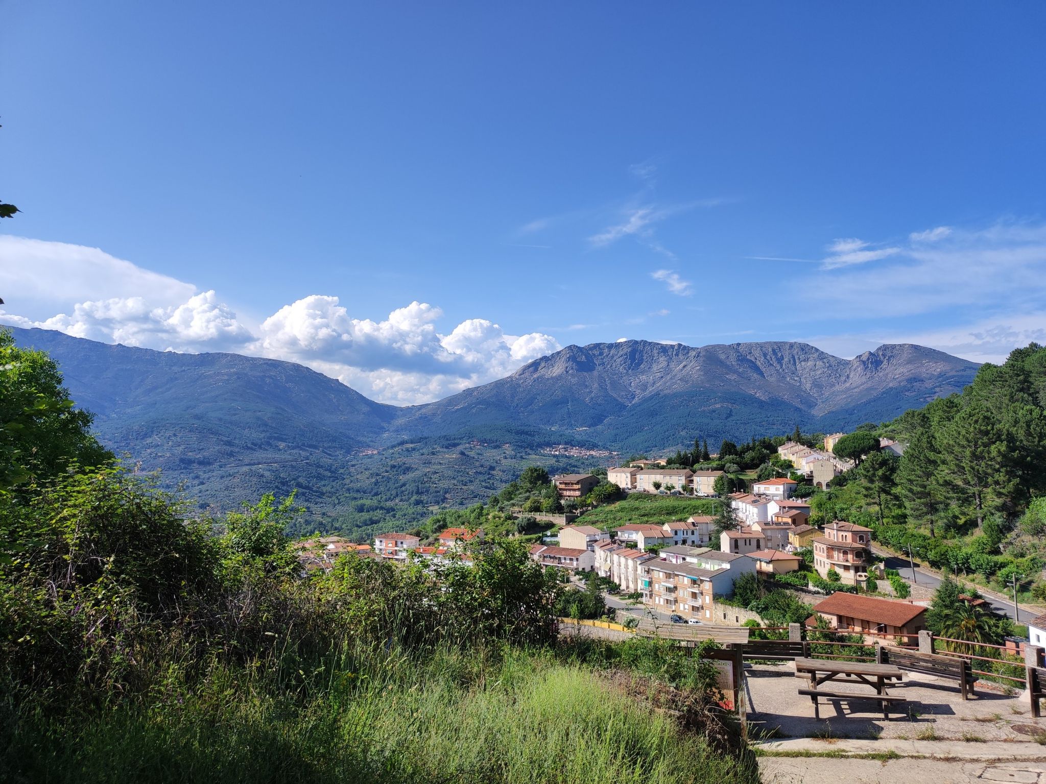
An epic hike in Spain’s Tiétar Valley – Valle del Tiétar (GR 180)

The treasures of Guadarrama – on foot along the GR 10 in Madrid
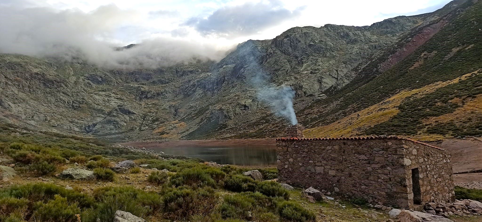
Between lagoons and goat paths – hike in Spain’s Gredos Mountains
Other adventures in Ávila


Tips from the Community

The route is a bit tough at the beginning due to the ascent to Pico de Abantos, which has an elevation of 1730 m, but the sacrifice is worth it because the views from the geodesic vertex are spectacular, really beautiful. A luxury of a landscape. And it runs almost all the time under shade, which is appreciated on the dates I did it 30-8-2026.
0
0

The Pelayos River, in Arenas de San Pedro (Ávila), is a popular spot for hiking and swimming in the summer, located in the Tiétar Valley on the southern slopes of the Sierra de Gredos mountain range. It's a river with clear water that forms natural pools ideal for swimming, such as the Charco Verde (Green Pool), a popular spot in the summer. The Pelayos River recreation area has a kiosk, picnic area, and parking, making it a perfect starting point for hiking trails.
8
0
This village is located in the Sierra de Gredos mountains (Ávila) and is famous for its natural surroundings, the Castle of Constable Dávalos, the Mosquera Palace, and the Eagle Caves. It is also ideal for hiking and rural tourism.
7
0

The views are spectacular; it's worth stopping by and visiting this sculptural and architectural gem of our country.
0
0
Monumental funerary complex designed in 1940 by Pedro Muguruza and Diego Méndez. Its impressive sculptures were designed by Juan de Ábalos y Taborda. The cross, located on the Risco de la Nava, is 150 meters high with arms measuring 24 meters each. It is the tallest cross in Christendom.
1
0

The Tormes River is a tributary of the Duero on its left bank, it runs through the Community of Castilla y León, crossing the provinces of Ávila, Salamanca and Zamora. The Tormes rises in the Tormejón meadow, in the Gredos mountain range. It feeds several reservoirs, the Santa Teresa and Villagonzalo reservoirs, the San Fernando reservoir and, close to its mouth in the Duero, the Almendra reservoir, where, sandwiched between rock walls, it forms the so-called arribes del Tormes.
1
0

The largest oak forest in the town of Candelada. There is a signposted route (R1: La Tijera) that allows you to enter this beautiful place. There is no fountain during the tour, so you have to stock up on water in Candelada. The route is not difficult at all, it can be done perfectly with the whole family, all year round, although I recommend doing it in spring or autumn.
1
0
The Aquelcabos Bridge is commonly called a Roman bridge (since it was built on a previous, presumably Roman, bridge). It is the oldest bridge in Arenas de San Pedro. It is expected that it was built in the 11th century, so it is of medieval origin. It was widely used by travelers and nomadic shepherds, paying in advance for the portage or ferry. It consists of three arches, the central one being the largest of all. Its pavement has been restored with paving imitating the original. On both sides there is a stone parapet one meter high and several parts of its layout have been repaired with cement.
10
0
Frequently Asked Questions
How many hiking trails are available in Ávila?
There are over 600 hiking trails in Ávila, offering a wide range of experiences from easy walks to challenging mountain ascents. The komoot community has explored more than 8,000 routes in the region.
What kind of natural features can I expect to see on hikes in Ávila?
Ávila's hiking trails showcase diverse natural features. You'll find the rugged granite massifs and glacial lakes of the Sierra de Gredos, including the prominent Pico Almanzor and the serene Laguna Grande. The Valle de Iruelas Natural Reserve features lush black pine forests and is home to impressive birdlife. The Tiétar Valley offers riverine landscapes, ancient Roman roads, and natural pools like the Charco Verde. Many routes also feature gorges, waterfalls, and diverse ecosystems.
Are there any family-friendly hiking trails in Ávila?
Yes, Ávila offers several family-friendly options. While some trails in the high Sierra de Gredos can be challenging, many routes in the valleys and lower altitudes are suitable for families. For example, the Laguna del Duque Trail is a moderate 3.2-mile path with forest and mountain views, which can be a good option for active families.
Can I hike with my dog in Ávila?
Many areas in Ávila, especially within the Sierra de Gredos Regional Park and Valle de Iruelas Natural Reserve, are dog-friendly. However, it's crucial to keep dogs on a leash to protect local wildlife, particularly the Iberian ibex and various bird species. Always check specific trail regulations before you go, especially concerning protected areas.
What are some notable landmarks or viewpoints to discover while hiking in Ávila?
Beyond the natural beauty, hikers can explore several significant landmarks. Within the city, the Ávila City Walls offer unique walking experiences and panoramic views. Outside the city, the Road through the Iruelas Valley provides access to stunning gorges and the Valle de Iruelas Natural Reserve. The Puerto de Casillas serves as an entrance to the reserve, offering scenic vistas.
Are there circular hiking routes in Ávila?
Yes, Ávila has many circular hiking routes. A popular example is the Ruta de los Pescadores (PRC-ASP-1), a 9.3-mile loop that follows the Río Arenal. Another option is the San Juan and Los Tientos Circular Trail, offering a moderate 6.5-mile loop.
What is the best time of year to go hiking in Ávila?
The best time for hiking in Ávila largely depends on the specific area and desired difficulty. Spring (April-June) and autumn (September-November) generally offer pleasant temperatures and vibrant landscapes, ideal for most trails. Summer can be very hot, especially in the valleys, but higher altitudes in the Sierra de Gredos provide cooler conditions. Winter hiking is possible, particularly at lower elevations, but requires appropriate gear for snow and ice in the mountains.
Are there any hikes with natural pools or swimming spots?
Yes, the river systems in Ávila offer opportunities for natural pools. The Río Arenal, explored by routes like the Senda de los Pescadores Trail, is known for its natural pools. In the Tiétar Valley, the Pelayos River near Arenas de San Pedro features the popular Charco Verde (Green Pool), a great spot for hiking and swimming.
How can I access trailheads in Ávila using public transport?
Public transport options to trailheads can vary. For the Sierra de Gredos, the Plataforma de Gredos is a common starting point, and there are bus services from Ávila to towns like Hoyos del Espino, which can serve as access points. For other areas like the Tiétar Valley, buses connect Ávila to towns such as Candeleda. It's advisable to check local bus schedules in advance for specific routes and destinations.
Do I need permits for hiking in the Sierra de Gredos Regional Park?
Generally, permits are not required for day hiking on established trails within the Sierra de Gredos Regional Park. However, certain activities like overnight stays, climbing in specific zones, or large group events might require prior authorization. Always check the official regulations of the park before planning your trip, especially for high-altitude or sensitive areas.
What do other hikers say about the trails in Ávila?
The hiking trails in Ávila are highly rated by the komoot community, with an average score of 4.6 stars from over 900 reviews. Reviewers often praise the diverse landscapes, from the rugged beauty of the Sierra de Gredos to the lush valleys, and the well-maintained paths that cater to various skill levels.
Are there any easy hiking routes suitable for beginners in Ávila?
Yes, Ávila offers numerous easy hiking routes perfect for beginners. While the region is known for its challenging mountain terrain, there are 166 easy trails available. These often follow riverbanks or traverse gentler terrain in the valleys, providing a pleasant introduction to the area's natural beauty without significant elevation gain.
Most popular routes in Ávila
Most popular attractions in Ávila

Get inspired with the komoot mobile app


Didn’t find what you were looking for?
Check out more Hikes throughout Ávila below and find the perfect route in your destination.
Explore more
Browse the best Hikes in other regions.
