The best MTB trails around Ranspach
4.5
(482)
3,462
riders
192
rides
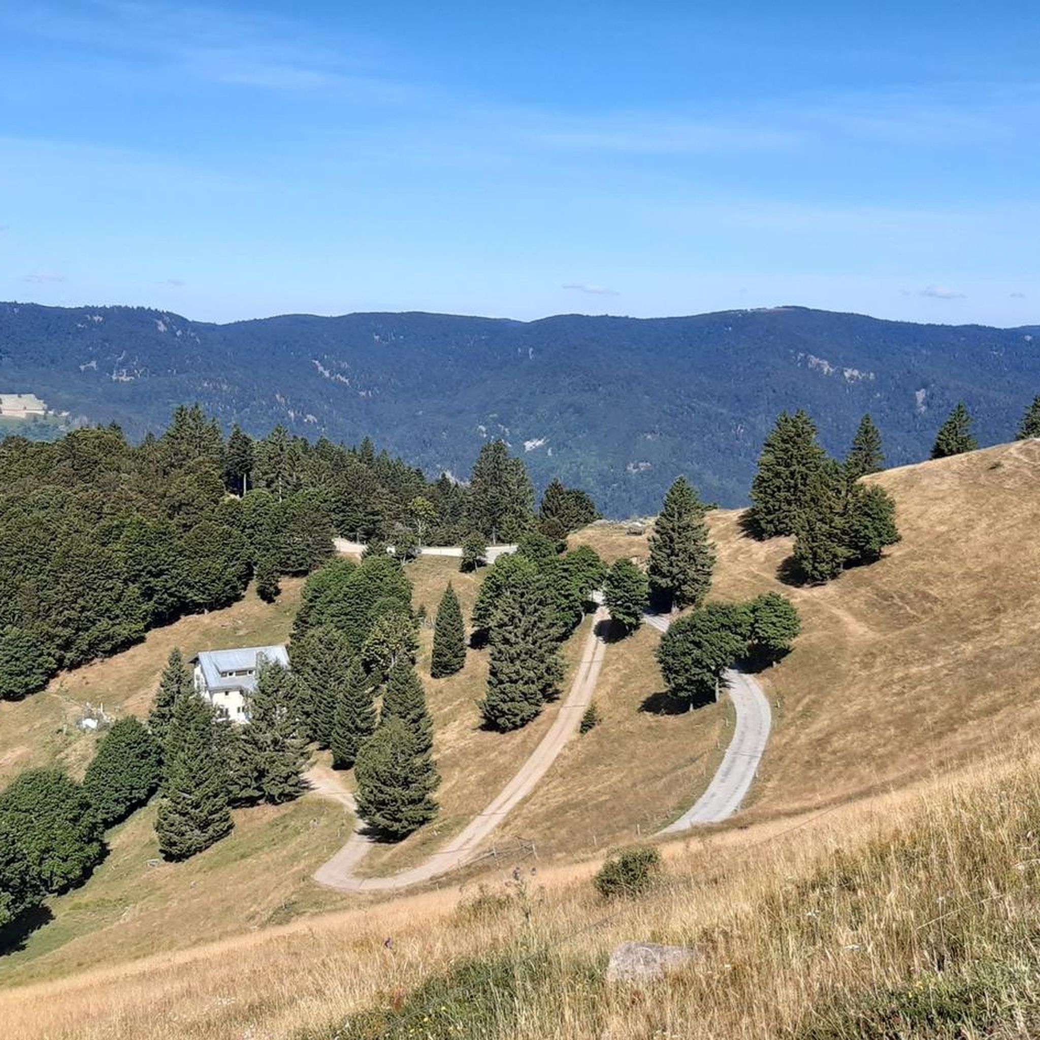
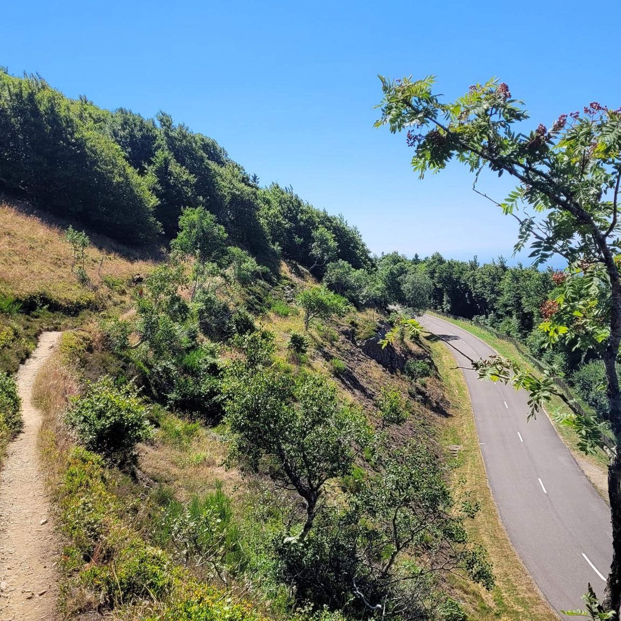
Mountain biking around Ranspach is characterized by its mountainous terrain, featuring significant elevation changes, dense forests, and panoramic views from various summits and passes. The region offers a network of trails that traverse the Vosges mountains, providing diverse riding experiences. Riders can expect challenging climbs and descents, often leading to high-altitude viewpoints. The landscape is shaped by its natural contours, making it suitable for mountain biking.
Best mountain bike trails around Ranspach
- The most popular mountain bike trail is Rimbach…
Last updated: October 8, 2026
4.7
(3)
37
riders
33.6km
03:41
1,140m
1,140m
Hard mountain bike ride. Very good fitness required. Advanced riding skills necessary. Some portions of the route may require you to push your bike.
4.3
(3)
37
riders
62.3km
05:53
1,640m
1,640m
Hard mountain bike ride. Very good fitness required. Advanced riding skills necessary. Some portions of the route may require you to push your bike.

5.0
(1)
18
riders
40.8km
04:54
1,410m
1,410m
Hard mountain bike ride. Very good fitness required. Advanced riding skills necessary. Some portions of the route may require you to push your bike.
4.0
(1)
37
riders
18.1km
01:54
600m
600m
Moderate mountain bike ride. Good fitness required. Advanced riding skills necessary.
4.8
(4)
25
riders
16.6km
01:30
390m
390m
Moderate mountain bike ride. Good fitness required. Suitable for all skill levels.
Get access to more routes and recommendations from other explorers.
Already have an account?
Our route recommendations are based on thousands of hikes, rides, and runs completed by other people on komoot.
Start today with a free account
Your next adventure awaits.

Tips from the Community

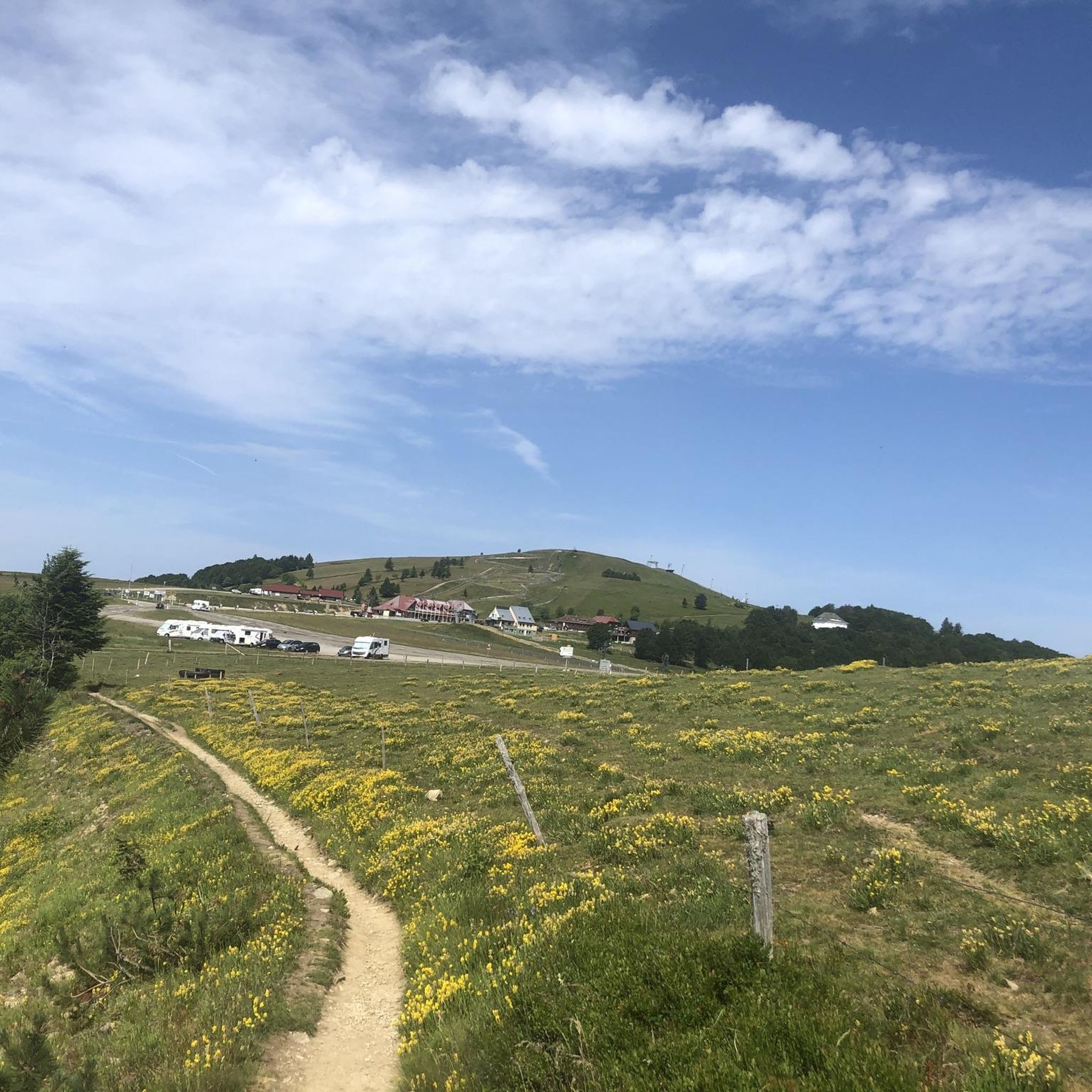
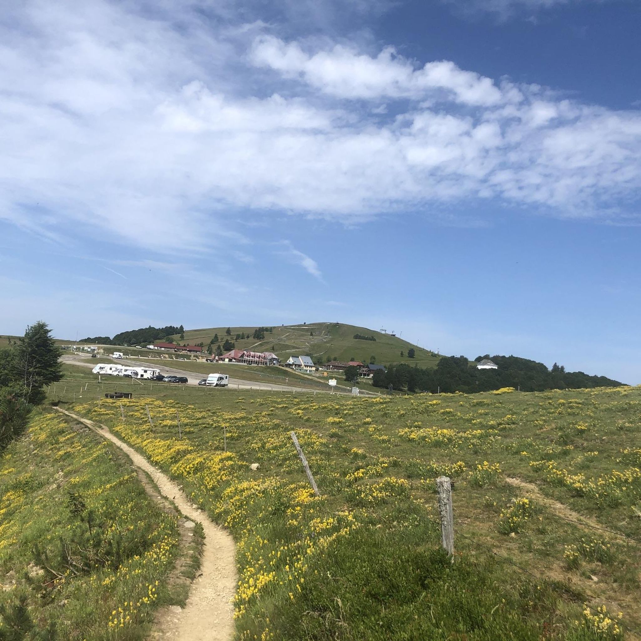
Le Grand Ballon (1325 m) forms the highest point of the Vosges mountains and is one of the most famous destinations for cyclists in the mountain range. Although the summit itself is slightly higher (1424 m), the mountain pass is located at an altitude of approximately 1325 meters on the side of the Route des Crêtes. From here, vast panoramas open up over the Vosges, the Alsace plain, and on clear days even as far as the Black Forest and the Alps. For cyclists, Le Grand Ballon is a legendary climb. Long and often challenging ascents lead from the various valleys to this iconic mountain. The final kilometers above the tree line offer an impressive scenery of mountain meadows, rocky outcrops, and expansive vistas.
2
0
The Cascade du Bockloch is an atmospheric waterfall in Alsace (Haut-Rhin department), located on the wooded northeastern bank (right bank) of the Kruth-Wildenstein Lake. The waterfall is fed by the Hinterbockloch mountain stream, which originates on the slopes of the nearby Grand Ventron massif. Water plunges here via an abrupt, steep rock face about 12 meters down into a small, photogenic basin, just before it flows into the reservoir.
4
0

A small descent to the Auberge de Drumont is worth it.
2
0

Should be climbed sometime
2
0

At the summit, the circular orientation table was erected in 1891 by the French Alpine Club.
2
0

This is an amazing wild camping spot. I am sorry it didn't work for my trail but it is almost worth doing ti again just to sleep here...
0
0

Frequently Asked Questions
What are the typical difficulty levels of mountain bike trails around Ranspach?
The mountain bike trails around Ranspach cater to a range of abilities, though the region is characterized by significant elevation changes. There are over 18 easy routes, 90 moderate routes, and 87 difficult routes available, offering options from gentle endurance loops to challenging high-mountain ascents and descents.
Are there family-friendly mountain bike trails in Ranspach?
Yes, Ranspach offers over 18 easy mountain bike routes that can be suitable for families. While the region is mountainous, these trails typically feature less demanding climbs and more manageable distances. Always check the specific route details on komoot to ensure it matches your family's skill level and endurance.
When is the best time of year to go mountain biking in Ranspach?
The best time for mountain biking in Ranspach, located in the Vosges mountains, is generally from late spring (May) through early autumn (October). During these months, the weather is typically milder, and trails are free of snow and ice, offering the most favorable conditions for riding. Always check local weather forecasts before heading out.
What kind of terrain can I expect on the mountain bike trails in Ranspach?
You can expect a diverse and challenging terrain in Ranspach. Trails often feature significant elevation changes, traversing dense forests, mountain passes, and leading to panoramic viewpoints. The routes range from technical singletrack to wider forest paths, shaped by the natural contours of the Vosges mountains.
Are there any circular mountain bike routes in Ranspach?
Yes, many of the mountain bike routes in Ranspach are designed as loops, allowing you to start and finish in the same location. Examples include the difficult Rimbach Pass (940 m) – Braco Line loop from Wesserling and the moderate Grand Ballon – Grand Ballon loop from Le Markstein.
What are some notable viewpoints or landmarks along the mountain bike trails?
The trails often lead to high-altitude viewpoints offering extensive views of the Vosges mountains. For historical interest, you might encounter sites like the Adlerhorst Command Post – World War I or the Veilchenstein German WW1 Bunker. The region also features natural attractions such as the Bockloch Waterfall.
What do other mountain bikers enjoy most about the trails in Ranspach?
The mountain bike trails in Ranspach are highly rated by the komoot community, with an average score of 4.5 stars from over 370 reviews. Riders often praise the challenging climbs, rewarding summit views, and the diverse riding experiences offered by the mountainous terrain and dense forests.
Are there any less crowded mountain bike trails in Ranspach?
While popular routes can see more traffic, Ranspach offers a wide network of over 195 trails. To find less crowded options, consider exploring some of the moderate or difficult routes that venture further into the mountains, or ride during off-peak times like weekdays or early mornings. The View of Fellering – Climbing endurance loop from Ranspach is a moderate option that provides a good workout away from the busiest spots.
What should I bring for a mountain bike trip in Ranspach?
Given the mountainous terrain and potential for varied weather, it's advisable to bring appropriate safety gear including a helmet, gloves, and protective eyewear. Carry sufficient water and snacks, a repair kit for punctures, a first-aid kit, and navigation tools. Layered clothing is recommended to adapt to changing temperatures, especially at higher elevations.
Are there any advanced mountain bike routes in Ranspach?
Yes, Ranspach is well-suited for advanced mountain bikers, with 87 difficult routes available. These trails feature demanding climbs, technical descents, and significant elevation gains. A prime example is the Gaschney – View from the Hohneck loop from Le Markstein, which covers 38.8 miles with over 1600 meters of elevation gain.
How long do mountain bike trails typically take to complete in Ranspach?
The duration of mountain bike trails in Ranspach varies significantly based on distance, elevation, and your riding pace. For example, a difficult 20.2-mile route like the Rimbach Pass (940 m) – Braco Line loop from Wesserling can take around 3 hours 46 minutes, while a longer 38.8-mile difficult route might take over 5 hours. Moderate routes, such as the Grand Ballon – Grand Ballon loop from Le Markstein (10.5 miles), can be completed in about 1 hour 15 minutes.
Is parking available at the trailheads in Ranspach?
Parking is generally available in the villages and popular starting points around Ranspach, such as Wesserling and Le Markstein. These locations serve as common access points for many mountain bike routes. It's always a good idea to check specific parking information for your chosen trailhead before you set out.
Most popular routes around Ranspach
Most popular attractions around Ranspach

Get inspired with the komoot mobile app


Explore more
Browse the best MTB trails in other regions.
