The best walks and hikes around Saint-James
4.4
(148)
667
hikers
34
hikes
Hiking around Saint-James offers routes through a landscape characterized by gentle river valleys, agricultural fields, and historical sites. The region features a network of paths that traverse woodlands and open countryside. Elevation changes are generally mild, making many routes accessible for various fitness levels. The area provides opportunities to explore local heritage and natural features on foot.
Best hiking trails around Saint-James
- The most popular hiking route is Celtic Rock – La Pierre au Diable loop from Monthault, a…
Last updated: November 5, 2026
4.6
(8)
30
hikers
6.50km
01:45
80m
80m
Easy hike. Easily walkable paths.
3.5
(4)
28
hikers
Moderate hike. Good fitness required. Easily walkable paths.

4.6
(5)
14
hikers
7.32km
02:03
140m
140m
Moderate hike. Good fitness required. Easily walkable paths.
3.9
(7)
17
hikers
10.4km
02:54
190m
190m
Moderate hike. Good fitness required. Easily walkable paths.
3.3
(3)
29
hikers
7.88km
02:00
20m
20m
Moderate hike. Good fitness required. Easily walkable paths.
Get access to more routes and recommendations from other explorers.
Already have an account?
Our route recommendations are based on thousands of hikes, rides, and runs completed by other people on komoot.
Start today with a free account
Your next adventure awaits.

Tips from the Community

Beautiful route but there are no water points for the cans! Otherwise it's magnificent
0
0

A bridge with a long history! Even the Romans passed along here! And at the end of World War II, American troops passed through here to liberate France. Today, people make pilgrimages past the bridge on their way to Mont St. Michel.
1
0

Montgommery Castle was built in the 17th century by the Montgommery family, prominent Protestants involved in the death of King Henry II of France. The castle is Renaissance style, with a terrace, a balcony and a chapel dedicated to Saint Marguerite. You can explore the castle and its surroundings, and learn more about its history and architecture. You can also play a game of Ducey-Code, a live investigation game that mixes puzzles and history in the castle. The castle is open from Wednesday to Sunday, from 2:00 p.m. to 6:00 p.m.
3
0

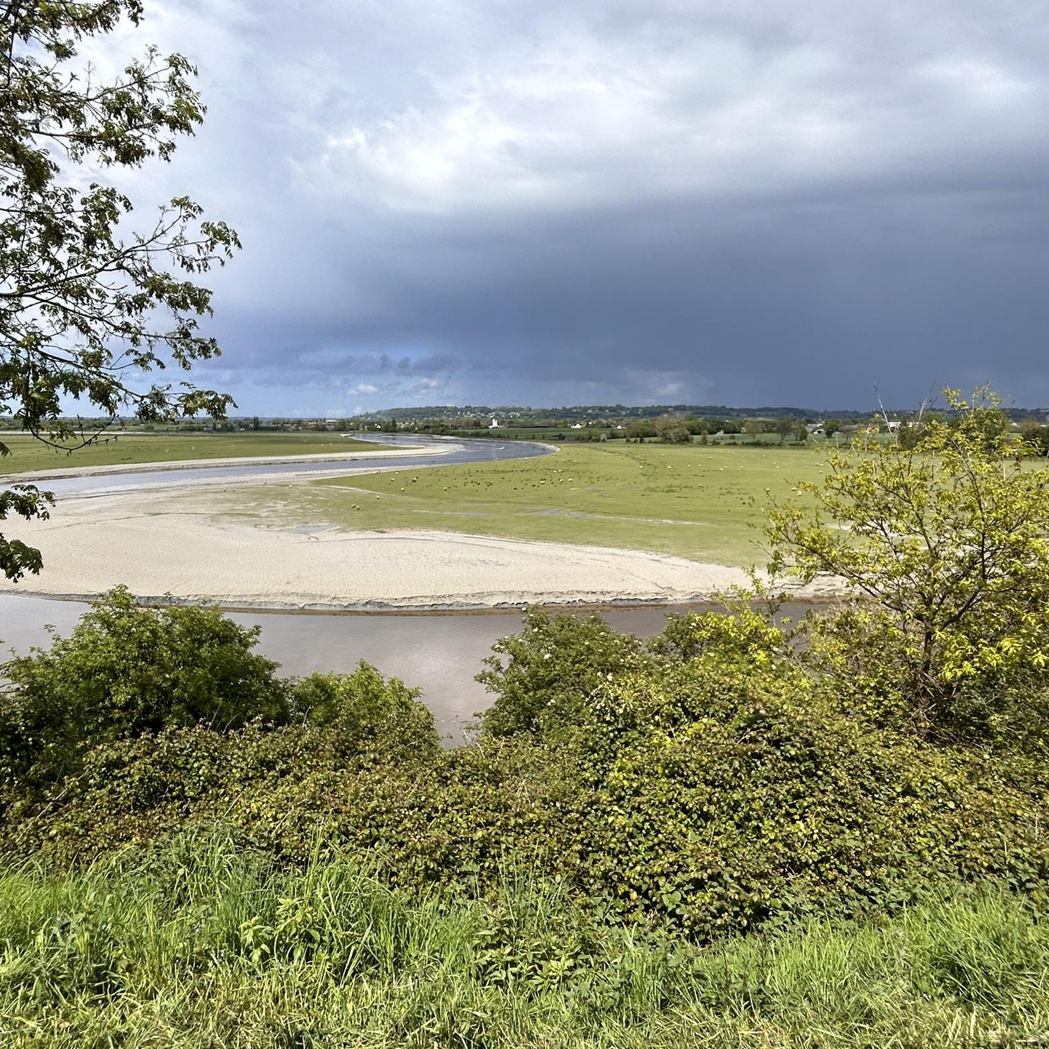
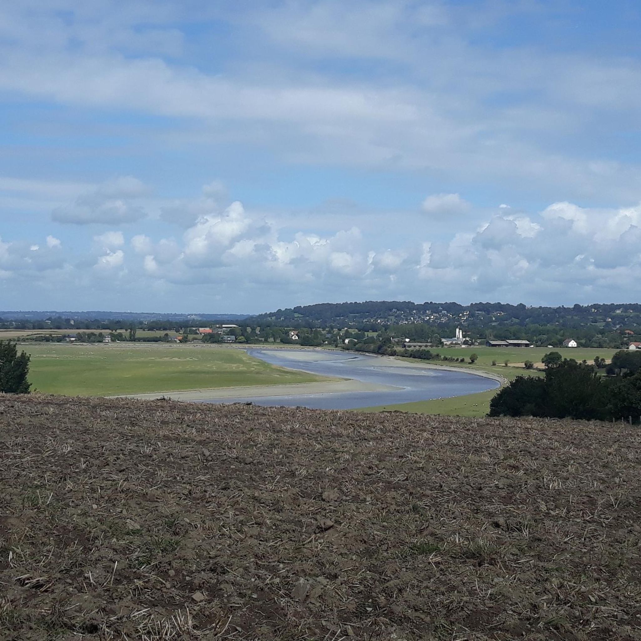
The “Pont de Pontaubault” is a beautiful work of art, the construction of which dates back to the 15th century. It is the first bridge to cross the Sélune, between Saint-Quentin-sur-le-Homme (right bank) and Pontaubault (left bank). It is located on the old road from Avranches to Rennes, via Saint-James. Since the arrival of the A84 motorway it has mainly been used locally. The bridge has eleven arches and is built with stone masonry. There is a picnic area at the bridge, near the railway viaduct of the Caen-Rennes line, not far from the salt meadows where sheep graze. During big tides many spectators and kayakers come to enjoy the spectacle provided by the tide. The bridge has a rich history. It was bombed several times during World War II but withstood these attacks, allowing 100,000 men and 1,500 vehicles to cross. A memorial plaque recalls that "the fate of the war lay on this bridge".
3
1

Friendly cafe at the entrance of the city next to the bridge
1
0
Montgommery Castle was rebuilt in the 17th century. At the beginning of the 16th century, the castle took the name of the Montgommery family. Famous, Gabriel I of Montgommery, owner of the castle, took part in the rue Saint-Antoine tournament and, by bad luck, mortally wounded King Henri II in the eye. Interestingly, this did not result in his own death. It was his conversion to Protestantism that led to his execution and the confiscation of his castle. Two years after his death, Henry III authorized Gabriel I de Montgommery's son, Gabriel II, to reoccupy the castle.
6
0

The Voie verte "Véloscénie" connects the heart of Paris (the Ile de la Cité) with Mont-Saint-Michel. Over about 450 km it takes you partly on small roads, former railway lines and along small rivers through places such as: Rambouillet, Chartes, Bagnoles de l'orne, Alencon and Domfront to the most famous landmark in Normandy!
1
0
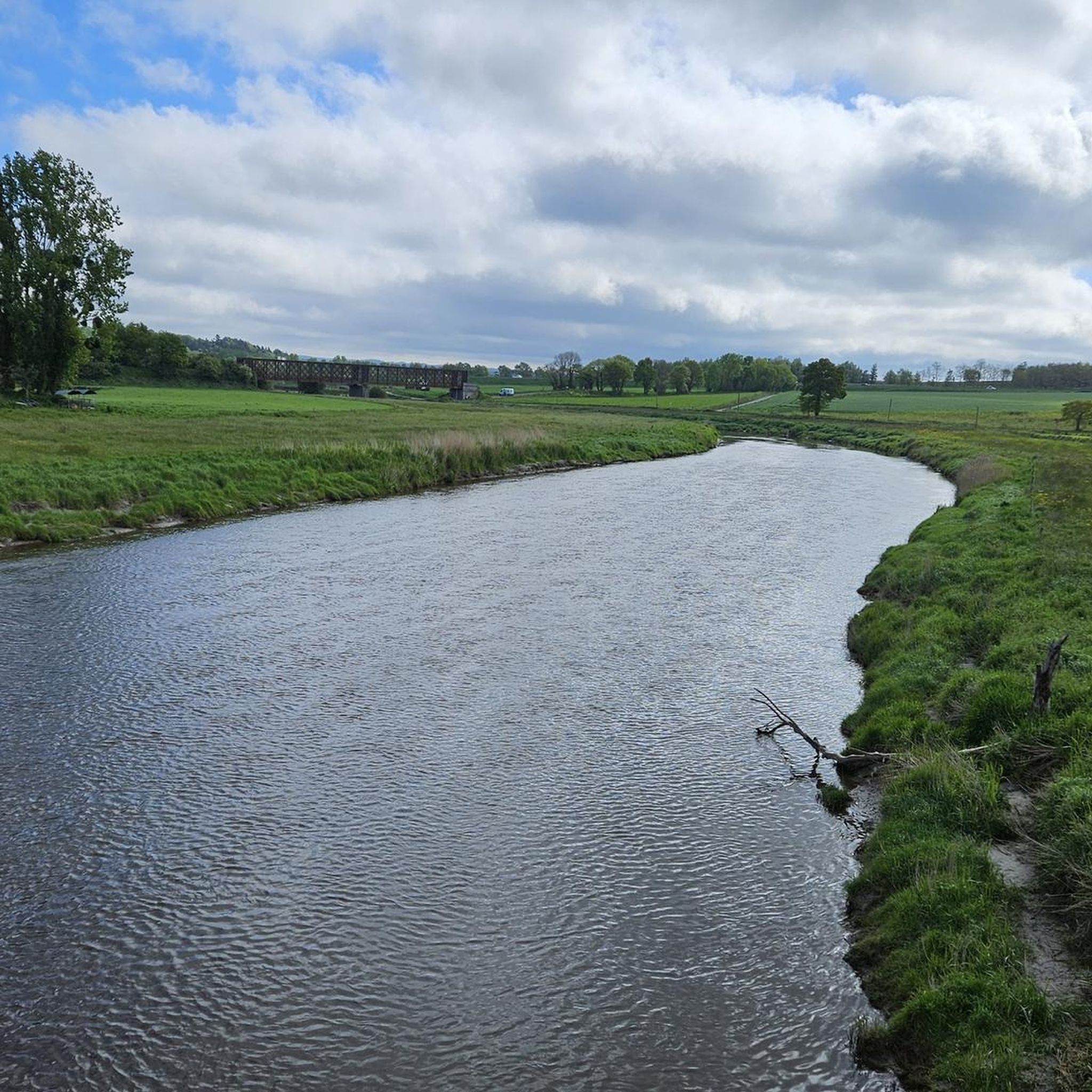
Here the Avranches Pontorson railway crosses the Sélune.
2
0
Frequently Asked Questions
What types of hiking trails can I expect around Saint-James?
Hiking around Saint-James offers a variety of paths through gentle river valleys, agricultural fields, and historical sites. You'll find routes traversing woodlands and open countryside, with generally mild elevation changes suitable for various fitness levels.
Are there many easy hiking options in the Saint-James area?
Yes, Saint-James is well-suited for easy hikes. Approximately half of the routes, 18 out of 37, are classified as easy. A great example is the Celtic Rock – La Pierre au Diable loop from Monthault, which is 4.0 miles (6.5 km) long and explores local folklore and natural features.
Are there any circular walks or loops available?
Many of the trails around Saint-James are designed as loops, offering convenient circular walks. For instance, the Church of Ducey – Montgommery Castle loop from Ducey is a moderate 7.5-mile (12.0 km) path that provides views of historical landmarks and river scenery.
What kind of historical sites or attractions can I see while hiking?
The region is rich in history. You can explore landmarks like the historic Montgommery Castle near Ducey, or the Pontaubault Bridge. The town of Ducey itself is also a point of interest along some routes.
Are the hiking trails around Saint-James suitable for families with children?
Given the generally mild elevation changes and the number of easy routes, many trails in Saint-James are suitable for families. Look for the 'easy' graded tours, which often feature well-maintained paths through woodlands and along rivers, providing a pleasant experience for all ages.
Can I bring my dog on the hiking trails in Saint-James?
Most hiking trails in the Saint-James area are dog-friendly, especially those through natural landscapes and woodlands. However, it's always recommended to keep your dog on a leash, particularly when passing through agricultural areas or near livestock, and to check local signage for any specific restrictions.
What do other hikers say about the trails in Saint-James?
The hiking trails in Saint-James are highly regarded by the komoot community, with an average rating of 4.5 stars from around 80 reviews. Hikers often praise the tranquil woodlands, gentle river paths, and the opportunity to explore local heritage on foot.
Are there any trails that follow riverbanks or offer water views?
Yes, the region features several routes along riverbanks. The Woodland path along the Sélune loop from Les Biards is a great option, leading through varied woodland and offering views of the Sélune river. You can also explore the Banks of the Sélune at Pontaubault.
Is there public transport available to access hiking routes near Saint-James?
While Saint-James is primarily accessed by car, some local bus services connect the town with nearby villages. For specific route access, it's advisable to check local bus schedules, as direct public transport links to trailheads can be limited. Many routes start from village centers which might be accessible by bus.
Where can I find parking for hiking trails in Saint-James?
Parking is generally available in the centers of towns and villages where many trails begin, such as Monthault, Ducey, or Les Biards. Look for designated public parking areas. For more remote trailheads, roadside parking might be an option, but always ensure you are not obstructing access or private property.
What is the best time of year to go hiking in Saint-James?
The best time for hiking in Saint-James is typically from spring to autumn (April to October). During these months, the weather is generally mild and pleasant, with lush greenery in spring and vibrant colors in autumn. Summer offers longer daylight hours, though it can be warmer.
Are there any longer, more challenging hikes for experienced hikers?
While most routes are easy to moderate, there are longer options for those seeking more distance. For example, the Ancient Dam Site – Woodland path along the Sélune loop from Les Biards is a moderate 6.5-mile (10.4 km) trail that offers a good workout through varied terrain.
Most popular routes around Saint-James
Most popular attractions around Saint-James

Get inspired with the komoot mobile app


Explore more
Browse the best Hikes in other regions.
