The best walks and hikes around Osmoy
4.5
(122)
721
hikers
131
hikes
Hiking around Osmoy in the Yvelines department offers accessible trails through a varied landscape. The region features a mix of fields and woods, providing a setting for walks. Hikers can expect to encounter forests, open fields, and historical lavoirs, with elevations ranging from 93 to 128 meters. Some routes integrate sections of the larger GR11 and GR22 hiking circuits.
Best hiking trails around Osmoy
- The most popular hiking route is Porte de Bretagne – Porte de Bretagne loop from Mantes-la-Jolie…
Last updated: November 2, 2026
4.5
(6)
23
hikers
13.6km
03:41
180m
180m
Moderate hike. Good fitness required. Easily walkable paths.
4.7
(3)
12
hikers
11.3km
02:54
50m
50m
Moderate hike. Good fitness required. Easily walkable paths.

3.5
(2)
9
hikers
5.82km
01:30
30m
30m
Easy hike. Easily walkable paths.
11
hikers
2.27km
00:35
10m
10m
Easy hike. Easily walkable paths.
5.0
(1)
8
hikers
4.93km
01:20
60m
60m
Easy hike. Easily walkable paths.
Get access to more routes and recommendations from other explorers.
Already have an account?
Our route recommendations are based on thousands of hikes, rides, and runs completed by other people on komoot.
Start today with a free account
Your next adventure awaits.




Other adventures around Osmoy

Tips from the Community

there is a tap nearby!
0
0

Beneath our feet, a circuit that carries water to Paris from the Eure-et-Loir region. Inaugurated in 1893, it delivers 80 million liters of drinking water (out of a total of 680 million liters) per day.
0
0
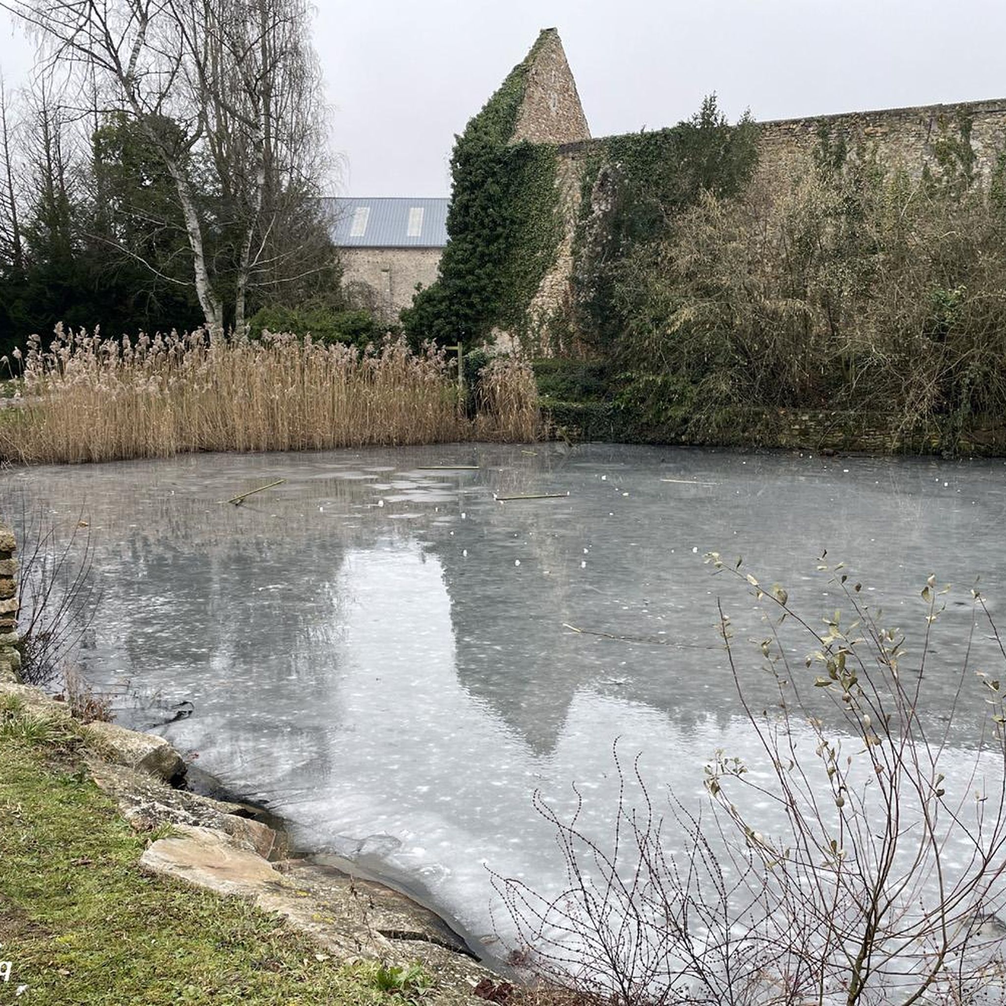
Pond where it is very pleasant to walk in the heart of the forest of the four pillars.
0
0
To discover following the path that goes beyond the small roundabout parking lot. Gallo-Roman nymphaeum organized around a spring. Pretty marble statuette, two remaining columns and a basin on this ancient sanctuary.
1
0

Magnificent place full of history, many paths in the surrounding area
0
0
The Avre aqueduct is one of the structures that supplies the city of Paris with drinking water. Inaugurated in 1893, it carries 80 million liters (out of a total of 680 million liters) per day from the Drouais in Eure-et-Loir. The water is transported by simple gravity: the altitude of the springs in the Avre region is 40 m higher than the level of the Saint-Cloud reservoir, their point of arrival. Several springs are captured in the Dreux region, in the Avre catchment basin.
0
0

Very nice passage, you can even stop there to fill the cans thanks to a drinking fountain just below!
0
0

One of the most beautiful Ile de France villages with its many vestiges.
2
0
Frequently Asked Questions
How many hiking trails are available around Osmoy?
There are over 120 hiking trails around Osmoy, offering a wide range of options for different skill levels. The komoot community has explored these routes over 650 times, providing valuable insights.
What kind of hiking difficulty can I expect in Osmoy?
Osmoy offers a good mix of trails. You'll find approximately 40 easy routes, 75 moderate trails, and a few more challenging options for experienced hikers. This variety ensures there's something for everyone, from leisurely strolls to more demanding excursions.
Are there any easy, family-friendly hikes in Osmoy?
Yes, Osmoy is well-suited for family outings with several easy routes. For instance, the Hiking loop from Septeuil is a 4.8 km trail through fields and woodlands, typically completed in about 1 hour 21 minutes. Another gentle option is the Étang de la Pimardière loop from Béhoust, which is just over 2 km and features minimal elevation gain.
Can I find circular hiking routes around Osmoy?
Absolutely. Many of the trails around Osmoy are circular, allowing you to start and end at the same point. A popular moderate circular route is the Porte de Bretagne – Porte de Bretagne loop from Mantes-la-Jolie, which spans 13.6 km. For a shorter, easy option, consider the Hiking loop from Septeuil.
What are some notable landmarks or historical sites I can see while hiking in Osmoy?
The region around Osmoy is rich in history and features. You can explore historical lavoirs, old chapels, and churches along many trails. Specific highlights include the Villa Landru, the Donjon and Fortified Site of Montchauvet, and the Château de Tilly. Some routes, like the Section of the Avre Aqueduct loop from Villiers-le-Mahieu, even follow historical infrastructure.
Are there any castles to visit near Osmoy?
Yes, the area around Osmoy is home to several castles. You can find the Château de Tilly, Behoust Castle, and Rosay Castle. The Rosay Castle – Malowe Nature loop from Mantes-la-Jolie even incorporates a visit to Rosay Castle.
What is the best time of year to go hiking in Osmoy?
The Yvelines department, where Osmoy is located, offers pleasant hiking conditions for much of the year. Spring and autumn provide mild temperatures and beautiful scenery with blooming flowers or vibrant foliage. Summer is also suitable, though it can be warmer, while winter offers a different, often quieter, experience through the fields and woods.
What do other hikers enjoy most about hiking in Osmoy?
The hiking experience in Osmoy is highly rated by the komoot community, with an average score of 4.4 stars from around 95 reviews. Hikers often praise the varied terrain, which includes open fields, dense woodlands, and the presence of historical features like lavoirs and old chapels, making for a diverse and engaging walk.
Are there any trails that are part of larger hiking networks?
Yes, some of the hiking loops in Osmoy integrate sections of the larger GR11® and GR22® hiking routes. This allows for potentially longer and more varied explorations if you wish to extend your hike beyond the local trails.
What kind of natural landscapes will I encounter on the trails around Osmoy?
The landscape around Osmoy is characterized by a pleasant mix of fields and woods. You can expect to walk through forests, across open fields, and encounter historical features like lavoirs. The terrain generally features gentle elevation changes, ranging from 93 to 128 meters in altitude.
Are there any trails that follow interesting historical features?
Yes, the Section of the Avre Aqueduct loop from Villiers-le-Mahieu is a moderate 13.2 km path that specifically follows a section of the historic Avre Aqueduct, offering a unique blend of natural scenery and historical interest.
Most popular attractions around Osmoy

Get inspired with the komoot mobile app


Explore more
Browse the best Hikes in other regions.
