The best walks and hikes around Pelleautier
4.4
(560)
5,298
hikers
209
hikes
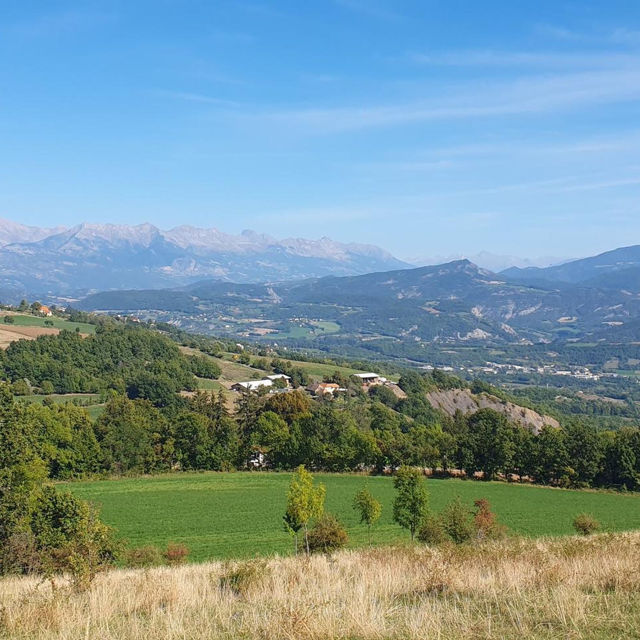
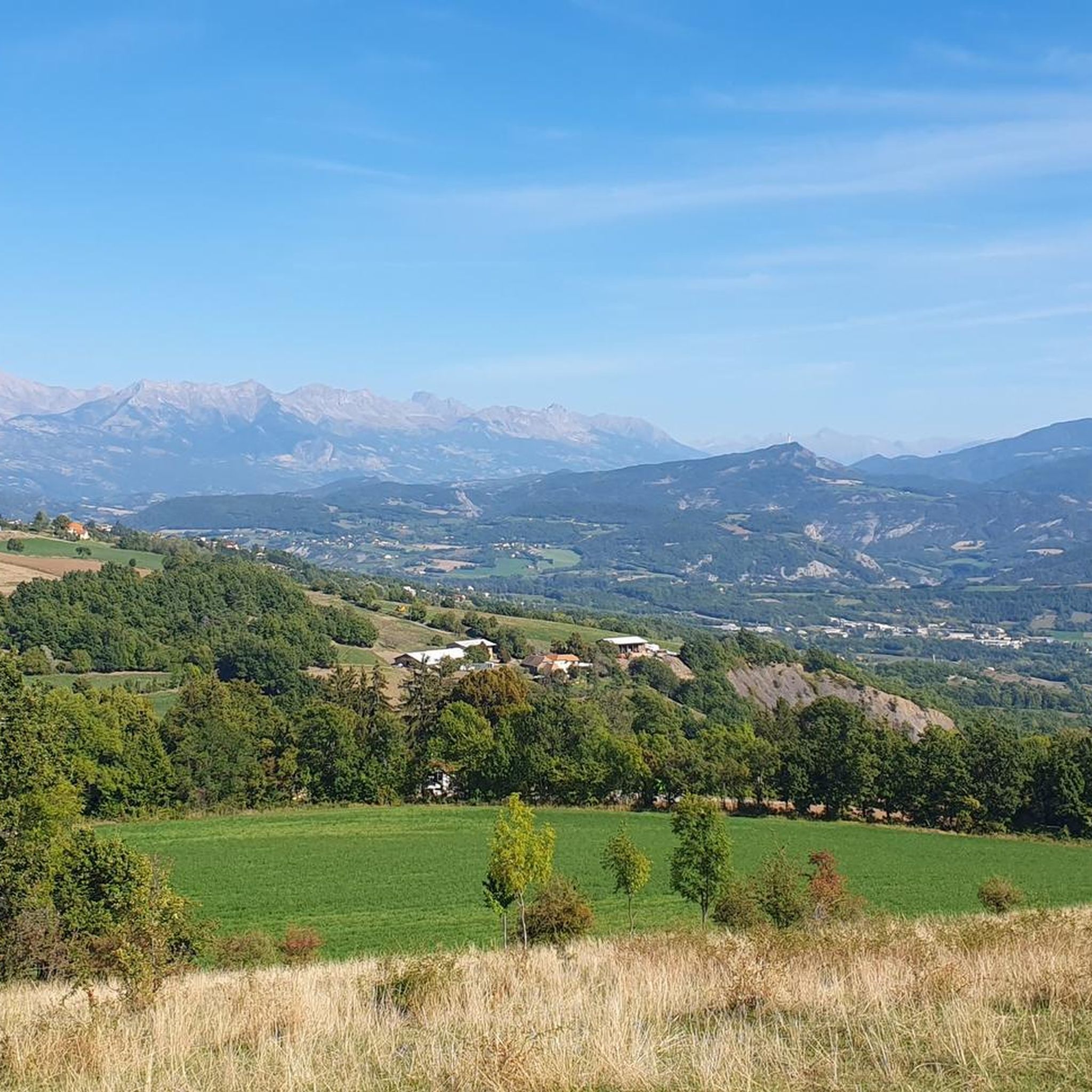
Hiking around Pelleautier offers diverse natural landscapes within the Hautes-Alpes department of France. The region features varied mountainous terrain, including prominent peaks like Pic Charance and Montagne de Céüse, alongside green landscapes with forests, meadows, and unique geological formations such as marls. Proximity to the Durance River and Serre-Ponçon Lake further defines the area's physical features.
Best hiking trails around Pelleautier
- The most popular hiking route is La Montagne de Céüse in a loop, an 8.1 miles (13.0 km)…
Last updated: September 28, 2026
4.0
(4)
40
hikers
2.76km
00:42
10m
10m
Easy hike. Great for any fitness level. Easily-accessible paths. Suitable for all skill levels.
11
hikers
6.41km
01:53
180m
180m
Easy hike. Great for any fitness level. Easily-accessible paths. Suitable for all skill levels.

9
hikers
3.38km
00:56
60m
60m
Easy hike. Great for any fitness level. Easily-accessible paths. Suitable for all skill levels.
3
hikers
5.70km
01:34
100m
100m
Easy hike. Great for any fitness level. Easily-accessible paths. Suitable for all skill levels.
3
hikers
5.97km
01:43
140m
150m
Easy hike. Great for any fitness level. Easily-accessible paths. Suitable for all skill levels.
Get access to more routes and recommendations from other explorers.
Already have an account?
Our route recommendations are based on thousands of hikes, rides, and runs completed by other people on komoot.
Start today with a free account
Your next adventure awaits.

Tips from the Community


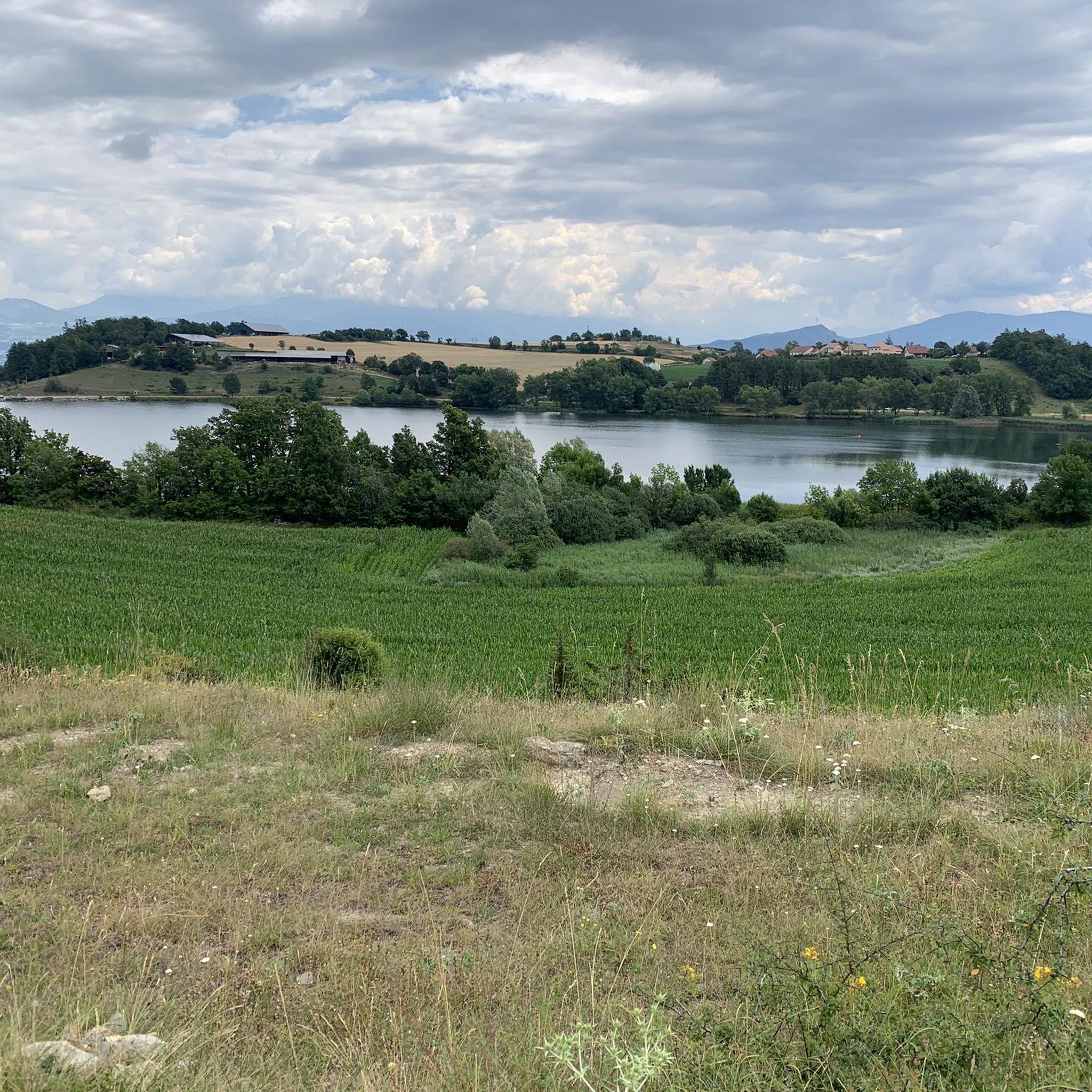
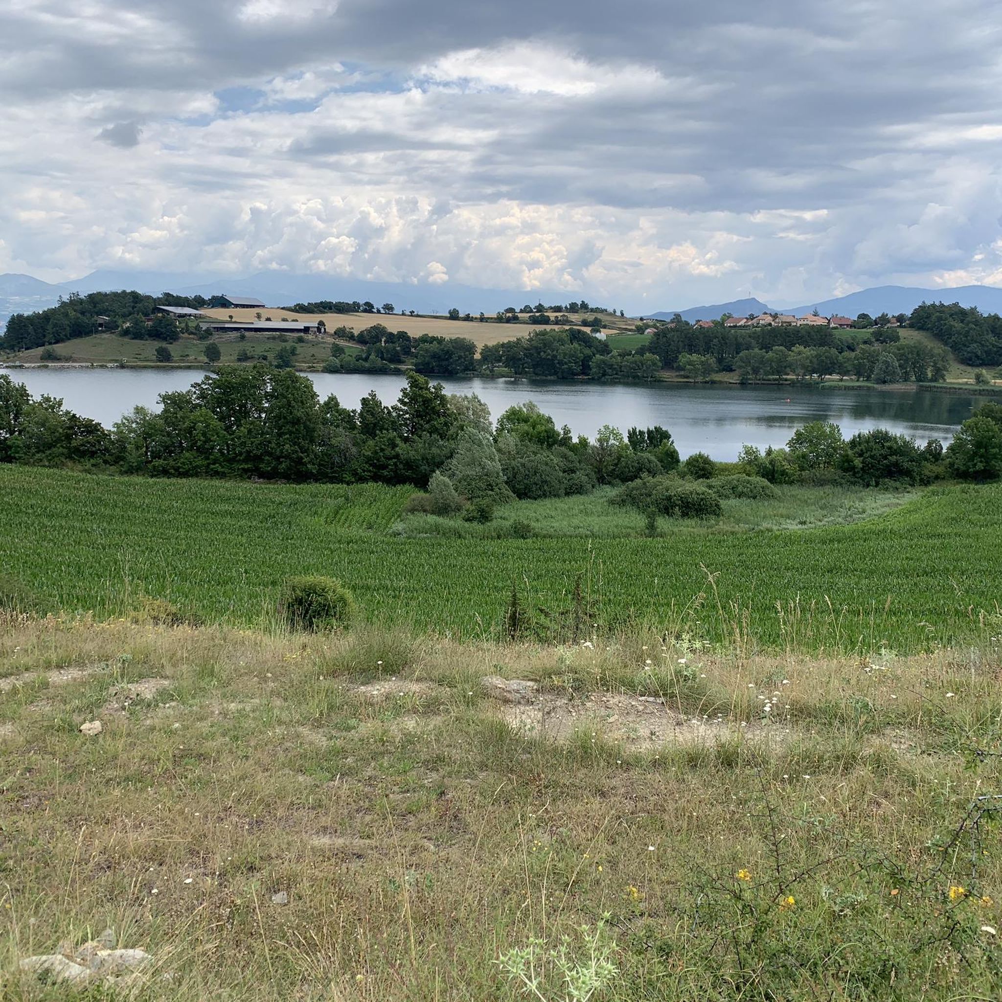
Lake at the foot of the superb mountain of Céüse with a small leisure centre. The cliffs, classified as a Natura 2000 zone, are home to peregrine falcons and choughs. Renowned for rock climbing, they attract climbers from all over the world.
1
0

A picturesque lake with a view of the Céüze. It's a nice place to swim and lots of people bathe in the lake.
1
0
Frequently Asked Questions
How many hiking trails are available around Pelleautier?
There are over 200 hiking routes around Pelleautier, offering a wide range of options for different skill levels and preferences. The komoot community has explored more than 4,000 km of trails in the area.
Are there easy or family-friendly hiking options in Pelleautier?
Yes, Pelleautier offers many easy paths suitable for all fitness levels, including families. For example, the Lake Pelleautier – Pelleautier Lake loop from Pelleautier is a short, easy route perfect for a leisurely walk around the local lake.
Can I find circular hiking routes near Pelleautier?
Absolutely. Many trails in the region are designed as loops, allowing you to start and end at the same point. Popular circular routes include the La Montagne de Céüse in a loop, offering stunning views, and the La Manche – View of Plateau de Bure loop from Châteauneuf-d'Oze.
What kind of natural landscapes can I expect to see while hiking in Pelleautier?
Pelleautier is characterized by diverse and stunning natural landscapes. You'll encounter varied mountainous terrain, including prominent peaks like Pic Charance and Montagne de Céüse, alongside green landscapes with fragrant lavender fields, dense forests (like the Sapet forest), expansive mountain pastures, and flower-filled meadows. The region is also close to the Durance River and Serre-Ponçon Lake.
Are there any waterfalls or lakes to visit on hikes?
Yes, the region offers beautiful water features. Pelleautier Lake is a local attraction with an easy loop trail around it. Additionally, the Simoust waterfall provides a picturesque spot to cool off, and the large Serre-Ponçon Lake is nearby, offering scenic views and water-based activities.
What are some notable landmarks or attractions accessible from the trails?
Hikers can explore several interesting landmarks. The 10th-century fortified Château de Tallard adds cultural richness. You can also find unique geological formations like the "marnes" near Espréaux Pass, and the rare Petrifying Fountain near Réotier. The Ceuze pike is another prominent natural landmark.
Is Pelleautier suitable for more challenging hikes?
Yes, Pelleautier caters to hikers of all experience levels, including those seeking more challenging routes. The area features demanding mountaineering experiences that require very good fitness, sure-footedness, sturdy shoes, and alpine experience, particularly around peaks like Pic Charance and Montagne de Céüse. There are 20 difficult routes available.
Are dogs allowed on the hiking trails in Pelleautier?
Many trails in the Pelleautier region are dog-friendly. However, it's always advisable to check specific trail conditions and regulations before heading out, and to bring plenty of water for your pet. Note that dogs are generally forbidden in Ecrins Park, which is nearby.
What is the best time of year to go hiking in Pelleautier?
The region boasts a sunny climate, making it ideal for exploring its natural beauty. Early summer is particularly delightful when the flower-filled meadows are in full bloom. The diverse terrain also offers options for winter activities like snowshoeing, though specific trail conditions should be checked.
Are there any long-distance hiking trails passing through the Pelleautier region?
Yes, sections of significant long-distance hiking trails can be found in the region. These include parts of the GR® 93 and the easy GRP® entre Céüse et Durance. The famous GR50 also has a section in the vicinity, offering immersive experiences through larch forests and panoramic cols.
What do other hikers say about the trails in Pelleautier?
The routes in Pelleautier are highly rated by the komoot community, with an average score of 4.5 stars from over 450 reviews. Hikers often praise the diverse landscapes, the stunning views of mountainous terrain, and the variety of trails suitable for different abilities.
Are there any specific routes that offer panoramic views?
Many routes in Pelleautier offer breathtaking panoramic views, especially those ascending to higher elevations. The View of Plateau de Bure – Ceuze pike loop from Céüze provides scenic vistas of the Plateau de Bure and the surrounding mountainous area. Loops around Pic Charance and Pic de Céüse are also known for their expansive outlooks.
Most popular routes around Pelleautier
Most popular attractions around Pelleautier

Get inspired with the komoot mobile app


Explore more
Browse the best Hikes in other regions.
