The best road cycling routes around Livré-Sur-Changeon
4.4
(55)
1,177
riders
183
rides
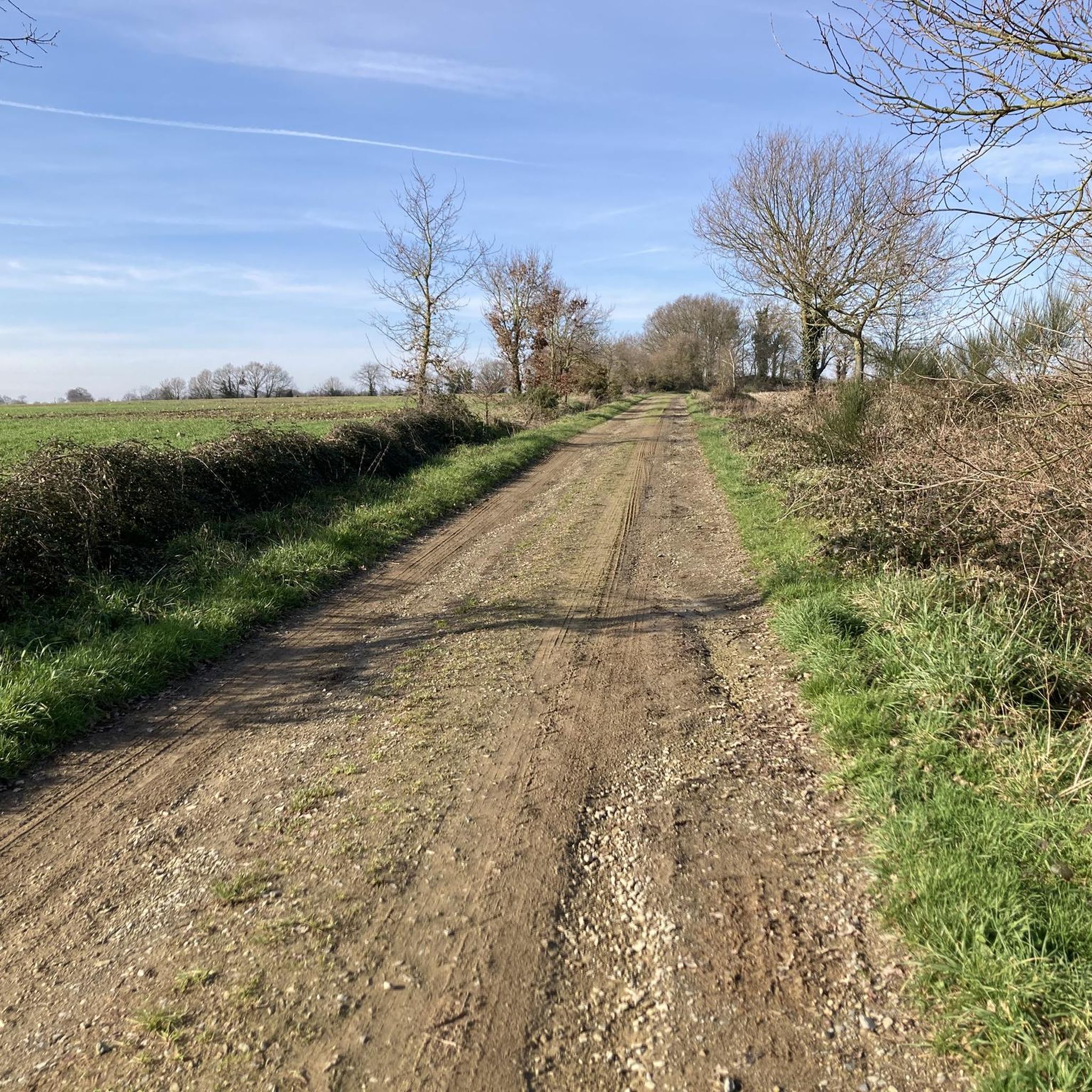
Road cycling around Livré-Sur-Changeon features a green and hilly bocage landscape, providing varied terrain for cyclists. The region is characterized by a mosaic of fields, hedgerows, and woodlands, with altitudes ranging from 60 meters to 125 meters. Winding waterways, including sub-tributaries of the Vilaine, create scenic routes through valleys. This diverse topography offers both gentle ascents and descents.
Best road cycling routes around Livré-Sur-Changeon
- The most popular road cycling route is Medieval hamlet of Chevré – Chevré Mill and Pond…
Last updated: November 2, 2026
11
riders
Moderate road ride. Good fitness required. Some segments of this route may be unpaved and difficult to ride.
9
riders
69.5km
03:02
570m
570m
Moderate road ride. Good fitness required. Some segments of this route may be unpaved and difficult to ride.

40.0km
01:47
410m
410m
Moderate road ride. Good fitness required. Mostly well-paved surfaces and easy to ride.
1
riders
61.7km
02:40
530m
530m
Moderate road ride. Good fitness required. Mostly well-paved surfaces and easy to ride.
3
riders
36.7km
01:37
280m
280m
Easy road ride. Mostly well-paved surfaces and easy to ride.
Get access to more routes and recommendations from other explorers.
Already have an account?
Our route recommendations are based on thousands of hikes, rides, and runs completed by other people on komoot.
Start today with a free account
Your next adventure awaits.
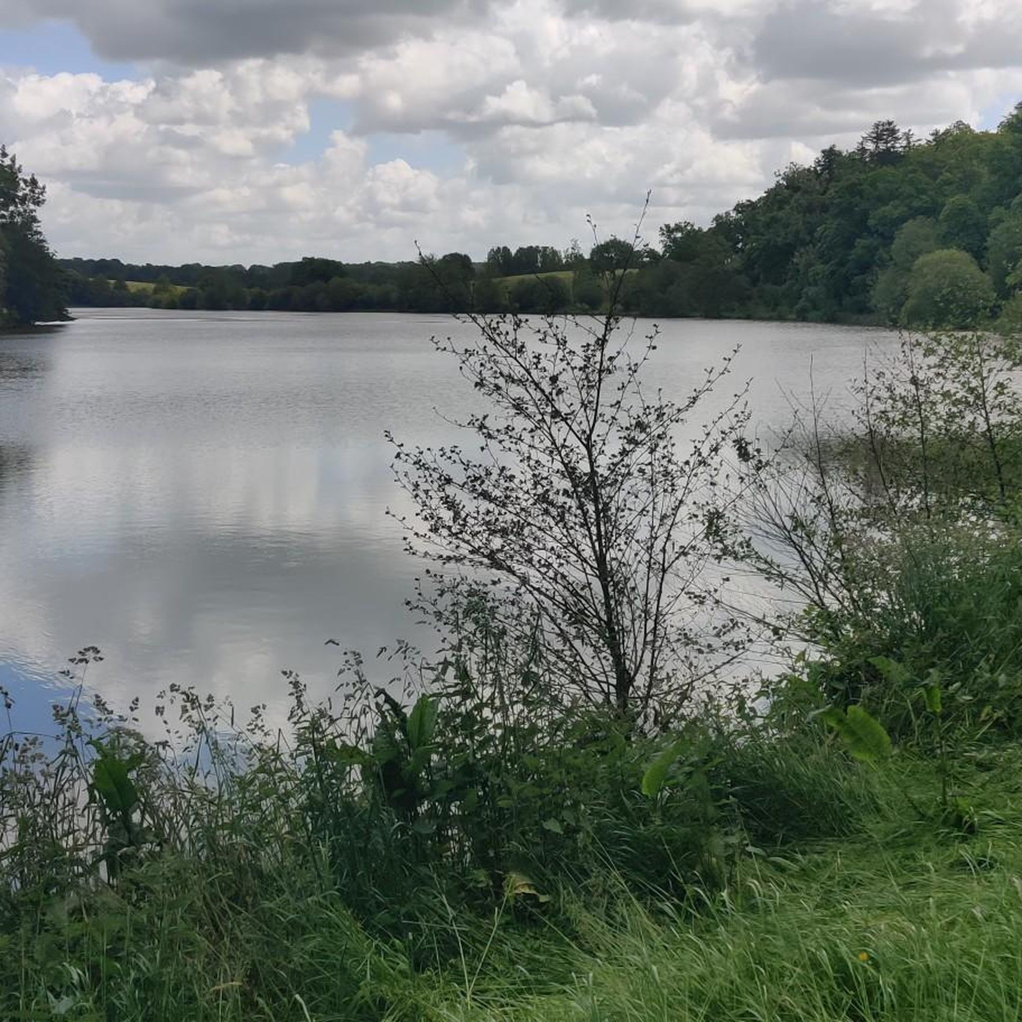
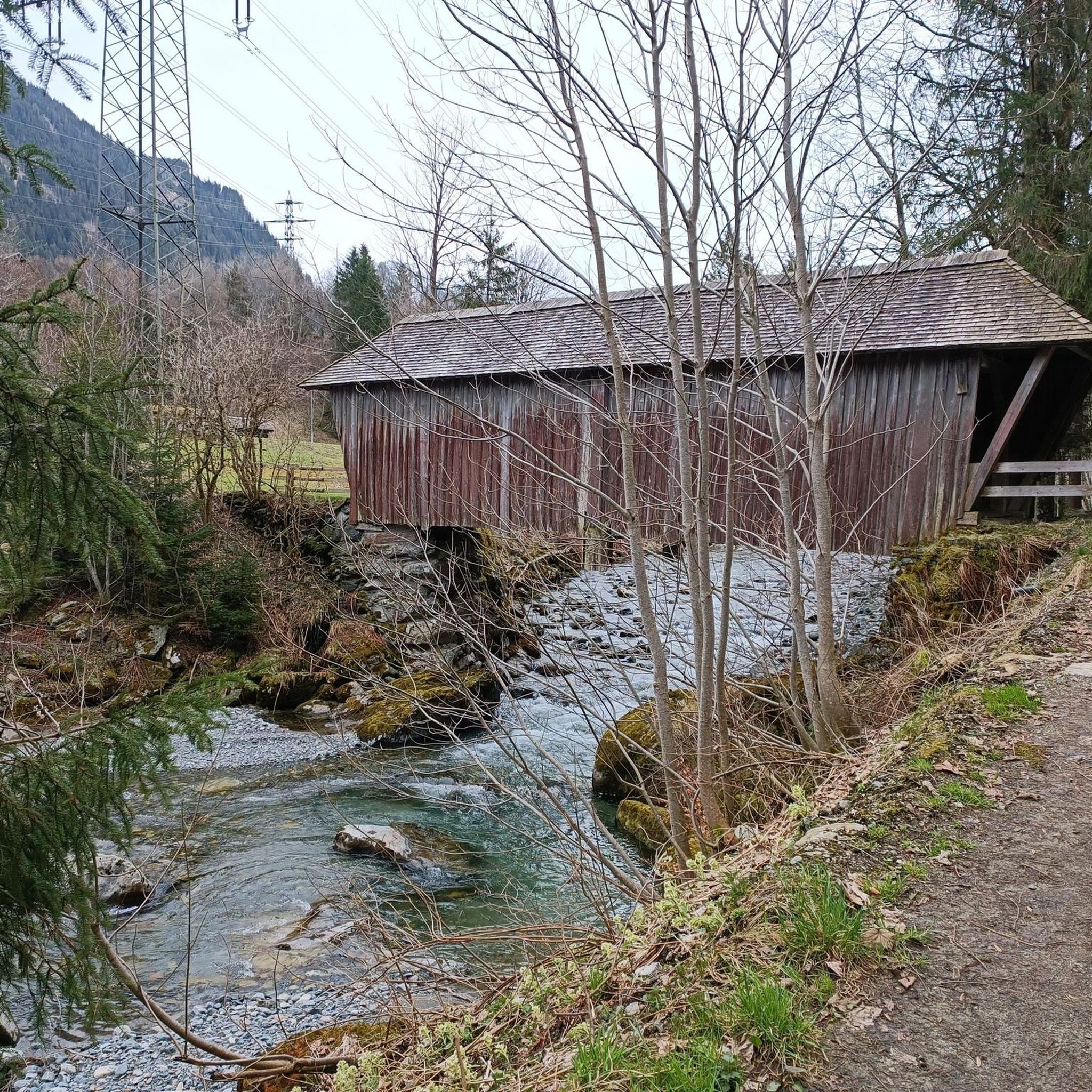
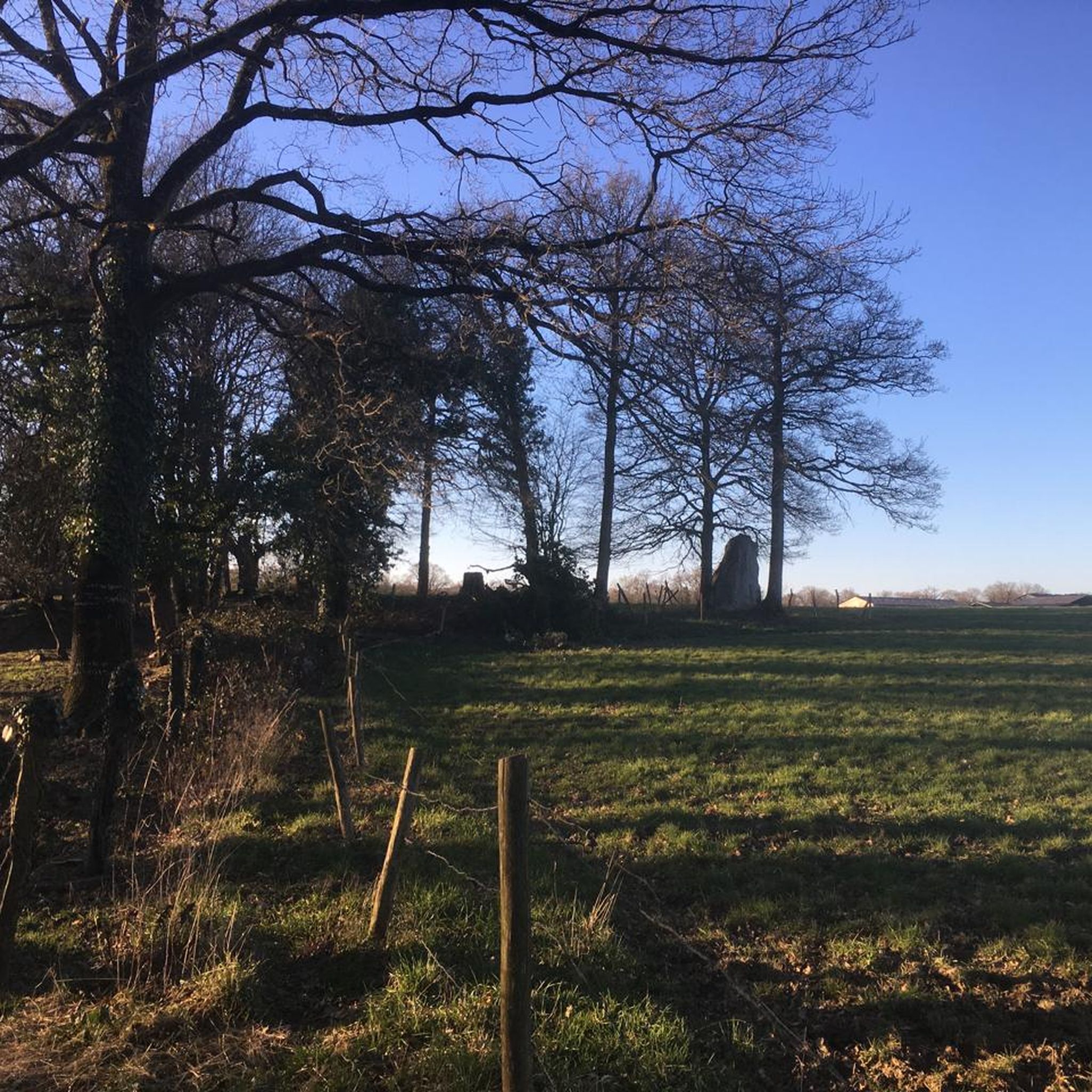
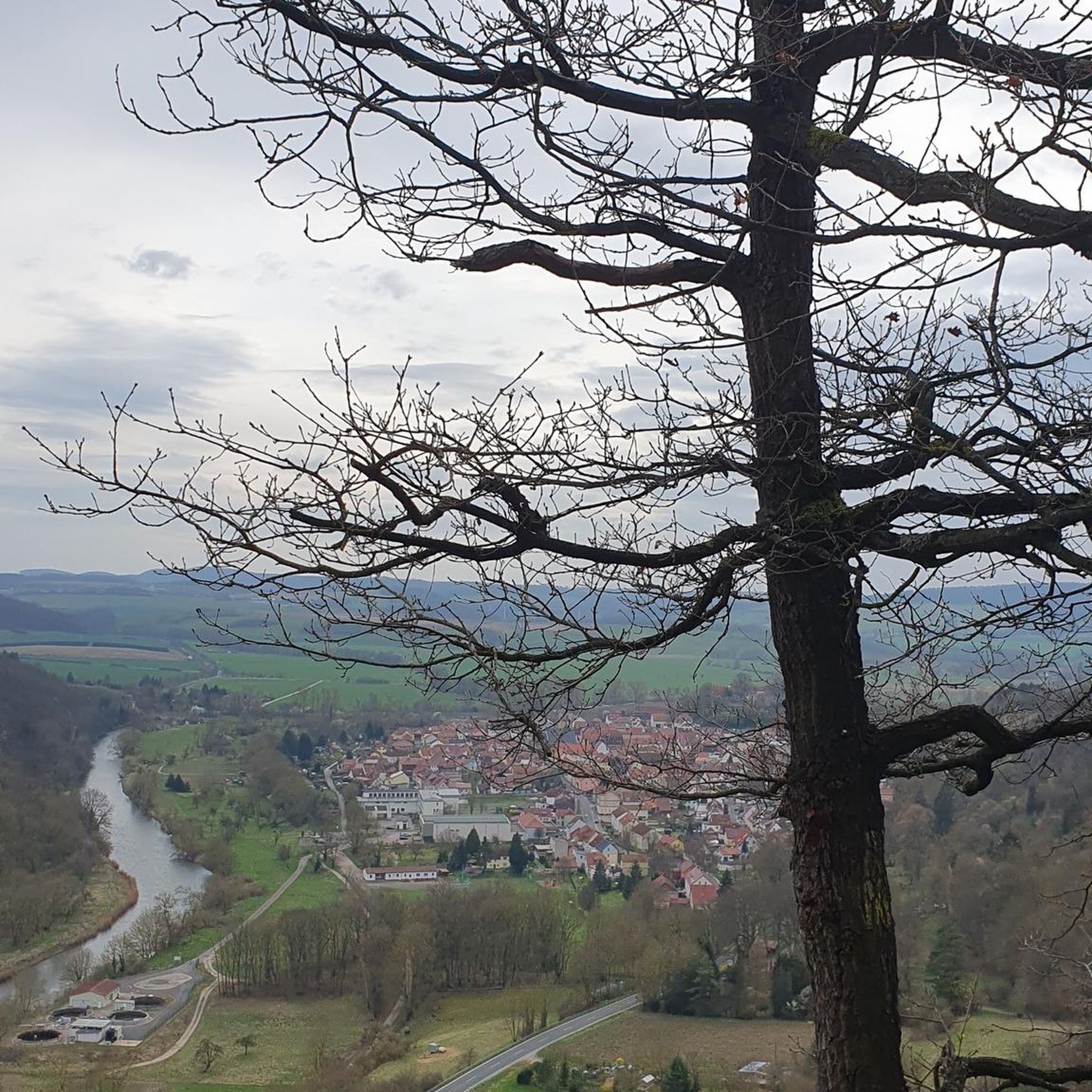
Tips from the Community

The Town Hall (15th century-1904), located place de la Mairie. Its bell tower dates from 1534. It is the former church transformed into a town hall by the mayor-châtelain, Jacques le Cardinal de Kernier, at the beginning of the 20th century. The latter had built a new church for the inhabitants of Val-d'Izé.
0
0
The church was built from 1889 to 1895, in sandstone, granite, and limestone. With a Latin cross plan, the building is composed of three naves. The main nave is covered by domes on pendentives, and the crossing of the transept features a lantern tower. The overall design of the ensemble is neo-Romanesque with a bichromy of materials and different stonework. The domed roof, the multiple decorative details, and the play of polychrome materials reflect a mastered art of the Romanesque architecture of Angoumois.
0
0
The bell tower is visible from afar and has long dominated the town and its surroundings. The Saint-Pierre church has retained its impact on the local landscape for over a century. It was indeed in 1888 that the Fabrique Council decided to entrust Arthur Régnault, the diocese's architect, with the project for a new construction. His plan was accepted and work began in October 1889, before the blessing of the first stone on March 13, 1890. As an anecdote, the stones are extracted from the quarry of La Bouëxière. Quickly, the inhabitants discovered its citadel-like appearance, Arthur Régnault having wanted to honor the city of Châteaubourg which had not had a castle for a long time! The structural work was completed on March 28, 1893, but due to lack of funds, the bells would wait until 1894. The work on the woodwork and the construction of the high altar took place in 1911, the church being due to host the important Eucharistic congress of 1913. Maintenance work continued over the years, the church having become the property of the municipality since 1905. During the bombings of the summer of 1944, the church was spared. The inhabitants would not forget it: on May 9, 1945, the day after the armistice, the men carried Notre Dame de Boulogne in procession and paraded barefoot through the streets. The centenary was celebrated in 1992 with the decision to install the current organ. The church of Châteaubourg has thus traversed local history from the 15th century – the date of construction of the previous, much smaller church – to that designed by Arthur Régnault.
0
0
The sacristy and tower of the current church were built in 1628 and 1632. A chapel was dedicated to Saint Nicholas in 1643. As for the nave, it dates from 1856. It contains a carved wooden altarpiece, bearing the coat of arms of Brignon, one of the church's financiers.
0
0
It originally consisted of a simple nave built in the 15th and 16th centuries, and whose straight chancel was rebuilt in 1700. The church, thus restored, was solemnly blessed by the rector on August 2, 1761. In 1806, a chapel dedicated to Saint Margaret was added to the south, and in 1818, to the north, the tower was partly redone, with at its base the chapel of the Virgin Mary. The lord Du Val, at Saint-Didier, has in the church of Saint-Jean-Baptiste a tomb where Jean de La Porte, lord Du Val, was buried in 1618, and in 1761 Suzanne Marion, daughter of lord Du Val and widow of Charles Du Boispéan. M. de Guersans, vicar general, erected the confraternity of the Holy Spirit at Saint-Jean-sur-Vilaine on June 25, 1746. Several foundations exist in this church: that of Le Poirier, that of La Bâte, that of La Porte. Jeanne Guyot, lady of La Hamonais, founded an annuity of 36 livres for the maintenance of candles during the octave of the Blessed Sacrament.
0
0

Tour Montfromery was originally designed as part of the city walls and served to defend the eastern city limits. Its name dates back to the Constable of Fougères, Beaucé de Montframmery, who was active in 1473. The tower was also known as Tour Saint-Jacques and was connected to a nearby gate called the Four d'Enfer. It was part of the defensive works that protected the city during the Middle Ages.
1
0
The Jardin Public is centrally located in the city and extends over several terraces offering sweeping views of the old town and the Château de Fougères. Created in 1865, the park combines features of an English landscape garden, French garden architecture, and botanical design.
1
0
The Église Saint-Léonard was built in the 12th century and acquired its present form in the flamboyant Gothic style in the 15th and 16th centuries. During the French Revolution, the church was deprived of its sacred function, but in the 19th century, under architects such as Aristide Tourneux, it underwent extensive renovations, including a new main façade with a large rose window. Inside, 19th-century stained-glass windows depicting episodes from the life of Saint Léonard can be seen.
1
0
Frequently Asked Questions
What kind of terrain can I expect when road cycling around Livré-sur-Changeon?
The region around Livré-sur-Changeon is characterized by a green and hilly bocage landscape. This means you'll encounter a scenic mosaic of fields, hedgerows, and woodlands, with varied topography offering both gentle ascents and descents. Altitudes range from 60 meters to 125 meters, providing an engaging backdrop for your rides.
Are there road cycling routes suitable for beginners or those looking for an easier ride?
Yes, Livré-sur-Changeon offers options for various ability levels. Among the 177 road cycling routes available, 30 are classified as easy, making them suitable for beginners or those preferring a less strenuous experience. These routes allow you to enjoy the picturesque bocage landscape at a comfortable pace.
What historical landmarks or natural features can I see along the road cycling routes?
Many routes incorporate the region's rich heritage and natural beauty. You can cycle past the Medieval hamlet of Chevré and the tranquil Chevré Mill and Pond. Other notable features include the winding waterways, such as sub-tributaries of the Vilaine, and the serene Étang de Changeon. The wider area also boasts historical sites like the Menhir de La Roche Piquée and ancient churches.
Are there any routes that feature lakes or ponds?
Yes, several routes offer views of the region's beautiful bodies of water. For example, the route 'Cantache Pond – Plan d'Eau de la Cantache loop from Dourdain' takes you past the Cantache Pond. The Medieval hamlet of Chevré – Chevré Mill and Pond loop from Mecé also passes by the tranquil Chevré Mill and Pond.
What do other cyclists say about road cycling in Livré-sur-Changeon?
The road cycling routes around Livré-sur-Changeon are highly regarded by the komoot community, with an average rating of 4.6 stars from over 40 reviews. Cyclists frequently praise the varied terrain, the scenic bocage landscape, and the opportunity to explore historical sites and natural features like ponds and hamlets.
How many road cycling routes are available in the Livré-sur-Changeon area?
There are 177 road cycling routes available around Livré-sur-Changeon. This extensive network provides a wide range of options, from easy rides to more challenging routes, allowing you to explore the diverse landscape of the Ille-et-Vilaine department.
Can I find challenging road cycling routes with significant elevation gain?
While the region is characterized by a hilly bocage landscape with moderate ascents, there are routes that offer more significant elevation gain. For instance, the 'Saint Léonard Church – Fougères Castle loop from Livré-sur-Changeon' covers 68.3 km with over 560 meters of elevation gain, providing a good challenge for experienced cyclists.
Are there any circular road cycling routes around Livré-sur-Changeon?
Yes, many of the road cycling routes in the area are designed as loops, allowing you to start and finish at the same point. Examples include the Medieval hamlet of Chevré – Chevré Mill and Pond loop from Mecé and the Public Garden – Saint Léonard Church loop from Mecé, which are popular choices for their scenic and convenient circular paths.
What is the best time of year for road cycling in Livré-sur-Changeon?
The region's green and hilly bocage landscape is enjoyable throughout much of the year. Spring and autumn generally offer pleasant temperatures and vibrant scenery, making them ideal for road cycling. The winding waterways and woodlands are particularly beautiful during these seasons.
Are there any routes that connect historical towns or castles?
Absolutely. The 'Saint Léonard Church – Fougères Castle loop from Livré-sur-Changeon' is a prime example, connecting historical landmarks including a church and the impressive Fougères Castle. This route allows you to combine your cycling adventure with exploring the rich history of the regional landscape.
What is the longest road cycling route available in the area?
Among the featured routes, the Saint Léonard Church – Fougères Castle loop from Livré-sur-Changeon is one of the longer options, spanning 68.3 km. This route offers an extended journey through the regional landscape, connecting significant historical points.
Is Livré-sur-Changeon easily accessible for cyclists bringing their own bikes?
Yes, Livré-sur-Changeon is strategically located within the triangle of Rennes-Vitré-Fougères and is close to major axes like the A84 motorway. This makes it highly accessible for visitors who wish to bring their bikes and explore the region's road cycling routes.
Most popular routes around Livré-Sur-Changeon
Most popular attractions around Livré-Sur-Changeon

Get inspired with the komoot mobile app


Explore more
Browse the best Road cycling routes in other regions.
