The best running trails around Couptrain
4.7
(6)
286
runners
37
runs
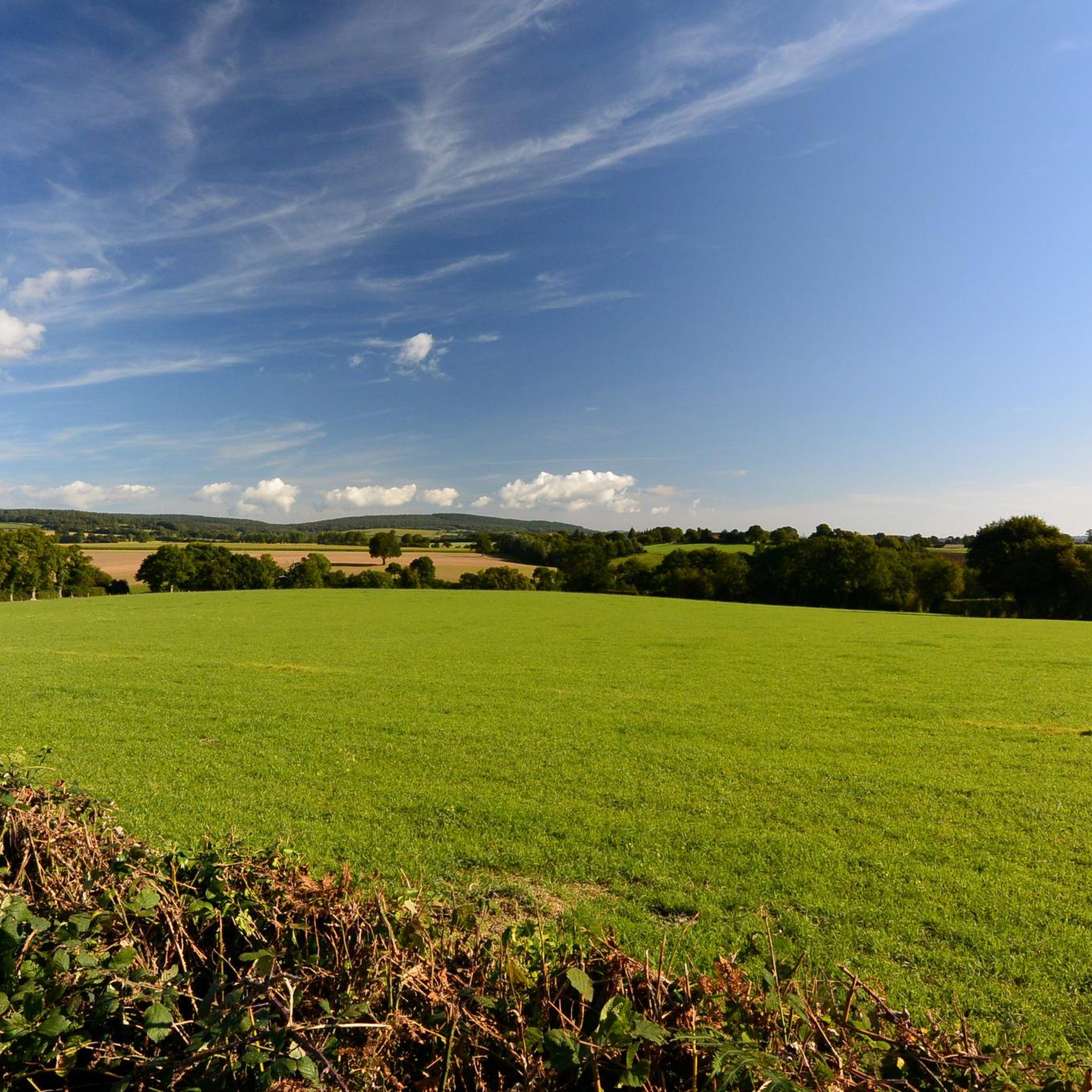
Jogging around Couptrain offers opportunities to explore the region's varied landscape. The area features notable viewpoints, such as Mont des Avaloirs, and extends into woodlands. Running routes often include ascents to higher ground, providing panoramic views of the surrounding countryside. The terrain is characterized by a mix of forest paths and open areas, suitable for different running preferences.
Best jogging routes around Couptrain
- The most popular jogging route is Avaloirs Viewpoint – Mont des Avaloirs viewpoint loop from Pré-en-Pail-Saint-Samson,…
Last updated: August 5, 2026
66
runners
26.6km
03:08
470m
470m
Hard run. Very good fitness required. Mostly paved surfaces. Suitable for all skill levels.
39
runners
Hard run. Very good fitness required. Mostly paved surfaces. Suitable for all skill levels.

Sign up for free
4.0
(1)
12
runners
10.7km
01:07
70m
70m
Moderate run. Good fitness required. Mostly paved surfaces. Suitable for all skill levels.
4
runners
9.75km
01:02
150m
150m
Moderate run. Good fitness required. Mostly paved surfaces. Suitable for all skill levels.
4
runners
10.9km
01:09
150m
150m
Moderate run. Good fitness required. Mostly paved surfaces. Suitable for all skill levels.
Get access to more routes and recommendations from other explorers.
Sign up for free
Already have an account?
Our route recommendations are based on thousands of hikes, rides, and runs completed by other people on komoot.
Start today with a free account
Your next adventure awaits.
Login or Signup

Tips from the Community

chapel of Saint Ortaire, Saint Radegonde.
0
0

Riding up there by bike was quite strenuous, but the view from the top was worth the effort. It was well worth it.
0
0

easy route along a meandering river. Not for people with moderate mobility.
0
0

Magnificent hike in the peace, in the trees, along the water, with viewpoints to delight the eyes and the mind. A little sporty in places....Wonderful memories
0
0

Beautiful 360 degree view
1
0

Located in Mayenne, Mont des Avaloirs is the highest point of the Armorican massif. It is part of the Normandy-Maine Regional Natural Park and enjoys the status of a Global Geopark. The belvedere, built in 1994 and covered with a magnificent colorful fresco, painted in 2019 by the Franco-British artist Seb Toussaint. It offers a 360° view of all the surrounding forests and peaks.
0
0

Here is a beautiful resting place near the chapel. Be sure to take a machete with you for the way there.
0
0
Frequently Asked Questions
How many running routes are available around Couptrain?
There are over 30 dedicated running routes around Couptrain, offering a variety of options for different skill levels and preferences. The komoot community has explored these trails over 280 times.
Are there any easy jogging routes suitable for beginners in Couptrain?
Yes, while many routes feature elevation, there are options for beginners. For example, the region offers at least one easy-rated running route, and 27 moderate routes that could be suitable for those looking for a less strenuous run.
Can I find circular running trails in the Couptrain area?
Absolutely. Many of the running routes around Couptrain are designed as loops, allowing you to start and finish at the same point. A popular option is the Bois de Villeray loop from Javron-les-Chapelles, a moderate 10.7 km trail.
What kind of terrain can I expect on the running trails near Couptrain?
The terrain around Couptrain is quite varied, characterized by a mix of forest paths, open landscapes, and rolling hills. You'll encounter ascents to higher ground, especially towards viewpoints like Mont des Avaloirs, providing panoramic views of the surrounding countryside.
Are there any scenic viewpoints or landmarks along the running routes?
Yes, the region is known for its viewpoints and historical sites. You can find routes that pass by notable spots such as the Mont des Avaloirs viewpoint. Additionally, nearby attractions include the Saint Anthony Chapel and Petit Jard Castle, which can be explored in conjunction with your run.
What do other runners say about the trails in Couptrain?
The running routes in Couptrain are highly regarded by the komoot community, holding an average rating of 4.5 stars. Runners often praise the varied terrain, the challenging ascents, and the rewarding views from elevated areas.
Are there any long-distance running options around Couptrain?
Yes, for those seeking longer runs, Couptrain offers several challenging routes. The Saint Anthony Chapel – Hippolyte Oak loop from Antoigny is a difficult 26.6 km path that traverses varied terrain, including forests and open landscapes.
What is the best time of year for running in Couptrain?
Spring and autumn generally offer the most pleasant conditions for running in Couptrain, with milder temperatures and beautiful seasonal foliage. Summer can be warm, especially during midday, while winter runs might require appropriate gear for potentially wet or chilly conditions on forest paths.
Are there any running routes that offer expansive views?
Many routes in Couptrain lead through elevated areas, providing expansive views. The Mont des Avaloirs viewpoint – Avaloirs Viewpoint loop from Pré-en-Pail-Saint-Samson is a 15.6 km trail specifically designed to showcase these elevated areas and their panoramic vistas.
Are there any moderate running trails for those looking for a good workout without extreme difficulty?
Yes, the majority of running routes in Couptrain are rated as moderate, with 27 such trails available. These routes offer a good balance of distance and elevation, providing a satisfying workout without the extreme demands of the most difficult paths. An example is the Running loop from Saint-Calais-du-Désert, a 10.8 km moderate route.
Most popular attractions around Couptrain

Get inspired with the komoot mobile app


Explore more
Browse the best Running Trails & Routes in other regions.
