The best cycling routes around Crennes-Sur-Fraubée
4.6
(14)
239
riders
67
rides
Touring cycling routes around Crennes-Sur-Fraubée traverse the verdant, undulating terrain of the Parc Naturel Régional et Géoparc Normandie-Maine. The region features a mix of deciduous forests, moorlands, and prairies, characteristic of the Armorican Massif. Notable natural features include the Mont des Avaloirs, the highest point in Western France at 416 meters, offering extensive views, and ecological sites like the Tourbière des Égoutelles. The landscape provides varied cycling conditions, from gentle paths to more challenging ascents.
Best touring cycling routes around…
Last updated: May 23, 2026
5.0
(1)
46
riders
46.9km
04:00
660m
660m
Hard bike ride. Very good fitness required. You may need to push your bike for some segments of this route.
5.0
(1)
18
riders
64.3km
05:12
920m
920m
Hard bike ride. Very good fitness required. You may need to push your bike for some segments of this route.

Sign up for free
14
riders
34.1km
03:02
550m
550m
Hard bike ride. Very good fitness required. Mostly paved surfaces. Suitable for all skill levels.
8
riders
Hard bike ride. Very good fitness required. Mostly paved surfaces. Suitable for all skill levels.
4
riders
52.9km
04:24
670m
670m
Hard bike ride. Very good fitness required. Mostly paved surfaces. Suitable for all skill levels.
Get access to more routes and recommendations from other explorers.
Sign up for free
Already have an account?
Our route recommendations are based on thousands of hikes, rides, and runs completed by other people on komoot.
Start today with a free account
Your next adventure awaits.
Login or Signup


Tips from the Community

Riding up there by bike was quite strenuous, but the view from the top was worth the effort. It was well worth it.
0
0

An endless false flat. Remember to carry water because there's nothing to refuel.
0
0

Unfortunately there is no seating
1
0
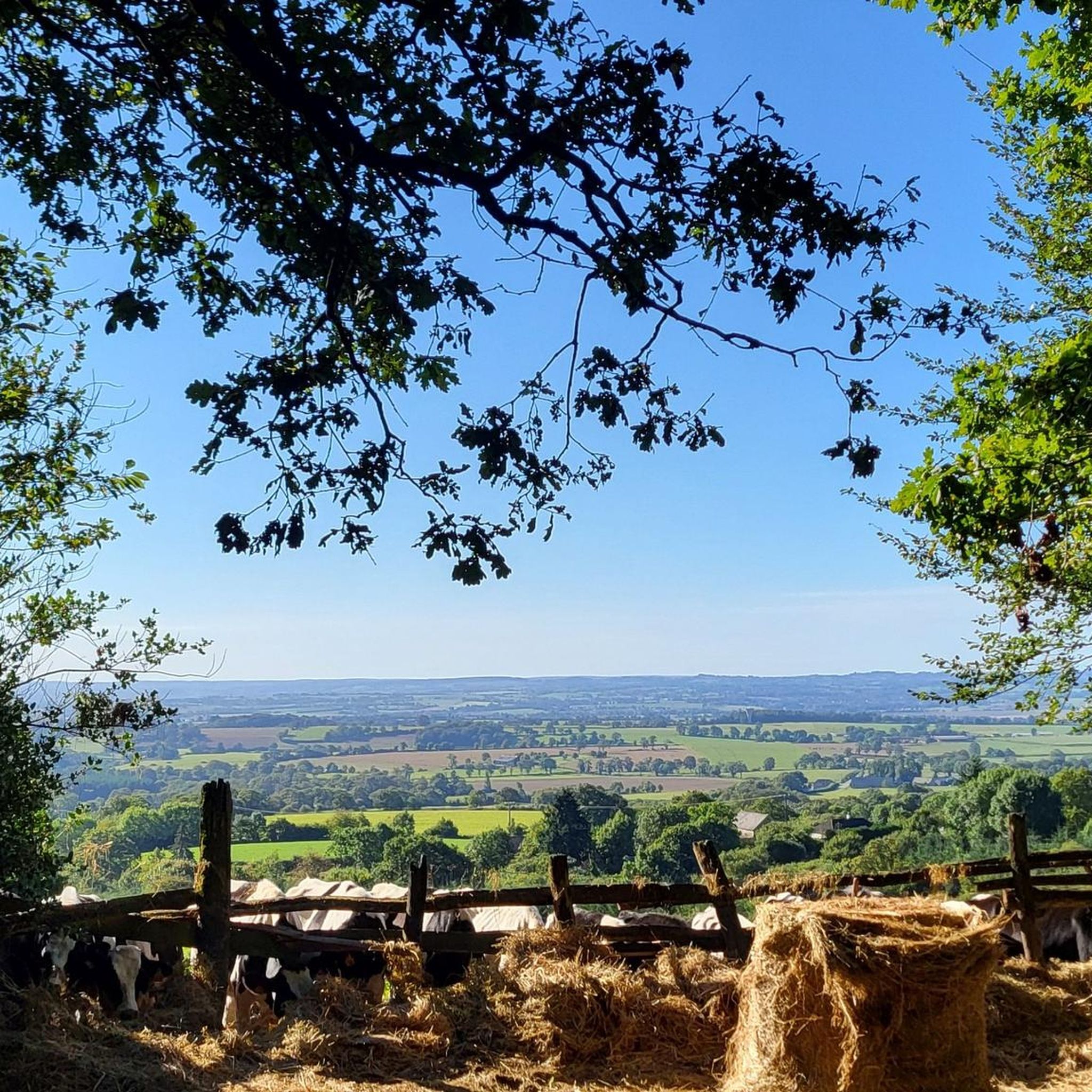
Beautiful 360 degree view
1
0

Located in Mayenne, Mont des Avaloirs is the highest point of the Armorican massif. It is part of the Normandy-Maine Regional Natural Park and enjoys the status of a Global Geopark. The belvedere, built in 1994 and covered with a magnificent colorful fresco, painted in 2019 by the Franco-British artist Seb Toussaint. It offers a 360° view of all the surrounding forests and peaks.
0
0

The Multonne forest is a forest which extends over two regions of France: Mayenne and Orne. This forest is part of the Normandy-Maine regional natural park and the Armorican Massif, a mountain range dating from the Paleozoic era. You can enjoy the panorama from Mont des Avaloirs, the highest point in the forest and in the west of France, at an altitude of 416 meters1. The forest is also home to many species of birds and plants, some of which are protected by the Natura 2000 network. The Multonne Forest is a privileged place to discover the natural and cultural heritage of France.
2
0

From its height of 416 meters, Mont des Avaloirs is the highest point of the Armorican Massif. At the top there is a belvedere which offers a 360 degree panorama.
2
0
Frequently Asked Questions
How many touring cycling routes are available around Crennes-Sur-Fraubée?
There are over 60 touring cycling routes in the Crennes-Sur-Fraubée area. These routes cater to various skill levels, including 5 easy, 26 moderate, and 30 difficult options.
What kind of terrain can I expect on touring cycling routes in Crennes-Sur-Fraubée?
The region is characterized by its green, undulating terrain, typical of the Armoric Massif. You'll cycle through diverse landscapes including extensive deciduous forests like Forêt de Pail, wetlands, and meadows. Expect varied conditions, from gentle paths to more challenging ascents.
Are there any easy or family-friendly touring cycling routes in the area?
Yes, there are 5 easy touring cycling routes available, which are generally suitable for beginners or families. The broader Mayenne region also features an extensive network of greenways, often utilizing former railway lines, which provide relaxed and safe cycling experiences through unspoiled landscapes and charming villages.
What are some challenging routes for experienced touring cyclists?
Experienced touring cyclists will find plenty of challenges with 30 difficult routes. For instance, the Corniche of Pail – Corniche de Pail loop from Villaines-la-Juhel is a difficult 46.9 km route with significant elevation gain through the Pail forest. Another demanding option is the Chain ferry crossing – Saint-Léonard-des-Bois loop from Villaines-la-Juhel, a 64.2 km path that includes a scenic ferry crossing and varied terrain.
What scenic viewpoints can I discover on a touring cycling route?
The most prominent scenic viewpoint is the Mont des Avaloirs viewpoint, the highest point in western France at 416 meters, offering expansive panoramic views. You can reach it via routes like the Mont des Avaloirs viewpoint – Pré-en-Pail loop from Les Perles.
Are there any notable natural features or landmarks to see while cycling?
Yes, the region is part of the Normandie-Maine Regional Natural Park and Geopark. Besides the Mont des Avaloirs, you might encounter ecological sites like the Tourbière des Égoutelles. The Mayenne River Valley, with its tranquil atmosphere, is also a beautiful feature, often followed by greenways.
Are there any circular touring cycling routes available?
Many of the touring cycling routes in the area are loops, allowing you to start and end at the same point. Examples include the Corniche of Pail – Corniche de Pail loop from Villaines-la-Juhel and the Pearl Pond loop from Villaines-la-Juhel.
What do other touring cyclists enjoy most about cycling in Crennes-Sur-Fraubée?
The area is highly rated by the komoot community, with an average score of 4.25 stars. Cyclists often praise the varied terrain, the extensive forests, and the panoramic viewpoints like Mont des Avaloirs, which offer a rewarding experience.
What is the best time of year for touring cycling in Crennes-Sur-Fraubée?
The region's verdant landscape is particularly appealing during spring and summer when the forests are lush and the weather is generally mild. Autumn also offers beautiful scenery with changing leaf colors. Always check local weather conditions before heading out.
Can I find places to eat or drink along the touring cycling routes?
While specific cafes are not listed for every route, the surrounding villages and towns, such as Pré-en-Pail or Saint-Léonard-des-Bois, offer local amenities where you can find refreshments. The region is known for its local heritage and specialities, providing opportunities to stop and refuel.
Are there opportunities for wildlife spotting while cycling?
Cycling through the diverse forests, wetlands, and meadows of the Normandie-Maine Regional Natural Park offers good opportunities for wildlife spotting. The varied habitats support a range of local flora and fauna, making for an engaging natural experience.
Most popular routes around Crennes-Sur-Fraubée
Most popular attractions around Crennes-Sur-Fraubée

Get inspired with the komoot mobile app


Explore more
Browse the best Cycling routes in other regions.
