The best road cycling routes around Saint-Laurent-De-Cuves
4.7
(7)
249
riders
81
rides
Road cycling routes around Saint-Laurent-De-Cuves traverse a landscape characterized by rolling hills, woodlands, and picturesque countryside in the Manche department of Normandy, France. The region offers varied terrain with elevations ranging from 32 to 226 meters, providing diverse gradients for cyclists. Riders can expect to encounter green, rural scenery and country lanes throughout their journeys.
Best road cycling routes around Saint-Laurent-De-Cuves
- The most popular road cycling route is Bois du Parc loop from Les Lardières, a 34.1 miles (54.9…
Last updated: May 24, 2026
16
riders
54.9km
02:22
510m
510m
Moderate road ride. Good fitness required. Mostly well-paved surfaces and easy to ride.
14
riders
Moderate road ride. Good fitness required. Mostly well-paved surfaces and easy to ride.

Sign up for free
10
riders
47.1km
02:13
530m
530m
Moderate road ride. Good fitness required. Mostly well-paved surfaces and easy to ride.
7
riders
67.9km
03:21
910m
910m
Hard road ride. Very good fitness required. Mostly well-paved surfaces and easy to ride.
11
riders
69.0km
02:58
540m
540m
Moderate road ride. Good fitness required. Mostly well-paved surfaces and easy to ride.
Get access to more routes and recommendations from other explorers.
Sign up for free
Already have an account?
Our route recommendations are based on thousands of hikes, rides, and runs completed by other people on komoot.
Start today with a free account
Your next adventure awaits.
Login or Signup


Tips from the Community

Astounding small sculpture park which you can freely wander round. Nice clean bench at the top, from which you can enjoy the view over the landscape. Munch your snack and sup your drink and revel in having got to the high-point of this tour.
0
0

The “Pont Gilbert - Passerelle de la Sée” is a pedestrian and bicycle bridge that connects Avranches and Marcey-les-Grèves. This bridge is located on the site of a historic bridge and has a ramp for a gentle climb and easy crossing to the other side of the river. It is a very useful bridge and recommended by cyclists. The bridge is also one of the highlights in the Vernix region.
4
0

Beautiful cemetery with a beautiful church
1
0

There is a beautifully designed cemetery around the village church.
2
0

At the site of the historic bridge there is now a very useful pedestrian and cycle bridge with a ramp for gently climbing and crossing to the other side of the small river.
2
0

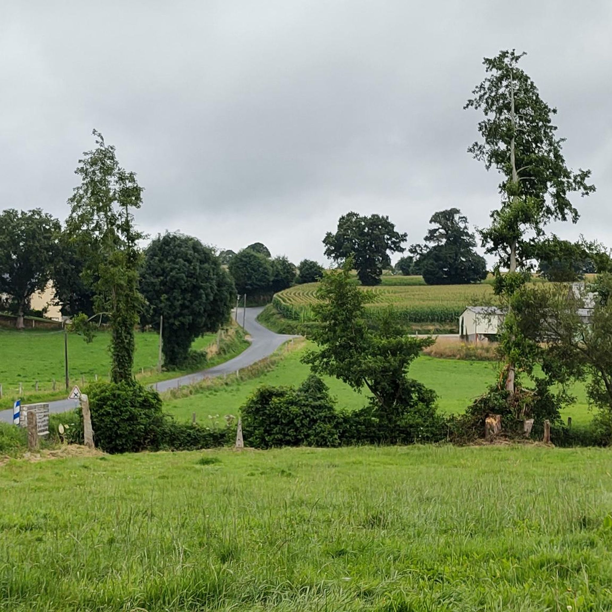
To the north-west of Petit-Celland, this road on the blue rectangle route linking Vire to Genêts offers a lovely view of the Sée valley. The trees that punctuate it provide significant shade for your summer walks.
1
0
Very sparsely populated, this town nevertheless has several attractions, starting with its pretty belvedere from the church. Further north is also the charming little chapel of Nouettes. But the emblematic place of the village is most certainly the park-museum of granite. In the first half of the 20th century, a hundred quarries were exploited on the municipal territory. No wonder Saint-Michel-de-Montjoie was chosen to host this museum which traces the history of the region's granite, Bleu de Vire.
3
0

Small paved cycle path that spans the Sée with the lock. Quiet and practical, it passes without problem on a road bike.
0
0
Frequently Asked Questions
How many road cycling routes are available in Saint-Laurent-De-Cuves?
There are over 70 road cycling routes around Saint-Laurent-De-Cuves, offering a wide variety of options for different skill levels and preferences.
What kind of terrain can I expect when road cycling around Saint-Laurent-De-Cuves?
The region around Saint-Laurent-De-Cuves is characterized by a mix of rolling hills, woodlands, and picturesque countryside. You'll find varied gradients, with elevations ranging from 32 to 226 meters, providing both challenging climbs and scenic, moderate stretches through lush, green landscapes.
What are the difficulty levels of road cycling routes in Saint-Laurent-De-Cuves?
The routes cater to all abilities. There are 8 easy routes, 57 moderate routes, and 6 difficult routes, ensuring options for beginners, intermediate riders, and experienced cyclists looking for a challenge.
Are there any circular road cycling routes in the area?
Yes, many routes in the region are circular. For example, the Bois du Parc loop from Les Lardières is a popular moderate option, and the more challenging Tertre de Montigny – Saint-Michel-de-Montjoie loop from Brécey also offers a circular path.
What natural features or landmarks can I see along the road cycling routes?
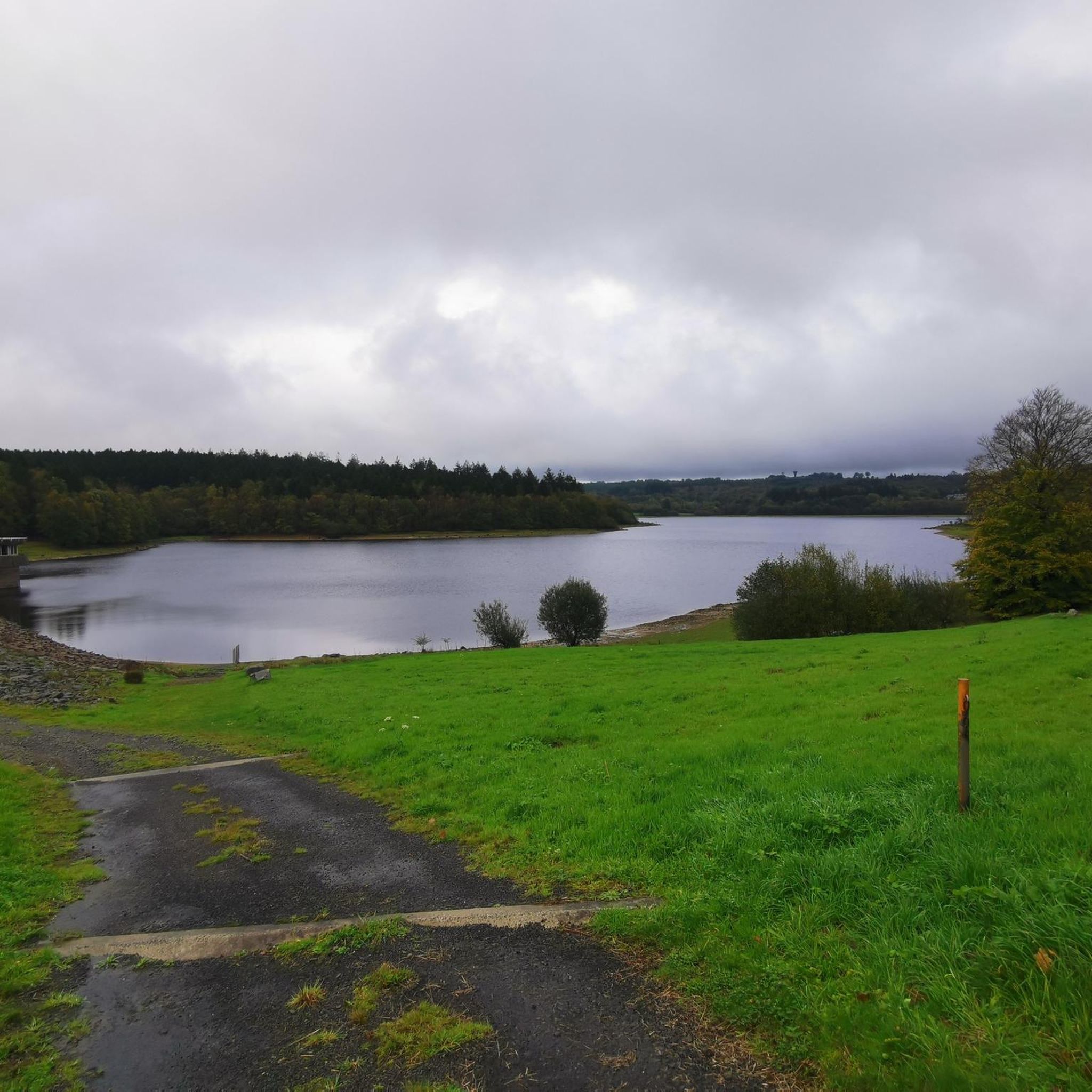
You can explore various natural features. Routes might take you near Lac du Gast or the Étang de Coulanges. The broader region offers proximity to sites like Forêt de Saint-Sever and the Couesnon River and Estuary, providing diverse scenery.
Are there any historical sites or points of interest accessible by road bike?
Yes, you can cycle past charming settlements like Saint-Michel-de-Montjoie or discover historical elements such as the Motte Castrale and Étang du Vieux Château. The Chapelle des Nouettes is another point of interest.
Is Saint-Laurent-De-Cuves suitable for family road cycling?
While many routes feature rolling hills, there are 8 easy routes that could be suitable for families, depending on their experience level. Look for routes with lower elevation gain and shorter distances for a more family-friendly experience.
What is the best time of year for road cycling in Saint-Laurent-De-Cuves?
The spring and summer months generally offer the most pleasant weather for road cycling in Normandy, with milder temperatures and longer daylight hours. However, the green landscapes are beautiful throughout the warmer seasons.
Are there options for longer distance road cycling routes near Saint-Laurent-De-Cuves?
Absolutely. Several routes offer significant distances, such as the Tertre de Montigny – Saint-Michel-de-Montjoie loop from Brécey at 42.2 miles (67.9 km) or the Sée Valley loop from Les Cresnays, which is 68.9 km long.
What do other cyclists say about road cycling in Saint-Laurent-De-Cuves?
The area is highly rated by the komoot community, with an average score of 4.6 stars from over 5 reviews. More than 300 road cyclists have used komoot to explore the varied terrain, often praising the picturesque countryside and green scenery.
How can I find easy road cycling routes in Saint-Laurent-De-Cuves?
You can filter routes by difficulty on komoot to find the 8 easy road cycling routes available. These typically feature less elevation gain and shorter distances, perfect for a relaxed ride.
Are there any advanced road cycling challenges in the area?
Yes, for experienced cyclists seeking a challenge, there are 6 difficult routes. These routes often feature significant elevation gains and longer distances, such as the Tertre de Montigny – Saint-Michel-de-Montjoie loop from Brécey, which includes over 900 meters of ascent.
Most popular routes around Saint-Laurent-De-Cuves
Most popular attractions around Saint-Laurent-De-Cuves

Get inspired with the komoot mobile app


Explore more
Browse the best Road cycling routes in other regions.
