The best walks and hikes around La Gripperie-Saint-Symphorien
4.5
(102)
825
hikers
20
hikes
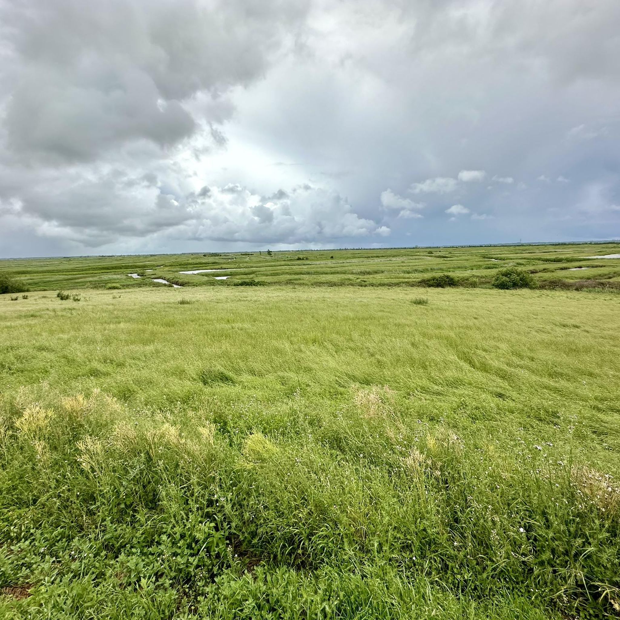
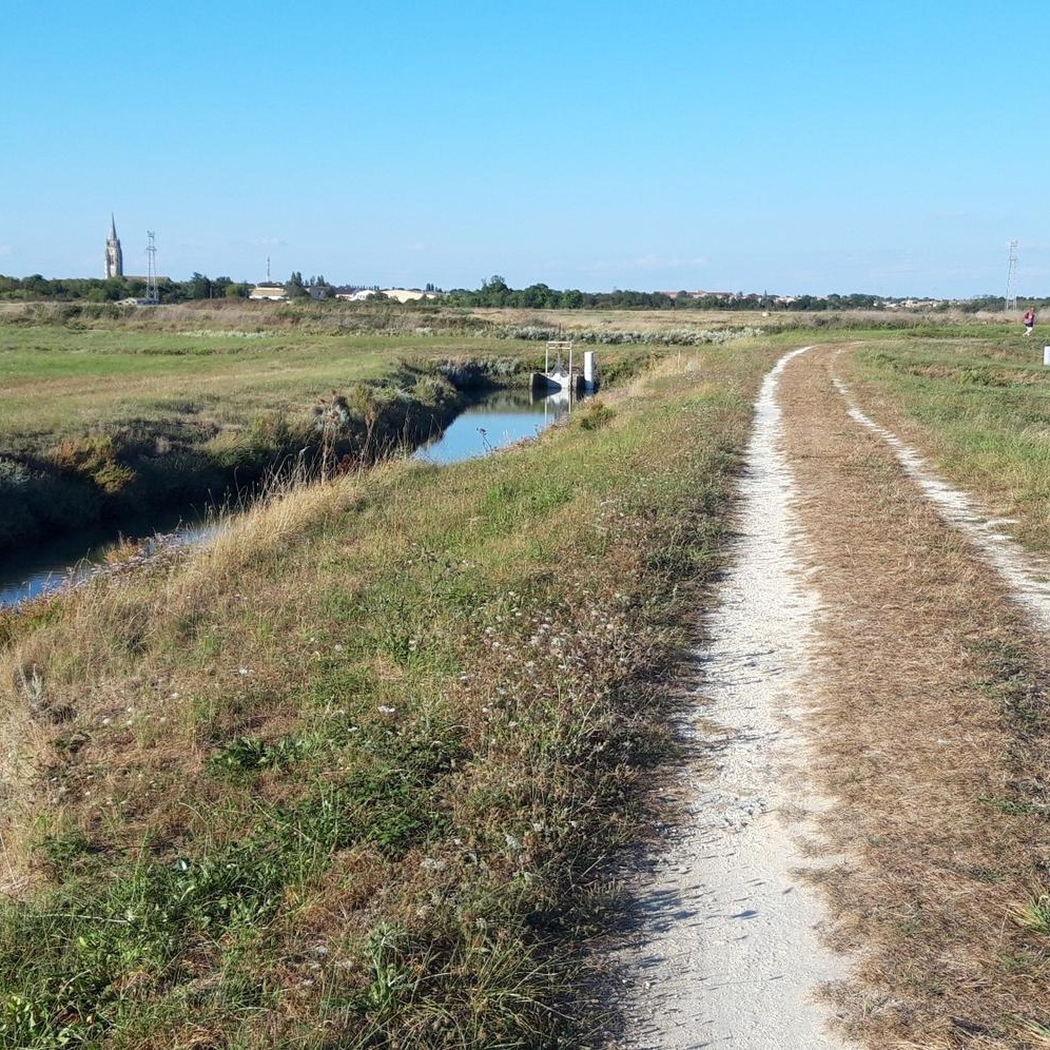
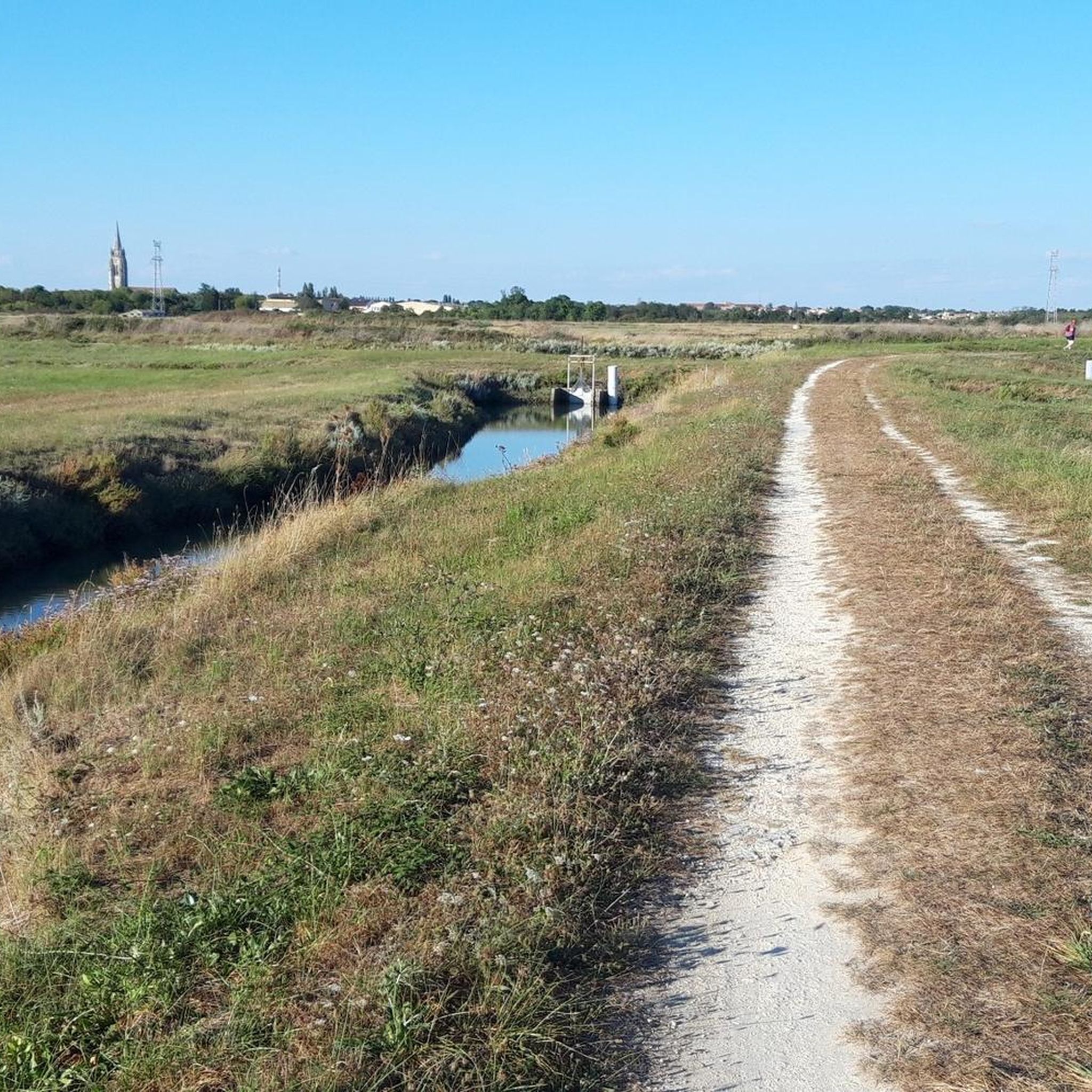
Hiking around La Gripperie-Saint-Symphorien offers access to diverse landscapes within the Charente-Maritime department. The region is characterized by significant marshlands, including the Brouage Marsh, and features slightly hilly terrain suitable for walking. Sparse copses and wooded areas are present, alongside historical sites like the Brouage Citadel and the Saint-Symphorien church, providing varied backdrops for outdoor activities.
Best hiking trails around La Gripperie-Saint-Symphorien
- The most popular hiking route is Romanesque Church of St. Symphorien – The castle loop from Saint-Jean-d'Angle,…
Last updated: May 20, 2026
4.7
(9)
33
hikers
Moderate hike. Good fitness required. Easily-accessible paths. Suitable for all skill levels.
4.8
(5)
22
hikers
11.6km
02:55
10m
10m
Moderate hike. Good fitness required. Easily-accessible paths. Suitable for all skill levels.

Sign up for free
4.0
(4)
20
hikers
5.01km
01:16
10m
10m
Easy hike. Great for any fitness level. Easily-accessible paths. Suitable for all skill levels.
5.0
(2)
11
hikers
6.63km
01:40
0m
0m
Easy hike. Great for any fitness level. Easily-accessible paths. Suitable for all skill levels.
4
hikers
12.5km
03:10
20m
20m
Moderate hike. Good fitness required. Easily-accessible paths. Suitable for all skill levels.
Get access to more routes and recommendations from other explorers.
Sign up for free
Already have an account?
Our route recommendations are based on thousands of hikes, rides, and runs completed by other people on komoot.
Start today with a free account
Your next adventure awaits.
Login or Signup

Tips from the Community

It's incredible how many animals you can see there: storks, herons, egrets, mallards, not to mention the coypus (which we call "nutria"), which are legion. I was lucky enough to see three beautiful roe deer and a few hares and other wild rabbits. A real delight.
0
0

The port of Ribérou is a major heritage site in Saujon, bearing witness to a prosperous maritime past linked to the salt and wine trade. Transformed in the 19th century by ambitious works, it has now been reinvented as a place for living, relaxation, and preserving local history. 🛶 Origins and the Middle Ages The port of Ribérou takes its name from the Latin word ripa ("riverbank") or the Occitan word ribèira ("river"). It is located at the head of the Seudre estuary. It existed as early as the 11th century and became an important river and sea port thanks to its strategic position at the head of the estuary, used particularly for the salt trade—then called "white gold"—a highly sought-after product for preserving food. 🚢 Medieval Period and International Trade With the opening of British markets during the reigns of Eleanor of Aquitaine and Henry II Plantagenet, ships laden with wool, salt, wine, and other goods flocked to Ribérou. In the 16th century, the port exported local wines (such as cognac and pineau) throughout Europe. In 1577, during the Wars of Religion, the port was a strategic site: troops were stationed there, and battles took place. 🏗️ Decline, Reconstruction, and the 19th Century The estuary gradually silted up, making navigation difficult. By 1691, only smaller vessels could dock there. During the French Revolution, the sale of the tidal mill, which helped remove sediment, worsened the silting, leading to the port's decline. A modernization project began in 1822, but it wasn't until 1839 that an ambitious program was launched under the impetus of Jules Dufaure—a native of Saujon and Minister of Public Works—with the construction of sturdy quays, slipways, a lock bridge (marking the boundary between fresh and salt water), and reception facilities. In 1842, the work was completed, and the main quay was named Quai Dufaure in honor of this political support. 📉 Gradual Decline and Modernization The arrival of the railway in 1876 and the persistent problems of silting led to a decline in the port's traditional commercial activity, already facing competition from other transport networks. In the 20th century, the port gradually lost its economic importance but remained active for traditional fishing and became a place for pleasure boating, leisure, and local culture. Urban and tourism development projects (particularly in 2011–2012) modernized the port while preserving its historical charm. 🌊 Today The port of Ribérou is now a small fishing and pleasure port, much appreciated for its walks along the Seudre River, water sports (canoeing, kayaking, paddleboarding, etc.), and seasonal events.
0
0


Pleasant walk in the autumn sun....a good balance between roads and paths....
0
0
The port of Ribérou is a fishing and pleasure port located at the end of the Seudre estuary, in Saujon. It is one of the two ports in the city, along with that of Breuil, a little downstream. Active since the 11th century, it took on its current appearance from 1842, under the impetus of the Minister of Public Works at the time, Jules Dufaure, a "local boy", who thus attempted to revive maritime trade and fishing activities, which were then in decline. Ideally located, on the edge of the city center, the La Lande leisure center and the preserved areas of the Seudre marshes (towpaths transformed into walking trails), it has become one of the major tourist attractions in Saujon, where theme evenings and the July 14 fireworks are organized. In 2011, the municipality began a renovation program for the port site, entrusted to the architect-urban planner Sophie Blanchet. It consists of transforming the old car parks into a pedestrian esplanade, a real meeting place with modern street furniture and, in the long term, green spaces. From the quays, lined with bourgeois buildings, small picturesque streets lined with hollyhocks allow you to crisscross the district and reach the city centre. The Ribérou lock bridge, known as the "bridge of opposing waters", was renovated in 2010. It marks the separation between the waters of the estuary (port side: brackish water) and the waters of the river (retention basin side: fresh water). Ribérou is a starting point for certain water sports (canoeing and kayaking). It is approximately 250 metres long and 40 metres wide. From Ribérou, it is possible to reach successively the ports of Breuil (Saujon), L'Éguille, Mornac, Chaillevette, Chatressac (Chaillevette), Grandes Roches and Orivol (Étaules), La Grève in Duret and Coux (Arvert), La Grève (La Tremblade) and La Cayenne (Marennes).
0
0

Very nice walk where the reward is at the end of the path.
0
0
small round trip between the éguille and Ribérou
0
0
Frequently Asked Questions
How many hiking trails are available around La Gripperie-Saint-Symphorien?
There are 17 hiking routes available around La Gripperie-Saint-Symphorien. These include 6 easy trails and 11 moderate excursions, offering a range of options for different fitness levels.
What kind of landscapes can I expect to see while hiking here?
The region is characterized by significant marshlands, including the Brouage Marsh, and features slightly hilly terrain. You'll also find sparse copses and wooded areas, providing diverse backdrops for your walks. Some routes, like the Romanesque Church of St. Symphorien loop from La Gripperie-Saint-Symphorien, lead directly through these marsh environments.
Are there any easy hiking trails suitable for beginners or a relaxed walk?
Yes, there are 6 easy trails in the area. A great option for a relaxed walk is the Pointe de l'Éguille loop from L'Éguille, which is 5.5 km long and offers pleasant views near the coast. Another easy choice is the Fun routes loop from Rochefort, spanning 6.6 km.
What historical sites or landmarks can I explore on a hike?
The area is rich in history. You can hike around the historic Brouage Citadel, a former salt trading port now surrounded by marshes. The Romanesque Church of St. Symphorien – The castle loop from Saint-Jean-d'Angle specifically passes historical sites, including the Romanesque-style Saint-Symphorien church itself.
Are there any circular walks available?
Yes, many of the trails are circular, allowing you to start and end at the same point. For example, the Romanesque Church of St. Symphorien loop from La Gripperie-Saint-Symphorien is an 18.7 km circular route through marshlands and local landmarks.
What do other hikers say about the trails in La Gripperie-Saint-Symphorien?
The trails in La Gripperie-Saint-Symphorien are highly rated by the komoot community, with an average score of 4.5 stars from over 100 reviews. Hikers often praise the diverse terrain, from marshlands to historical sites, and the well-maintained paths suitable for various abilities.
Can I spot any wildlife while hiking in the area?
Yes, the marshlands and wooded areas provide opportunities for wildlife spotting. The Massonne Nature Reserve, which some trails pass alongside, is known for its unique ecosystems. Traces of deer and wild boar have been observed on paths in the sparse copses.
Are there any trails that offer coastal views?
While La Gripperie-Saint-Symphorien is inland, its proximity to the coast means that coastal paths are accessible within the wider Charente-Maritime area. The Pointe de l'Éguille loop from L'Éguille is an easy path that offers views near the coast, providing a glimpse of the dramatic seascapes.
What is the typical duration for a moderate hike in this region?
Moderate hikes in La Gripperie-Saint-Symphorien can vary in duration. For instance, the Romanesque Church of St. Symphorien – The castle loop from Saint-Jean-d'Angle, which is 12.6 km, typically takes about 3 hours and 15 minutes to complete. A longer moderate route, like the 18.7 km Romanesque Church of St. Symphorien loop from La Gripperie-Saint-Symphorien, usually takes around 4 hours and 51 minutes.
Are there any hikes that follow canals or waterways?
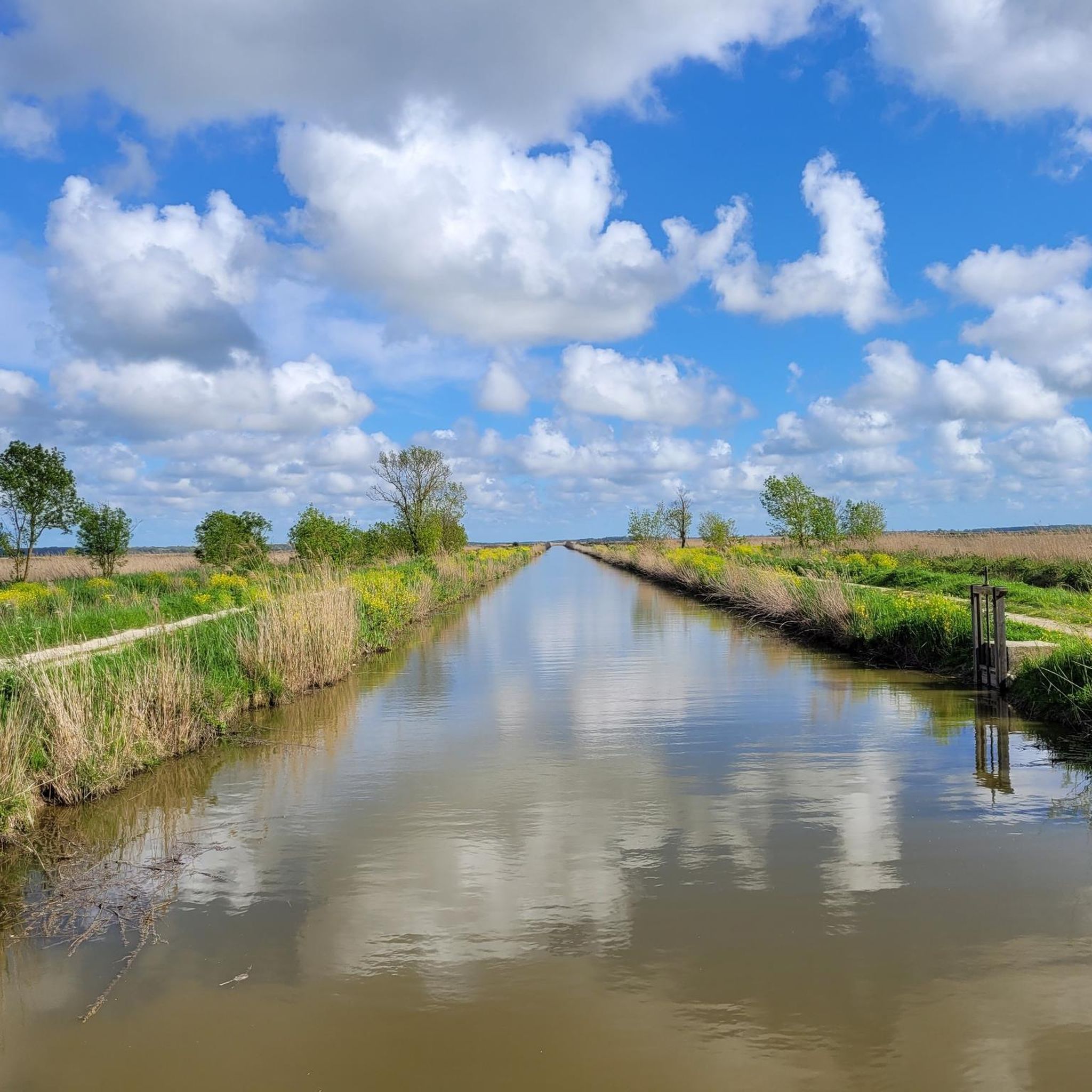
Yes, the region's marshland character means some routes incorporate waterways. The Along the Canals – Hiers loop from Marennes-Hiers-Brouage is a moderate 12.5 km trail that guides you along canals, offering a unique perspective of the local landscape.
What are some other natural attractions near the hiking trails?
Beyond the general marshlands, you can explore specific natural areas like the Mornac-sur-Seudre Marshes, which are historically important for oyster farming and salt mining. These areas provide unique ecosystems and serene environments for walking.
Most popular routes around La Gripperie-Saint-Symphorien
Most popular attractions around La Gripperie-Saint-Symphorien

Get inspired with the komoot mobile app


Explore more
Browse the best Hikes in other regions.
