The best walks and hikes around Annezin
4.5
(815)
5,079
hikers
394
hikes
Hiking trails around Annezin are characterized by preserved natural areas, including marshlands and forest massifs. The region offers varied terrain, from the serene Marais d'Annezin to the extensive Parc d'Olhain, which spans a 450-hectare forest. These landscapes provide a range of hiking experiences, from gentle strolls to more challenging treks. The area's proximity to Béthune also allows for routes along canals and through former industrial sites.
Best hiking trails around Annezin
- The most popular hiking route is Bois de Roquelaure…
Last updated: November 2, 2026
4.8
(45)
73
hikers
9.01km
02:20
50m
50m
Moderate hike. Good fitness required. Easily walkable paths.
4.2
(21)
78
hikers
27.1km
07:10
260m
260m
Hard hike. Very good fitness required. Easily walkable paths.

4.6
(8)
23
hikers
11.1km
02:50
40m
40m
Moderate hike. Good fitness required. Easily walkable paths.
5.0
(1)
24
hikers
12.7km
03:14
30m
30m
Moderate hike. Good fitness required. Easily walkable paths.
4.3
(4)
15
hikers
9.36km
02:24
40m
40m
Moderate hike. Good fitness required. Easily walkable paths.
Get access to more routes and recommendations from other explorers.
Already have an account?
Our route recommendations are based on thousands of hikes, rides, and runs completed by other people on komoot.
Start today with a free account
Your next adventure awaits.
Tips from the Community

view of Béthune from the Fouquereuil spoil heap
0
0
Also known as "terril de la cuisse maraine" (the slag heap of the thigh maraine), a slag heap where nature has reclaimed its rights, dotted with small paths.
0
0

Popular with local anglers. Beautiful location.
0
0
Annezin Communal Cemetery contains 12 First World War burials and five from the Second World War.
0
0
Magnificent, unspoiled natural setting, ideal for walks and hikes. Departure from the "cuisse maraune" (Maraune thigh) to the Chartreuses de Gosnay and the Bois des Dames de Bruay-la-Buissière. Open year-round. Fishing and hiking. Free access.
0
0

Small, easy-going single track that can be done on gravel and mountain bikes.
2
0

Terril nice is not too fat, especially at the moment :)
0
0

Very good place with great paths
0
0
Frequently Asked Questions
How many hiking trails are available around Annezin?
There are over 10 hiking routes around Annezin, offering a variety of experiences from easy strolls to more challenging treks. The komoot community has explored these trails over 3,800 times, providing an average rating of 4.5 stars.
Are there easy hiking options suitable for beginners or families in Annezin?
Yes, Annezin offers several easy hiking options. Out of the available routes, 10 are classified as easy, perfect for beginners or family outings. An example is the Former Vendin station – The bridge above the port loop from Béthune, a 4.1-mile (6.6 km) trail that takes about 1 hour 40 minutes to complete.
What natural areas can I explore while hiking near Annezin?
The region around Annezin is rich in preserved natural areas. You can explore the serene Marais d'Annezin, a marshland perfect for leisurely walks, or venture into the extensive Parc d'Olhain, a 450-hectare forest massif offering diverse trails. The Marais d'Annezin is open year-round for free access. For more information on the Marais d'Annezin, you can visit tourisme-bethune-bruay.fr, and for Parc d'Olhain, see pas-de-calais-tourisme.com.
Are there any circular hiking routes in Annezin?
Yes, many of the hiking routes around Annezin are circular, allowing you to start and end at the same point. For instance, the Terril de Fouqureuil loop from Fouquereuil is a moderate 5.7-mile (9.2 km) circular path offering views of the surrounding countryside and former industrial sites.
What kind of landmarks or attractions can I see along the hiking trails?
Hiking trails around Annezin often lead past interesting landmarks and natural features. You might encounter former mining landscapes, known as 'terrils,' such as Terril Number 5 of Lapugnoy or Terril de Fouqureuil. Other points of interest include historical sites like The facades of the main square in Béthune or Robecq Church.
Are there any moderate hiking trails for those looking for a bit more challenge?
Absolutely. Annezin offers 3 moderate hiking trails for those seeking a slightly more challenging experience. A popular choice is The canal With its dam – Former Vendin station loop from Béthune, an 8.2-kilometer (5.1-mile) route that takes approximately 2 hours and 7 minutes to complete.
What do other hikers enjoy most about hiking in Annezin?
The hiking routes in Annezin are highly rated by the komoot community, with an average score of 4.5 stars from over 600 reviews. Hikers often praise the varied terrain, which includes serene marshlands, extensive forest massifs, and unique former mining landscapes, providing a diverse and engaging outdoor experience.
Are there any long-distance or more difficult hiking routes available?
For experienced hikers looking for a significant challenge, there is at least one difficult route available. The Bois de Roquelaure – Terril Number 5 of Lapugnoy loop from Fouquereuil is a demanding 16.7-mile (26.9 km) trail that typically takes over 7 hours to complete, exploring varied terrain including former mining sites.
Can I find trails that are suitable for dog walking in Annezin?
While specific dog-friendly designations for each trail are not always noted, the natural areas like the Marais d'Annezin and Parc d'Olhain generally welcome dogs, often requiring them to be on a leash. It's always recommended to check local regulations or signage at trailheads for the most current information regarding pets.
Are there hiking trails accessible by public transport in Annezin?
Many trails in the Annezin region, especially those closer to urban centers like Béthune, may be accessible via public transport. For example, routes like the Former Vendin station – The bridge above the port loop from Béthune start near Béthune, which has public transport connections. It's advisable to check local bus or train schedules to specific starting points.
Are there hiking routes that offer views of canals or waterways?
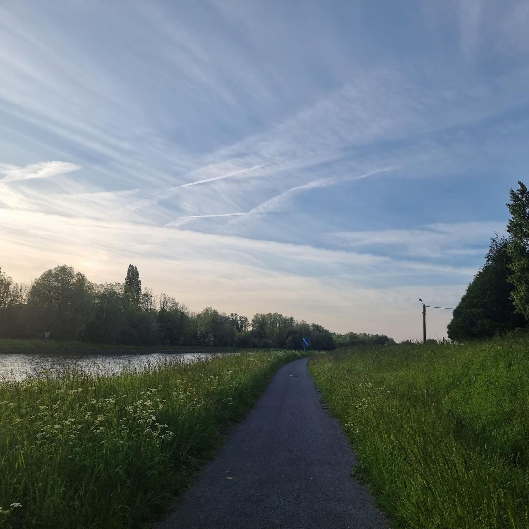
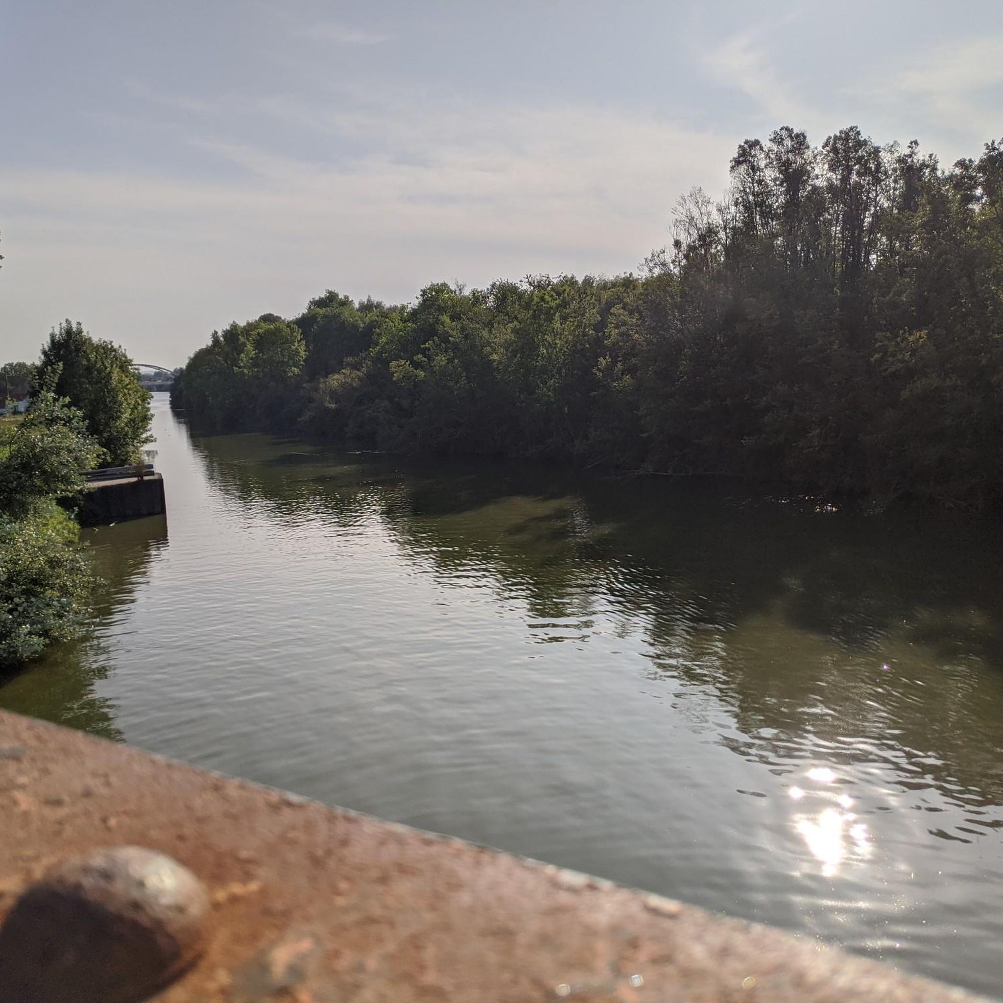
Yes, some hiking routes in the Annezin area, particularly those closer to Béthune, follow canals and offer pleasant waterside views. The The canal With its dam – Former Vendin station loop from Béthune is an example of a route that incorporates canal sections into its path.
What is the typical elevation gain on hikes around Annezin?
The elevation gain on hikes around Annezin varies significantly depending on the trail's difficulty and length. Easy routes, such as Thr First – Bridge of the D180 loop from Hinges, have minimal elevation changes (around 3.7 meters). More challenging routes, like the Bois de Roquelaure – Terril Number 5 of Lapugnoy loop from Fouquereuil, can involve over 250 meters of ascent, reflecting the region's varied terrain including former industrial sites and natural hills.
Most popular attractions around Annezin

Get inspired with the komoot mobile app


Explore more
Browse the best Hikes in other regions.
