The best road cycling routes around Montboudif
4.9
(56)
1,372
riders
74
rides
Road cycling routes around Montboudif are characterized by the region's volcanic origins and varied topography within the Massif Central. Cyclists navigate roads that wind through the green slopes of the Auvergne volcanoes, offering a mix of climbs and descents. The area features unspoilt forests, winding rivers, and dramatic glacial valleys, providing a dynamic backdrop for rides. Altitudes range from 580 to 1111 meters, ensuring engaging terrain for road cyclists.
Best road cycling routes around Montboudif
- The most popular road cycling…
Last updated: October 3, 2026
5.0
(2)
10
riders
50.6km
02:35
820m
810m
Moderate road ride. Good fitness required. Mostly well-paved surfaces and easy to ride.
5.0
(1)
4
riders
51.2km
02:46
890m
890m
Moderate road ride. Good fitness required. Mostly well-paved surfaces and easy to ride.

5.0
(3)
28
riders
62.6km
03:09
1,010m
1,010m
Hard road ride. Very good fitness required. Mostly well-paved surfaces and easy to ride.
4.8
(5)
47
riders
86.8km
04:26
1,460m
1,460m
Hard road ride. Very good fitness required. Mostly well-paved surfaces and easy to ride.
18
riders
40.4km
02:08
770m
770m
Moderate road ride. Good fitness required. Mostly well-paved surfaces and easy to ride.
Get access to more routes and recommendations from other explorers.
Already have an account?
Our route recommendations are based on thousands of hikes, rides, and runs completed by other people on komoot.
Start today with a free account
Your next adventure awaits.
Tips from the Community

very pretty pass typical of Cezallier
1
0
Pleasant and fairly easy. Beautiful route.
0
0

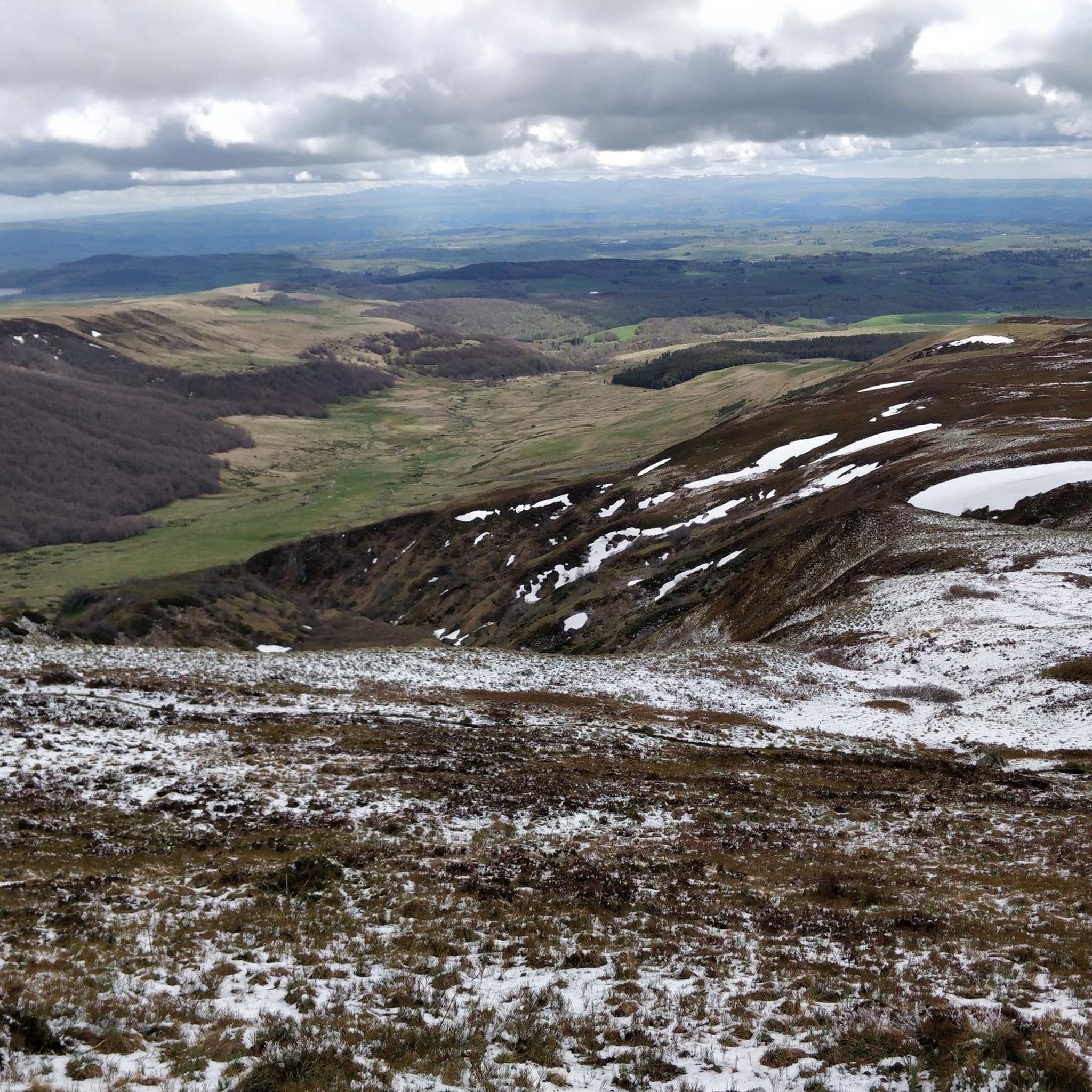
Beautiful Cézalier pass with a view of the Sancy massif
0
0

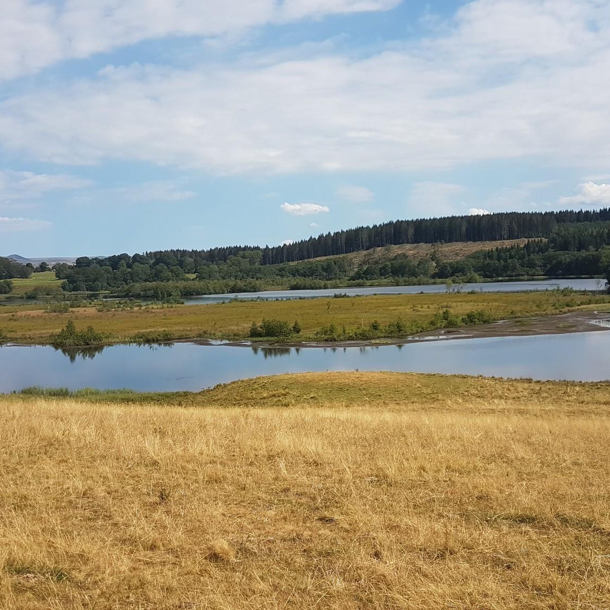
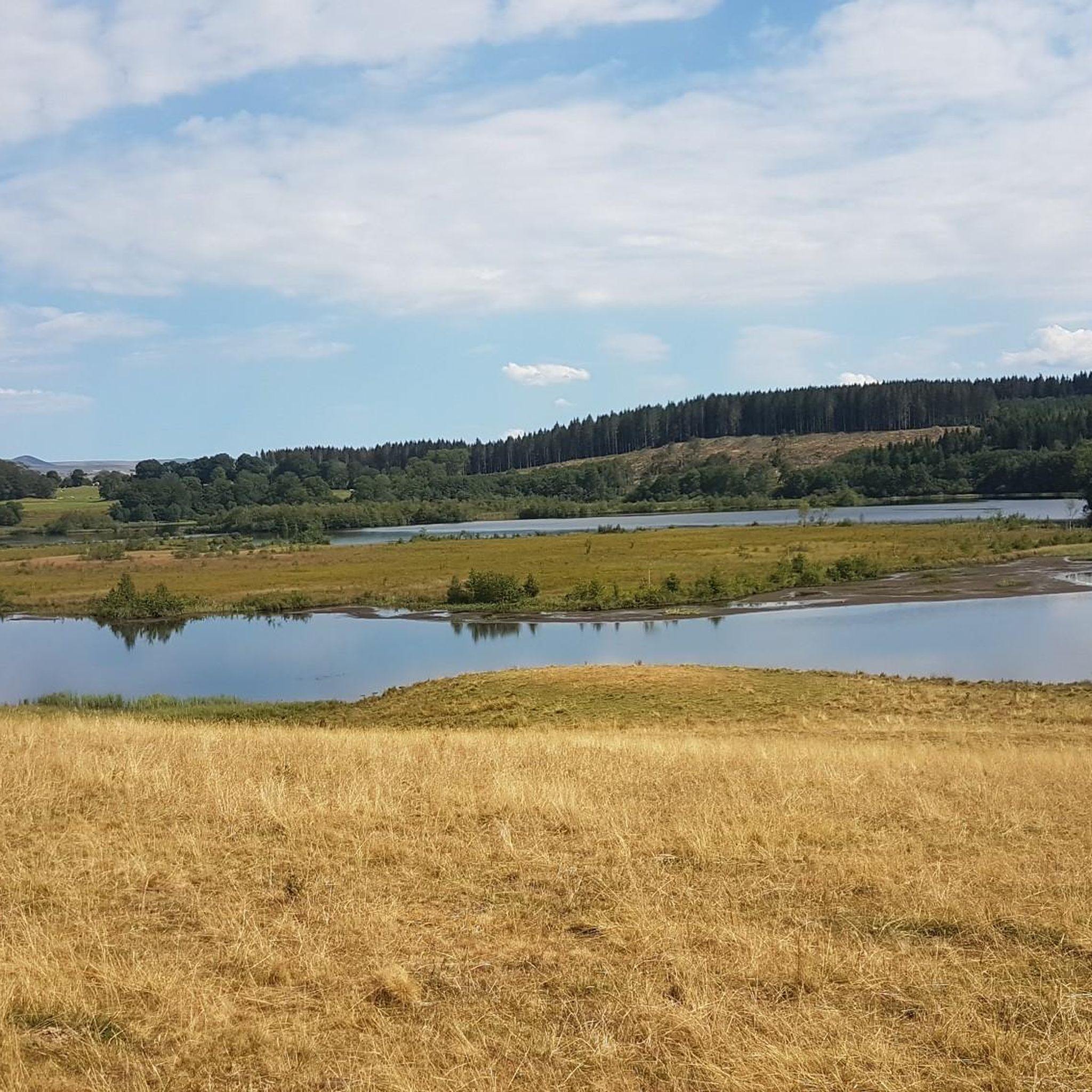
Unobstructed view of Lake Lastouille, which is very popular for swimming and fishing. It is entirely bordered by forests and summer pastures and is one of the largest water reservoirs in the Dordogne basin. Absolutely perfect for a dip in hot weather!
0
0

We enjoy beautiful views by following the small picturesque road, from the green gorges to the wooded slopes which run along the river.
0
0
At 1,000 meters above sea level, the Cézalier plateaus were formed with curves and bumps by glaciers.
0
0

Located next to Saint Alyre Es Montagne, the top of the pass offers us a view of Le Mont Chabrut and Le Luguet. The highest point is 1227 meters above sea level. This climb is 16.6 kilometers long, for an elevation gain of 628 meters. Col de la Volpilière from Ardes has an average gradient of 3.8%.
0
0
Frequently Asked Questions
How many road cycling routes are available around Montboudif?
There are over 60 road cycling routes available around Montboudif, catering to various skill levels. This includes 4 easy routes, 35 moderate routes, and 28 difficult routes, ensuring options for every cyclist.
What kind of terrain can I expect on road cycling routes in Montboudif?
Montboudif's road cycling routes are defined by the region's volcanic origins and varied topography. You'll navigate roads winding through the green slopes of the Auvergne volcanoes, experiencing a mix of climbs and descents. The area features unspoilt forests, winding rivers, and dramatic glacial valleys, providing a dynamic and engaging backdrop for your rides.
Are there challenging climbs for experienced road cyclists in Montboudif?
Yes, Montboudif offers challenging climbs suitable for experienced road cyclists. The region's volcanic terrain includes significant elevation changes, with routes like the Serre Pass – Pas de Peyrol Pass (1,589 m) loop from Condat featuring over 3,000 meters of elevation gain over 158 kilometers. Many of the 28 difficult routes provide demanding ascents and rewarding descents.
What natural features or scenic views can I expect to see while cycling?
While cycling around Montboudif, you can expect spectacular views of the Massif Central's volcanic landscapes, including dormant volcanoes and impressive gorges. Routes often pass through unspoilt forests like the Bois de la Masse, and along winding rivers and dramatic glacial valleys. You might also encounter cascades such as the Cascade des Essarts and the Cascade des Veyrines, adding to the natural beauty.
Are there any waterfalls along the cycling routes?
Yes, several routes offer views of waterfalls. For instance, the Col de la Geneste (1372 m) – Entraygues Waterfalls and Lake loop from Condat specifically leads past the beautiful Entraygues Waterfalls, providing a scenic stop during your ride.
What lakes can be seen from the road cycling routes?
Many road cycling routes in Montboudif offer picturesque views of the region's lakes. The Lac de Lastioulles – Lac de la Crégut loop from Condat, for example, provides scenic views of both Lac de Lastioulles and Lac de la Crégut. You might also encounter Lac Chauvet and Lake du Tact on other routes.
What do other road cyclists enjoy the most about road cycling in Montboudif?
The road cycling routes around Montboudif are highly rated by the komoot community, with an average score of 4.9 stars from over 30 reviews. Cyclists frequently praise the varied terrain, from winding roads through volcanic landscapes to tranquil paths through unspoilt forests, and the dynamic mix of climbs and descents that make for engaging rides.
Are there any circular road cycling routes available?
Yes, many of the road cycling routes around Montboudif are circular, allowing you to start and end your ride in the same location. Examples include the popular Sumène-Artense Loop and the challenging Pas de Peyrol Pass (1,589 m) – Serre Pass loop from Condat.
What is the best time of year for road cycling in Montboudif?
The best time for road cycling in Montboudif is generally from spring through autumn. During these seasons, the weather is typically more favorable, with pleasant temperatures for cycling. It's advisable to check local weather forecasts, especially for higher altitude passes, as conditions can change rapidly in mountainous regions.
Are there any historical or cultural landmarks to see along the routes?
While the region is primarily known for its natural beauty, some routes may pass through or near picturesque villages and historic sites. For example, you might encounter religious buildings like Saint-Genès-Champespe or Saint-Austremoine Church, offering glimpses into the local heritage.
What is the typical elevation range for road cycling in Montboudif?
Road cycling in Montboudif involves significant elevation changes, with altitudes ranging from approximately 580 meters to over 1111 meters. This varied topography ensures a dynamic cycling experience with both challenging climbs and enjoyable descents throughout the region.
Most popular attractions around Montboudif

Get inspired with the komoot mobile app


Explore more
Browse the best Road cycling routes in other regions.
