The best running trails around Arzenc-De-Randon
4.4
(7)
244
runners
37
runs
Jogging routes around Arzenc-de-Randon traverse a mountainous landscape in the Margeride area, characterized by significant elevation changes and diverse natural features. The region's average altitude is around 1,305 meters, providing varied terrain for runners. Key features include the scenic Lac de Charpal, the prominent Truc de Fortunio, and a network of rivers and wetlands. Routes often combine forestry roads, paths through fields, and descents through pastures, offering a mix of surfaces and scenery.
Best jogging routes around Arzenc-de-Randon
- The most…
Last updated: May 18, 2026
1
runners
14.2km
01:43
470m
470m
Hard run. Very good fitness required. Sure-footedness, sturdy shoes and alpine experience required.
28
runners
14.5km
01:55
510m
510m
Hard run. Very good fitness required. Mostly paved surfaces. Suitable for all skill levels.

Sign up for free
3.0
(1)
16
runners
19.2km
02:19
510m
510m
Hard run. Very good fitness required. Mostly accessible paths. Some sure footedness required.
3.0
(1)
11
runners
Hard run. Very good fitness required. Mostly accessible paths. Some sure footedness required.
12
runners
8.04km
00:56
230m
230m
Moderate run. Good fitness required. Mostly paved surfaces. Suitable for all skill levels.
Get access to more routes and recommendations from other explorers.
Sign up for free
Already have an account?
Our route recommendations are based on thousands of hikes, rides, and runs completed by other people on komoot.
Start today with a free account
Your next adventure awaits.
Login or Signup

Tips from the Community

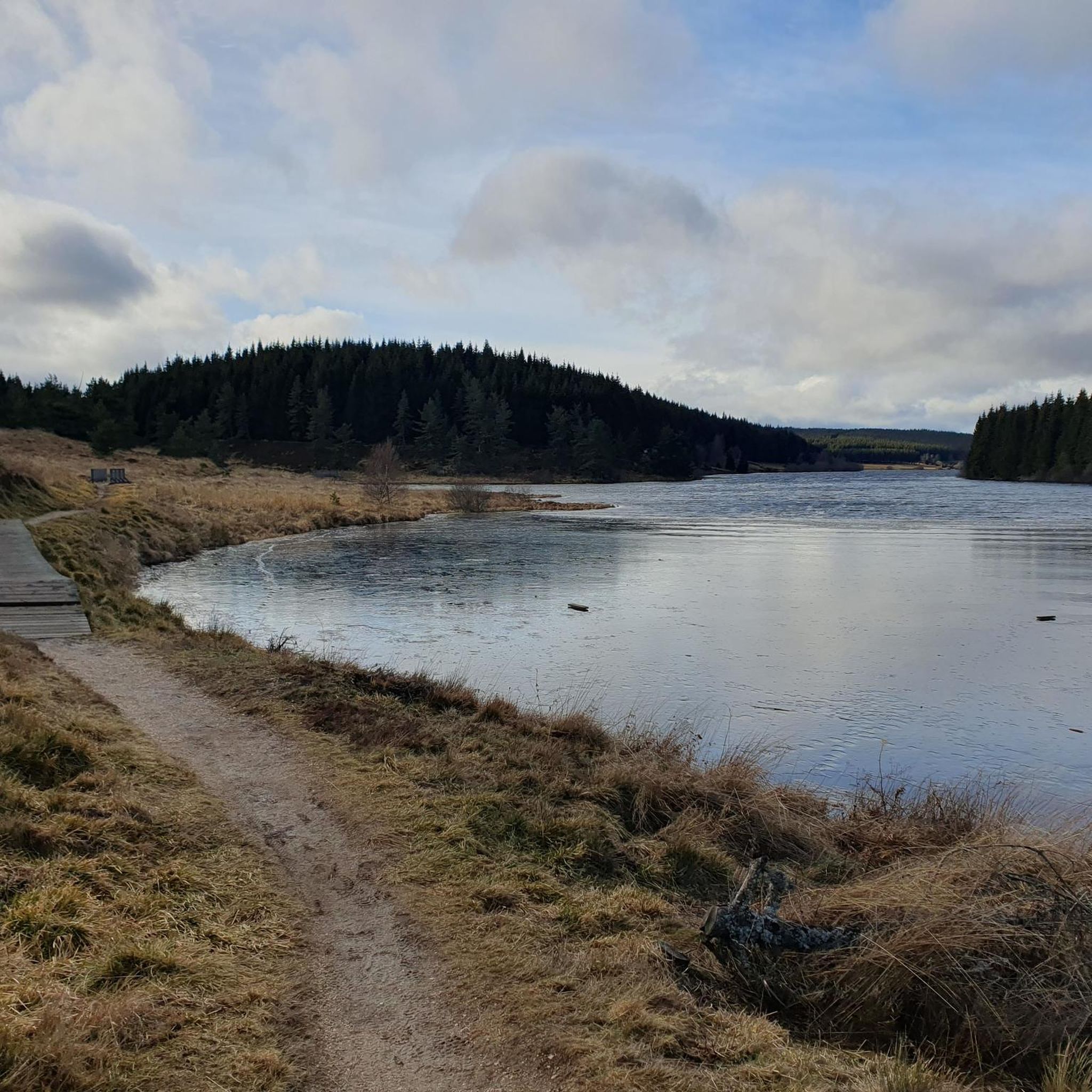
The Fortunio peak is the highest point in the Margeride massif. It is therefore naturally designated as the ideal observation post for Lake Charpal.
0
0

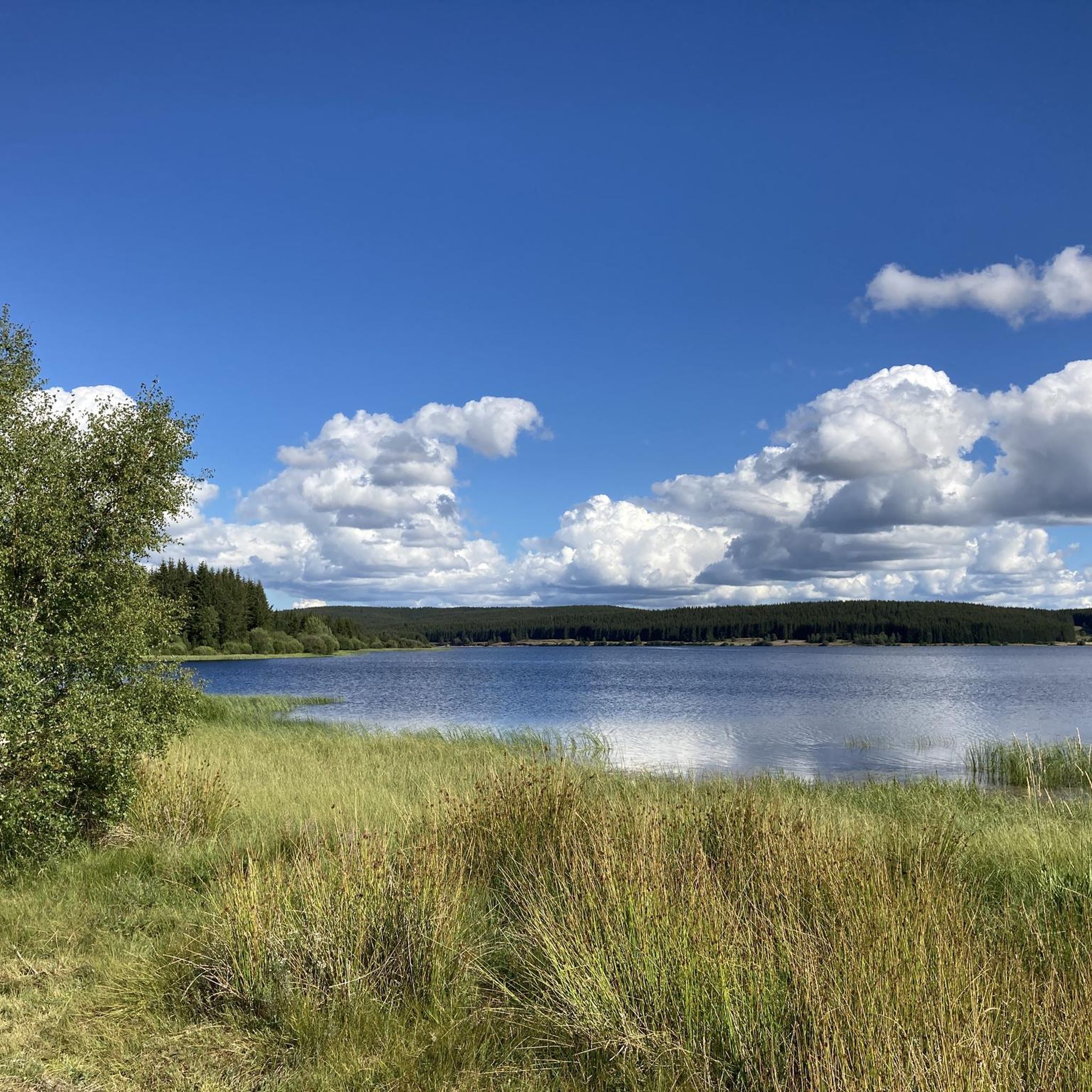
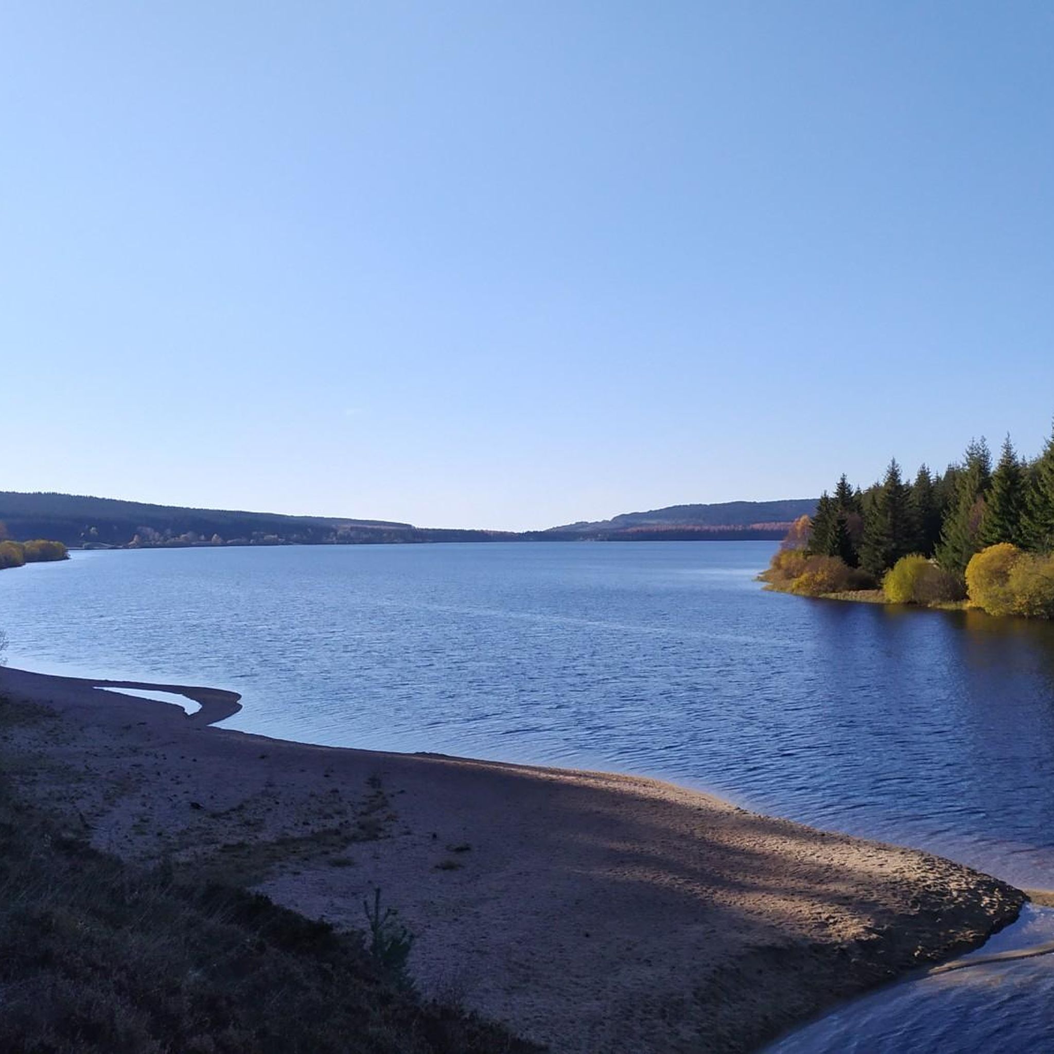
Lac de Charpal lies at an altitude of 1,360 meters amidst raised bogs, forests, and heathland. This artificial reservoir, built in the 1930s, supplies Mende with drinking water. Today, it is a tranquil retreat, popular for hiking, nature observation, and its protected flora and fauna.
0
0

A dam on the Colagne river created this Charpal lake. It supplies the town of Mende with drinking water. The Charpal site was originally chosen in 1925 to create an underwater munitions depot. This strange project never took place, because the lake was not deep enough and did not allow the immersion of the powder.
1
0

Lake Charpal is an artificial lake whose origin is quite strange since it was initially designed to store surplus ammunition underwater at the end of the 14-18 war. After construction, the project was finally abandoned. Today, it is a magnificent natural site in the heart of Margeride.
1
0
From its height of 1,552m, the Truc de Fortunio dominates the Margeride. The panorama that is offered to you and the granite chaos at its summit offer magnificent photos worthy of a postcard.
2
0

An exceptional view of the Margeride.
0
0

Beautiful place for a bucolic walk 🤩🤩🤩
0
0
Frequently Asked Questions
How many running routes are available around Arzenc-de-Randon?
There are over 35 dedicated running routes around Arzenc-de-Randon, offering a wide range of options for different fitness levels and preferences. These routes traverse the diverse mountainous landscape of the Margeride area.
What kind of terrain can I expect on the running trails in Arzenc-de-Randon?
The running trails in Arzenc-de-Randon feature a varied and engaging terrain. You'll encounter mountainous paths with significant elevation changes, forestry roads, paths through fields, and descents through pastures. The region's average altitude of around 1,305 meters ensures a dynamic running experience.
Are there any running routes suitable for beginners or those looking for an easier jog?
Yes, while many routes offer challenging ascents, there are also moderate options available. For example, the Running loop from Rieutort-de-Randon is a moderate 8 km trail that can be completed in just over an hour, providing a good option for a less strenuous run.
What natural features or landmarks can I see while jogging in Arzenc-de-Randon?
Jogging in Arzenc-de-Randon offers stunning natural scenery. You can run alongside the picturesque Lake Charpal, which provides beautiful water views. More challenging routes lead towards the prominent Truc de Fortunio, offering expansive panoramic views. You might also encounter rivers, wetlands, and a footbridge over the Calagne.
Are there any circular running routes in the area?
Yes, many of the running routes around Arzenc-de-Randon are circular, allowing you to start and finish at the same point. A popular example is the Lake Charpal – Lake Charpal loop from Aire de Camping-cars du Lac Charpal, which circles the scenic lake.
What do other runners enjoy most about jogging in Arzenc-de-Randon?
The running routes in Arzenc-de-Randon are highly rated by the komoot community, with an average score of 4.0 stars from over 4 reviews. Runners often praise the region's wild and unspoiled mountainous terrain, the breathtaking panoramas, and the sense of escape into nature. The diverse landscapes, from lake shores to mountain peaks, are frequently highlighted.
Are the running trails in Arzenc-de-Randon suitable for families?
While many routes involve significant elevation changes, there are options that families might find enjoyable. Look for routes described as 'moderate' in difficulty, which often feature less steep climbs and more stable surfaces like forestry roads. The varied scenery, including fields and pastures, can also be engaging for younger runners.
Can I bring my dog on the running trails around Arzenc-de-Randon?
The natural environment of Arzenc-de-Randon is generally welcoming to dogs. However, it's always recommended to keep your dog on a leash, especially when passing through pastures where livestock may be present, or in areas with sensitive wildlife. Always ensure you clean up after your pet to preserve the pristine environment.
Is parking available near the trailheads for running routes?
Yes, parking is typically available near popular trailheads. For instance, the Lake Charpal loop starts from the Aire de Camping-cars du Lac Charpal, which offers parking facilities. It's advisable to check specific route details for precise parking locations.
What is the best time of year for jogging in Arzenc-de-Randon?
The region's mountainous climate means that spring, summer, and early autumn generally offer the most pleasant conditions for jogging. During these seasons, you can enjoy milder temperatures and lush landscapes. Winters can be cold with snow, making some higher elevation trails more challenging or inaccessible without proper gear.
What is the longest running route available in Arzenc-de-Randon?
One of the longer and more challenging options is the ... – Truc de Fortunio loop from Monts-de-Randon. This difficult route spans 19.2 km (11.9 miles) and takes approximately 2 hours and 19 minutes to complete, ascending towards the prominent Truc de Fortunio.
Are there any running routes that offer significant elevation gain for a challenging workout?
Absolutely. Arzenc-de-Randon is characterized by its mountainous terrain and significant elevation changes. Routes like the Truc de Fortunio by the GR43 – trail starting from Rieutort-de-Randon feature substantial ascents, with over 470 meters of elevation gain, providing an excellent challenge for experienced trail runners.
Most popular routes around Arzenc-De-Randon
Most popular attractions around Arzenc-De-Randon

Get inspired with the komoot mobile app


Explore more
Browse the best Running Trails & Routes in other regions.
