The best running trails around Chasseradès
3.9
(6)
294
runners
49
runs
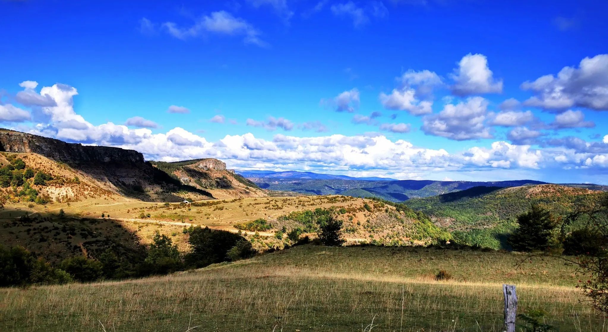
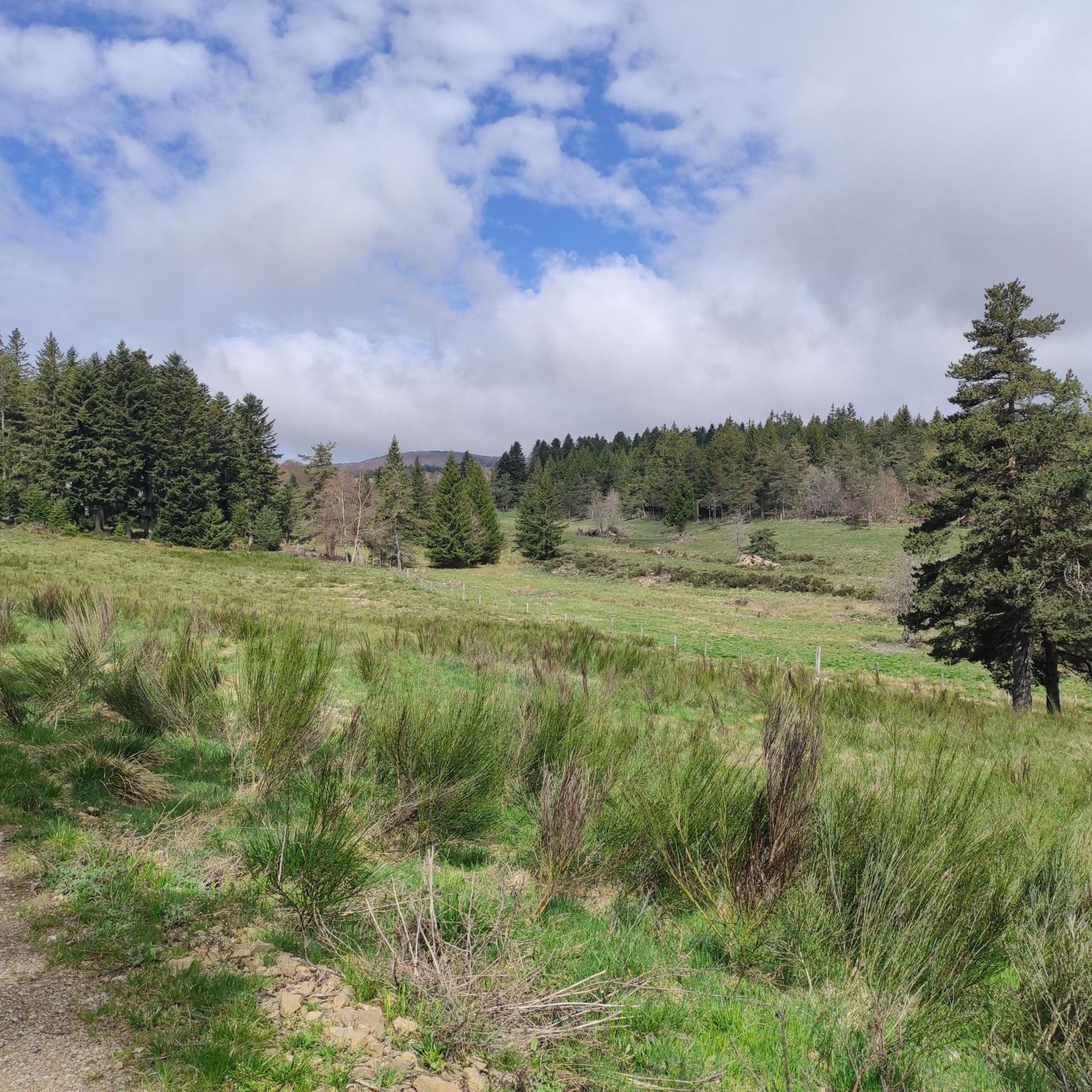
Jogging routes around Chasseradès traverse a preserved natural setting within the Cévennes, in France's Occitanie region. The area is characterized by mountain and forest landscapes, with elevations ranging from 951 to 1,482 meters. The Chassezac river carves impressive granite gorges, adding varied topography to the region. This environment provides diverse and engaging running routes.
Best jogging routes around Chasseradès
- The most popular jogging route is Trail loop le Moure de la Gardille et le Ron des Egos, a 5.2…
Last updated: October 2, 2026
8.30km
00:58
200m
200m
Moderate run. Good fitness required. Mostly paved surfaces. Suitable for all skill levels.
31
runners
14.2km
01:41
290m
290m
Moderate run. Good fitness required. Mostly paved surfaces. Suitable for all skill levels.

20
runners
45.7km
05:25
1,320m
1,320m
Hard run. Very good fitness required. Mostly paved surfaces. Suitable for all skill levels.
4.0
(1)
20
runners
58.3km
06:44
1,340m
1,350m
Hard run. Very good fitness required. Mostly paved surfaces. Suitable for all skill levels.
12
runners
19.0km
02:40
710m
710m
Hard run. Very good fitness required. Mostly paved surfaces. Suitable for all skill levels.
Get access to more routes and recommendations from other explorers.
Already have an account?
Our route recommendations are based on thousands of hikes, rides, and runs completed by other people on komoot.
Start today with a free account
Your next adventure awaits.
Other adventures around Chasseradès

Tips from the Community

The acoustics are incredibly good!
1
0


La Garde-Guérin is a fortified medieval village. Founded in the 12th century, the La Garde-Guérin tower served as both a lookout and defense post for the city. This village is also recognized as one of the “Most Beautiful Villages in France”, for its charm as well as its historical and architectural heritage.
0
0
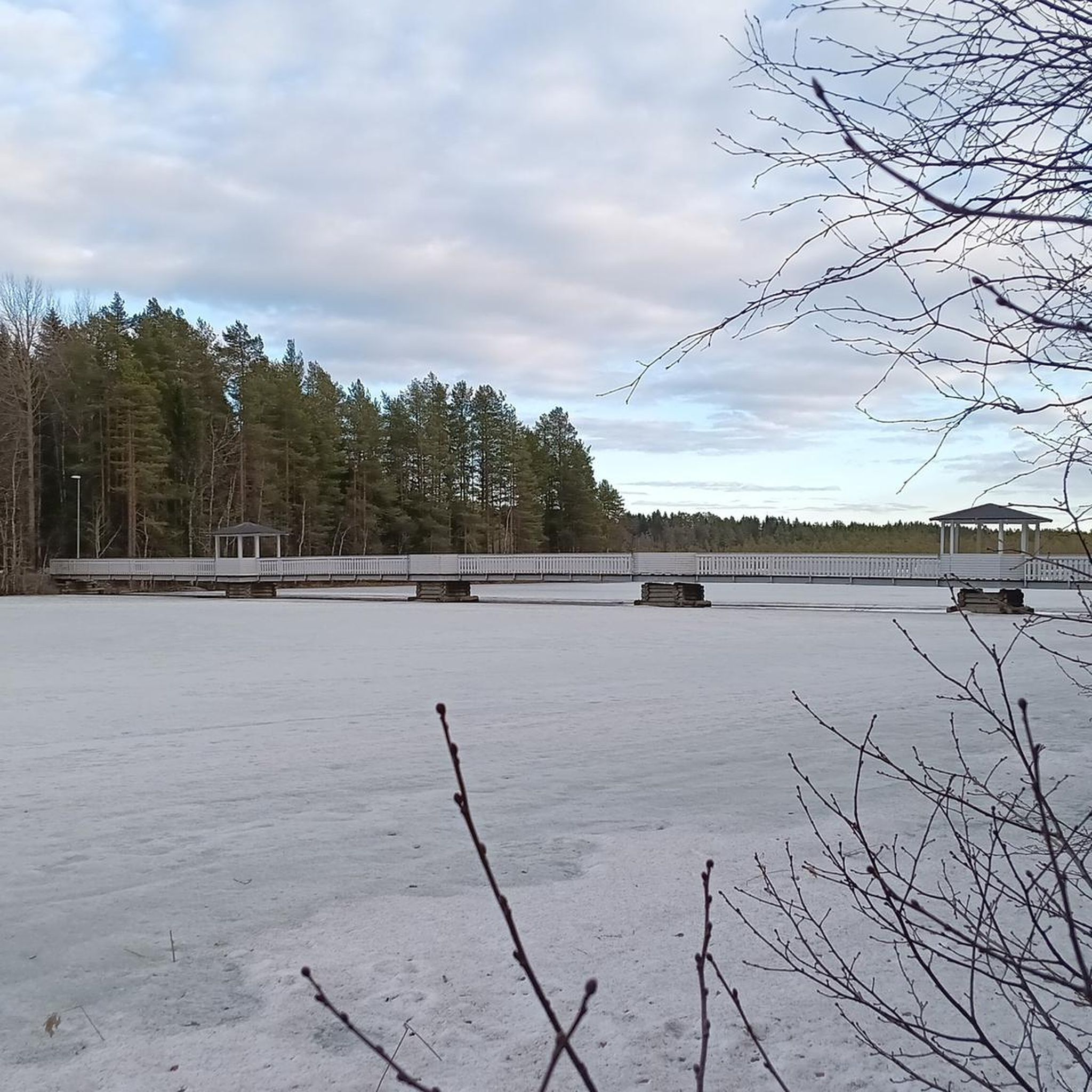
This footbridge allows you to cross the Chassezac and better appreciate the gorges. On summer days it is possible to swim in the crystal clear water of the river.
0
0
Chasseradès is home to the Saint-Blaise church, a 12th century building. This Romanesque church is famous for its comb bell tower and its medieval frescoes. A historic place and an attraction for those who follow the Stevenson Trail or cross the Cévennes.
2
0

Beautiful view over the gorges.
1
0

This abandoned hamlet is called Serreméjan and the nearby stream is also called that. Unfortunately, I have not found any information about this place. I assume that agriculture was no longer profitable in this mountainous area.
3
0
In 1978, a few friends founded an association to safeguard and enhance the Château de Luc. Its purpose is to preserve and restore these vestiges, but also to deepen their history and make it known to the public. The work carried out jointly, association and successive municipal teams allowed the restoration of the keep in 1994 with the installation of orientation tables, then that of the main building in 2008 thus allowing the organization of animations at the Castle. THE MUNICIPALITY OF LUC AND THE ASSOCIATION OF FRIENDS OF THE CHÂTEAU DE LUC INVITE VISITORS TO RESPECT THESE PLACES THAT WILL SEE OUR HISTORY.
4
0
Frequently Asked Questions
How many running routes are available around Chasseradès?
There are over 40 running routes around Chasseradès, offering a diverse range of experiences for outdoor enthusiasts. These routes vary in difficulty from moderate to difficult, traversing the region's unique mountain and forest landscapes.
Are there any easy jogging routes in Chasseradès suitable for beginners?
While there are no routes specifically classified as 'easy,' Chasseradès offers 24 moderate running routes that can be suitable for beginners looking for a bit of a challenge. A good starting point is the Trail loop le Moure de la Gardille et le Ron des Egos, which is 5.2 miles (8.3 km) long and features varied terrain.
What kind of terrain can I expect on the running trails in Chasseradès?
The running trails in Chasseradès are characterized by diverse terrain, including mountain and forest landscapes, with elevations ranging from 951 to 1,482 meters. You'll encounter sections along the Chassezac river, which carves impressive granite gorges, as well as paths through the Goulet Forest and near the high granite mountains of the Cévennes.
Are there any long-distance running trails in the Chasseradès area?
Yes, Chasseradès is a key point on the famous Stevenson Trail (GR70), which offers excellent opportunities for long-distance running. For a challenging long-distance option, consider the La Bastide-Puylaurent – Mirandol Viaduct loop from Chasseradès, a 28.4-mile (45.7 km) trail that leads through the Chassezac river valley.
What are some scenic viewpoints or natural attractions I can see while running in Chasseradès?
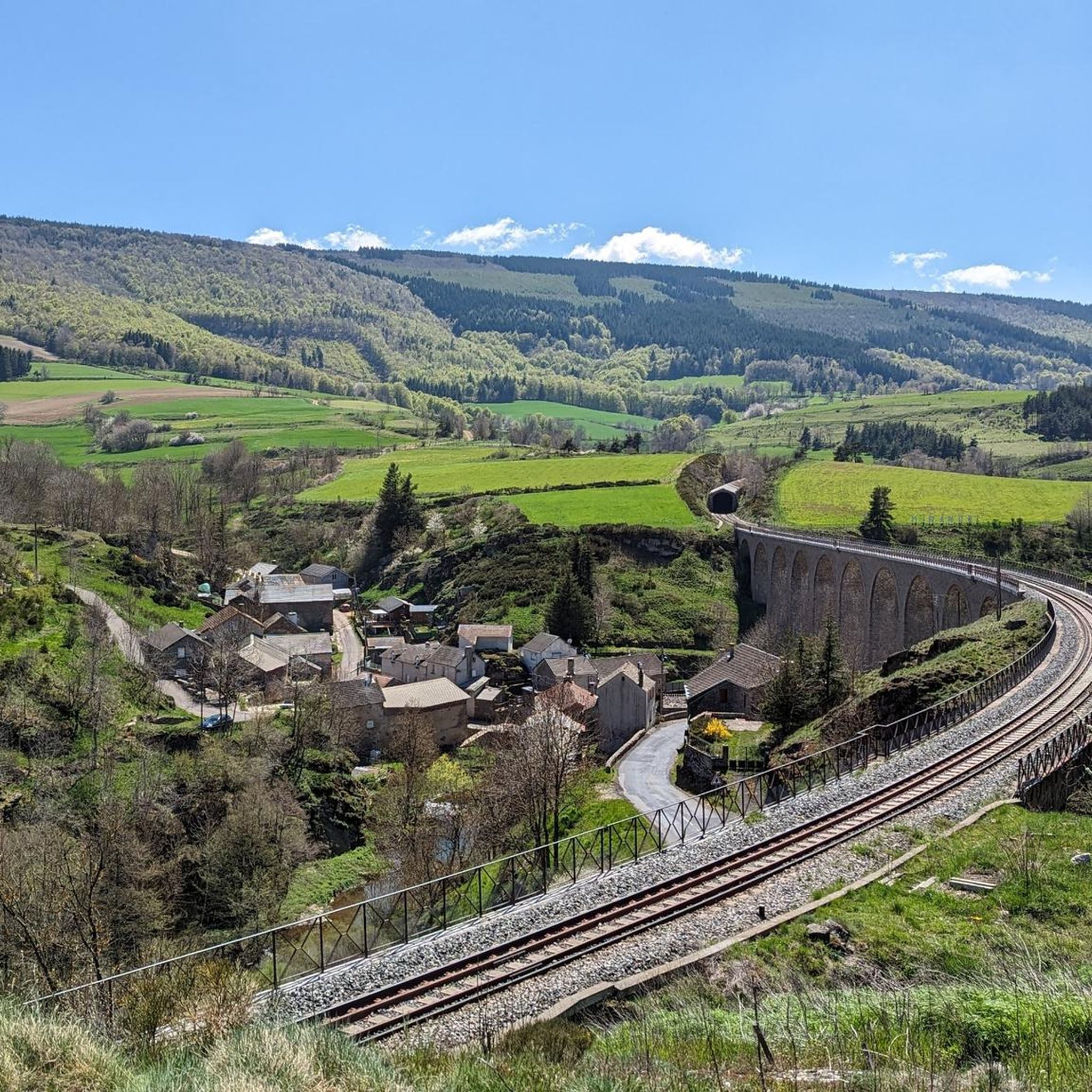
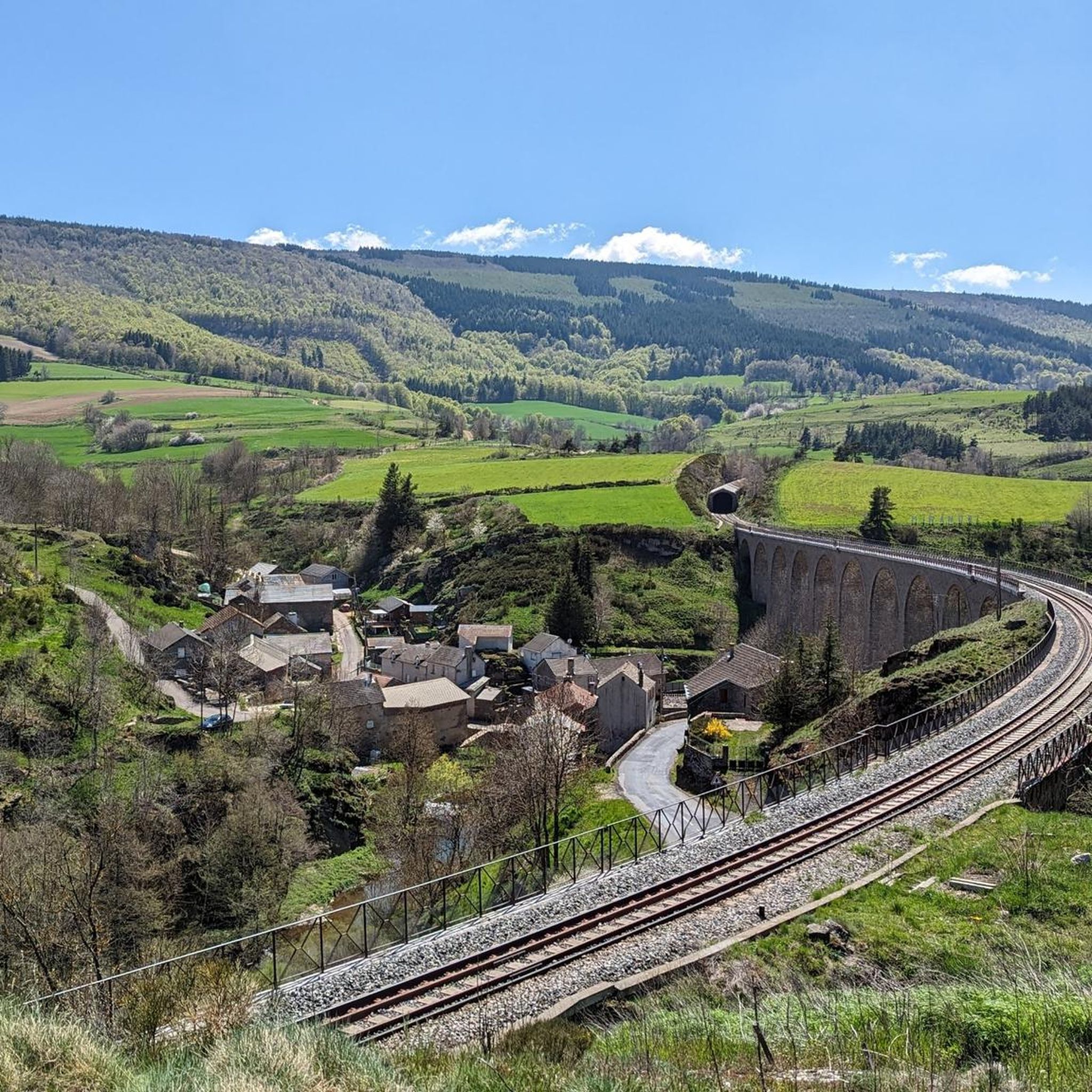
The region offers numerous scenic spots. You can run alongside the dramatic granite gorges carved by the Chassezac river, especially towards La Garde-Guérin. The Mont Lozère, part of the Stevenson Trail, provides magnificent views of the Cévennes. Additionally, the impressive Mirandol Viaduct overlooks the Chassezac river, offering a unique architectural and natural landmark.
Are there any circular jogging routes around Chasseradès?
Yes, many routes in the area are circular, allowing you to start and end in the same location. An example is the La Bastide-Puylaurent loop from La Bastide - Saint-Laurent-les-Bains, a moderate 8.8-mile (14.2 km) path offering scenic views.
What do other runners enjoy most about jogging in Chasseradès?
The running routes in Chasseradès are highly rated by the komoot community, with an average score of 5.0 stars. Runners often praise the preserved natural setting, the varied mountain and forest terrain, and the tranquility of the Cévennes, which provide both physical challenge and scenic beauty.
Are there any historical or cultural landmarks near the running trails?
Beyond natural beauty, the area boasts historical sites. The 12th-century Romanesque Saint-Blaise church in Chasseradès adds a historical dimension. Nearby, you can find the medieval Luc Castle and other castles like View of the Château du Champ, Roure Castle, and Tournel Castle.
Are there any running routes that pass by lakes or water bodies?
Yes, you can find routes that incorporate water features. The Auradoux Pond – Lake Auradoux loop from Prevenchet is a challenging long-distance option that takes you past these water bodies. Additionally, the picturesque Lac de Villefort is nearby, offering various activities.
What is the best season for running in Chasseradès?
Chasseradès offers a great outdoor experience across multiple seasons. The mountain and forest terrain provides varied conditions. Spring and autumn generally offer pleasant temperatures and vibrant scenery. Summer is also popular, though some routes might be more exposed. Winter running is possible, but conditions can be challenging due to snow and ice at higher elevations.
Are there any particularly challenging running routes for advanced runners?
Absolutely. Chasseradès is home to 24 difficult running routes. For advanced runners seeking a significant challenge, the Finiels Summit – Les montjoies - Mont Lozère loop from Cubières is a demanding 31.4-mile (50.6 km) trail with substantial elevation changes, offering an intense workout and rewarding views.
Most popular routes around Chasseradès
Most popular attractions around Chasseradès

Get inspired with the komoot mobile app


Explore more
Browse the best Running Trails & Routes in other regions.
