The best road cycling routes around Montigny
4.4
(12)
218
riders
77
rides
Road cycling routes around Montigny traverse agricultural landscapes and offer shaded trails through forests such as Jeugny Forest and the Forest of Compiègne. The region features a mix of flat sections and gentle ascents, providing varied terrain for cyclists. Historic sites like the Château de Vic-sur-Aisne and Château de Pierrefonds are accessible along some routes. The area's topography includes rolling hills and river valleys, suitable for different cycling abilities.
Best road cycling routes around Montigny
- The most popular road cycling…
Last updated: October 7, 2026
29
riders
119km
05:21
1,090m
1,090m
Hard road ride. Very good fitness required. Mostly well-paved surfaces and easy to ride.
7
riders
86.2km
04:36
1,540m
1,540m
Hard road ride. Very good fitness required. Some segments of this route may be unpaved and difficult to ride.

8
riders
Hard road ride. Very good fitness required. Mostly well-paved surfaces and easy to ride.
4
riders
51.9km
02:25
600m
600m
Moderate road ride. Good fitness required. Mostly well-paved surfaces and easy to ride.
3
riders
50.2km
02:27
630m
630m
Moderate road ride. Good fitness required. Some segments of this route may be unpaved and difficult to ride.
Get access to more routes and recommendations from other explorers.
Already have an account?
Our route recommendations are based on thousands of hikes, rides, and runs completed by other people on komoot.
Start today with a free account
Your next adventure awaits.
Tips from the Community

On 25 June 1944, the Germans burned the village and caused 7 victims. Here they executed by firing squad Robert Mollet, aged 24, and Maurice Mollet, aged 16.
0
0


Rivers and canals crisscross the country, the latter in particular being a crucial part of the transport infrastructure in earlier times. Later, first rail, and later again trucks, took over the task of transporting goods. In the competition between different modes of transport, they were faster and cheaper than barges – and thus more efficient. When building the artificial waterways, however, it had to be taken into account that differences in elevation always had to be overcome, and so locks are often lined up along the canals – at varying intervals, depending on the local situation. Only with their help was shipping possible.
0
0
It is presumably a former "chemin de halage" (in German "treidelpfad" or "leinpfad"), which runs alongside the canal's bed. In earlier times, such a path was an essential part of the transport infrastructure. Before ships could be powered by motors, horses walked along the bank, pulling the boat against the current. This was called "treideln" (pulling), and this is how the towpaths got their name, which has been passed down to this day. Where these paths, which run close to the bank, have been preserved, they are popular with hikers, walkers, joggers, and cyclists.
1
0

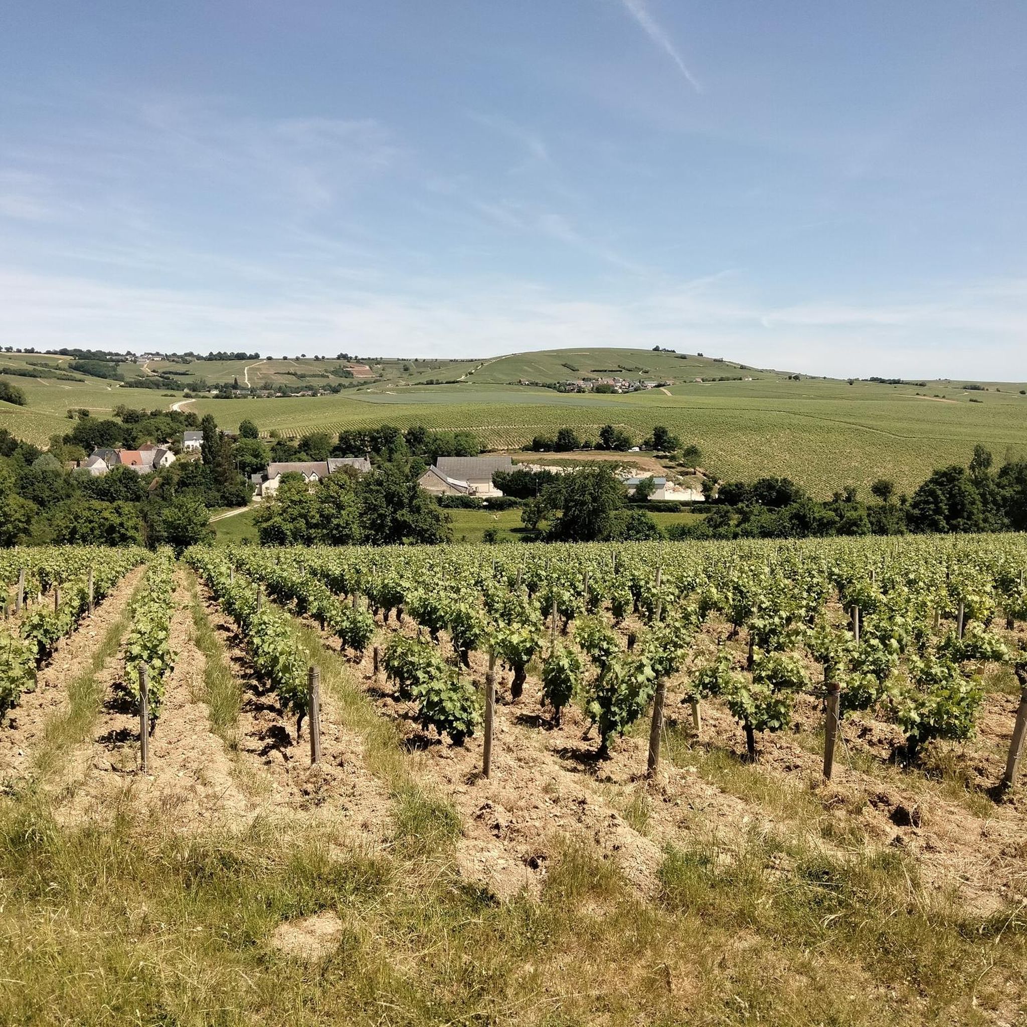
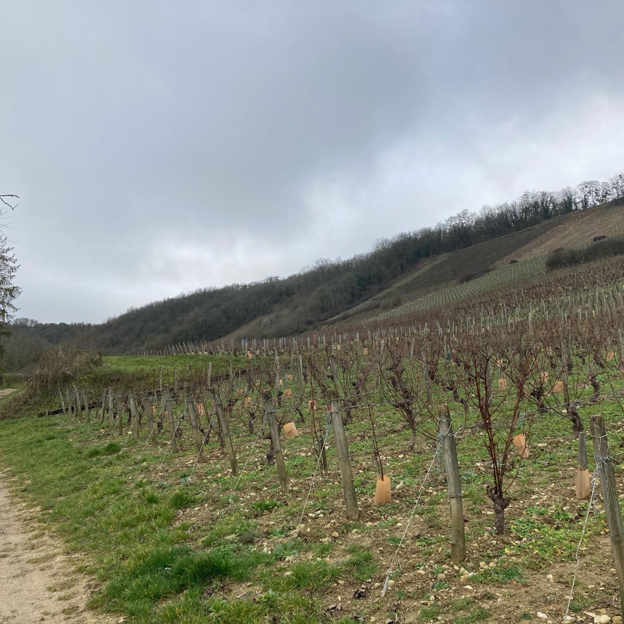
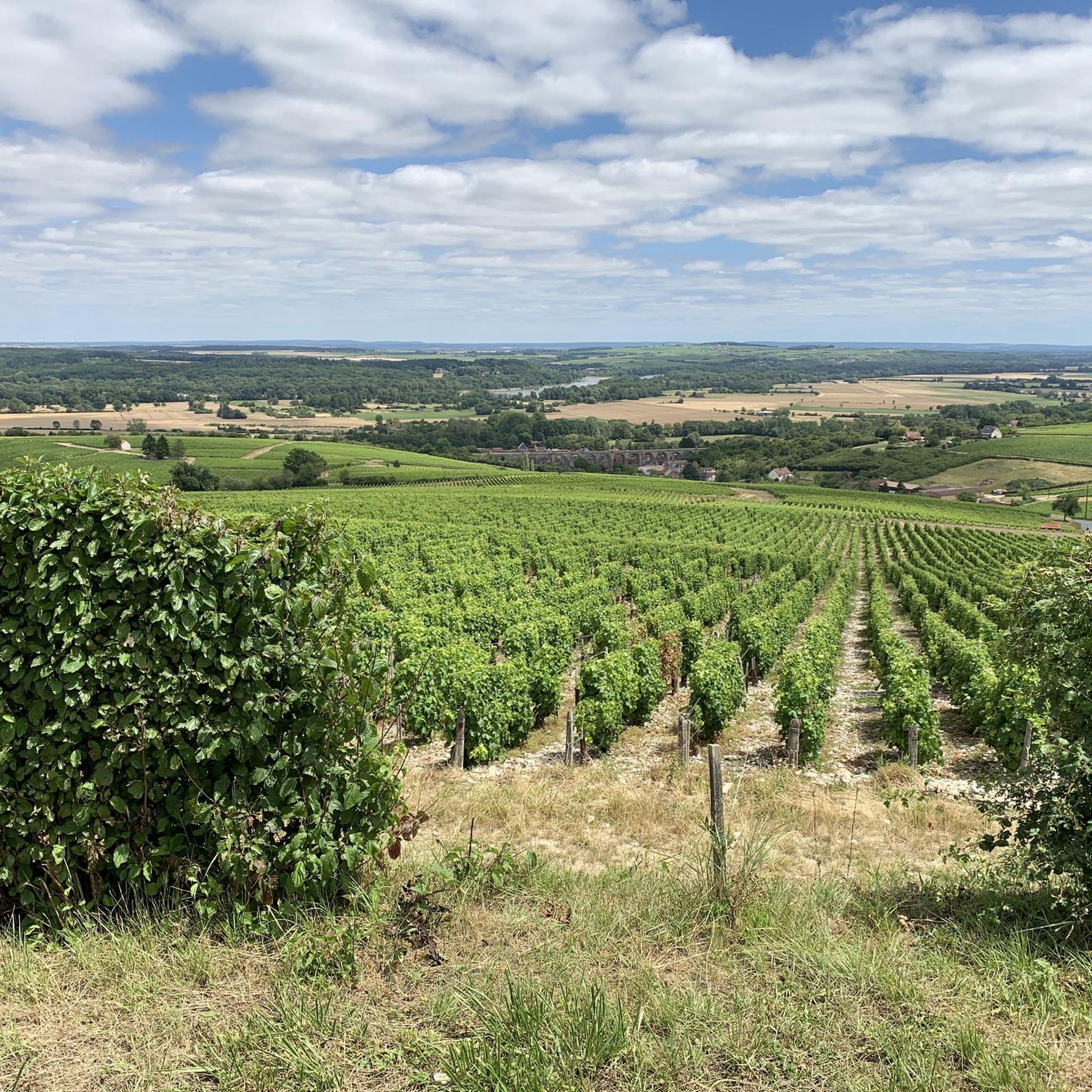
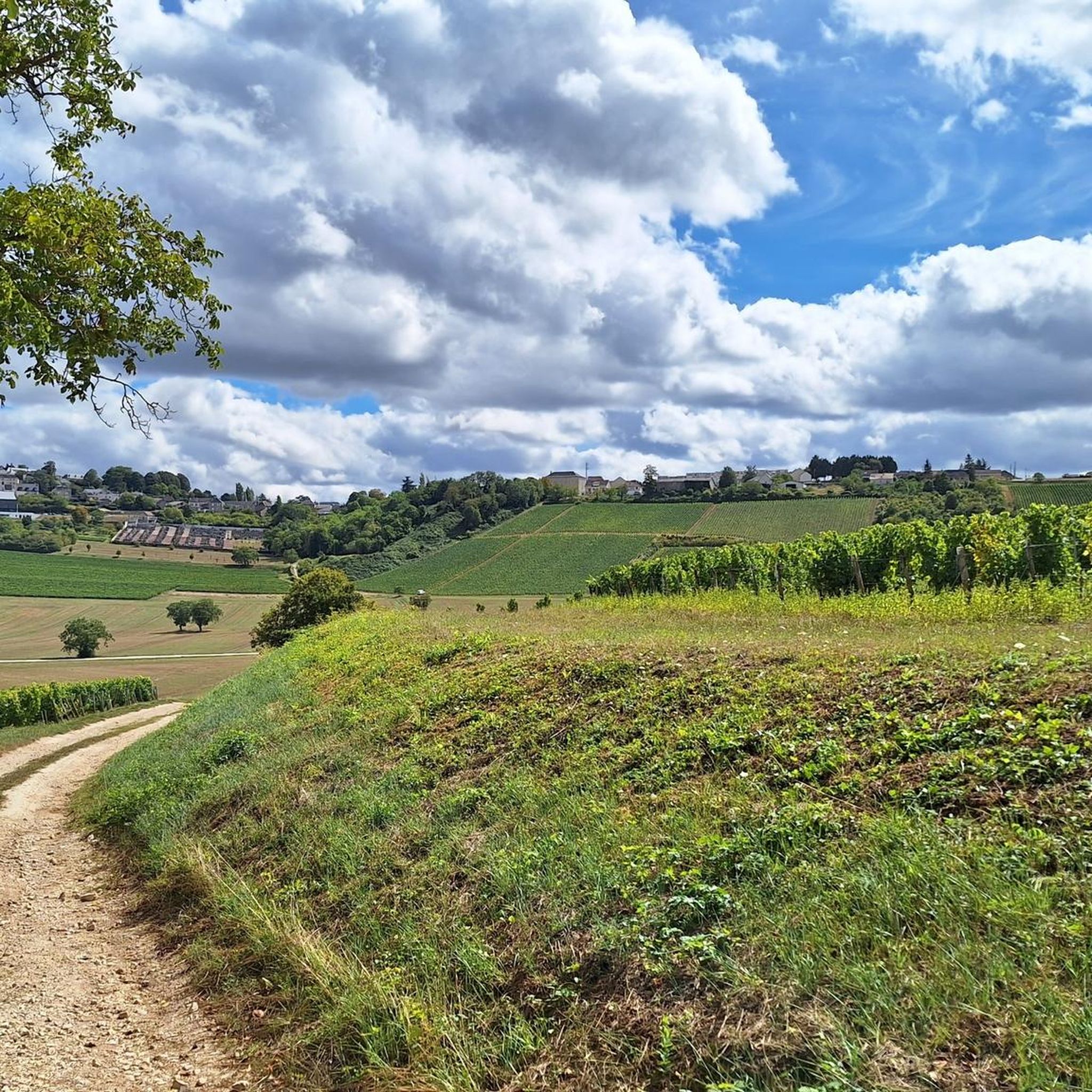
The Sancerre vineyard covers the hills of 14 communes in the Loire Valley. The paths that cross it allow you to discover this terroir up close, well-suited to growing vines thanks to its exposure and orientation. Here, you'll find peace and quiet, perfect for cycling and admiring the scenery.
0
0

The trip along the canal is a meditation - at least as relaxing as one.
1
0

Frequently Asked Questions
How many road cycling routes are available around Montigny?
There are over 60 road cycling routes available around Montigny, offering a variety of experiences for different skill levels.
What kind of terrain can I expect on road cycling routes in Montigny?
Road cycling routes in Montigny traverse agricultural landscapes, offering shaded trails through forests like Jeugny Forest and the Forest of Compiègne. You'll find a mix of flat sections, rolling hills, and gentle ascents through river valleys.
What are the difficulty levels of road cycling routes in Montigny?
Montigny offers a range of difficulty levels. There are 11 easy routes, 52 moderate routes, and 6 difficult routes, ensuring options for beginners to experienced cyclists.
What do other cyclists say about road cycling in Montigny?
The road cycling routes in Montigny are highly rated by the komoot community, with an average score of 4.4 stars from 9 reviews. Over 150 road cyclists have used komoot to explore the varied terrain.
Are there any scenic or historic landmarks to see along the road cycling routes in Montigny?
Yes, several routes pass by historic sites and scenic spots. You can explore areas near the impressive Pesselières Castle, the charming La Borne, potters' village, or the Sainte-Madeleine Church of Jalognes. Some routes also take you through forests and past agricultural fields.
Are there any challenging road cycling routes in Montigny with significant elevation gain?
For a challenging ride, consider the route La Borne, potters' village – Morogues church loop from Neuvy-Deux-Clochers. This 43.5-mile (69.9 km) trail features significant elevation gain through rural landscapes.
Can I find easy road cycling routes suitable for beginners in Montigny?
Yes, there are easy options available. The route Saint-Satur Viaduct – Pont de Pouilly-sur-Loire loop from Veaugues is an easy 28.8-mile (46.3 km) path offering a relaxed ride with moderate elevation changes and river views.
Are there circular road cycling routes in Montigny?
Many routes in Montigny are designed as loops. For example, the Morogues church – La Borne, potters' village loop from Morogues is a 21.7-mile (34.9 km) circular trail through agricultural fields and small villages.
What is the best time of year for road cycling in Montigny?
The region's agricultural landscapes and forests are pleasant for cycling during spring, summer, and early autumn. Summer offers warm weather, while spring and autumn provide cooler temperatures and vibrant scenery.
Are there routes that pass by points of interest like castles or churches?
Yes, several routes offer glimpses of local heritage. For instance, the Morogues church – Château de Maupas loop from Morogues takes you past the Morogues church and towards the Château de Maupas.
Are there road cycling routes that offer a mix of forest and open field views?
Absolutely. Many routes in Montigny combine shaded forest paths, such as those found in Jeugny Forest and the Forest of Compiègne, with open agricultural fields, providing varied scenery throughout your ride.
Most popular attractions around Montigny

Get inspired with the komoot mobile app


Explore more
Browse the best Road cycling routes in other regions.
