The best cycling routes around Aufseß
4.6
(165)
697
riders
37
rides
Touring cycling around Aufseß is set within the Franconian Switzerland-Veldenstein Forest Nature Park, characterized by diverse landscapes. The region features picturesque valleys, including the scenic Aufseß valley with its limestone stream, and impressive rock formations. Rolling hills and car-free sections provide varied terrain for cycling.
Best touring cycling routes around Aufseß
- The most popular touring cycling route is Reichold Brewery Inn – Brewery Inn Krug Bräu Breitenlesau loop from Aufseß, a 19.8 miles (31.8 km) trail that takes 2…
Last updated: October 8, 2026
4.6
(74)
271
riders
Moderate bike ride. Good fitness required. Mostly paved surfaces. Suitable for all skill levels.
4.9
(25)
108
riders
33.3km
02:29
360m
360m
Moderate bike ride. Good fitness required. Mostly paved surfaces. Suitable for all skill levels.

4.9
(13)
75
riders
95.4km
06:37
1,140m
1,140m
Hard bike ride. Very good fitness required. Mostly paved surfaces. Suitable for all skill levels.
4.5
(10)
24
riders
33.6km
02:21
380m
380m
Moderate bike ride. Good fitness required. Mostly paved surfaces. Suitable for all skill levels.
4.3
(9)
26
riders
Moderate bike ride. Good fitness required. Mostly paved surfaces. Suitable for all skill levels.
Get access to more routes and recommendations from other explorers.
Already have an account?
Our route recommendations are based on thousands of hikes, rides, and runs completed by other people on komoot.
Start today with a free account
Your next adventure awaits.
Popular around Aufseß
The Franconian Mountain Trail – 21 Stages of Magical Summit Bliss
Wine, woods & walking trails — Best of VGN hiking tips
Wine, woods & walking trails — VGN hiking tips for 2020
Franconian Switzerland — on the trace of the Purity Law
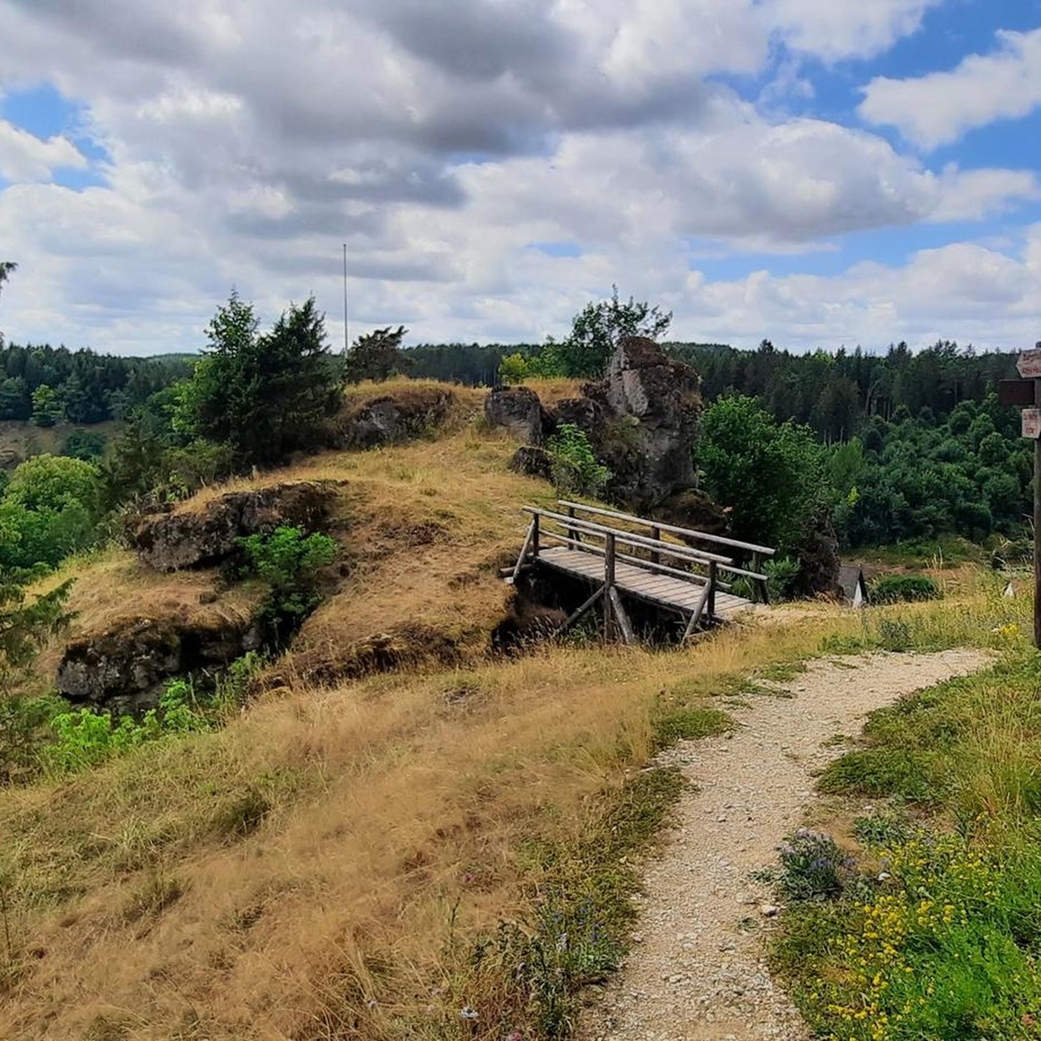
Hiking around Aufseß
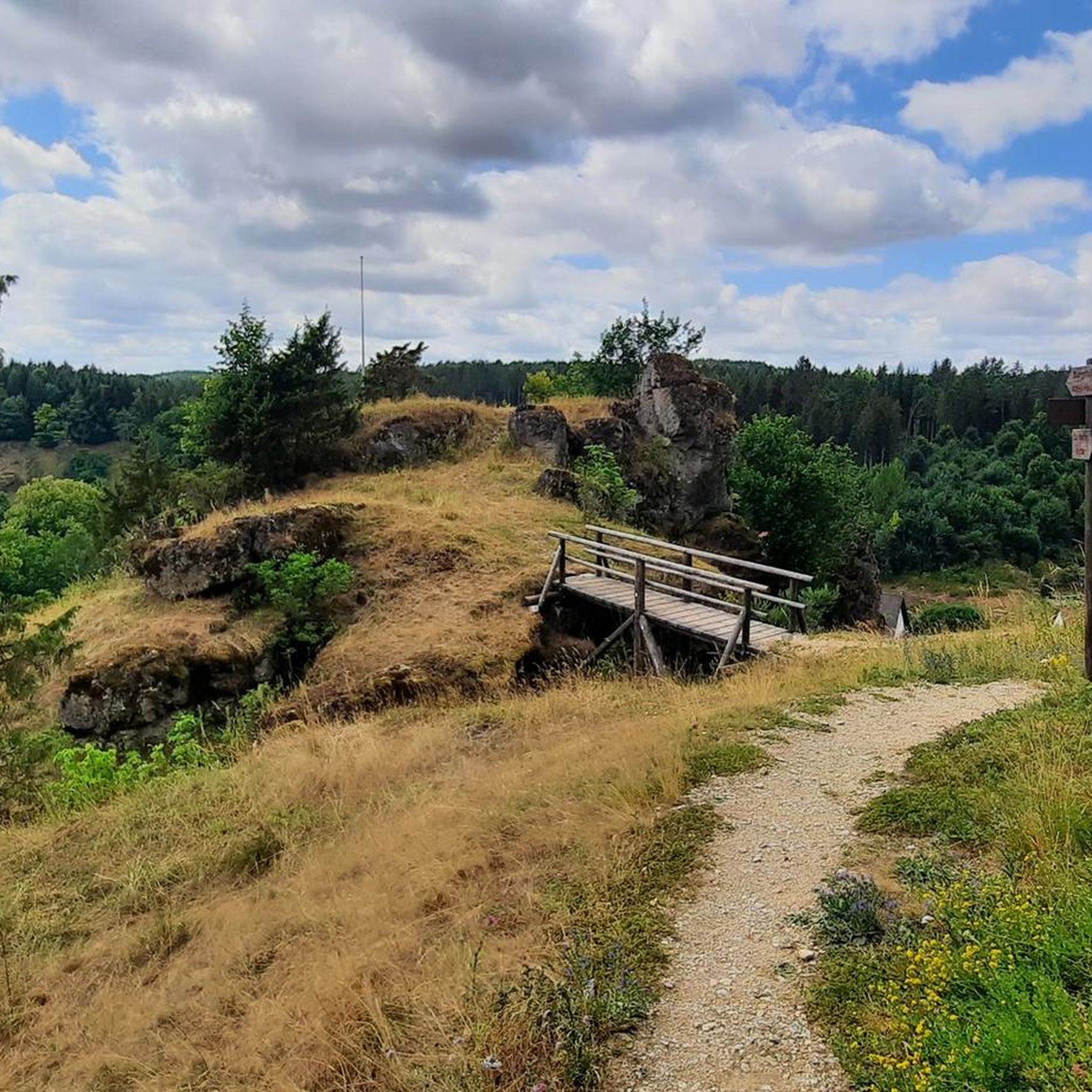
MTB Trails around Aufseß
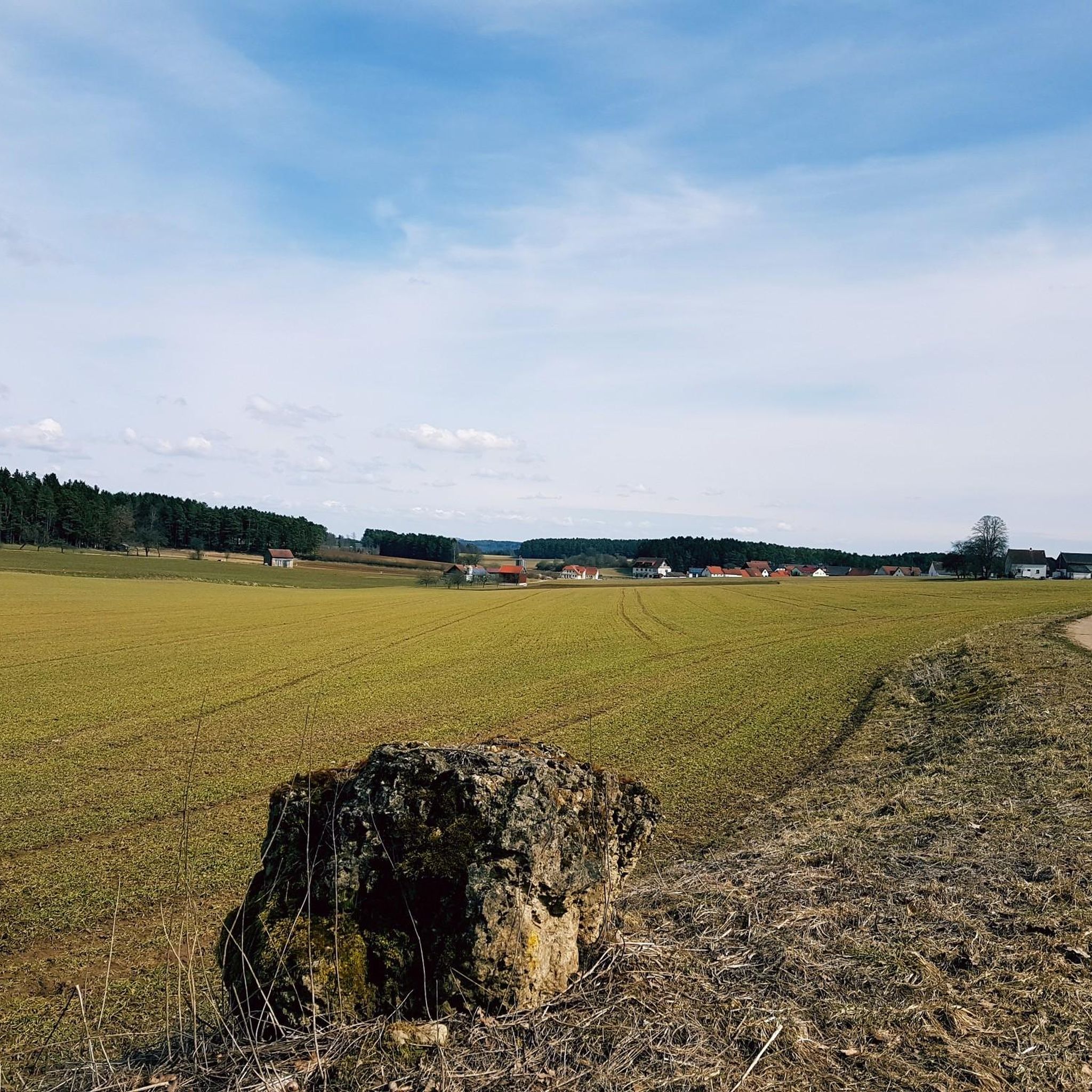
Road Cycling Routes around Aufseß
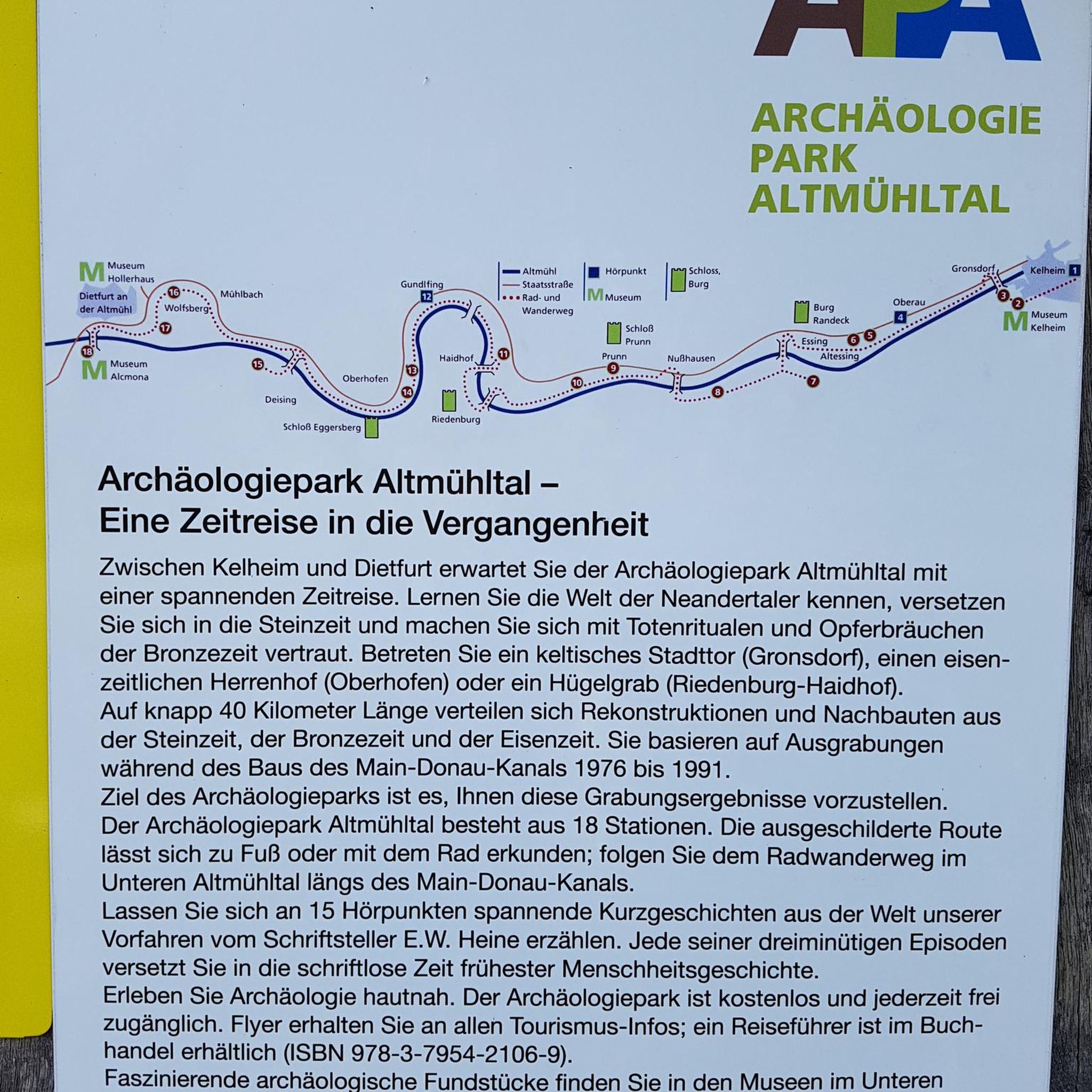
Gravel biking around Aufseß
Running Trails around Aufseß
Mountain Hikes around Aufseß
Other adventures around Aufseß


Tips from the Community

Definitely worth seeing, good places to stop for refreshments
0
0

Krögelstein is more than a picturesque village nestled between Dolomite rocks: high above the Kaiserbach once stood the castle of the Lords of Krögelstein. Their history dates back to the Middle Ages. In 1523, the rock castle was destroyed by the Swabian League. The large watchtower is said to have been blown up with four tons of gunpowder. Today, remnants of walls above the rocky gorge are a reminder of the vanished castle. The houses of the village nestle directly against the striking Dolomite rocks: the "Alten Fritz", the Schwedenfelsen, and the Löwenfelsen.
5
0

In the heart of Waischenfeld, a stone's throw from the historic Wiesent bridge, at Marktplatz 3 you'll find a true monument of Franconian milling history: the Wehrl city mill. The impressive structure captivates visitors primarily with its technical masterpiece – the mill houses one of the largest undershot water wheels in the entire Franconian Switzerland, which turns tirelessly and loudly in the waters of the Wiesent. The history of the house is inextricably linked to the Wehrl family, in whose proud possession the estate has been since 1698. Even a fire disaster in 1948, which destroyed the building down to its foundations, could not break the tradition: already the following year, the mill was rebuilt in its current, stately form. After grain from the surrounding area was diligently milled here until 2007, the historic water power today serves clean electricity generation for the region. An absolutely photogenic stop on any city tour, perfectly combining history and modernity.
2
0
Anyone who follows the Wiesent downstream from the historic Eichenmühle mill experiences one of the most untouched and picturesque sections of the entire valley. This section of the trail combines spectacular geology, centuries-old cultural history, and a vibrant river ecosystem in a confined space and is best explored on foot or by bike on the paved, natural farm track. The adventure begins directly below the old mill property at the Truppach confluence. Here, the upper Wiesent valley celebrates a small, quiet river spectacle when the Truppach, coming from the direction of Obernsees, joins from the left. Framed by dense alder stands and willows, the confluence area has an almost enchanted atmosphere. Looking back from the small Truppach bridge, you are offered a fantastic panorama: in the foreground, the water merges, while in the background, the historic half-timbered mill and the imposing dolomite walls rise up. Continuing along the river course in the shade of these mighty, bright rock formations, you reach the historic river weir on the Wiesent. Where the water now gently babbles over the barrier, the economic heart of the valley once beat. For centuries, the weir regulated the water level for the so-called "Wässerwiesen" – a sophisticated irrigation system that is now a UNESCO World Heritage site. At the same time, the facility was used for fishing, which is reflected in the name of the subsequent hamlet, Aalkorb. The designation, over a thousand years old, goes back to wooden fish traps that were hung in the flowing Wiesent at precisely these weirs. Today, the former barrier has been ecologically redesigned so that rare fish species such as the brown trout can once again easily pass the obstacle on their migrations. Behind the weir, the valley widens slightly, and the path leads along striking, vertical climbing rocks directly into the elongated district of Waischenfeld, Nankendorf. Here, the Wiesent flows quietly and peacefully through the village, past old willows, and invites you to stop for a well-deserved refreshment after an eventful passage through nature.
4
0
A particularly charming place, both scenically and geographically, in the northern part of Franconian Switzerland is the Eichenmühle, an idyllic estate in the municipality of Plankenfels. The historic property owes its very special significance to its striking location in the region's river system: directly below the mill, the nearly seven-kilometer-long Truppach, coming from Obernsees, flows into the Wiesent, which flows south there, from the left. Nestled in a wide valley bordered by wooded slopes and striking rock formations, the Eichenmühle once used the water power at this distinctive junction as a classic grain mill. Today, the historically rich site, which is reached via a short side road from the main road, is a perfect orientation and resting point for nature enthusiasts. It is located directly on popular hiking and cycling routes – such as the well-known tour “Truppach meets Wiesent” – and makes the gentle, water-rich river landscape of the Franconian natural scenery perfectly experienceable for excursionists.
4
0
An absolute highlight for history and photography enthusiasts in the Wiesenttal is the historic mill in the Nankendorf district of Waischenfeld. First documented in 1539, the striking building is one of the oldest architectural monuments in Franconian Switzerland. The current appearance as a long sandstone and half-timbered building with a hipped roof essentially dates back to 1800 and has been proudly owned by the Sebald family for centuries. Anyone standing on the idyllic riverbank today can admire the impressive undershot water wheel, which until 1992 still ground grain and today generates environmentally friendly green electricity. A closer look at the southern corner of the house also reveals historical flood marks, testifying to the dramatic water levels of past times. After extensive renovation in recent years, the owner family plans to make the fascinating historical mill technology inside accessible to the public in the long term as a small mill museum, making the place a perfect stopover on any discovery tour.
4
0
The marketplace of Waischenfeld, officially named Bischof-Nausea-Platz today, forms the historical and social heart of the state-recognized climatic health resort in the Wiesenttal valley. Characterized by well-preserved Franconian half-timbered houses, the area reflects over 700 years of town history. The square extends across the valley floor directly below the striking Jura cliffs and the medieval Waischenfeld Castle with its famous round tower, the "Steinerner Beutel". As a central hub, it houses important municipal facilities such as the town hall and the tourist information office in the historic Baderhaus, and also serves as a backdrop for traditional markets and town festivals. Furthermore, the square functions as an ideal starting point for the historical city tour and the short panorama trail.
3
0
Frequently Asked Questions
How many touring cycling routes are available around Aufseß?
There are over 40 touring cycling routes in and around Aufseß, offering a wide range of experiences. These include 7 easy routes, 16 moderate routes, and 18 more challenging options, ensuring there's something for every skill level.
What kind of terrain can I expect on touring cycling routes in Aufseß?
The terrain around Aufseß is diverse, characterized by picturesque valleys, rolling hills, and impressive rock formations within the Franconian Switzerland-Veldenstein Forest Nature Park. You'll find car-free sections, especially along the scenic Aufseß valley, providing a tranquil cycling experience. Routes often feature varied elevations, with some climbs and descents.
Are there any family-friendly touring cycling routes in Aufseß?
Yes, Aufseß offers several routes suitable for families. The region's well-maintained paths, often away from car traffic, make for pleasant cycling conditions. Look for routes categorized as 'easy' on komoot, which typically have gentler gradients and shorter distances, ideal for a family outing.
What are some notable landmarks or natural features I can see along the touring cycling routes?
The region is rich in natural beauty and historical sites. You can encounter impressive rock formations like the Taschnersfelsen and the Himmelssteuberer rock needle near Neuhaus. Historic sites include Greifenstein Castle and the St.-Ägidius church. The View over the Wiesent Valley offers panoramic vistas, and you might even spot the Kuchenmühle and Water Wheel in the Aufseß Valley.
Are there any circular touring cycling routes in Aufseß?
Yes, many touring cycling routes in Aufseß are designed as loops, allowing you to start and end in the same location. An example is the Reichold Brewery Inn – Brewery Inn Krug Bräu Breitenlesau loop from Aufseß, which connects local breweries, or the Aufseß Castle Church – Unteraufseß Castle loop from Aufseß, passing by historic landmarks.
What is the best time of year for touring cycling in Aufseß?
The ideal time for touring cycling in Aufseß is generally from May to October. During this period, the weather is most favorable for outdoor activities. Spring, especially when rapeseed fields bloom, offers a unique natural spectacle with vibrant yellow flowers, enhancing the scenic beauty of your ride.
Are there any routes that focus on the local breweries?
Absolutely! A highlight for cyclists is the approximately 13-kilometer-long Brewery Route (Brauereienweg). This route connects four local breweries: Rothenbach, Stadter, Reichold, and Kathi-Bräu, allowing you to sample traditional Franconian beers. You can experience a part of this on the Reichold Hochstahl Brewery – Unteraufseß Castle loop from Hochstahl.
What do other touring cyclists enjoy most about cycling in Aufseß?
The touring cycling routes in Aufseß are highly rated by the komoot community, with an average score of 4.6 stars from over 170 reviews. Cyclists often praise the diverse landscapes, the combination of natural beauty with cultural landmarks, and the well-maintained paths that offer varied terrain for different ability levels.
Are there options for longer touring cycling routes in the region?
Yes, for those seeking longer rides, parts of the Main-Donau-Weg (Juralinie) and the 'High Trail Franconian Switzerland' pass through the Aufseß valley, providing extensive options. An example of a longer route is the Sulzenstein Rock Formation – View of Tiefenellern loop from Sachsendorf, which covers nearly 96 kilometers.
Where can I find places to eat or rest along the cycling routes?
The region offers various options for refreshments. Along the Brewery Route, you'll find several local breweries that often serve food. Additionally, places like the Naturfreundehaus Veilbronn and the Kuchenmühle in the Aufseß Valley are popular spots for a break and a meal.
Are there any routes that explore unique rock formations?
Yes, the landscape around Aufseß is known for its impressive rock formations. You can explore areas with notable rock formations on routes such as the Krögelstein Rock Village – Kainach Valley loop from Hochstahl. The region also features fascinating karst caves like the Oswald Cave and the Riesenburg Collapse Cave, which are popular points of interest.
Most popular routes around Aufseß
Most popular attractions around Aufseß

Get inspired with the komoot mobile app


Explore more
Browse the best Cycling routes in other regions.
