The best road cycling routes around Saint-Michel-De-Dèze
4.7
(27)
603
riders
44
rides
Road cycling around Saint-Michel-De-Dèze offers diverse landscapes within the Lozère department of the Occitanie region. The area features varied topography, with altitudes ranging from 309m to 975m, providing a range of cycling challenges. Cyclists can expect to traverse valleys, rivers, and forests, often within proximity to the Cévennes National Park. This region is characterized by its preserved natural spaces and varied terrain.
Best road cycling routes around Saint-Michel-De-Dèze
- The most popular road cycling route is Baraque Pass (631 m) –…
Last updated: May 17, 2026
5.0
(2)
52
riders
69.7km
03:24
1,020m
1,020m
Hard road ride. Very good fitness required. Mostly well-paved surfaces and easy to ride.
5.0
(1)
22
riders
75.7km
04:15
1,490m
1,490m
Hard road ride. Very good fitness required. Some segments of this route may be unpaved and difficult to ride.

Sign up for free
4.8
(6)
22
riders
45.1km
02:16
730m
730m
Moderate road ride. Good fitness required. Mostly well-paved surfaces and easy to ride.
18
riders
62.4km
03:46
1,600m
1,600m
Hard road ride. Very good fitness required. Mostly well-paved surfaces and easy to ride.
25
riders
88.1km
04:41
1,680m
1,680m
Hard road ride. Very good fitness required. Mostly well-paved surfaces and easy to ride.
Get access to more routes and recommendations from other explorers.
Sign up for free
Already have an account?
Our route recommendations are based on thousands of hikes, rides, and runs completed by other people on komoot.
Start today with a free account
Your next adventure awaits.
Login or Signup
Tips from the Community

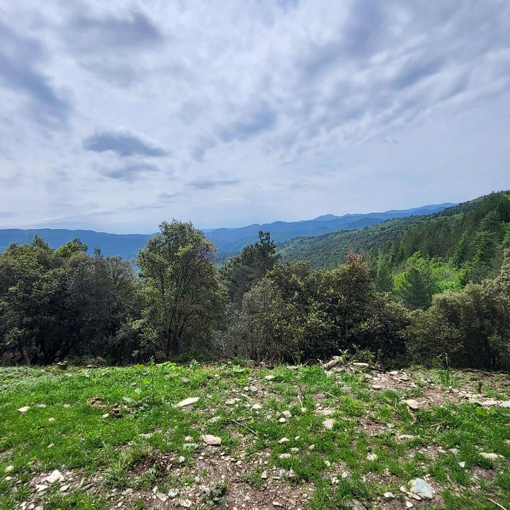
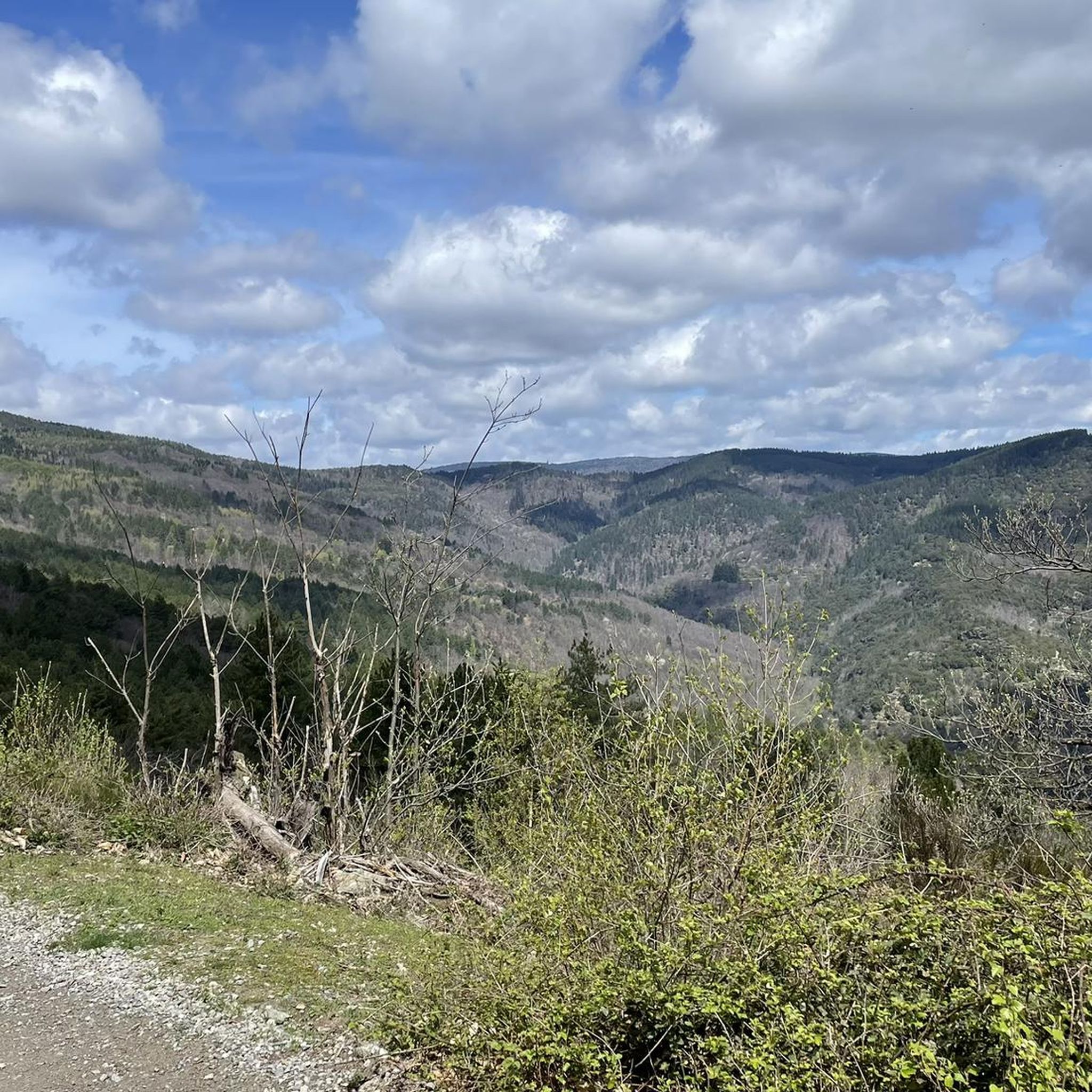
The Col du Sapet overlooks the heart of the Cévennes National Park at an altitude of 1,080 meters. It is located on Mont du Bougès and serves as a starting point for numerous hiking trails. This pass is also particularly popular with local cyclists, with its 450-meter elevation gain and views of the Cévennes Mountains.
0
0

magnificent view. Moderate difficulty. Beware of high heat.
0
0


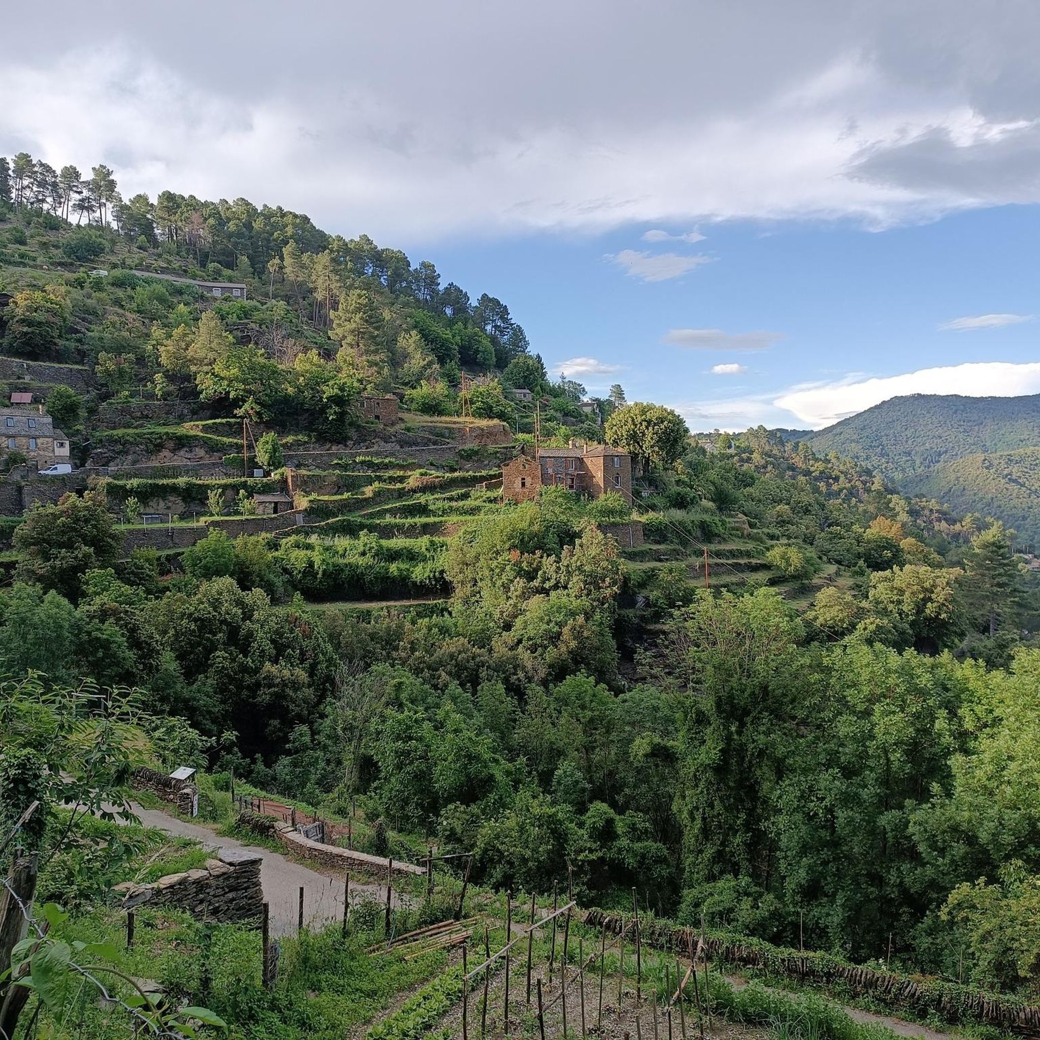
Beautiful village, located on the Tharn. Possible stop on the Stevenson Trail and the GR7
5
0


Very pretty, Ardèche energy, friendly
2
0

This is an excellent site for meeting cycling friends. However, the views of the surrounding area are splendid, despite a modest altitude of 1,088 meters.
0
0
Frequently Asked Questions
How many road cycling routes are available around Saint-Michel-De-Dèze?
There are over 35 road cycling routes around Saint-Michel-De-Dèze, offering a wide range of options for different skill levels. These routes traverse varied terrain, including valleys, rivers, and forests, often within the Cévennes National Park.
What kind of terrain and elevation can I expect on road cycling routes in this region?
The region around Saint-Michel-De-Dèze features a diverse topography, with altitudes ranging from 309m to 975m. Cyclists can expect significant elevation gains, with routes like Le Pont-de-Montvert – Sapet Pass loop from Saint-Hilaire-de-Lavit featuring nearly 1500 meters of ascent, providing challenging climbs and panoramic views.
Are there road cycling routes suitable for beginners or those looking for an easier ride?
While many routes in the area are rated moderate to difficult, there are options that offer a less strenuous experience. For example, the Portes Castle – Chateau de Portes loop from Le Collet-de-Dèze is a moderate 45 km route that can be completed in about 2 hours 15 minutes, offering diverse scenery without extreme climbs.
What natural landmarks or scenic viewpoints can I discover along the road cycling routes?
The region is rich in natural beauty. You can find stunning viewpoints like the Signal de Saint-Pierre Orientation Table or the Route des Crêtes – Panoramic View in Parc National des Cévennes. The broader Cévennes National Park, a UNESCO World Heritage Site, offers expansive views, rivers, and forests to explore.
Are there any historical or cultural attractions accessible by road bike?
Yes, the region blends natural beauty with historical sites. You might pass by the Saint-Germain-de-Calberte War Memorial and Tribute to the Cévenols or the Saint Stephen's Church. The area also features charming villages like Le Pont-de-Montvert with its historical significance, and ancient structures such as the Dolmen de Boustiga.
What is the best time of year for road cycling around Saint-Michel-De-Dèze?
The spring and autumn months generally offer the most pleasant conditions for road cycling in the Cévennes, with milder temperatures and beautiful scenery. Summer can be warm, especially in the valleys, but higher altitudes provide cooler air. Winter can bring colder temperatures and potential for snow at higher elevations, making it less ideal for road biking.
What do other cyclists say about road cycling in Saint-Michel-De-Dèze?
The road cycling routes around Saint-Michel-De-Dèze are highly rated by the komoot community, with an average score of 4.6 stars from over 20 reviews. Cyclists often praise the diverse terrain, the sense of freedom in the preserved natural spaces, and the challenging climbs that offer rewarding panoramic views of the Cévennes landscape.
Are there any long-distance or challenging road cycling routes for experienced riders?
Experienced riders will find plenty of challenging options. Routes like Baraque Pass (631 m) – Climb of the Croix des Vents loop from Saint-Hilaire-de-Lavit, a 69.7 km difficult trail with over 1000 meters of elevation gain, or Jalcreste Pass – Serre de Pradel Pass loop from La Combe de Ferriere, which covers 67.8 km with over 1400 meters of ascent, offer significant tests of endurance and skill.
Can I find circular road cycling routes in the area?
Yes, many of the road cycling routes around Saint-Michel-De-Dèze are designed as loops, allowing you to start and finish at the same point. Examples include the Col La Bégude loop from Le Collet-de-Dèze and the Le Pont-de-Montvert – Sapet Pass loop from Saint-Hilaire-de-Lavit, providing convenient options for exploring the region.
Is Saint-Michel-De-Dèze a good base for exploring the Cévennes National Park by road bike?
Absolutely. Saint-Michel-De-Dèze is ideally situated near the Cévennes National Park, a UNESCO World Heritage Site. The region's road cycling routes often traverse or offer views into the park, providing access to its diverse landscapes and preserved natural environment. For more information on the park's natural landscapes, you can visit Cévennes Tourisme.
Are there any specific regulations or permits required for cycling in the Cévennes National Park?
While general road cycling on public roads within the Cévennes National Park typically does not require special permits, it's always advisable to respect local regulations, especially concerning protected areas. Stay on marked routes and be mindful of wildlife and agricultural activities. For detailed information on leisure and outdoor activities, you can consult Cévennes Tourisme.
Most popular attractions around Saint-Michel-De-Dèze

Get inspired with the komoot mobile app


Explore more
Browse the best Road cycling routes in other regions.
