The best running trails around Les Ardillats
4.3
(35)
1,940
runners
119
runs
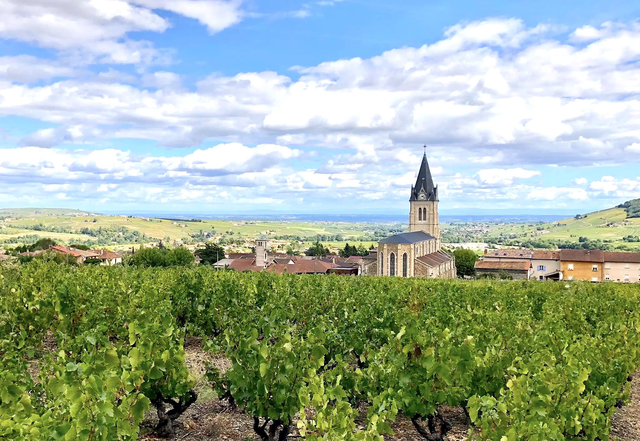
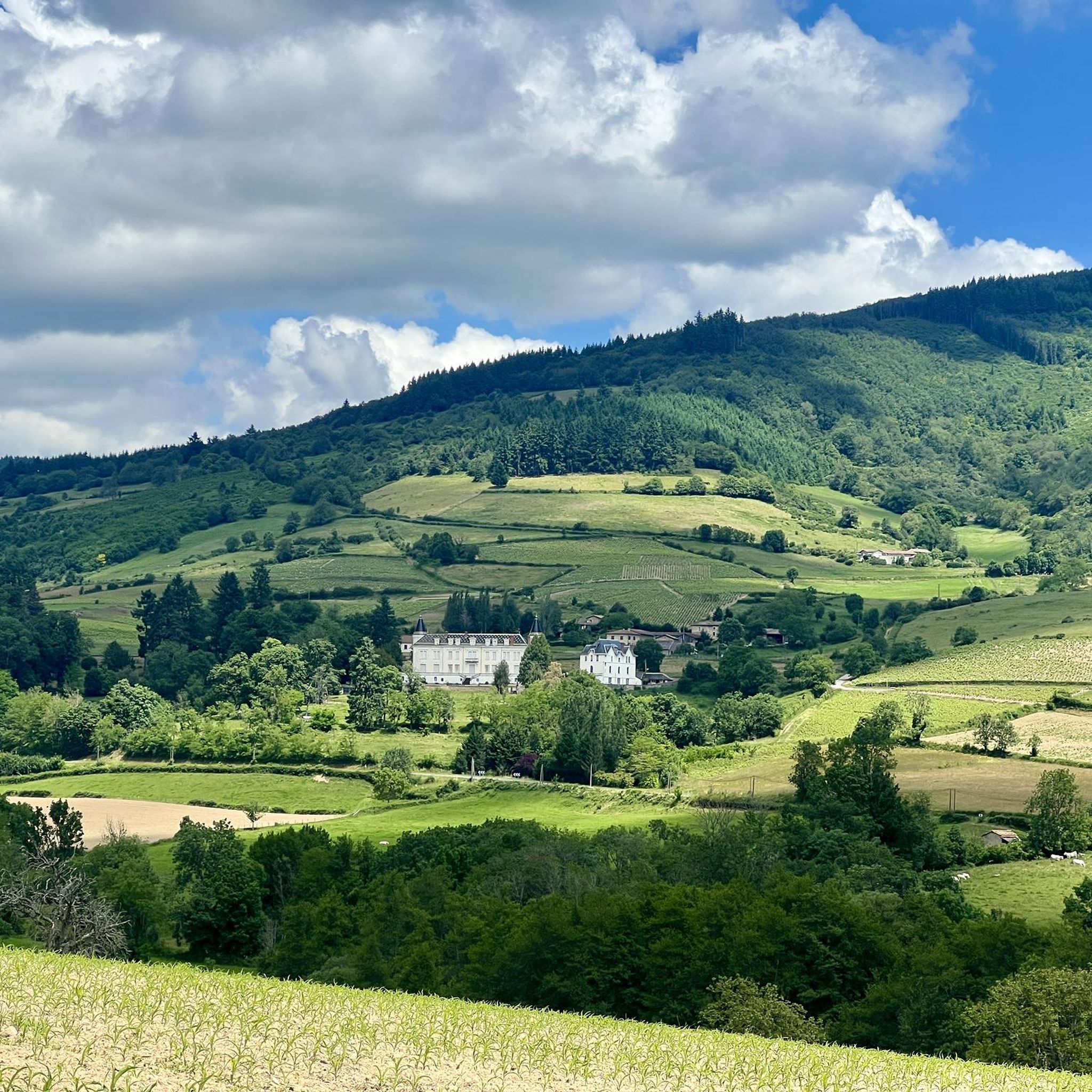
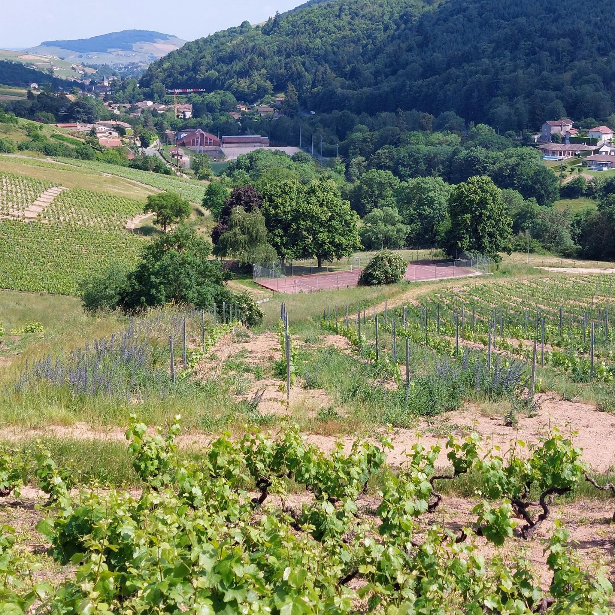
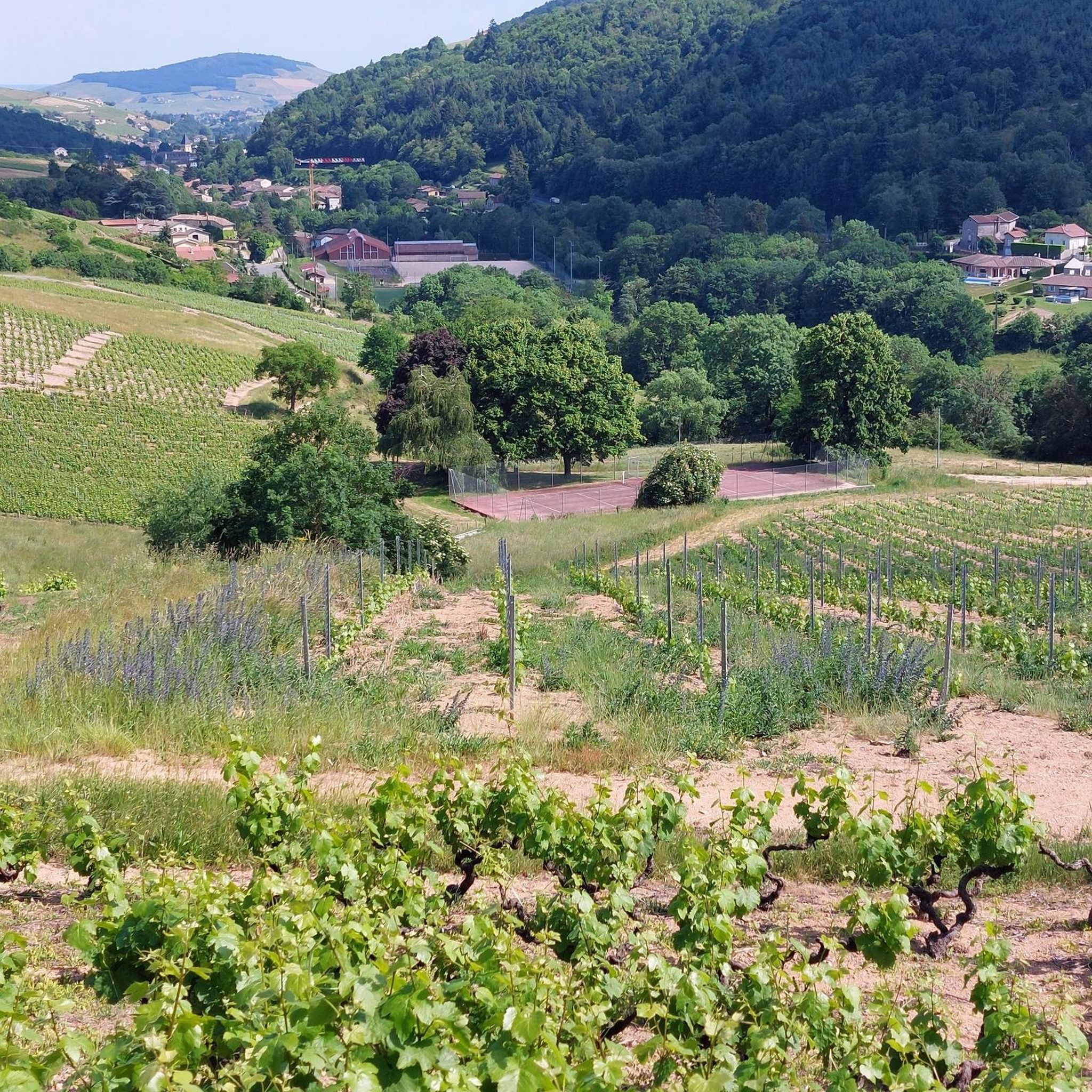
Jogging routes around Les Ardillats traverse a varied landscape in the Rhône department of France, characterized by peaceful valleys, vineyards, pastures, and forests. The region features significant geographical landmarks such as Montagne de Rochefort, Mont Tourvéon, and Mont Saint-Rigaud, the highest point in the Rhône at 1012 meters. This setting provides diverse terrain for running, from gentle slopes to more rigorous ascents. The Ardières river valley also offers varied running environments, including silviculture, viticultural zones, and meadows.
Best jogging routes…
Last updated: May 15, 2026
112
runners
6.10km
01:05
520m
520m
Hard run. Very good fitness required. Mostly paved surfaces. Suitable for all skill levels.
42
runners
23.5km
02:48
740m
740m
Hard run. Very good fitness required. Mostly paved surfaces. Suitable for all skill levels.

Sign up for free
3.3
(3)
68
runners
18.2km
02:30
850m
850m
Hard run. Very good fitness required. Mostly paved surfaces. Suitable for all skill levels.
9
runners
10.8km
01:34
550m
550m
Hard run. Very good fitness required. Mostly paved surfaces. Suitable for all skill levels.
7
runners
13.7km
01:36
430m
430m
Hard run. Very good fitness required. Mostly paved surfaces. Suitable for all skill levels.
Get access to more routes and recommendations from other explorers.
Sign up for free
Already have an account?
Our route recommendations are based on thousands of hikes, rides, and runs completed by other people on komoot.
Start today with a free account
Your next adventure awaits.
Login or Signup

Other adventures around Les Ardillats

Tips from the Community

Since a cross crowning the summit is often found on mountains, the small sacred monument found here – consisting only of the crossbeams, without the body of the crucified Christ – should come as no surprise to bikers. From its prominent location, this Christian symbol of salvation is visible from afar. The builders of the "Croix de Rochefort" certainly also intended to invoke God's blessing on the surrounding land – and especially the people living there. An orientation panel located a little way off explains the landscape to the viewer.
0
0

The roof of the Rhône, beautiful view of the upper Beaujolais
0
0
This old railway line is magnificent, all this work for having only been used for a few years.
0
0
cabin in the woods, shame it's not maintained
0
0

An imposing 6-meter white cross erected in 1931, weighing 1,200 kg and visible from Beaujeu. A symbol of protection for the Beaujolais region, it bears witness to a remarkable logistical feat during its installation.
0
0
The highest point at 892 meters offers an exceptional panorama of Beaujolais. Accessible by several routes, it represents a sporting challenge rewarded by breathtaking views.
1
0

Very beautiful panoramic view with orientation table at an altitude of 888 meters
0
0
Frequently Asked Questions
How many running routes are available around Les Ardillats?
There are over 125 running routes around Les Ardillats, catering to various preferences. Most are challenging, with 83 difficult and 41 moderate trails, and a few easier options.
Are there any easy jogging routes for beginners in Les Ardillats?
While many routes are challenging, there is at least one easy jogging route available. The region's diverse terrain means you can find paths with gentler slopes, especially in the valleys, though most listed routes tend to be more demanding.
What are some of the more challenging running trails in the Les Ardillats area?
For advanced runners, the region offers significant challenges. Trails like the Mount Saint-Rigaud – The Châtelard viaduct loop from Monsols, spanning nearly 24 km with over 760 meters of ascent, provide a rigorous workout. Another demanding option is the Rochefort Cross loop from Saint-Didier-sur-Beaujeu, an 18.3 km trail with over 840 meters of elevation gain.
What kind of terrain can I expect on the running trails in Les Ardillats?
The terrain around Les Ardillats is highly varied, offering a mix of wooded paths, open meadows, and trails winding through vineyards. You'll encounter everything from peaceful valleys to significant ascents towards peaks like Mont Saint-Rigaud, the highest point in the Rhône. The Ardières river valley also provides diverse environments, including silviculture and viticultural zones.
Are there any circular jogging routes in Les Ardillats?
Yes, many of the routes in the region are circular, allowing you to start and finish in the same location. For example, the Rochefort Cross loop from Beaujeu is a popular 6.1 km circular route. The region also features a 15 km "Haut Beaujolais discovery loop" starting and finishing in Les Ardillats, and the "Circuit du Château" which is a 22 km route with shorter variants.
What interesting landmarks or viewpoints can I see along the running trails?
The trails offer numerous points of interest and panoramic views. You can encounter landmarks such as Rochefort Cross and Cross of Forces. For stunning vistas, routes leading to Mount Saint-Rigaud or Mont Brouilly are highly recommended, offering expansive views across the Haut Beaujolais region, vineyards, and even the Alps.
Is Les Ardillats a good place for family-friendly running or walking?
While many routes are challenging, the diverse trail network means there are options for various fitness levels. You can find more accessible paths in the valleys or shorter variants of longer circuits, such as the "Circuit du Château" which has 4 km variants, suitable for families looking for a less strenuous outing.
What do other runners enjoy most about jogging in Les Ardillats?
The area is highly rated by the komoot community, with an average score of 4.3 stars from over 30 reviews. Reviewers often praise the varied terrain, from peaceful valleys to challenging ascents, and the stunning panoramic views from peaks like Mont Saint-Rigaud. The well-maintained and extensive trail network also receives positive feedback.
Are there any resources for runners or hikers in the Les Ardillats area?
Yes, the "Maison de la Randonnée et du Trail" (House of Hiking and Trail Running), located near Les Ardillats, is a valuable resource. It provides information and support for outdoor enthusiasts, including runners. The wider "Beaujolais Vert" area also promotes outdoor sports through events like "Outdoor Sports Workshops" to improve running techniques.
What is the best time of year for running in Les Ardillats?
Les Ardillats offers enjoyable running conditions across multiple seasons due to its diverse landscapes. Spring and autumn are particularly pleasant with mild temperatures and vibrant scenery. However, the region's varied terrain, including wooded sections, can also provide suitable conditions for winter jogging, though some higher elevation trails might be more challenging.
Are there any running routes that pass by the Ardières River?
Yes, the Ardières river originates in Les Ardillats, and its valley offers varied running environments. You can find trails that traverse areas dominated by silviculture and livestock upstream, viticultural zones in the middle section, and cereal crops and meadows downstream, providing a scenic experience alongside the river.
Where can I find parking for the running trails in Les Ardillats?
While specific parking locations for every trail are not detailed, many routes, especially those starting from villages like Beaujeu or Monsols, typically have designated parking areas. For routes like the Rochefort Cross loop from Beaujeu or the Mount Saint-Rigaud – The Châtelard viaduct loop from Monsols, you can usually find parking within or near these starting points.
Most popular attractions around Les Ardillats

Get inspired with the komoot mobile app


Explore more
Browse the best Running Trails & Routes in other regions.
