The best MTB trails around Saint-Point
4.2
(137)
587
riders
81
rides
Mountain biking around Saint-Point offers diverse landscapes within the Jura region of France, characterized by its varied terrain and natural features. The area includes Lake Saint-Point, one of France's largest lakes, providing scenic backdrops for rides. Elevations vary, with trails ranging from moderate to difficult, often featuring significant climbs and descents. This region provides a mix of forest paths, lakeside trails, and open areas suitable for mountain biking.
Best mountain bike trails around Saint-Point
- The most popular mountain bike trail…
Last updated: October 28, 2026
3.0
(1)
5
riders
28.5km
03:04
900m
900m
Hard mountain bike ride. Very good fitness required.
3.5
(2)
4
riders
23.2km
02:17
610m
610m
Moderate mountain bike ride. Good fitness required.

4.0
(1)
5
riders
49.3km
04:11
920m
920m
Hard mountain bike ride. Very good fitness required.
7
riders
15.6km
01:29
370m
370m
Moderate mountain bike ride. Good fitness required.
5
riders
27.2km
01:51
410m
420m
Moderate mountain bike ride. Good fitness required.
Get access to more routes and recommendations from other explorers.
Already have an account?
Our route recommendations are based on thousands of hikes, rides, and runs completed by other people on komoot.
Start today with a free account
Your next adventure awaits.
Tips from the Community

Although the pass is located in France and is not extremely high, its name translates to "Siberia Pass". The name goes back to the often very cold, snow-rich winds and the harsh weather conditions in winter.
1
0
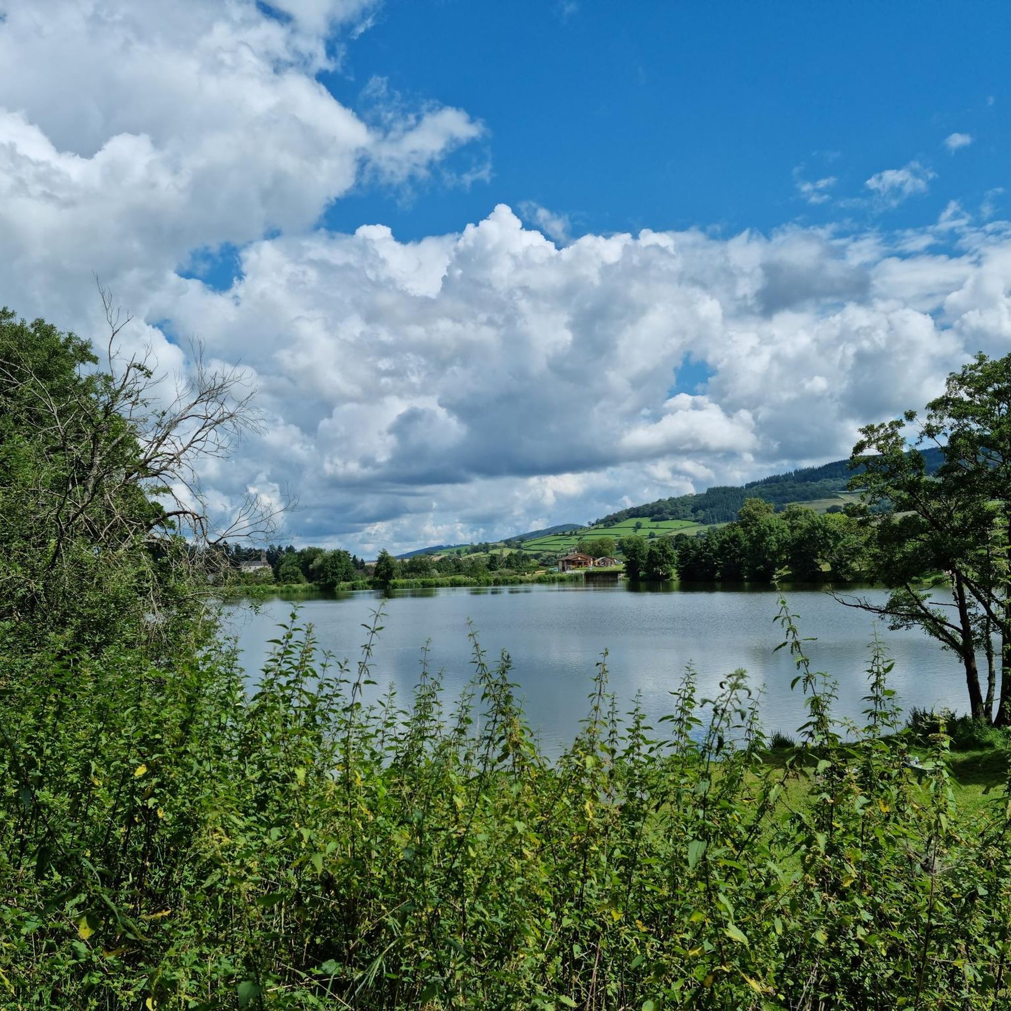
The lake is located in the Doubs department in the French region of Bourgogne-Franche-Comté at an altitude of around 850 meters. After Lac du Bourget and Lac d'Annecy, it is the third largest natural lake in France. It is a very popular lake for swimming in the summer and offers opportunities for kayaking, windsurfing, and stand-up paddling. There is also a popular hiking trail around the entire lake, approximately 20 kilometers long.
1
0
The Col de Gerbet (612 m) is an idyllic mountain pass in the French wine-growing region of Beaujolais. Depending on the starting point, various roads with little traffic lead up to the pass via the D137. From Juliénas (south-east approach): This route is 7.3 kilometers long. It overcomes 342 meters of altitude with a steady, moderate gradient of 4.7% on average. The road winds through shady forest sections. From La Croix Blanche (west approach): A tougher variant 4.5 kilometers long. Here you conquer 270 meters of altitude with an average gradient of 6% and ramps of up to 11%.
1
0
The Col du Bois Clair is a 396-meter high French mountain pass in the Massif Central. It is located in the Bourgogne-Franche-Comté region in the Saône-et-Loire department and lies within the municipality of Sologny. The pass summit is crossed by the departmental road D17. Beneath the pass runs the Tunnel du Bois Clair, a former railway tunnel. At 1.6 kilometers long, it is the longest tunnel in France accessible to bicycles. Today it serves as part of the Voie Verte cycle path, but is closed from October to April to protect hibernating bats.
0
0
The Château de Berzé-le-Châtel (also Forteresse de Berzé) is the largest and best-preserved medieval castle in Southern Burgundy. The complex dates back to a 10th-century castrum and was strategically built on a rocky outcrop to protect the nearby powerful Abbey of Cluny. The fortress consists of three ring walls and has 13 towers (including two keeps/donjons) as well as an imposing gatehouse. The heart of the interior is a remarkable Carolingian chapel.
1
0
The Croix de Roche Coche, a summit cross on the La Roche Coche viewpoint in the French municipality of Berzé-la-Ville (Burgundy/Saône-et-Loire region). The rocky summit is at an altitude of 455 meters and offers a wide panorama of the Val Lamartinien.
2
0
The Pierreclos Castle (Château de Pierreclos) is a historic, Romanesque castle complex and a renowned winery. The origins date back to the 9th to 11th centuries, starting with a Romanesque chapel. In the 13th century, the complex was expanded into a medieval fortress. It is now protected as a private historical monument. The castle is located on a rocky outcrop that has been used for viticulture since the 6th century. The Pidault family's winery produces organically certified white and red wines (including Pouilly-Fuissé and Mâcon-Pierreclos).
2
0

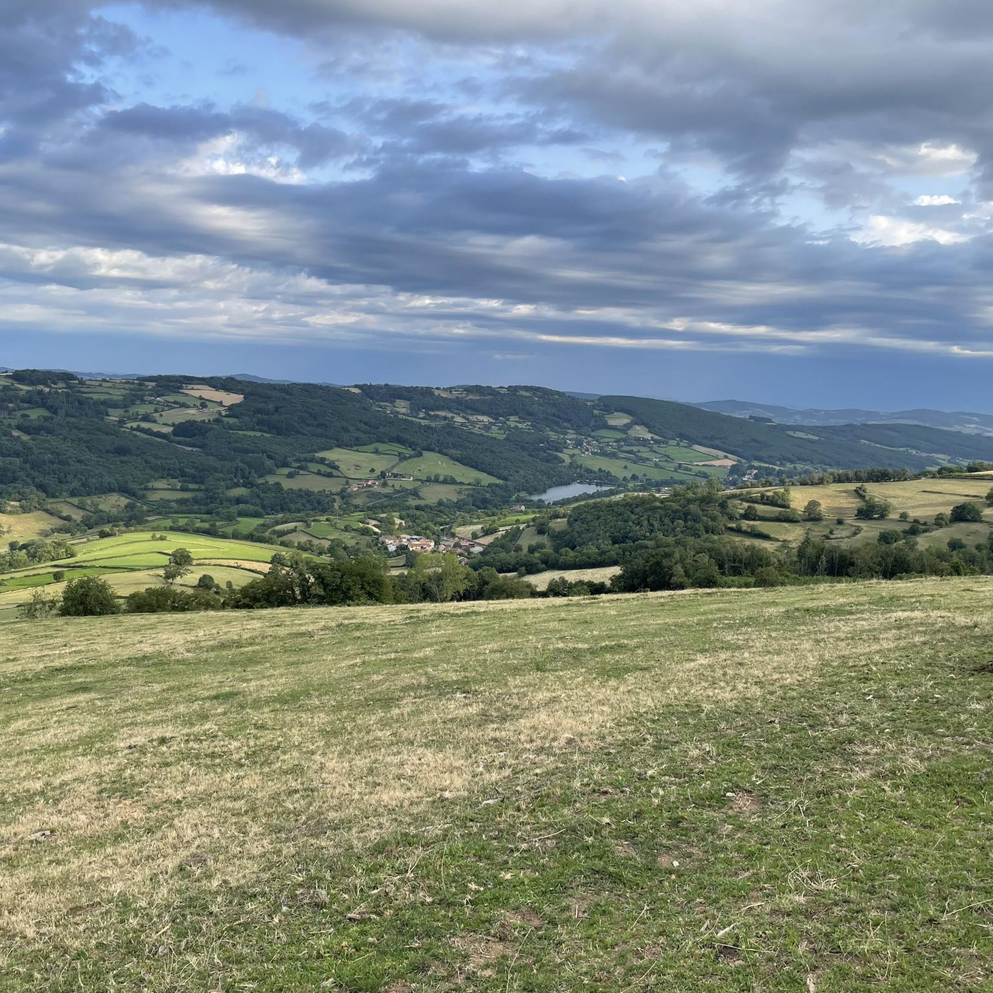
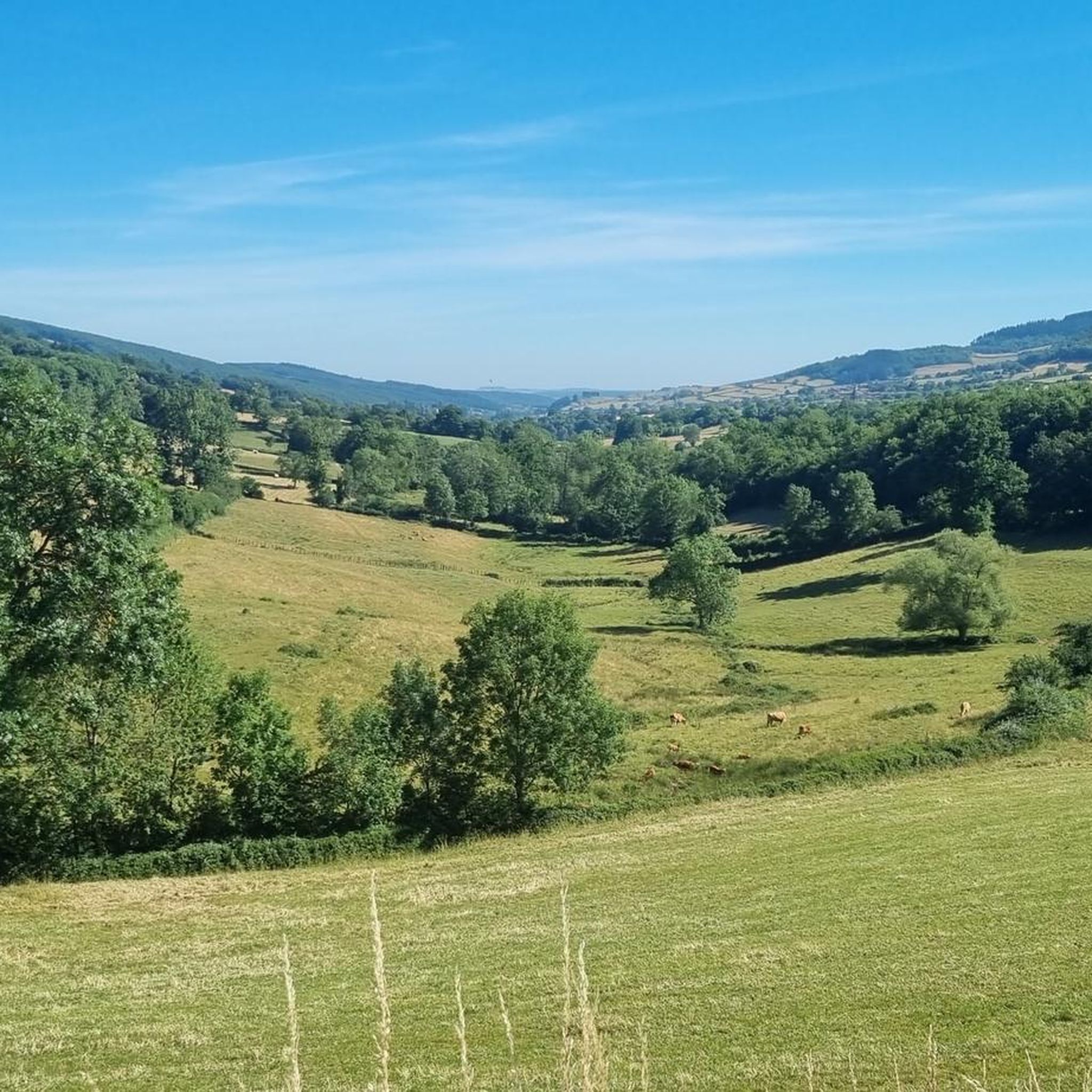
Beautiful view of the Lamartine Valley
1
0
Frequently Asked Questions
How many mountain bike trails are available around Saint-Point, and what are their difficulty levels?
There are over 75 mountain bike trails around Saint-Point. The majority, about 59, are rated as moderate, offering a good balance of challenge and accessibility. For those seeking more demanding rides, there are 17 difficult trails, while 3 easy trails are available for a more relaxed experience. The diverse terrain of the Jura region ensures options for various skill levels.
What kind of terrain and elevation can I expect on mountain bike trails in Saint-Point?
Mountain biking around Saint-Point features diverse landscapes within the Jura region. You can expect varied terrain, including forest paths, lakeside trails, and open areas. Trails often involve significant climbs and descents, with elevation gains ranging from around 360m on moderate routes to over 900m on more difficult ones. For example, the Siberia Pass (638 m) – Access to Tête du Pis loop from Les Fougères has an elevation gain of over 900m.
Are there any family-friendly mountain bike trails in the Saint-Point area?
Yes, there are a few easy mountain bike trails suitable for families or beginners around Saint-Point. While most routes are moderate, these easier options provide a gentler introduction to the region's beautiful scenery. For families with some riding experience, many of the moderate trails can also be enjoyable, offering varied terrain without extreme technical challenges.
What are some notable natural features or landmarks I can see while mountain biking near Saint-Point?
The region around Saint-Point is rich in natural beauty and historical sites. You'll often ride with scenic views of Lake Saint-Point, one of France's largest lakes. Other nearby attractions include the Roche de Solutré and Vergisson Rock, both offering spectacular panoramic views. The Lake Saint-Point – Tramayes loop from Tramayes, for instance, takes you through the scenic lake area.
Are there any mountain bike trails that are circular or loop routes around Saint-Point?
Many mountain bike trails around Saint-Point are designed as loops, allowing you to start and finish at the same point. Examples include the Lamartine House – Pierreclos Castle loop from Sologny, a moderate 23.2 km route, and the more challenging Siberia Pass (638 m) – Access to Tête du Pis loop from Les Fougères, which is a 28.5 km loop. These circular routes are convenient for exploration.
What do other mountain bikers enjoy most about mountain biking in Saint-Point?
The mountain biking experience in Saint-Point is highly rated by the komoot community, with an average score of 4.2 stars from over 90 reviews. Riders often praise the diverse landscapes of the Jura region, the serene views of Lake Saint-Point, and the variety of trails catering to different ability levels. Many appreciate the mix of forest paths, lakeside routes, and open areas.
Are there any long-distance mountain bike trails available near Saint-Point?
Yes, Saint-Point offers several longer mountain bike trails for those looking for extended rides. For example, the Lake Saint-Point – Tramayes loop from Tramayes is a substantial 49.1 km trail that typically takes over 4 hours to complete. These longer routes allow for deeper exploration of the region's diverse terrain and scenic beauty.
What is the best time of year to go mountain biking in Saint-Point?
The Jura region, including Saint-Point, is generally best for mountain biking from spring through autumn. During these seasons, the weather is typically milder, and trails are more accessible. Summer offers warm conditions, perfect for lakeside rides, while spring and autumn provide cooler temperatures and vibrant foliage. Winter can bring snow, making some trails impassable for mountain biking.
Are there any mountain bike trails in Saint-Point that pass by historical sites or castles?
Yes, some mountain bike trails in the Saint-Point area offer glimpses of historical landmarks. For instance, the Lamartine House – Pierreclos Castle loop from Sologny winds through varied terrain and provides views of historical sites like Pierreclos Castle. The region also has other castles like the Medieval fortress of Berzé-le-Châtel nearby.
Are there options for advanced mountain bikers seeking challenging routes in Saint-Point?
Absolutely. Saint-Point offers 17 trails rated as difficult, designed for advanced mountain bikers. These routes often feature substantial elevation gains and technical sections. An example is the Siberia Pass (638 m) – Access to Tête du Pis loop from Les Fougères, a 28.5 km trail with over 900m of elevation gain, providing panoramic views and a demanding ride.
Can I find less crowded mountain bike trails near Saint-Point?
While Saint-Point is a popular destination, its extensive network of over 75 trails means you can often find less crowded options, especially on weekdays or by exploring routes slightly further from the main lakefront areas. Opting for trails rated as 'difficult' might also lead to fewer riders, as they require a higher skill level and fitness.
Are there any mountain bike trails that offer great viewpoints in the Saint-Point region?
Many trails in the Saint-Point region offer spectacular viewpoints, thanks to the varied elevation and natural monuments. The Siberia Pass (638 m) – Access to Tête du Pis loop from Les Fougères, for example, provides panoramic views of the surrounding Jura landscape. Additionally, nearby natural monuments like Roche de Solutré and Vergisson Rock offer unmissable vistas over the Mâconnais vineyards and Beaujolais valley.
Most popular routes around Saint-Point
Most popular attractions around Saint-Point

Get inspired with the komoot mobile app


Explore more
Browse the best MTB trails in other regions.
