The best walks and hikes around Soucé
4.5
(56)
241
hikers
19
hikes
Hiking around Soucé offers diverse landscapes for outdoor exploration. The region is characterized by the River Mayenne and its extensive towpath, providing tranquil routes through a well-preserved natural environment. Hikers can also discover areas featuring ravines, forests, and valleys, with varied topography including hills. The natural settings ensure a range of hiking experiences, from riverside paths to routes through wooded areas.
Best hiking trails around Soucé
- The most popular hiking route is Au Long du Lac Trail, a 9.3 miles (14.9 km) trail that takes 3 hours 55 minutes to complete. This moderate route explores the area around the lake.
- Another top favourite among local hikers is Viaduc de la Rosserie – View of the River Mayenne loop from Ambrières-les-Vallées, an easy 3.6 miles (5.8 km) path. This route offers views of the River Mayenne and incorporates the historic Viaduc de la Rosserie.
- Local hikers also love the Mount Margantin loop from Avrilly, a 6.6 miles (10.6 km) trail leading through varied terrain, often completed in about 2 hours 53 minutes.
- Hiking around Soucé is defined by riverside towpaths, wooded areas, and gentle hills, with options for both easy strolls and more challenging routes. The network offers options for different ability levels, from short, easy hikes to longer, moderate excursions.
- The routes in Soucé are highly rated by the komoot community with an average score of 4.6 stars from more than 40 reviews. More than 200 hikers have used komoot to explore Soucé's varied terrain.
Last updated: August 1, 2026
4.6
(10)
33
hikers
14.9km
03:55
120m
120m
Moderate hike. Good fitness required. Easily-accessible paths. Suitable for all skill levels.
4.8
(8)
30
hikers
Easy hike. Great for any fitness level. Easily-accessible paths. Suitable for all skill levels.

Sign up for free
4.7
(7)
24
hikers
Easy hike. Great for any fitness level. Easily-accessible paths. Suitable for all skill levels.
5.0
(1)
12
hikers
Moderate hike. Good fitness required. Easily-accessible paths. Suitable for all skill levels.
4.4
(12)
42
hikers
Moderate hike. Good fitness required. Easily-accessible paths. Suitable for all skill levels.
Get access to more routes and recommendations from other explorers.
Sign up for free
Already have an account?
Our route recommendations are based on thousands of hikes, rides, and runs completed by other people on komoot.
Start today with a free account
Your next adventure awaits.
Login or Signup



Tips from the Community

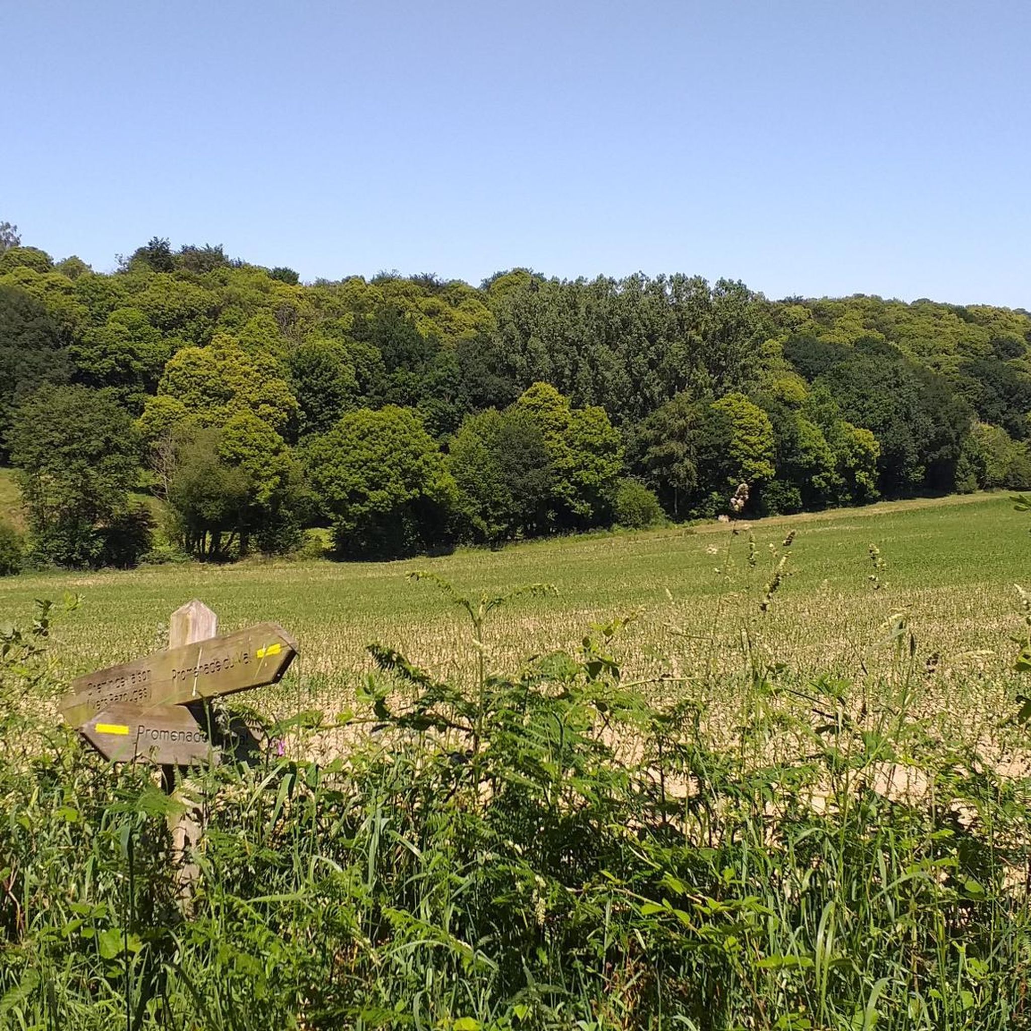
Marking of the cycle path 🚴♂️💪🏼🌳
0
0
Beautiful old house, which is privately owned
0
0
Nice swimming pool at the campsite 🏕️
1
0
Great old railway bridge over the river
1
0
small pool by the water but be careful, you have to wear tight pants, baggy pants don't work
1
0
very pleasant old station building
1
0
Frequently Asked Questions
How many hiking trails are available around Soucé?
Soucé offers a good selection of hiking opportunities, with over 20 trails recorded on komoot. These routes cater to various preferences, from easy strolls to more moderate excursions through the region's diverse landscapes.
Are there easy hikes suitable for beginners or families in Soucé?
Yes, Soucé is very welcoming for beginners and families, with 13 easy routes available. A great option is the Viaduc de la Rosserie – View of the River Mayenne loop from Ambrières-les-Vallées, an easy 3.6-mile (5.8 km) path that offers scenic views of the River Mayenne and incorporates the historic Viaduc de la Rosserie. Another gentle choice is the Étang de La Pisse loop from Saint-Fraimbault, a shorter 1.7-mile (2.7 km) trail perfect for a relaxed outing.
What kind of landscapes can I expect to see while hiking in Soucé?
Hiking in Soucé offers a blend of tranquil riverine scenery, lush greenways, and historical structures. You'll find trails along the Mayenne River, through wooded areas, and across gentle hills. Many paths follow former railway lines, providing accessible routes with panoramic views, often featuring impressive viaducts like the Viaduc de la Rosserie.
Are there any circular walks available in Soucé?
Absolutely. Many of the trails in Soucé are designed as loops, allowing you to start and end at the same point. Popular circular options include the Mount Margantin loop from Avrilly, a moderate 6.6-mile (10.6 km) trail, and the Around the lake – Très joli ravin loop from Ambrières-les-Vallées, an easy 4.2-mile (6.8 km) route.
What are some notable landmarks or points of interest I can see on a hike?
Soucé's trails often lead past interesting features. You can explore the Greenway in Saint-Loup-du-Gast for scenic views, or discover architectural marvels like the Viaduc de la Rosserie and the Viaduct over the Mayenne. The tranquil Étang de La Pisse is also a beautiful spot to visit.
What is the best time of year to go hiking in Soucé?
The Pays de la Loire region, including Soucé, is generally pleasant for hiking from spring through autumn. Spring brings blooming flora, while autumn offers beautiful foliage. The extensive greenways and river paths provide comfortable walking conditions during these seasons, allowing you to fully enjoy the natural beauty.
Are there any longer, more challenging hikes for experienced hikers?
While Soucé primarily features easy to moderate trails, the longest route, the Au Long du Lac Trail, offers a more extended experience. This moderate 9.3-mile (14.9 km) trail takes approximately 3 hours 55 minutes to complete, exploring the area around the lake with varied terrain.
What do other hikers enjoy most about hiking in Soucé?
The komoot community highly rates the trails around Soucé, with an average score of 4.6 stars from over 40 reviews. Hikers often praise the serene river landscapes, the well-maintained greenways, and the peaceful atmosphere that allows for a truly immersive outdoor experience.
Can I access hiking trails in Soucé using public transport?
While specific public transport links directly to trailheads might be limited in rural areas like Soucé, many routes are accessible from villages and towns within the region. It's advisable to check local bus schedules or consider driving to a starting point, as parking is often available near popular trail access points.
Are the hiking trails in Soucé generally well-marked?
Many of the greenways and established hiking paths in the Soucé area, particularly those following former railway lines, are known for being well-maintained and clearly marked. This makes navigation straightforward, allowing hikers to focus on enjoying the scenery.
What are the typical durations for hikes in Soucé?
Hikes in Soucé vary in duration to suit different schedules. You can find shorter walks like the Étang de La Pisse loop from Saint-Fraimbault, which takes about 45 minutes, up to longer excursions such as the Au Long du Lac Trail, which typically takes around 4 hours.
Most popular attractions around Soucé

Get inspired with the komoot mobile app


Explore more
Browse the best Hikes in other regions.
