The best road cycling routes around Villepail
4.5
(13)
989
riders
291
rides
Road cycling routes around Villepail offer a varied landscape within the Normandie-Maine Regional Natural Park. The region features elevations ranging from 168 to 383 meters, providing a dynamic terrain with both climbs and descents. Cyclists will find a mix of rolling hills, dense forests, and prominent natural features like the Corniche de Pail and Mont des Avaloirs. The area's well-maintained roads and diverse topography make it suitable for various road cycling experiences.
Best road cycling routes around Villepail
- The most…
Last updated: May 21, 2026
5.0
(1)
12
riders
Moderate road ride. Good fitness required. Mostly well-paved surfaces and easy to ride.
9
riders
Moderate road ride. Good fitness required. Mostly well-paved surfaces and easy to ride.

Sign up for free
6
riders
46.2km
02:09
480m
480m
Moderate road ride. Good fitness required. Mostly well-paved surfaces and easy to ride.
5.0
(1)
13
riders
Moderate road ride. Good fitness required. Mostly well-paved surfaces and easy to ride.
3
riders
62.5km
03:02
850m
850m
Moderate road ride. Good fitness required. Mostly well-paved surfaces and easy to ride.
Get access to more routes and recommendations from other explorers.
Sign up for free
Already have an account?
Our route recommendations are based on thousands of hikes, rides, and runs completed by other people on komoot.
Start today with a free account
Your next adventure awaits.
Login or Signup
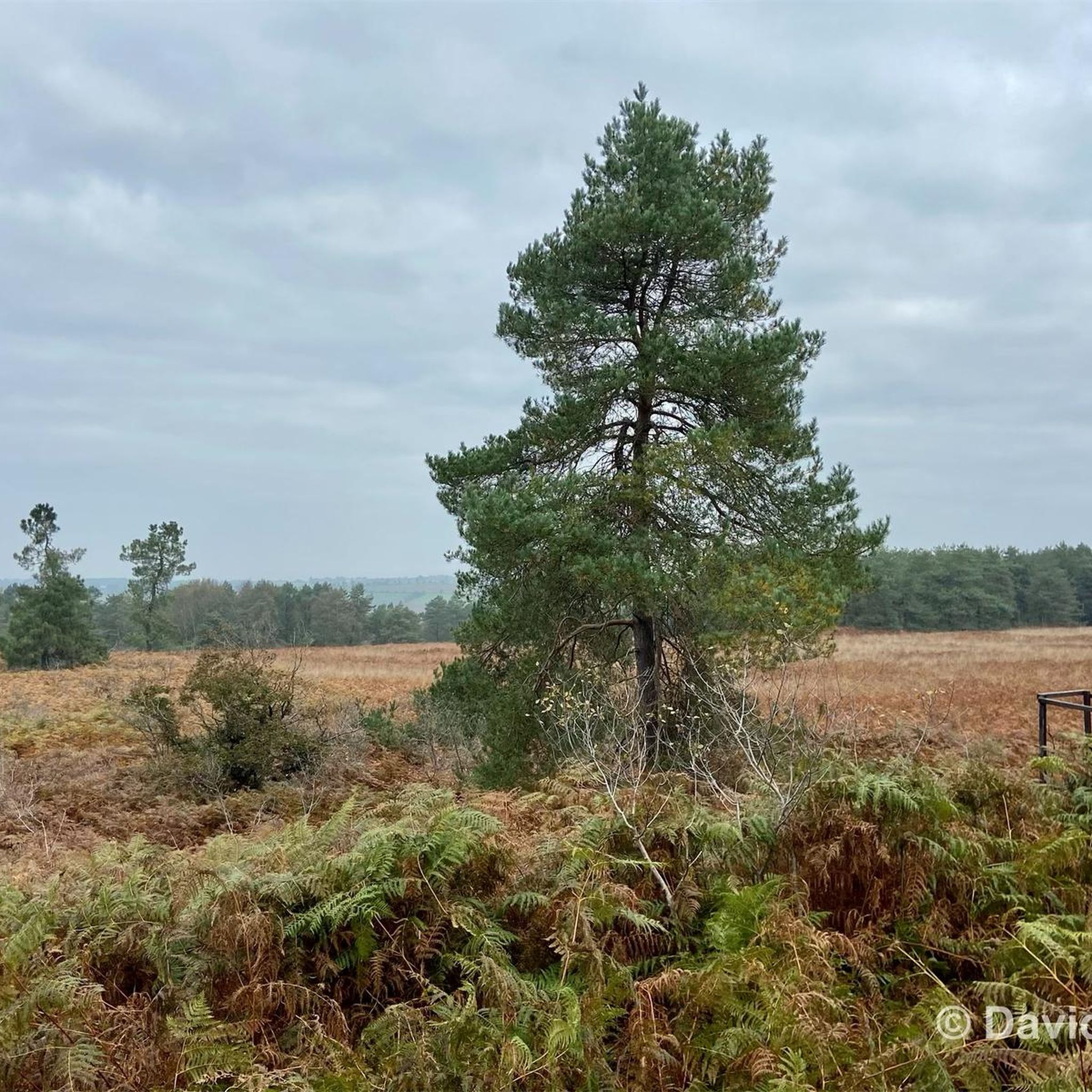
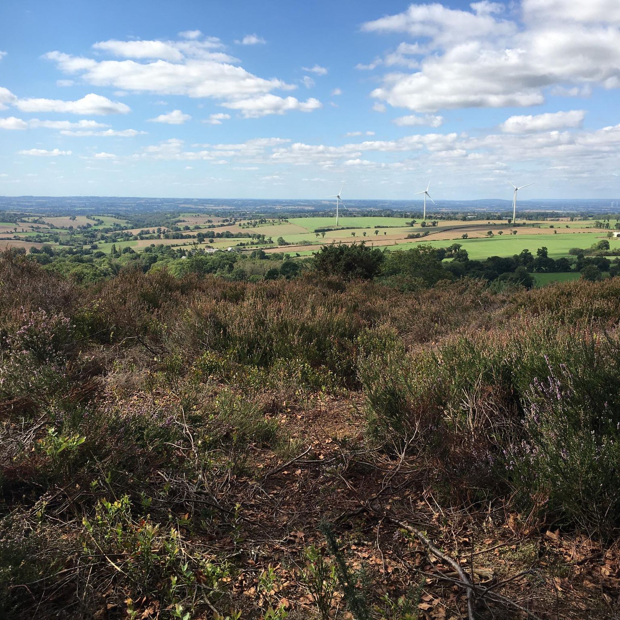
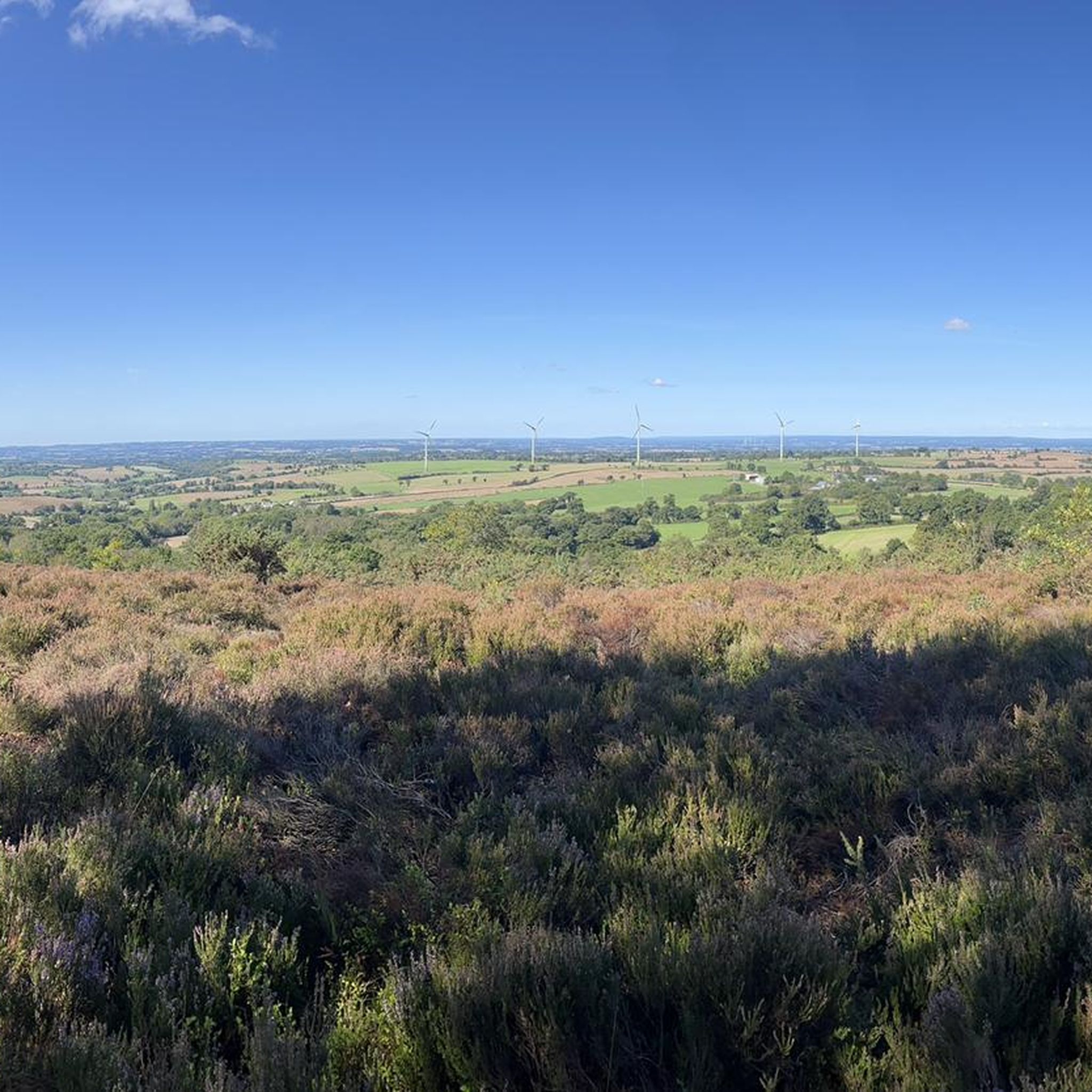
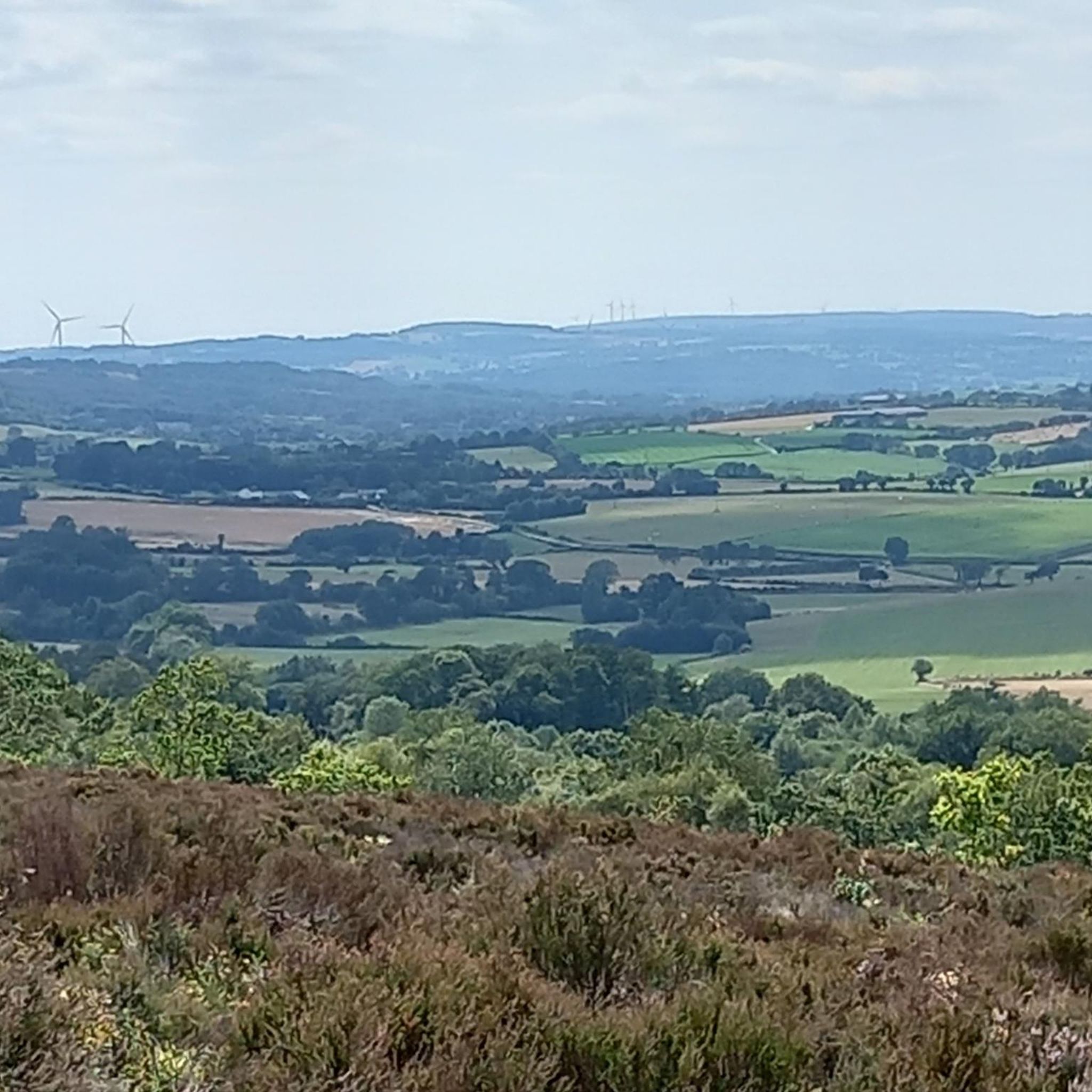

Tips from the Community

Riding up there by bike was quite strenuous, but the view from the top was worth the effort. It was well worth it.
0
0

The church dates from the 13th and 16th centuries. The bell tower, porch, transept, and choir have been listed as historic monuments since December 22, 1927.
0
0

very varied and pleasant hike
0
0

An endless false flat. Remember to carry water because there's nothing to refuel.
0
0

Beautiful 360 degree view
1
0
This neo-Gothic style church saw its first stone laid on July 6, 1880 and was consecrated in 1883. It replaced an old church which dated from the Middle Ages and which was considered too small for masses.
0
0

Located in Mayenne, Mont des Avaloirs is the highest point of the Armorican massif. It is part of the Normandy-Maine Regional Natural Park and enjoys the status of a Global Geopark. The belvedere, built in 1994 and covered with a magnificent colorful fresco, painted in 2019 by the Franco-British artist Seb Toussaint. It offers a 360° view of all the surrounding forests and peaks.
0
0

Super grocery store with local products and on-site catering
0
0
Frequently Asked Questions
How many road cycling routes are available around Villepail?
There are over 270 road cycling routes around Villepail, offering a wide variety of options for different skill levels and preferences within the Normandie-Maine Regional Natural Park.
What is the best time of year for road cycling in Villepail?
The Normandie-Maine Regional Natural Park, where Villepail is located, is particularly enjoyable for cycling in spring and autumn. During these seasons, the weather is generally mild, and the natural landscapes are at their most vibrant, offering pleasant conditions for exploring the varied terrain.
Are there any easy road cycling routes suitable for beginners in Villepail?
Yes, Villepail offers 15 easy road cycling routes. These routes typically feature less elevation gain and shorter distances, making them ideal for beginners or those looking for a more relaxed ride. While specific route names are not provided for easy routes, komoot offers a selection to choose from.
What kind of terrain can I expect on road cycling routes around Villepail?
Road cycling around Villepail features a dynamic terrain with varying elevations, ranging from 168 to 383 meters. You can expect a mix of rolling hills, dense forests like the Multonne and Pail Forests, and prominent natural features such as La Corniche de Pail. Many routes include significant climbs and rewarding descents.
Are there any challenging road cycling routes for experienced riders?
Absolutely. Villepail offers 30 difficult road cycling routes, designed for experienced riders seeking significant elevation gains and longer distances. An example of a challenging route is the Sherman tank – Multonne Forest loop from Communauté de communes du Mont des Avaloirs, which covers 75.6 km with over 1000 meters of elevation gain.
What are some notable landmarks or viewpoints I can see along the cycling routes?
Many routes offer access to significant natural landmarks and viewpoints. You can climb to the Mont des Avaloirs viewpoint, the highest point of the Armorican Massif, for panoramic views. The Mont des Avaloirs viewpoint – Multonne Forest loop from Communauté de communes du Mont des Avaloirs incorporates this ascent. Another prominent feature is La Corniche de Pail, an 8 km sandstone ridge, which you can experience on routes like The Pail Ridge – Pré-en-Pail loop from Javron-les-Chapelles.
Are there any circular road cycling routes in the area?
Yes, many of the road cycling routes around Villepail are designed as loops, allowing you to start and finish at the same point. Examples include the Saint-Cénéri-le-Gérei – Saint-Léonard-des-Bois loop from Communauté de communes du Mont des Avaloirs and The Pail Ridge – Pré-en-Pail loop from Saint-Cyr-en-Pail.
What do other road cyclists say about the routes in Villepail?
The road cycling routes in Villepail are highly rated by the komoot community, with an average score of 4.3 stars from over 10 reviews. Over 1000 road cyclists have used komoot to explore the varied terrain, often praising the quiet, well-paved roads and the scenic beauty of the Normandie-Maine Regional Natural Park.
Are there any family-friendly road cycling options around Villepail?
While many road cycling routes in Villepail feature significant elevation changes, there are 15 easy routes that could be suitable for families with older children or those looking for a less strenuous ride. These routes typically avoid the most challenging climbs and offer a more relaxed pace through the scenic countryside.
Is public transport available to access road cycling routes in Villepail?
Information on specific public transport links directly to the start points of all road cycling routes is limited. It is generally recommended to plan your journey by car, especially if you are bringing your own bicycle, as rural areas like Villepail may have less frequent public transport services.
Where can I find parking for road cycling routes in Villepail?
While specific parking locations for every route are not detailed, many routes start from villages or communal areas where public parking is typically available. For routes originating from Communauté de communes du Mont des Avaloirs or Javron-les-Chapelles, you can usually find parking within these towns to begin your ride.
Are there cafes or pubs near the road cycling routes in Villepail?
Yes, many road cycling routes pass through or near charming villages in the region. For example, the Saint-Cénéri-le-Gérei – Saint-Léonard-des-Bois loop from Communauté de communes du Mont des Avaloirs passes through the picturesque village of Saint-Cénéri-le-Gérei, where you can find local amenities. Pré-en-Pail, mentioned in routes like The Pail Ridge – Pré-en-Pail loop from Javron-les-Chapelles, also offers facilities for cyclists.
Most popular attractions around Villepail

Get inspired with the komoot mobile app


Explore more
Browse the best Road cycling routes in other regions.
