The best running trails around Quincié-En-Beaujolais
4.4
(43)
1,731
runners
16
runs
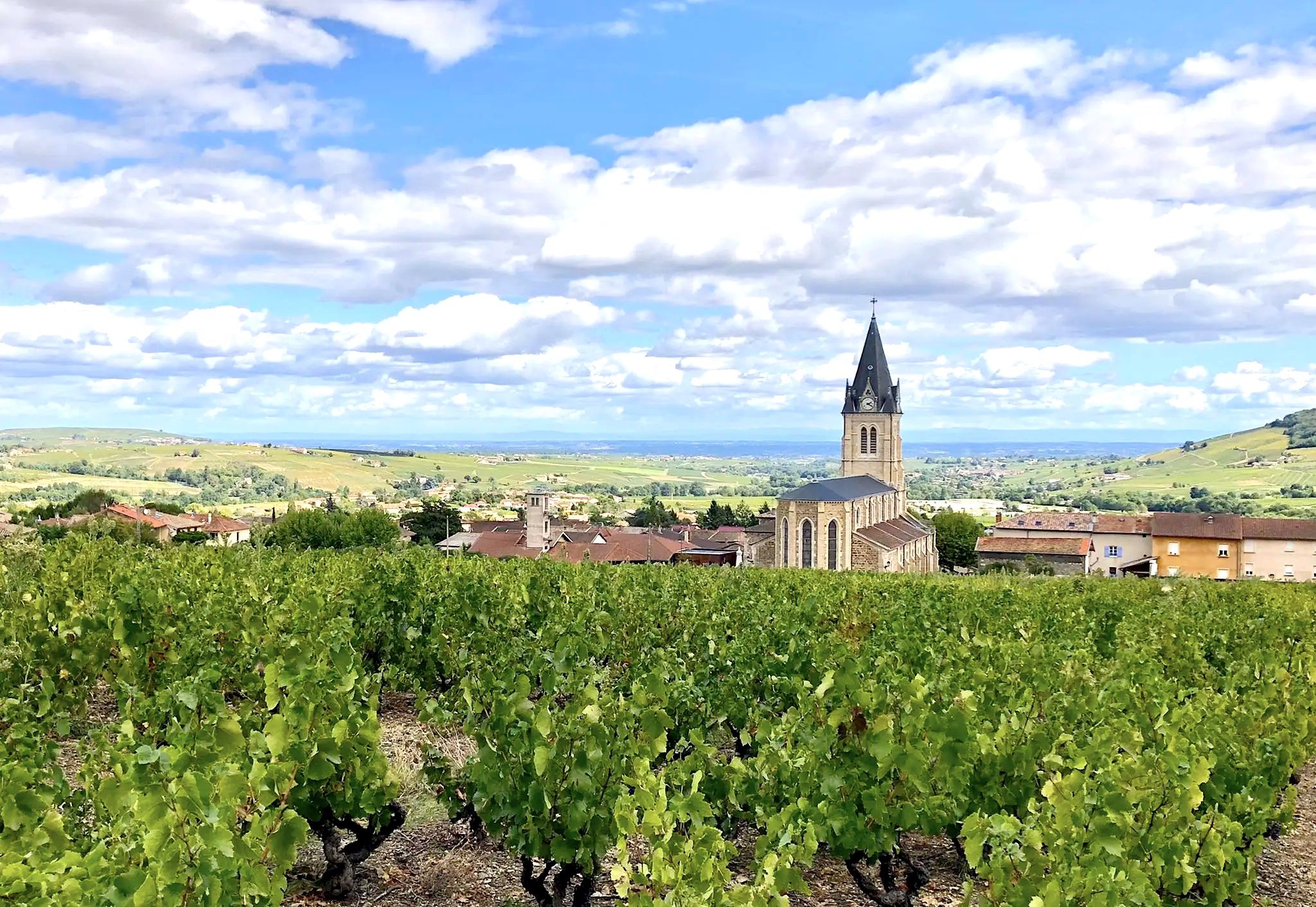
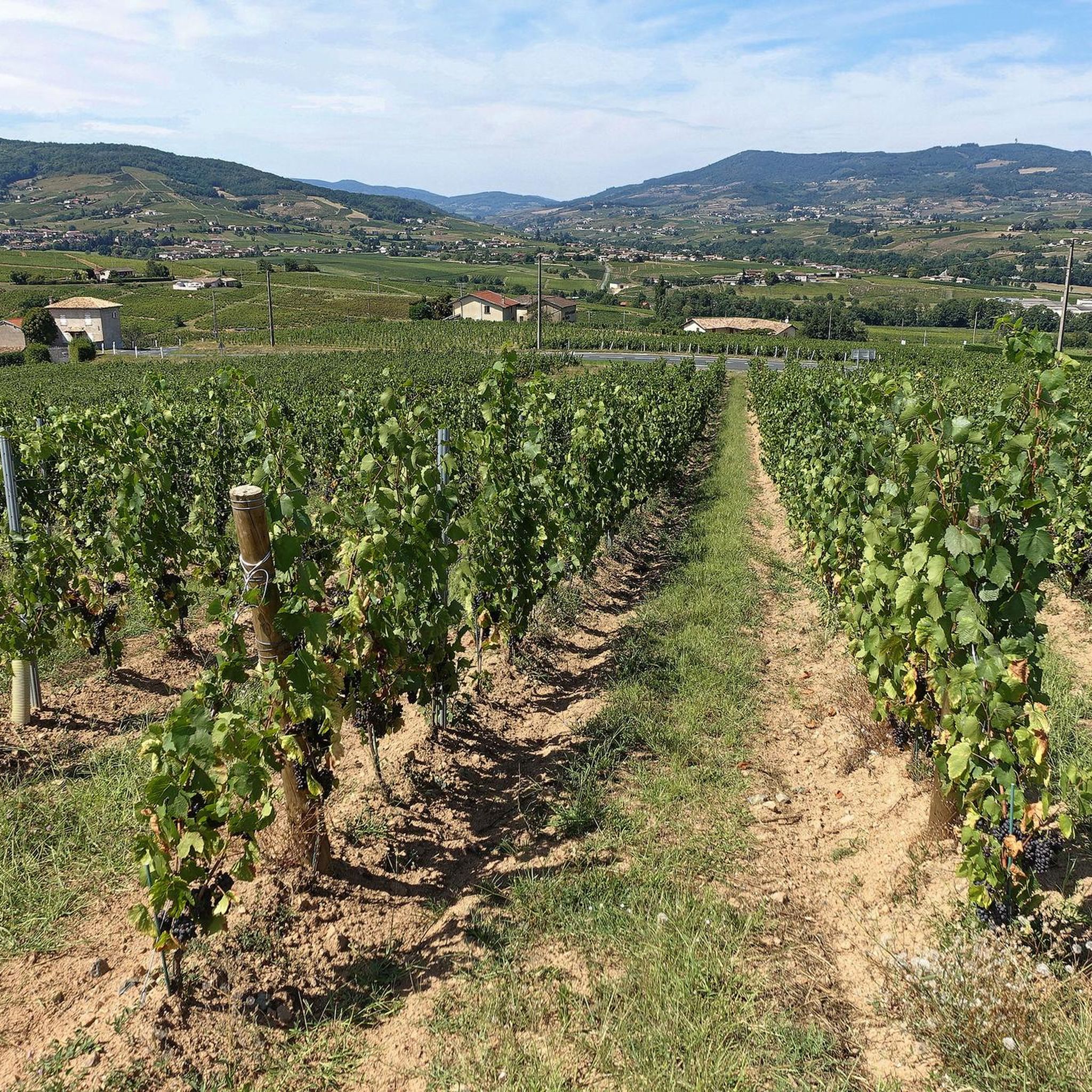
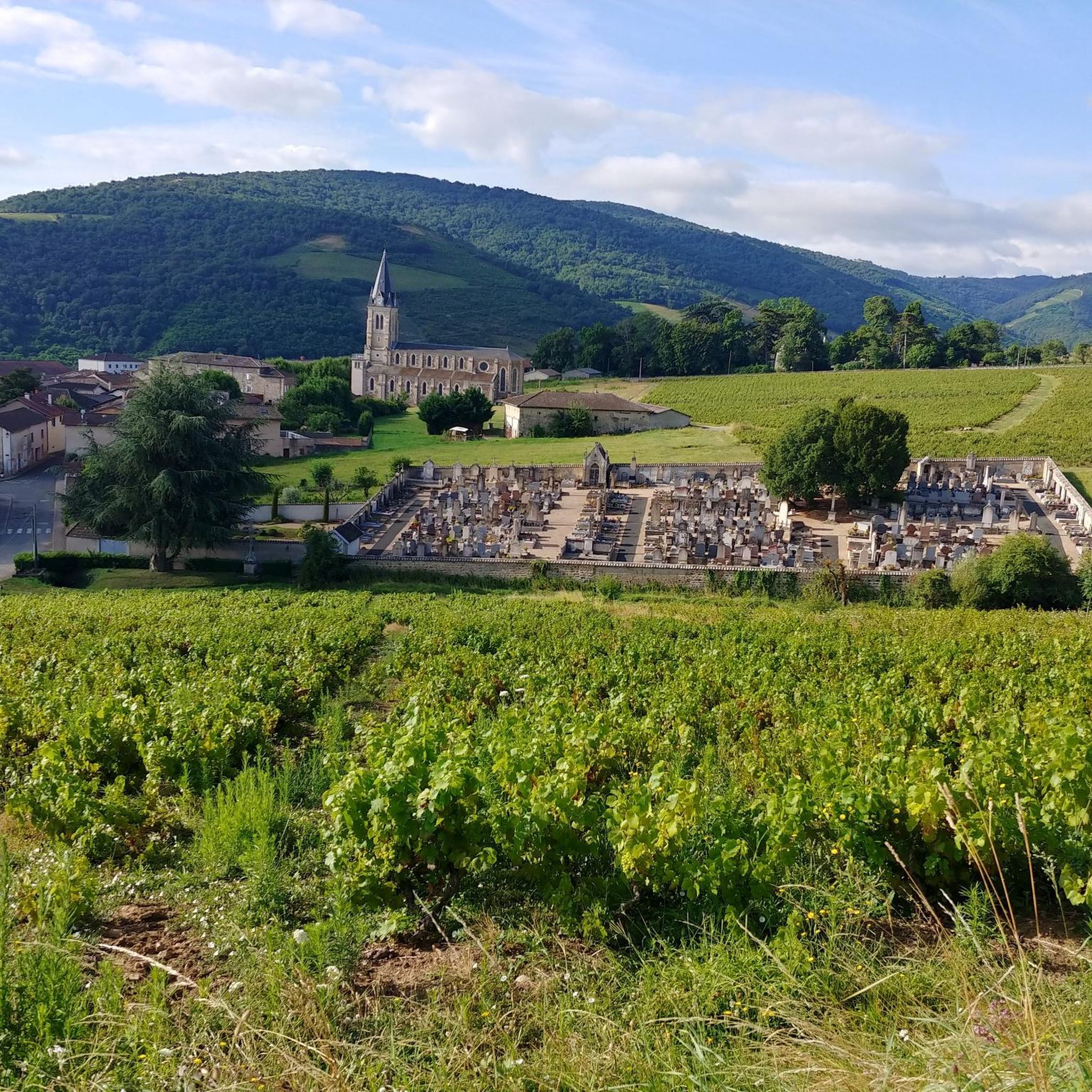
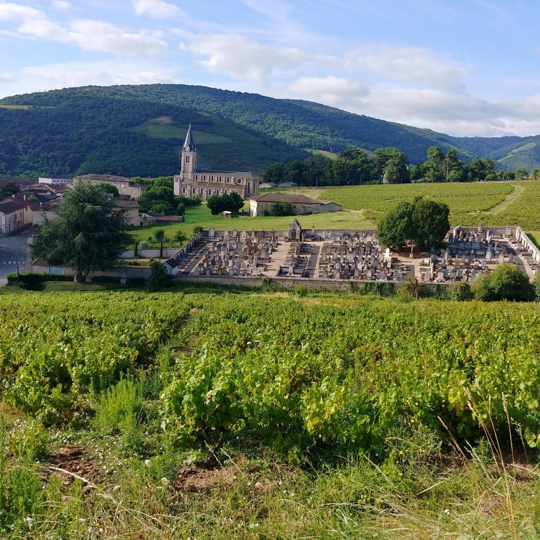
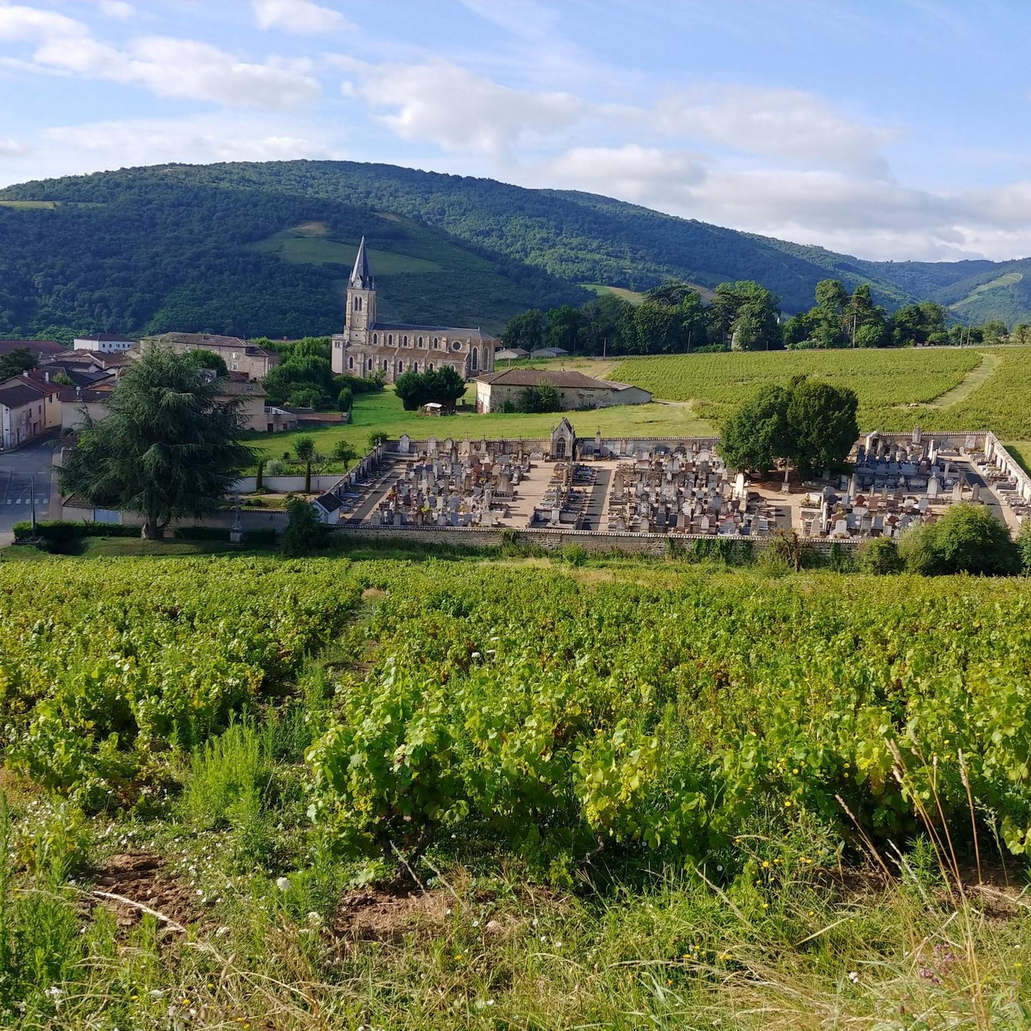
Jogging routes around Quincié-en-Beaujolais traverse a landscape characterized by rolling vineyards, diverse geological features, and extensive forests. The region features varied slopes, including the prominent Mont Brouilly, and natural heritage sites like the "Landes du Beaujolais" heathlands. This area offers a mix of vineyard paths and more challenging terrain, providing varied running experiences.
Best jogging routes around Quincié-En-Beaujolais
- The most popular jogging route is Ferme Sainte-Marie – Morillon Ridge loop from Quincié-en-Beaujolais, an 18.1 miles (29.1 km) trail that takes 3 hours 55 minutes to complete. This difficult route features significant elevation gain through vineyard landscapes.
- Another top favourite among local runners is Mont Brouilly viewpoint – Mont Brouilly loop from Quincié-en-Beaujolais, a difficult 9.3 miles (15.0 km) path. This route circles the iconic Mont Brouilly, offering views of the surrounding vineyards.
- Local runners also love the Château de La Palud – Morillon Ridge loop from Quincié-en-Beaujolais, an 8.2 miles (13.2 km) trail leading through vineyard hills, often completed in about 1 hour 43 minutes.
- Jogging around Quincié-En-Beaujolais is defined by hilly vineyards, forested areas, and the prominent Mont Brouilly. The network offers options for different ability levels, with a focus on challenging routes.
- The routes in Quincié-En-Beaujolais are highly rated by the komoot community with an average score of 4.5 stars from over 30 reviews. More than 1600 runners have used komoot to explore Quincié-En-Beaujolais's varied terrain.
Last updated: May 15, 2026
52
runners
14.6km
01:52
450m
450m
Hard run. Very good fitness required. Sure-footedness, sturdy shoes and alpine experience required.
5.0
(2)
50
runners
13.2km
01:25
90m
90m
Moderate run. Good fitness required. Mostly paved surfaces. Suitable for all skill levels.

Sign up for free
41
runners
33.1km
04:35
1,310m
1,310m
Hard run. Very good fitness required. Sure-footedness, sturdy shoes and alpine experience required.
27
runners
29.1km
03:55
1,100m
1,100m
Hard run. Very good fitness required. Mostly paved surfaces. Suitable for all skill levels.
5.0
(1)
10
runners
13.2km
01:42
440m
450m
Hard run. Very good fitness required. Mostly paved surfaces. Suitable for all skill levels.
Get access to more routes and recommendations from other explorers.
Sign up for free
Already have an account?
Our route recommendations are based on thousands of hikes, rides, and runs completed by other people on komoot.
Start today with a free account
Your next adventure awaits.
Login or Signup

Other adventures around Quincié-En-Beaujolais

Tips from the Community

At the top of the Devants wine-growing hill (476 m), the Notre-Dame du Perréon cave has been watching over it since 1894. Processions, pilgrimages and an orientation table (2006) make it a place for strolls and meditation, with views as far as the Alps.
0
0

Chapel built after a mildew epidemic that ravaged crops. It was built to protect the site. Explanatory panels on site
0
0

very beautiful view of Beaujolais
0
0


Surrounded by green hills and fields, this farm offers a peaceful setting for a nature walk. From the farm, the view of the surrounding vineyards and valleys is simply stunning.
0
0

Between the Trou du Loup and the Sainte-Marie farm, this small ridge at an altitude of 600 metres offers a beautiful setting and a playful area for having fun on the heights of Beaujolais.
0
0

Built in the late 1850s to protect the vineyard from hail, frost and powdery mildew. A sort of Santa Maria della Salute of very local dimension and scope.
0
0
Frequently Asked Questions
How many running routes are available in Quincié-En-Beaujolais?
There are over 10 dedicated running routes around Quincié-En-Beaujolais, offering a variety of distances and challenges through the region's unique landscape.
What kind of terrain can I expect on the running trails around Quincié-En-Beaujolais?
The terrain is primarily characterized by hilly vineyards, with many routes featuring significant inclines due to the region's 'heroic viticulture' designation. You'll also find forested areas and diverse geological formations, providing varied running surfaces and scenic changes. The iconic Mont Brouilly, for instance, is formed from ancient, erosion-resistant 'blue stone'.
Are there challenging running routes for experienced runners in Quincié-En-Beaujolais?
Yes, Quincié-En-Beaujolais is known for its challenging routes. For example, the Ferme Sainte-Marie – Morillon Ridge loop from Quincié-en-Beaujolais is a difficult 12.7-mile (20.4 km) trail with significant elevation gain. Another demanding option is the Our Lady of Perréon – View of the Monts du Forez loop from Quincié-en-Beaujolais, spanning 32.4 km with over 1300m of elevation gain.
Can I find any easier or moderate running options in the area?
While many routes are challenging, the region does offer some moderate options. The marked circuits designed by the Beaujolais Aventure Trail association include a green circuit of 11 km with a 450 m elevation gain, which might be a good starting point. However, most komoot-listed routes tend to be on the more difficult side due to the hilly terrain.
What scenic viewpoints or landmarks can I see while running?
Many running routes offer breathtaking views. You can enjoy panoramic vistas from Mont Brouilly, where the geoscope explains the region's history, or from the Chapelle Notre-Dame-des-Raisins overlooking the Saône plain. The Cross of Forces also provides a beautiful panorama towards the Rhône valley. The 'Bois de fée' is another spot for magnificent views over the Beaujolais and the Alps.
Are there any historical sites along the running routes?
Yes, you can often pass by historical attractions. Routes may lead you near medieval castles such as Château de La Palud or Château de Varennes. The Baroque-style church in the village is also a notable historical landmark.
Are the running trails in Quincié-En-Beaujolais suitable for families?
The hilly and often challenging nature of the terrain, particularly the significant elevation changes, means that many routes might be demanding for younger children or families seeking very easy, flat paths. However, shorter, less steep sections within the 'Landes du Beaujolais' natural heritage site could offer more family-friendly exploration opportunities.
Are dogs allowed on the running trails?
Generally, dogs are welcome on trails in the Beaujolais region, especially in natural areas like the 'Landes du Beaujolais' and forested sections. However, it's always recommended to keep them on a leash, especially when passing through vineyards or near livestock, and to respect local regulations.
Where can I find parking for the running routes?
Many of the dedicated trail running circuits in Quincié-En-Beaujolais typically start from the Georges Lavarenne multipurpose hall, where parking facilities are usually available. For other routes, parking can often be found in village centers or designated trailheads, though it's advisable to check specific route details for precise parking information.
Are there any circular running routes in Quincié-En-Beaujolais?
Yes, many of the running options in the area are circular. For instance, the Mont Brouilly viewpoint – Mont Brouilly loop from Quincié-en-Beaujolais offers a 15 km circular path around the iconic Mont Brouilly. The marked circuits for trail running are also designed as loops.
What is the best time of year to go running in Quincié-En-Beaujolais?
Spring and autumn are generally ideal for running in Quincié-En-Beaujolais. The weather is milder, and the vineyards offer beautiful scenery, either with fresh green growth or vibrant autumn colors. Summers can be warm, especially on exposed vineyard slopes, while winters might bring colder temperatures and potentially muddy or icy conditions on trails.
What do other runners say about the trails in Quincié-En-Beaujolais?
The running routes in Quincié-En-Beaujolais are highly rated by the komoot community, with an average score of 4.5 stars from over 30 reviews. Runners often praise the challenging nature of the trails, the stunning vineyard landscapes, and the panoramic views from elevated points like Mont Brouilly.
Are there options for long-distance running or multi-day trails?
Yes, Quincié-En-Beaujolais is part of longer trekking routes that can be adapted for long-distance running. These include 'Les tracés de Victor' (around 100 km) and 'Estelle' (around 80 km), which guide runners through the territory over several days, offering an immersive experience in the Beaujolais landscape.
Most popular routes around Quincié-En-Beaujolais
Most popular attractions around Quincié-En-Beaujolais

Get inspired with the komoot mobile app


Explore more
Browse the best Running Trails & Routes in other regions.
