The best walks and hikes around Lochweiler
4.5
(2388)
12,695
hikers
371
hikes
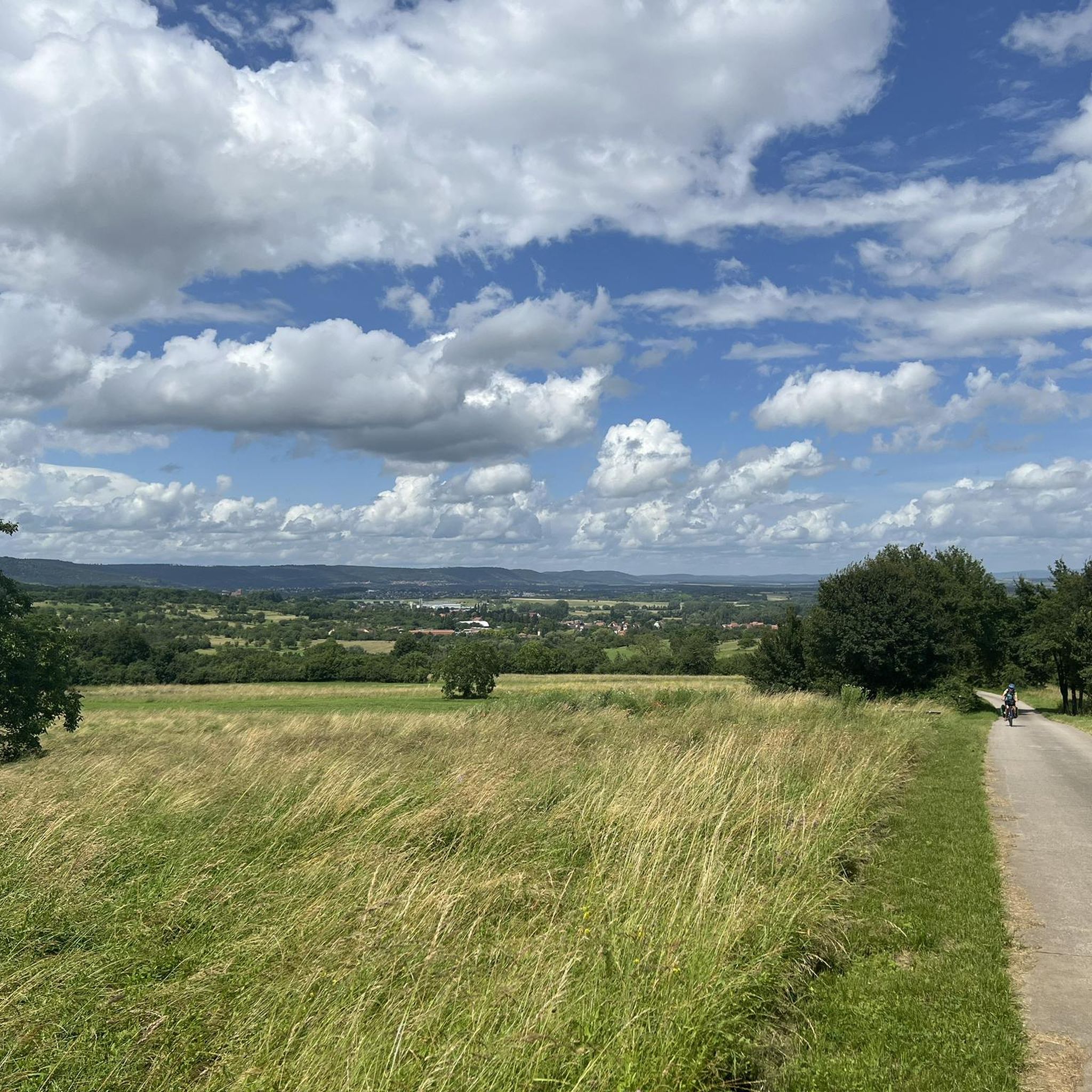
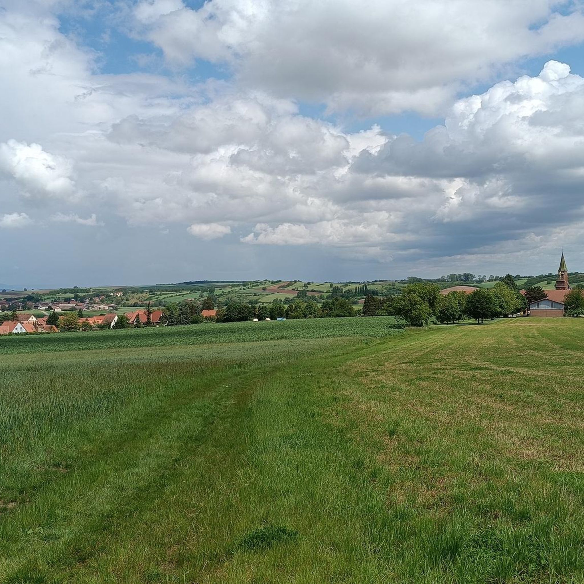
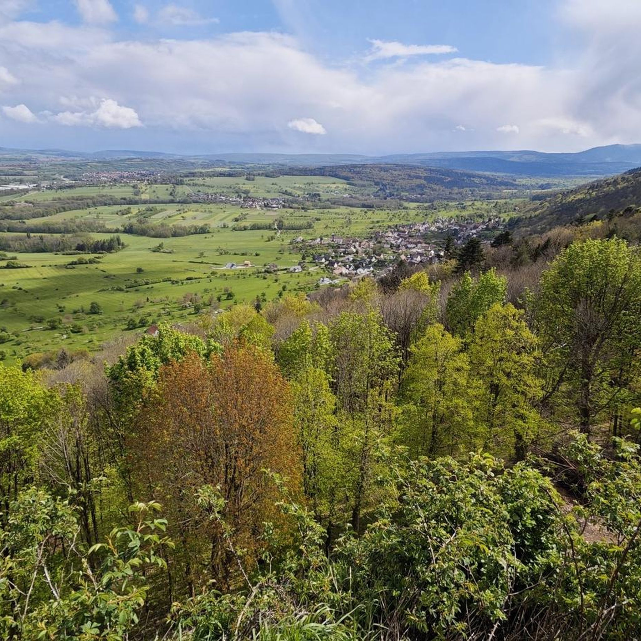
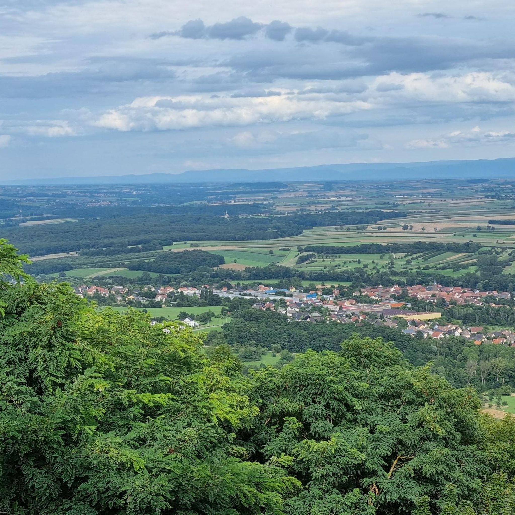
Hiking around Lochweiler provides access to the varied landscapes of the Bas-Rhin region in France, nestled within the Vosges Mountains. The terrain features extensive forests, distinctive rocky outcrops, and hills formed by pink Vosges sandstone. Elevated points throughout the area offer panoramic views of the surrounding mountain ranges and plains.
Best hiking trails around Lochweiler
- The most popular hiking route is Marmoutier Abbey Church – View of Saverne loop from Marmoutier, a 7.4 miles (11.9 km) moderate trail that…
Last updated: November 1, 2026
4.3
(3)
42
hikers
11.9km
03:19
240m
240m
Moderate hike. Good fitness required. Easily walkable paths.
4.0
(2)
14
hikers
10.1km
02:51
220m
220m
Moderate hike. Good fitness required. Easily walkable paths.

4.8
(6)
10
hikers
18.7km
05:27
500m
500m
Hard hike. Very good fitness required. Easily walkable paths.
4.0
(1)
13
hikers
6.96km
02:01
180m
180m
Moderate hike. Good fitness required. Easily walkable paths.
4.5
(2)
10
hikers
5.04km
01:27
130m
130m
Easy hike. Easily walkable paths.
Get access to more routes and recommendations from other explorers.
Already have an account?
Our route recommendations are based on thousands of hikes, rides, and runs completed by other people on komoot.
Start today with a free account
Your next adventure awaits.

Tips from the Community

Old Telegraph, a visit is possible during the summer months
0
0

This small castle is nowhere near as impressive as its two neighboring castles. But the climb is still worth it.
0
0
Fantastic view. Anyone attempting this should be free from vertigo. The descent is very steep and deep.
1
0
The view from the tower is excellent. The climb is definitely worth it. Be careful when climbing the stairs. At times (at window level), some steps are longer than others.
1
0

This elongated rock castle above the Zorn Valley, southwest of Saverne, has been state property for about 150 years after a turbulent history. The courtyard features diverse buildings from different eras. Magnificent views over the Rhine Valley and the northern Vosges Mountains.
2
1

A very stately church with a Romanesque portal and a Gothic nave. It testifies to the once great importance of Marmoutier, a town that is now a rather tranquil place.
0
0


You can park here for free to visit the church and the castle gardens.
0
0
Frequently Asked Questions
How many hiking trails are available around Lochwiller?
There are over 380 hiking routes around Lochwiller. These include 145 easy trails, 190 moderate paths, and 45 more challenging routes, ensuring options for every ability level.
What kind of terrain can I expect on hikes near Lochwiller?
Hiking around Lochwiller offers diverse terrain, primarily characterized by deep forests, rolling hills, and distinctive rocky outcrops formed by pink Vosges sandstone. Many routes provide panoramic views of the Vosges Mountains, the Rhine Valley, and the Alsatian plain.
Are there any family-friendly hiking options in the area?
Yes, Lochwiller offers many easy trails suitable for families. For example, the Orchards loop from Marmoutier is an easy 5 km (3.1 miles) hike that takes about 1 hour 27 minutes to complete, winding through pleasant landscapes.
What are some notable historical sites or landmarks to see while hiking?
The region is rich in history. You can explore several castles built on pink sandstone crags, such as Haut-Barr Castle, often called the 'eye of Alsace,' and the ruins of Château du Grand Géroldseck and Petit Geroldseck Castle. These sites are often integrated into hiking routes, offering both natural beauty and historical interest.
Are there circular hiking routes available around Lochwiller?
Yes, many routes around Lochwiller are circular. For instance, the Fountain – Marmoutier Abbey Church loop from Marmoutier is a moderate 10.1 km (6.3 miles) circular path that winds through wooded areas and past local landmarks.
What do other hikers say about the trails in Lochwiller?
The routes in Lochwiller are highly rated by the komoot community, with an average score of 4.5 stars from over 1,900 reviews. Hikers often praise the well-maintained paths, the serene forest environments, and the rewarding panoramic views from elevated points.
Are there any specific natural features or viewpoints worth seeking out?
Absolutely. The region is known for its unique pink Vosges sandstone formations, which create impressive cliffs and rock faces. Elevated points throughout the area consistently offer breathtaking vistas of the Vosges mountain range, the Rhine Valley, and sometimes even the Black Forest and Swiss Alps on clear days.
Is public transport an option for reaching trailheads near Lochwiller?
While specific public transport options to individual trailheads can vary, the region is generally accessible. For broader information on exploring the area, you might find details on regional transport links via the official tourism sites, such as Visit Strasbourg, which covers the Northern Vosges Regional Nature Park.
What is the best time of year to go hiking in Lochwiller?
The region is suitable for hiking through much of the year. Spring brings lush greenery and blooming flora, while autumn offers vibrant fall colors in the forests. Summer provides ample shade on wooded trails, and clear days can offer exceptional long-distance views. Winter hiking is also possible, though conditions may vary.
Are there longer, more challenging hikes available for experienced hikers?
Yes, for those seeking a greater challenge, there are 45 difficult routes around Lochwiller. These trails often feature more significant elevation changes and cover longer distances, providing a more strenuous experience while still offering the region's scenic beauty.
Can I find parking easily at the trailheads?
Many popular trailheads and attractions in the Lochwiller area, such as those near Marmoutier or the castles, typically offer designated parking facilities. For example, the Public parking lot – Wall loop from Marmoutier explicitly starts from a parking area, indicating availability.
What is the average duration for a hike in this region?
Hike durations vary significantly depending on the route's length and difficulty. For example, a moderate trail like the Marmoutier Abbey Church – View of Saverne loop from Marmoutier, which is 11.9 km (7.4 miles), typically takes around 3 hours and 19 minutes to complete. Shorter, easy walks can be done in under 2 hours.
Most popular routes around Lochweiler
Most popular attractions around Lochweiler

Get inspired with the komoot mobile app


Explore more
Browse the best Hikes in other regions.
