The best walks and hikes around Drachenbronn-Birlenbach
4.4
(744)
3,665
hikers
21
hikes
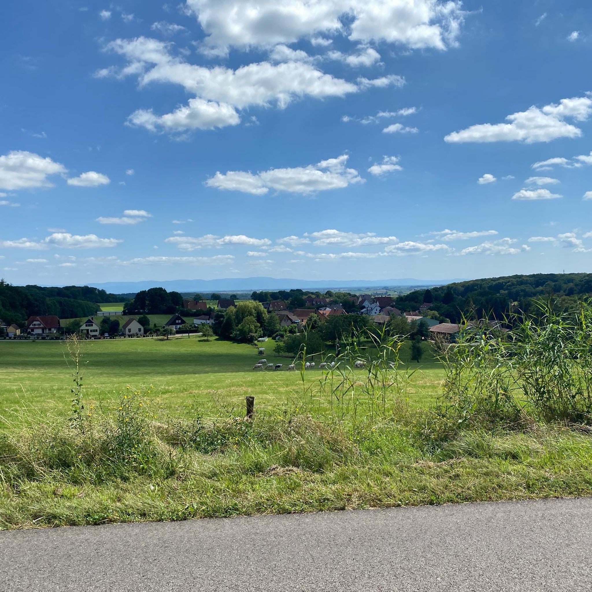
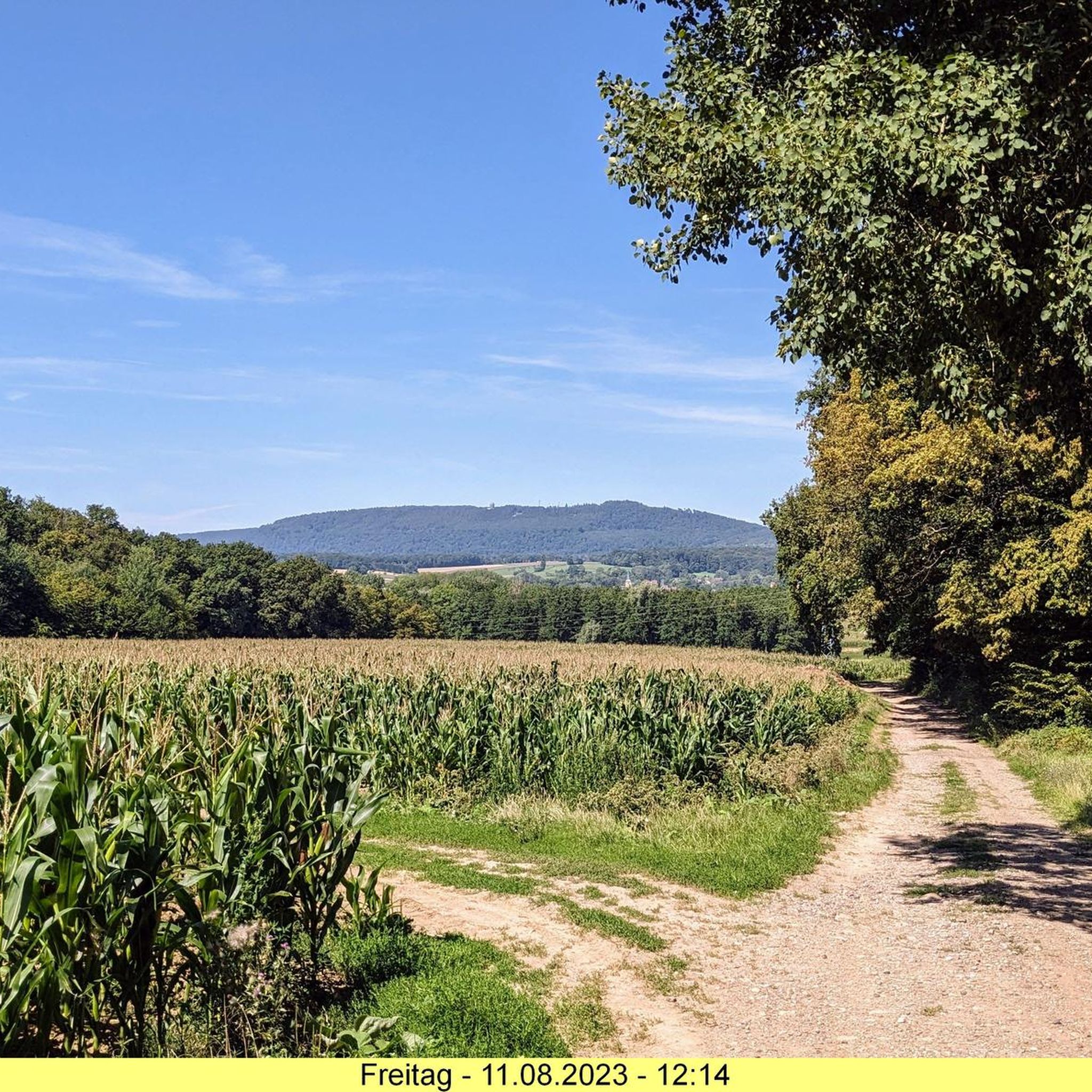
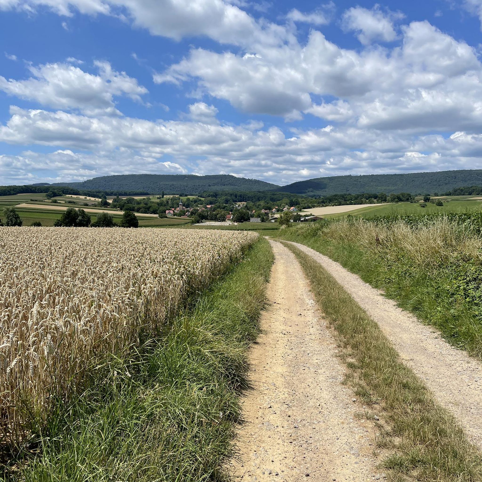
Hiking around Drachenbronn-Birlenbach offers diverse landscapes, situated on the foothills of the Vosges mountains within the "Alsace Verte" region. The area features a preserved natural environment with a mix of forests, meadows, and orchards. Hikers can explore oak forests and varied topography including charming hills and valleys, providing panoramic views of the Northern Vosges and the Rhine plain from elevated points.
Best hiking trails around Drachenbronn-Birlenbach
- The most popular hiking route is Superb view in the distance – Pfaffenschlick Pass…
Last updated: November 8, 2026
4.4
(41)
124
hikers
Moderate hike. Good fitness required. Easily walkable paths.
4.3
(23)
91
hikers
6.24km
01:42
90m
90m
Easy hike. Easily walkable paths.

4.6
(16)
47
hikers
13.0km
03:47
340m
340m
Moderate hike. Good fitness required. Easily walkable paths.
4.6
(74)
561
hikers
Moderate hike. Good fitness required. Easily walkable paths.
4.9
(7)
45
hikers
Moderate hike. Good fitness required. Easily walkable paths.
Get access to more routes and recommendations from other explorers.
Already have an account?
Our route recommendations are based on thousands of hikes, rides, and runs completed by other people on komoot.
Start today with a free account
Your next adventure awaits.
Tips from the Community

The path is lined with some boundary stones from the 19th century. This one is very well preserved.
0
0
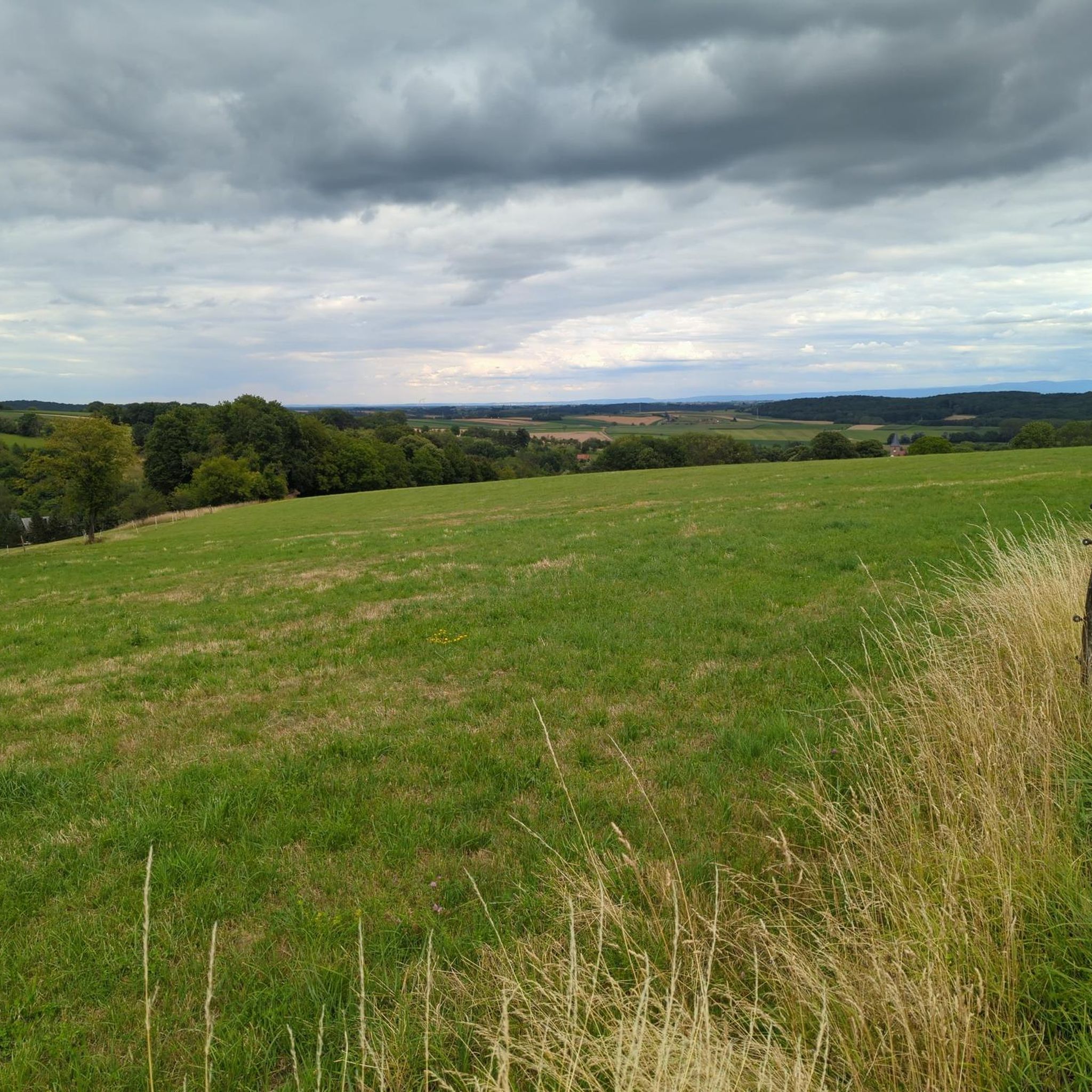
The fog was still swirling here, so unfortunately we didn't have a good view. It could only be guessed at.
0
0

Charging facilities for e-mobility are available in the parking lot where the shuttle bus starts.
0
0
Treetop path with observation tower. From the tower, you can take the slide back down (highly recommended, but extra charge!!) 👍
0
0

The most luxurious "time out" in Alsace 🏰🚫🍷 Chic architecture and great views. The catch? The drinks menu here is extremely one-sided and definitely alcohol-free. A place of recreation for anyone who has taken a wrong turn in life when it comes to "fluid intake". Looking costs nothing, moving in requires a colorful past!
0
0
Schloss Marienbronn: Where water learns to taste again 💧🏰 A wonderful building, but don't be fooled! Anyone who moves in here for a cure has taken the motto "Drinking a lot is important" a bit too seriously – unfortunately, with the wrong drinks. Here, you are retrained from "king of the promille" back to "water fan". A great sight for hikers, as long as you just walk by!
0
0

Frequently Asked Questions
How many hiking trails are there in Drachenbronn-Birlenbach?
There are nearly 20 hiking trails around Drachenbronn-Birlenbach, offering a range of experiences from easy walks to more challenging routes. The komoot community has explored these paths over 2000 times.
What kind of terrain can I expect on hikes around Drachenbronn-Birlenbach?
The region offers diverse landscapes, from the foothills of the Vosges mountains to the 'Alsace Verte'. You'll find a mix of ancient oak forests, lush meadows, and orchards. The topography includes charming hills and valleys, providing varied hiking experiences and often leading to panoramic views of the Northern Vosges and the Rhine plain.
Are there any easy hiking trails suitable for beginners or families?
Yes, Drachenbronn-Birlenbach has 5 easy hiking trails. A great option for families is The 7 Wells loop from Drachenbronn, an easy 6.2 km path that follows a stream through forest and open terrain, taking about 2 hours to complete.
Are there any circular hiking routes in the area?
Many of the trails around Drachenbronn-Birlenbach are circular. For example, the Superb view in the distance – Pfaffenschlick Pass loop from Drachenbronn-Birlenbach is a moderate 9.1 km loop offering expansive views. Another popular circular option is the Adventure Forest – Alsace Treetop Walk loop from Drachenbronn-Birlenbach, which is 7.8 km long.
What interesting landmarks or attractions can I see along the hiking trails?
The trails often lead to fascinating points of interest. You can explore remnants of the Maginot Line, including well-preserved anti-tank ditches and bunker facilities. For natural beauty, some routes pass by the Étang de la Walk or offer views of the Hohenbourg Castle. The Adventure Forest – Alsace Treetop Walk loop from Drachenbronn-Birlenbach will take you past the famous Chemin des Cimes d'Alsace, a treetop walk with panoramic views.
Are there any viewpoints or panoramic vistas on the hikes?
Yes, many trails offer magnificent views. Elevated points often provide panoramic vistas of the Northern Vosges, the Rhine plain, and even the Black Forest on clear days. The Superb view in the distance – Pfaffenschlick Pass loop from Drachenbronn-Birlenbach is specifically known for its expansive views from the Pfaffenschlick Pass. The Soultzerkopf peak also offers superb views, and the Club Vosgien operates a hut there on Sundays.
Are the hiking trails around Drachenbronn-Birlenbach dog-friendly?
Generally, the natural trails through forests and meadows are suitable for dogs. However, it's always recommended to keep dogs on a leash, especially in nature reserves or near livestock. If you plan to visit attractions like the Chemin des Cimes d'Alsace, check their specific pet policies beforehand.
What is the best time of year to go hiking in Drachenbronn-Birlenbach?
The region is beautiful throughout the year. Spring brings blooming orchards and fresh greenery, while autumn offers stunning fall foliage in the oak forests. Summer is ideal for longer hikes, and even winter can be magical with snow-covered landscapes, though some paths might be more challenging. Always check local weather conditions before heading out.
Are there places to eat or rest along the hiking routes?
Yes, some routes pass by places where you can rest or grab a bite. For instance, the Ferme-Auberge Sept Fontaines is located along certain trails. The Club Vosgien also operates a hut on Soultzerkopf on Sundays, providing a spot for hikers to stop.
What do other hikers enjoy most about hiking in Drachenbronn-Birlenbach?
The area is highly rated by the komoot community, with an average score of 4.5 stars from over 600 reviews. Hikers often praise the diverse landscapes, the well-maintained trails through ancient oak forests, and the rewarding panoramic views from elevated points. The blend of natural beauty and historical sites, like the Maginot Line remnants, is also frequently highlighted.
Is there parking available near the trailheads?
While specific parking information for every trailhead isn't available here, Drachenbronn-Birlenbach is generally accessible for hikers arriving by car. It's advisable to check local signage or use navigation apps for designated parking areas near popular starting points for trails like those leading to the Pfaffenschlick Pass or the Chemin des Cimes d'Alsace.
Most popular routes around Drachenbronn-Birlenbach
Most popular attractions around Drachenbronn-Birlenbach

Get inspired with the komoot mobile app


Explore more
Browse the best Hikes in other regions.
