The best mountain hikes around Weißenburg
5.0
(8)
21
hikers
3
hikes
Mountaineering routes around Weißenburg traverse a landscape characterized by forested hills, historic castle ruins, and distinctive rock formations. The region offers varied terrain suitable for exploring the natural and historical features of the area. Elevation changes are moderate, providing engaging challenges without extreme altitude. The trails often lead through dense woodlands and open viewpoints, offering diverse perspectives of the surroundings.
Best mountaineering routes around Weißenburg
- The most popular mountaineering route is View from Wegelnburg Castle – Hohenbourg Castle loop from…
Last updated: September 25, 2026
5.0
(1)
5
hikers
9.77km
03:13
350m
350m
Moderate mountaineering route. Good fitness required. Mostly accessible paths. Sure-footedness required.
5.0
(3)
7
hikers
Moderate mountaineering route. Good fitness required. Mostly accessible paths. Sure-footedness required.

5.0
(2)
6
hikers
Moderate mountaineering route. Good fitness required. Easily-accessible paths. Suitable for all skill levels.
5.0
(2)
3
hikers
7.72km
02:37
350m
350m
Moderate mountaineering route. Good fitness required. Mostly accessible paths. Sure-footedness required.
Our route recommendations are based on thousands of hikes, rides, and runs completed by other people on komoot.
Start today with a free account
Your next adventure awaits.
Popular around Weißenburg
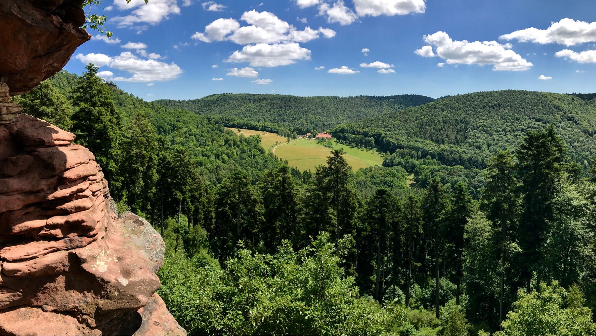
Hike the GR 53 – Explore castles along the Franco-German border
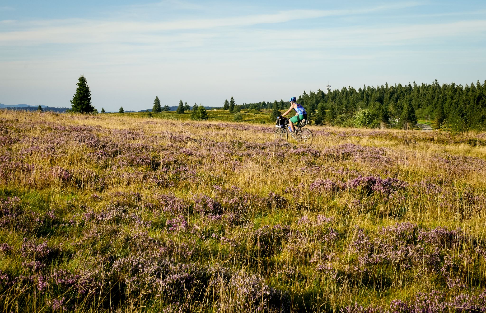
Traversée du Massif Vosgien — Alsace bikepacking
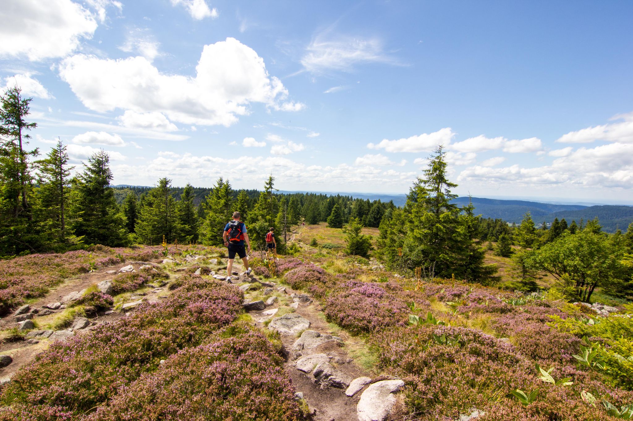
Hiking and relaxation – wellbeing on the Traversée des Vosges
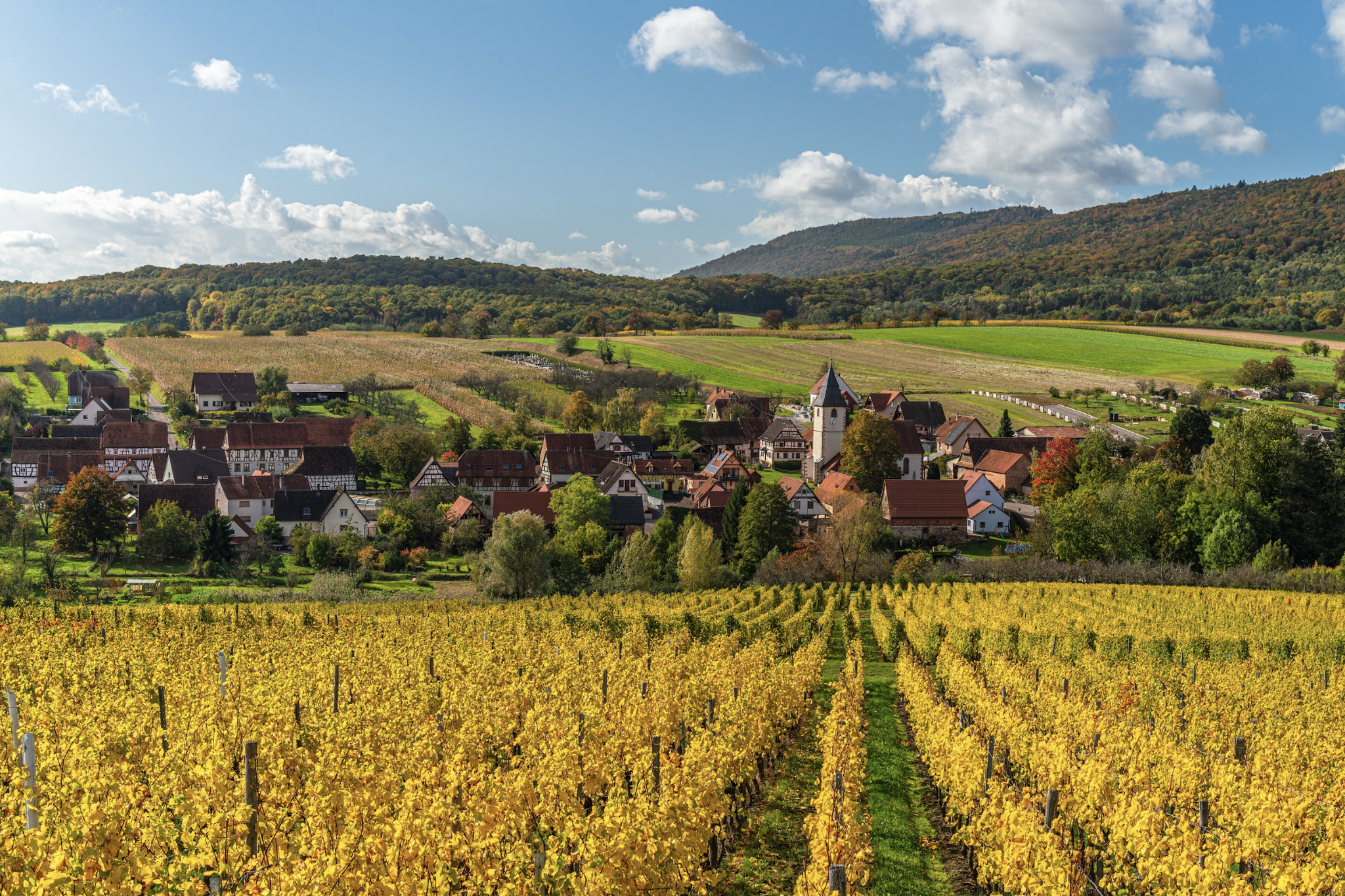
Alsace Verte on foot – hikes between history and vineyards

Cycling in Southern Palatinate – Karlsruhe to Zweibrücken

From the Vosges to the Jura mountains – Hexatrek, le Grand Est
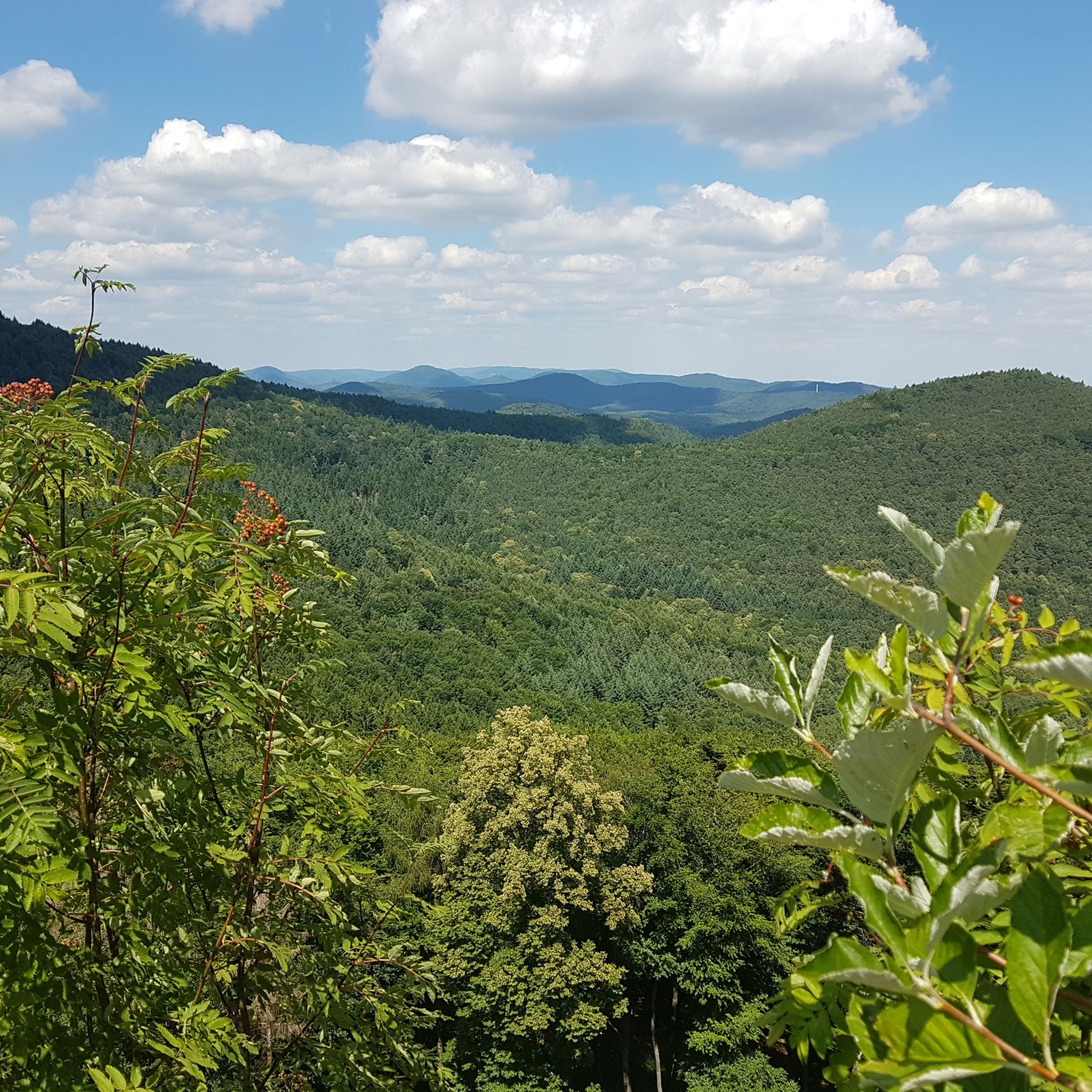
Hiking around Weißenburg
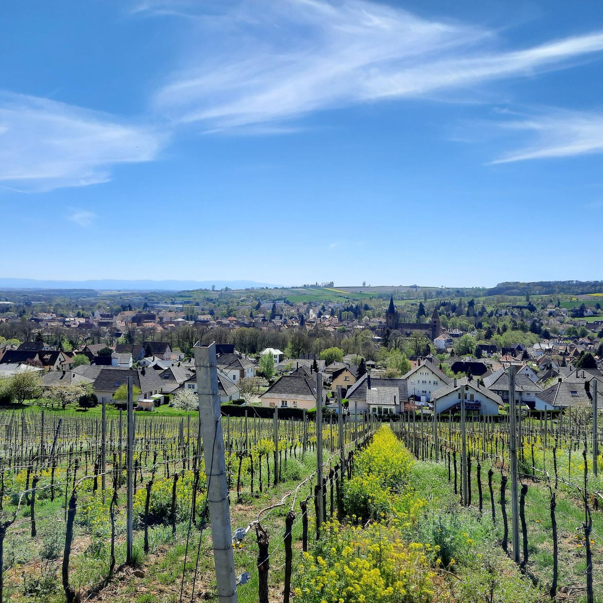
Cycling around Weißenburg
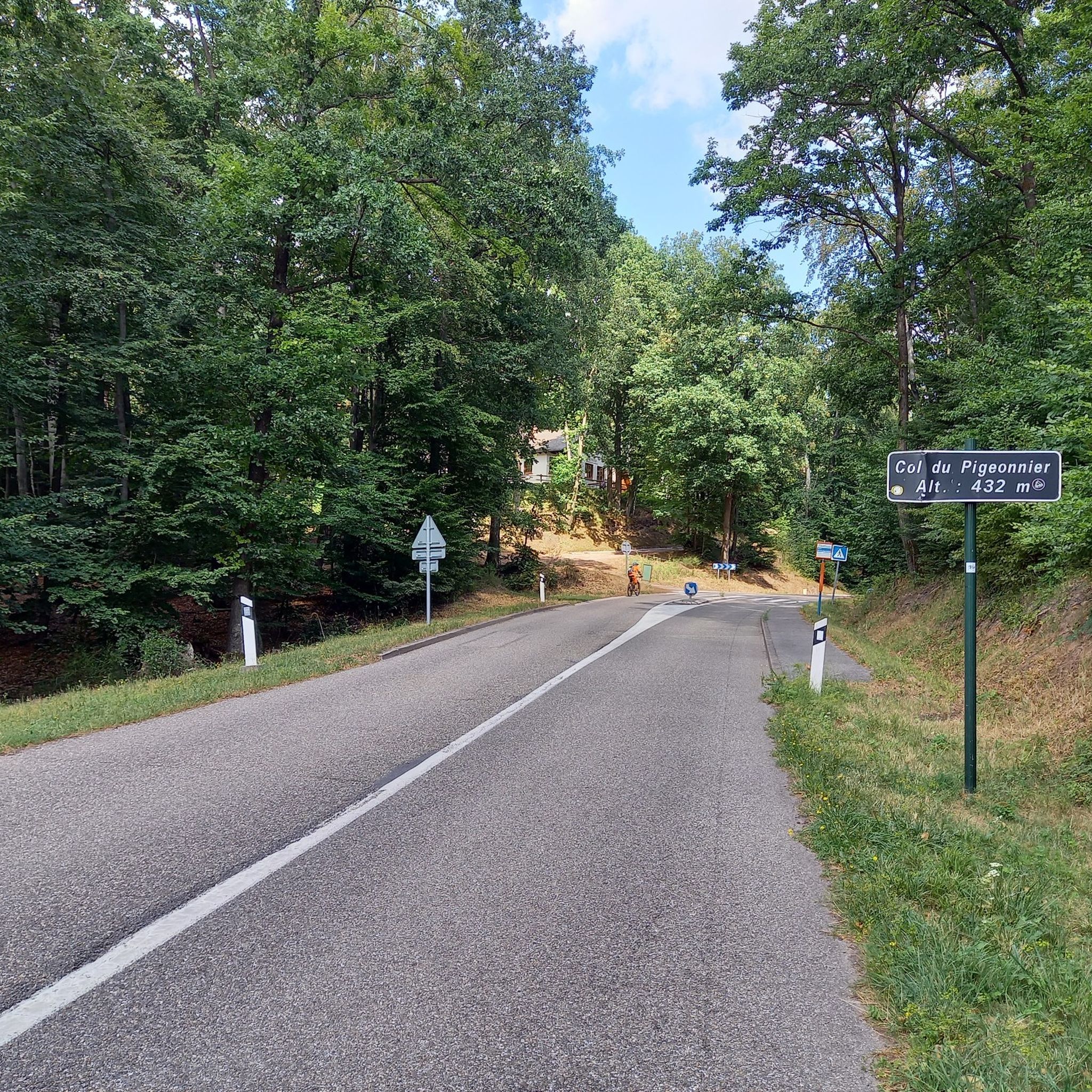
Road Cycling Routes around Weißenburg
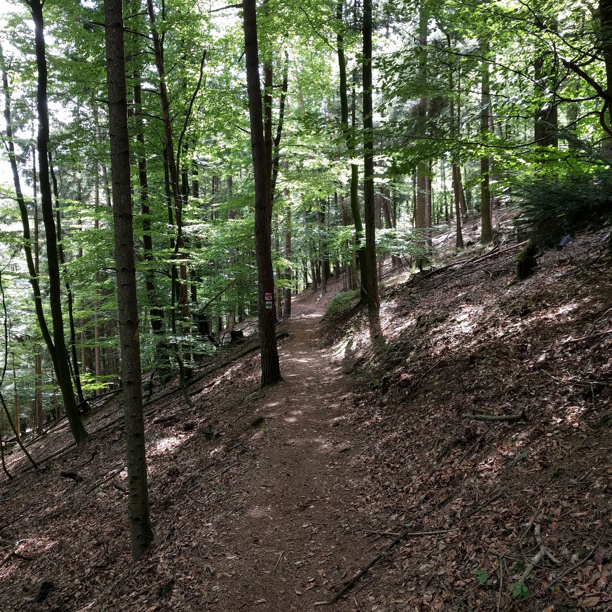
MTB Trails around Weißenburg
Other adventures around Weißenburg


Tips from the Community

Good starting point for the tour. Shady and free (as of 2026) parking spaces.
0
0

The term biosphere reserve originated in 1977 following UNESCO's investigations into the topic of Man and the Biosphere. These are protected areas of special ecological and cultural diversity.
7
0

Since parking in Nothweiler (exception: visitor parking lot of the visitor mine) is prohibited almost everywhere in the village, this visitor parking lot is very well suited as a starting point (for hikes to Wegelnburg, to Fleckenstein Castle ruins or for the German-French premium hiking trail "Grenzgängerweg").
1
0

Beautiful resting place right next to a sandstone cliff, and right next to it is the shaving area for elves (with power socket!).
5
0
This magnificent rock formation is reached via a path marked "difficult" as part of the Bärensteig trail. The trail is easily manageable, though "difficult" probably only because the path is somewhat steep in places.
7
0

A bit bumpy from the parking lot, but easily accessible - at least as far as the clearing with the impressive east wall.
3
0
A beautiful rock that can be walked around on both sides – at the top, a path also leads through a small gorge to the other side. For climbers, it offers some of the truly amazing lines in the Palatinate region, and is also of interest from a climbing history perspective due to the controversy surrounding the superlative and the subsequent use of motor oil for environmental protection.
4
0
The Wegelnburg Castle is located at an altitude of 572 meters, stretching along a mountain ridge. It is the highest castle complex in the Palatinate region, offering panoramic views over the Palatinate Forest/Northern Vosges Biosphere Reserve. This imperial fortress was built in the 12th/13th centuries. Remains of gates, buildings, large rock chambers, and surrounding walls are worth seeing.
4
0
Frequently Asked Questions
What kind of terrain can I expect on mountaineering routes around Weißenburg?
The mountaineering routes around Weißenburg primarily traverse forested hills, featuring historic castle ruins and distinctive rock formations. The elevation changes are moderate, offering engaging challenges without extreme altitude. You'll often find yourself walking through dense woodlands and reaching open viewpoints.
Are there any easy mountaineering routes suitable for beginners in Weißenburg?
The routes listed for mountaineering around Weißenburg are generally classified as moderate. While there are no routes specifically marked as 'easy' in this selection, the moderate trails offer varied terrain that can be enjoyable for those with some hiking experience. For example, the Hohenbourg Castle – View from Wegelnburg Castle loop from Château de Fleckenstein is shorter at 6.2 km and takes under 2 hours, making it a good option to start with.
What are some of the shorter mountaineering routes available?
For a shorter mountaineering experience, consider the Hohenbourg Castle – View from Wegelnburg Castle loop from Château de Fleckenstein, which is approximately 6.2 km long and typically takes about 1 hour 53 minutes. Another option is the Hohenbourg Castle – View from Wegelnburg Castle loop from Nothweiler, which covers 7.7 km in about 2 hours 36 minutes.
Are there any longer or more challenging mountaineering routes?
While all routes are rated moderate, for a longer and more extensive experience, the Bundenthal Hunting Hut – Geierstein rock formation loop from Bundenthal-Rumbach is 15.2 km long and typically takes around 4 hours 31 minutes to complete. This route leads through dense woodlands and past notable rock formations.
Can I find circular mountaineering routes in the Weißenburg area?
Yes, all the featured mountaineering routes around Weißenburg are designed as circular loops. This allows you to start and end your journey at the same point. Examples include the View from Wegelnburg Castle – Hohenbourg Castle loop from Nothweiler and the Jüngstbergkanzel Viewpoint – Fladensteine Rock Formations loop from Bundenthal-Rumbach.
What interesting landmarks or attractions can I see along the mountaineering routes?
The routes often pass by historic castle ruins like Wegelnburg Castle and Hohenbourg Castle. You can also discover unique rock formations such as Geierstein. For specific points of interest, look out for viewpoints like Jüngstbergkanzel Viewpoint or the Stäffelsberg Tower, which offer panoramic views.
Are there any huts or places to rest along the trails?
Yes, the region has several huts that can serve as resting points or places to grab refreshments. Notable options include the Bundenthal Hunting Hut and the Drachenfelshütte (PWV Busenberg). These are often located conveniently along or near the trails.
What is the best time of year for mountaineering in Weißenburg?
The region's moderate climate and forested terrain make it suitable for mountaineering from spring through autumn. Spring offers lush greenery and blooming flora, while autumn provides vibrant fall colors. Summer is also pleasant, especially in the shaded woodlands. Winter mountaineering is possible, but conditions can vary, and some trails might be icy or snowy, requiring appropriate gear.
What do other mountaineers say about the routes in Weißenburg?
The mountaineering routes in Weißenburg are highly rated by the komoot community, with an average score of 5.0 stars from over 10 reviews. Reviewers often praise the well-maintained paths, the scenic views of historic castles, and the diverse natural landscapes, including dense woodlands and interesting rock formations.
Are the mountaineering routes around Weißenburg suitable for families?
Given that all listed routes are classified as moderate, they may be suitable for families with older children who are accustomed to hiking. The shorter routes, such as the 6.2 km Hohenbourg Castle – View from Wegelnburg Castle loop from Château de Fleckenstein, could be good starting points for active families. The presence of castles and unique rock formations can also add an element of adventure for children.
Can I bring my dog on the mountaineering trails in Weißenburg?
Many trails in natural areas around Weißenburg are generally dog-friendly, especially those through woodlands and open terrain. However, it's always advisable to keep your dog on a leash, particularly near wildlife or in areas with livestock, and to check local regulations for specific routes or protected areas. Ensure your dog is fit enough for moderate distances and elevation changes.
How many mountaineering routes are featured in the Weißenburg area?
There are five distinct mountaineering routes highlighted in the Weißenburg area, all offering moderate challenges and unique scenic experiences through forested hills, past historic castles, and alongside interesting rock formations.
Most popular routes around Weißenburg
Most popular attractions around Weißenburg

Get inspired with the komoot mobile app


Explore more
Browse the best Mountain Hikes & Routes in other regions.
