The best MTB trails around Salmbach
4.6
(284)
868
riders
137
rides
Mountain biking around Salmbach offers a diverse landscape, characterized by its proximity to the Rhine river and the Bienwald forest. The region features a mix of flat riverside paths and more undulating terrain, with some routes including moderate climbs. This varied topography provides options for different skill levels, from gentle rides along waterways to more challenging trails through forested areas.
Best mountain bike trails around Salmbach
- The most popular mountain bike trail is Bienwaldmühle – Rathaus Wissembourg loop from Niederlauterbach…
Last updated: September 29, 2026
5.0
(3)
14
riders
21.3km
01:30
70m
70m
Easy mountain bike ride. Great for any fitness level. Suitable for all skill levels.
13
riders
Easy mountain bike ride. Great for any fitness level. Suitable for all skill levels.

3.0
(1)
13
riders
36.1km
01:55
90m
90m
Easy mountain bike ride. Great for any fitness level. Suitable for all skill levels.
4.5
(25)
10
riders
40.0km
03:03
550m
550m
Moderate mountain bike ride. Good fitness required. Suitable for all skill levels.
4.7
(3)
7
riders
41.4km
03:03
490m
490m
Moderate mountain bike ride. Good fitness required. Advanced riding skills necessary.
Get access to more routes and recommendations from other explorers.
Already have an account?
Our route recommendations are based on thousands of hikes, rides, and runs completed by other people on komoot.
Start today with a free account
Your next adventure awaits.

Tips from the Community

A cute resting spot with rabbit motifs – a great place to enjoy nature and take some fun photos! 😊📸
0
0
A walk along the Lauter with views of the half-timbered houses is a particular delight in autumn or spring, when nature makes the scenery even more atmospheric. 🍁🌸
0
0
Place de la République in Wissembourg (German: Weißenburg) is the heart of the city 🏛️❤️! Here stands the magnificent neoclassical town hall, built between 1741 and 1744, whose architecture recalls Wissembourg's historical significance as a former imperial city. The square is not only an architectural gem but also a vibrant meeting place for locals and visitors.
0
0

The beautiful town hall. Decorated with a French flag. The forecourt is also wonderfully laid out.
1
0

A good starting point for a walk or a bike tour along the Rhine. Unfortunately, the restaurant there is closed.
0
0

Lively central square in Haguenau with red sandstone buildings - a good spot to stop for shops, cafes or just to take in the atmosphere.
0
0

The Rhine is one of the most important rivers in Europe and has a length of approximately 1,233 km. Its source lies in the Swiss Alps, where it originates from several mountain streams. From there, it first flows through Switzerland and then partly forms the border between Germany and France, before continuing through Germany and finally the Netherlands. Near Rotterdam, the Rhine divides into several distributaries and finally reaches the North Sea. Its drainage basin is very large (approx. 185,000 km²) and includes many tributaries such as the Moselle, Main, or Neckar. The Rhine has great importance for Europe: Shipping: One of the most important waterways in the world for trade and transport Economy: Connection of many industrial and port cities Nature: Habitat for numerous animal and plant species Energy: Utilization through hydropower in the Alpine regions Due to its location and use, the Rhine is considered one of the most important lifelines of Central Europe.
1
0

A lovely spot for a rest and a visit to a cafe in good weather.
1
0
Frequently Asked Questions
How many mountain bike trails are available around Salmbach?
Salmbach offers a wide selection of mountain bike trails, with over 120 routes to explore. These trails cater to various skill levels, from easy riverside paths to more challenging routes through forested areas.
Are there easy mountain bike trails suitable for beginners in Salmbach?
Yes, Salmbach has many easy mountain bike trails perfect for beginners. For example, the Bienwaldmühle – Rathaus Wissembourg loop from Niederlauterbach is an easy 21.4-mile (34.4 km) ride through the Bienwald forest. Another great option is the View of Neuburg am Rhein – Rhine Riverside Path loop from Salmbach, which is 22.3 miles (35.8 km) and follows the flat Rhine riverside.
What are the more challenging mountain bike trails in the Salmbach area?
For experienced riders seeking a challenge, Salmbach offers routes with significant elevation gain. The Col du Pigeonnier – Old Mill on the Lauter loop from Schleithal is a moderate 25.2-mile (40.5 km) trail that leads through varied terrain and can take over 3 hours to complete. Another moderate option is the Wissembourg Town Center – Old Mill on the Lauter loop from Schleithal, which covers 24.6 miles (39.7 km) with notable climbs.
Are there mountain bike trails that form a loop in Salmbach?
Many mountain bike trails around Salmbach are designed as loops, allowing you to start and end at the same point. Examples include the Dam bicycle path – Münchhausen Memorial loop from Salmbach, a 18.5-mile (29.7 km) moderate route, and the easy Bienwaldmühle – Rathaus Wissembourg loop from Niederlauterbach.
What kind of scenery can I expect on mountain bike trails in Salmbach?
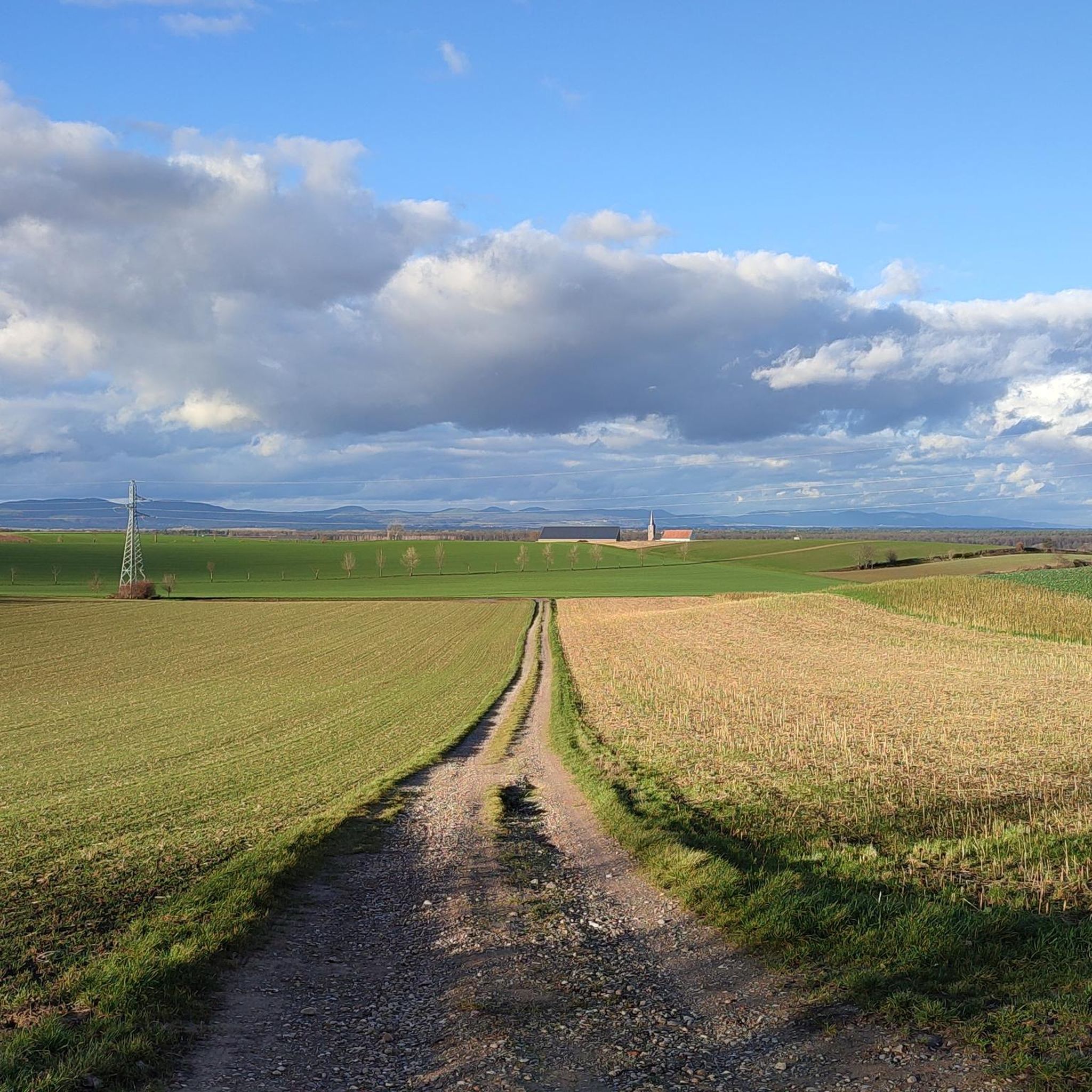
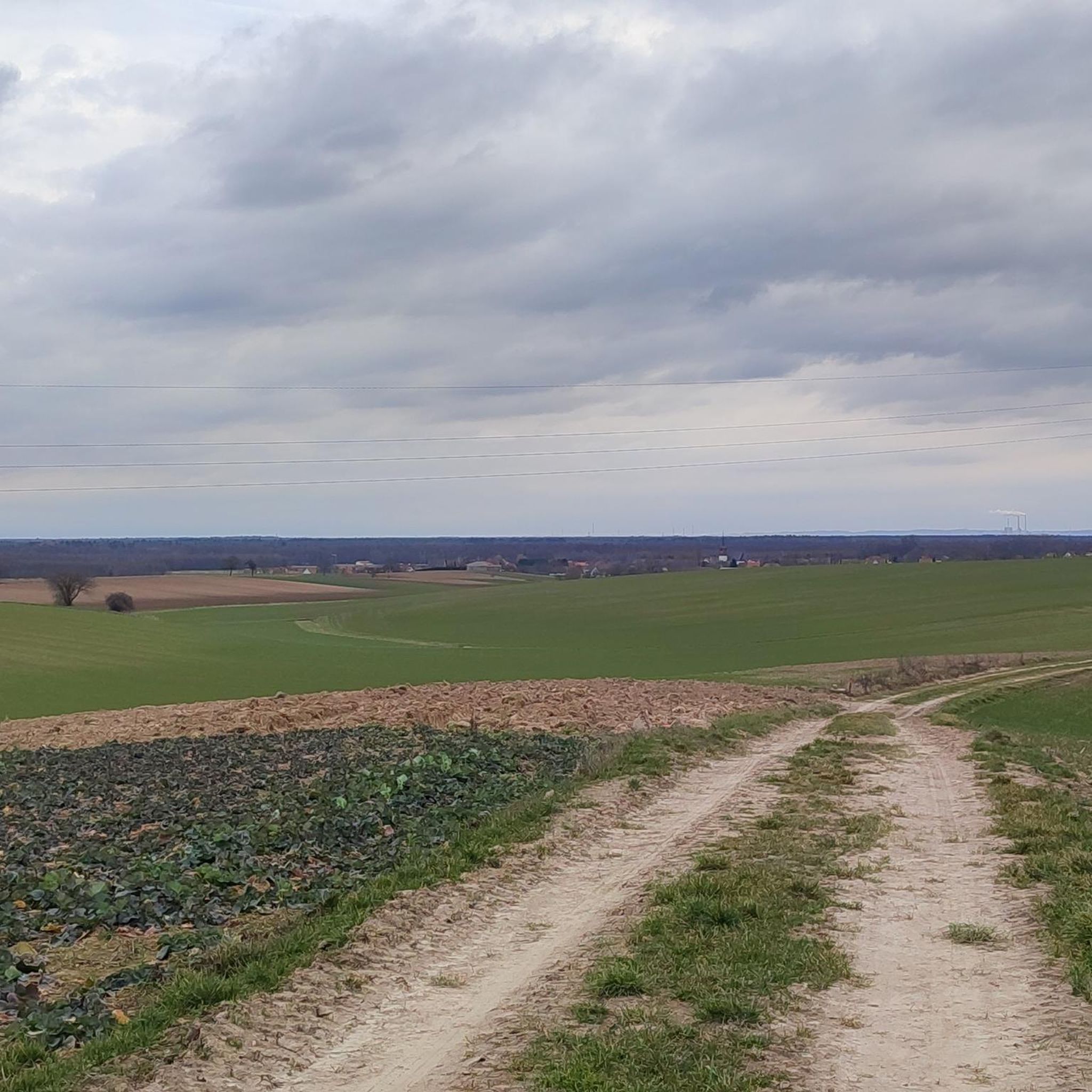
The region around Salmbach offers diverse scenery. You'll find routes along the Rhine river with open views, as well as trails winding through the dense Bienwald forest. Some paths feature rolling hills and moderate climbs, providing a mix of riverside landscapes and wooded tranquility.
What do other mountain bikers say about the trails in Salmbach?
The mountain bike trails in Salmbach are highly regarded by the komoot community, with an average rating of 4.5 stars from over 230 reviews. Riders often praise the varied terrain, well-maintained paths, and the beautiful mix of river and forest landscapes.
Are there any interesting landmarks or attractions along the mountain bike routes?
Yes, several routes pass by interesting points. You can explore the Sauer Delta Nature Reserve, ride along the scenic Rhine, or pass by the German-French border crossing in Scheibenhardt. There are also various huts and picnic shelters like the Steigert Hut and Grill Hut Büchelberg that can be found along or near the trails.
What is the best time of year for mountain biking in Salmbach?
Spring, summer, and autumn generally offer the best conditions for mountain biking in Salmbach. The weather is usually mild, and the trails are dry. While some trails may be accessible in winter, conditions can be wet or icy, especially in forested areas.
Are there options for food or rest stops along the mountain bike trails?
While specific pub stops are not highlighted for every route, the region has various huts and picnic shelters, such as the Jakobshäusche or Himmelreich Grill Hut, which can serve as good rest points. Many trails also pass through or near small towns where you can find refreshments.
Are there mountain bike rental services available in Salmbach?
While specific rental services in Salmbach are not listed in the guide, it's advisable to check with local tourism offices or sports shops in larger nearby towns for mountain bike rental options if you don't have your own.
What are the typical durations for mountain bike trails in Salmbach?
Trail durations vary significantly based on distance and difficulty. Easy routes like the Bienwaldmühle loop can take around 1 hour 49 minutes, while moderate trails such as the Col du Pigeonnier loop often require about 3 hours 6 minutes. Shorter, easier rides are also available for quick outings.
Most popular attractions around Salmbach

Get inspired with the komoot mobile app


Explore more
Browse the best MTB trails in other regions.
