The best walks and hikes around Givrycourt
4.6
(260)
1,109
hikers
50
hikes
Hiking around Givrycourt offers access to the diverse landscapes of the Parc naturel régional de Lorraine. The region features a mix of wetlands, humid forests, and varied terrain, including wide fields and ancient orchard plantations. Trails often follow streams like the Ruisseau des Roses and traverse wooded hills, providing open panoramas. This area provides a rich natural environment for exploration on foot.
Best hiking trails around Givrycourt
- The most popular hiking route is Canal next to the campsite – Old…
Last updated: May 8, 2026
5.0
(3)
11
hikers
17.9km
04:41
140m
140m
Moderate hike. Good fitness required. Easily-accessible paths. Suitable for all skill levels.
11
hikers
10.2km
02:37
50m
50m
Moderate hike. Good fitness required. Easily-accessible paths. Suitable for all skill levels.

Sign up for free
4.0
(1)
16
hikers
9.01km
02:21
60m
60m
Moderate hike. Good fitness required. Easily-accessible paths. Suitable for all skill levels.
3.5
(2)
6
hikers
13.0km
03:23
90m
90m
Moderate hike. Good fitness required. Easily-accessible paths. Suitable for all skill levels.
10
hikers
5.38km
01:23
20m
20m
Easy hike. Great for any fitness level. Easily-accessible paths. Suitable for all skill levels.
Get access to more routes and recommendations from other explorers.
Sign up for free
Already have an account?
Our route recommendations are based on thousands of hikes, rides, and runs completed by other people on komoot.
Start today with a free account
Your next adventure awaits.
Login or Signup
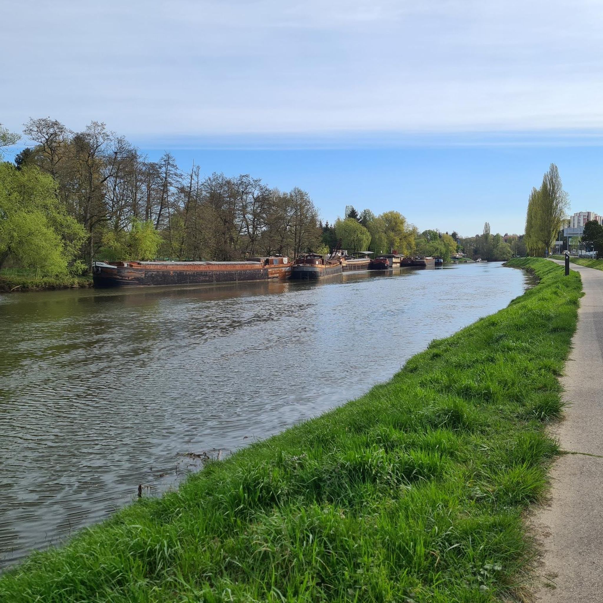
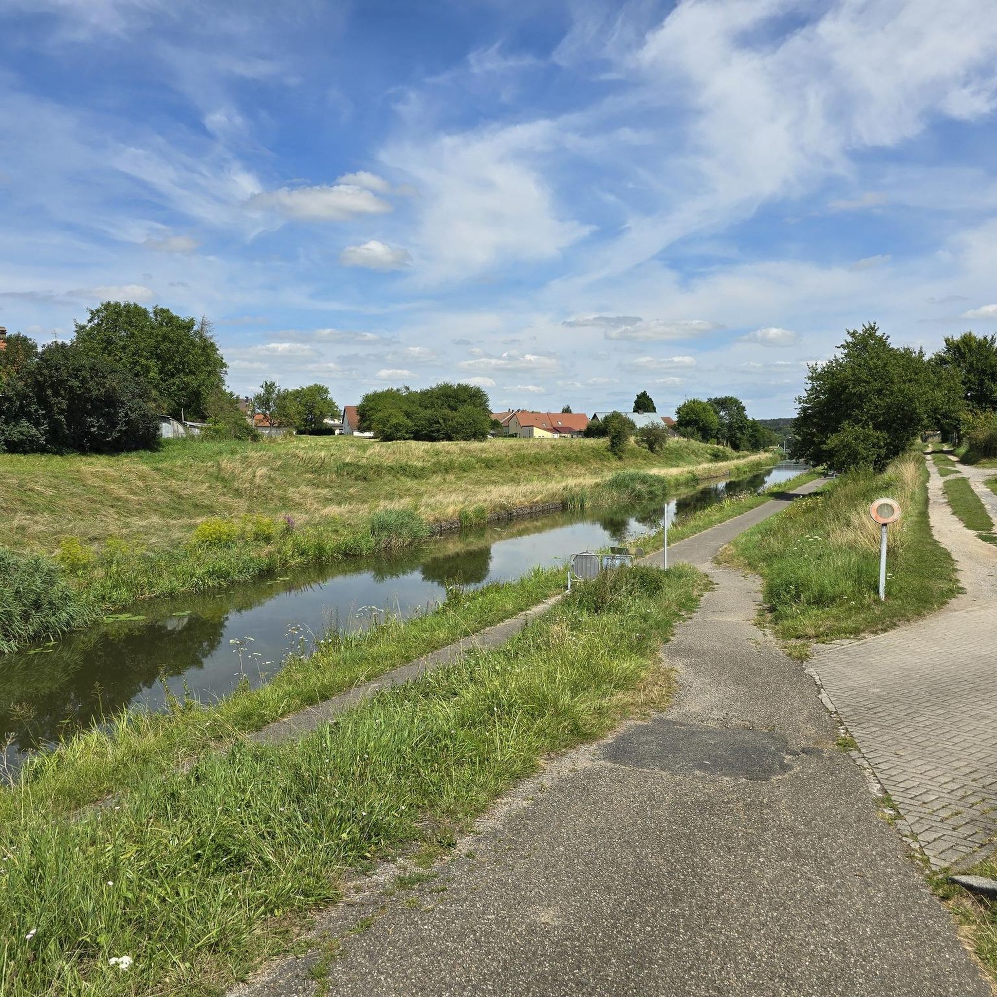
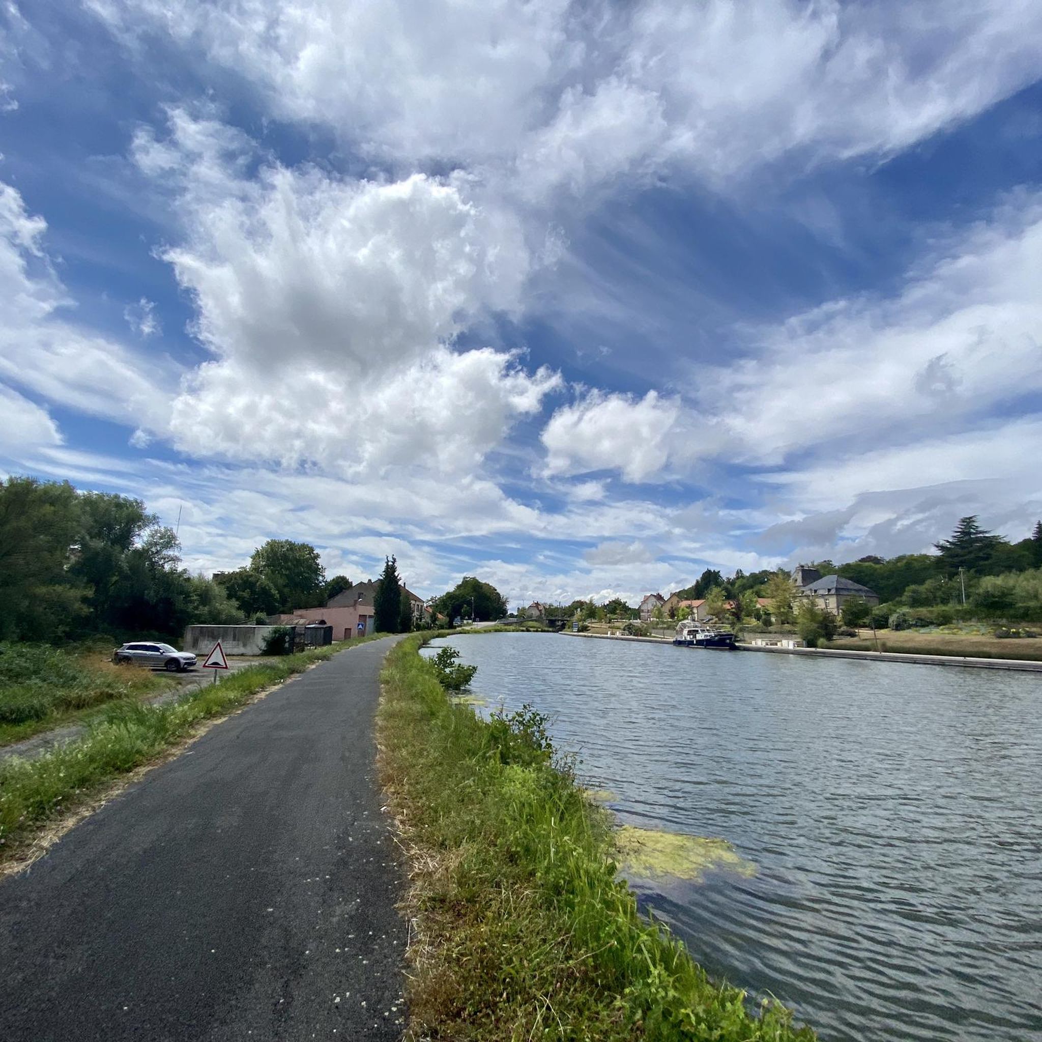
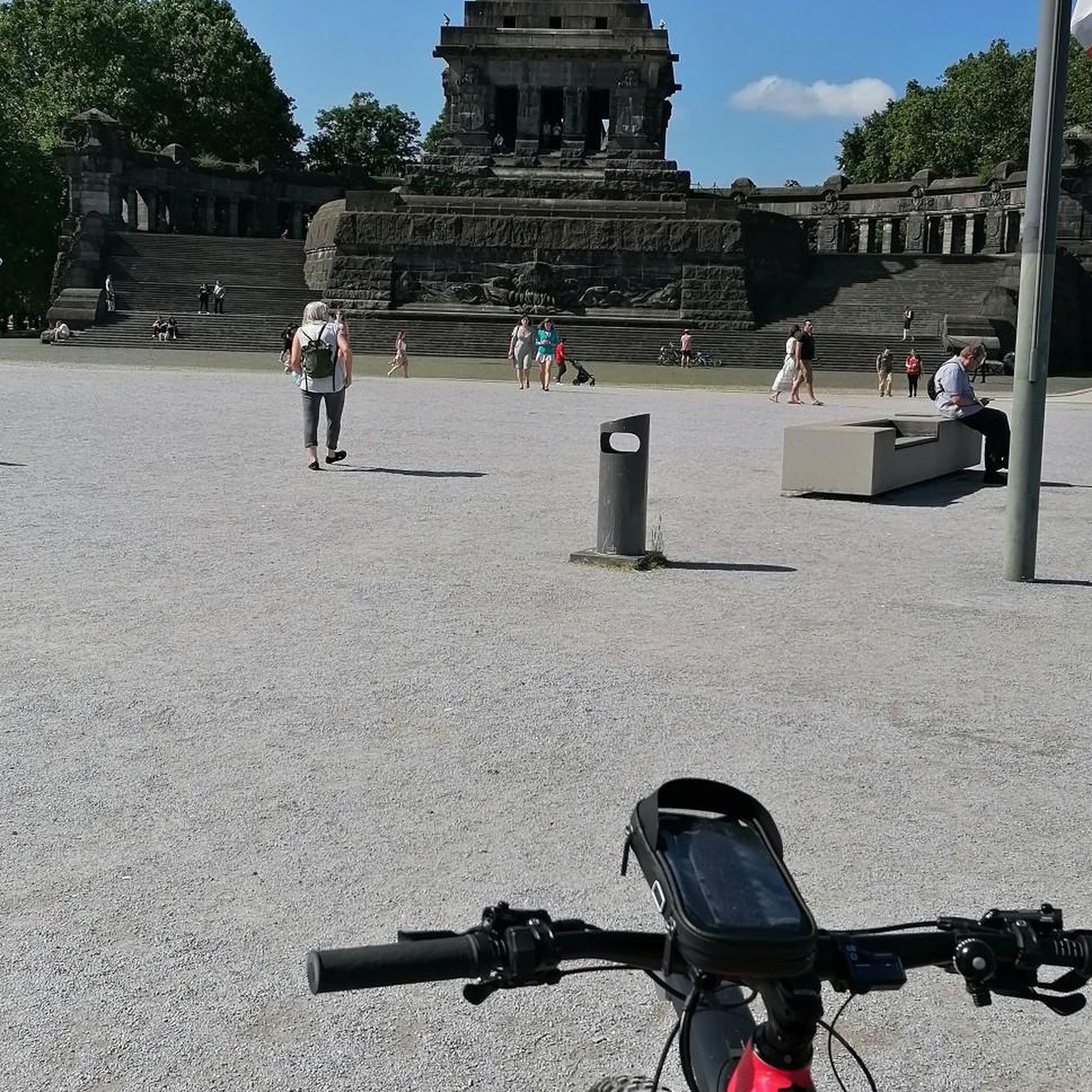

Tips from the Community

Cozy, friendly, good 👌
0
0
Friendly service is provided here, and snacks and drinks are available.
0
0

Great cycle path along the Saar Canal.
2
0

The cycle path stretches from Sarreguemines to Gondrexange.
0
0


Open only from Friday to Sunday from 10:30 a.m. to 8:00 p.m.
1
0
Open only Friday, Saturday and Sunday from 10:30 a.m. to 8:00 p.m. Closed all day Monday to Thursday.
1
0

Grandiose bike course with many impressions along the way. The many locks here are great photo opportunities
1
1
Frequently Asked Questions
How many hiking trails are available around Givrycourt?
There are over 50 hiking trails around Givrycourt, offering a variety of experiences. These include easy strolls, moderate paths, and a few more challenging routes, primarily within the diverse landscapes of the Parc naturel régional de Lorraine.
What kind of terrain can I expect on hikes near Givrycourt?
The terrain around Givrycourt is quite varied, characterized by the Parc naturel régional de Lorraine. You'll find diverse wetlands, numerous ponds like the Étang de Lindre, lush humid forests (such as Romersberg and Reine), wide fields, and ancient orchard plantations. Trails often follow streams like the Ruisseau des Roses and traverse wooded hills, providing open panoramas.
Are there hiking options for all skill levels in the Givrycourt area?
Yes, the Givrycourt area caters to various skill levels. There are 18 easy routes perfect for a relaxed walk, 33 moderate trails for those seeking a bit more challenge, and 1 difficult route for experienced hikers. This ensures there's something for everyone, from casual walkers to seasoned adventurers.
What natural features or landmarks can I see while hiking near Givrycourt?
While hiking near Givrycourt, you can explore significant natural features such as the expansive Grand Pond of Mittersheim, which is a central point for several routes. You'll also encounter the Canal des Houillères de la Sarre and the Cycle Path Along the Canal de la Sarre, offering pleasant waterside walks. The region is also rich in humid forests and wetlands, characteristic of the Parc naturel régional de Lorraine.
Are there family-friendly hiking trails near Givrycourt?
Yes, there are 18 easy routes around Givrycourt that are suitable for families. These trails often feature gentle terrain through forests or along ponds, providing enjoyable outings for all ages. For example, the Port Café loop from Mittersheim is an easy 3.3-mile (5.4 km) path that takes about 1 hour 20 minutes to complete.
Can I bring my dog on hikes around Givrycourt?
Generally, dogs are welcome on trails in the Parc naturel régional de Lorraine, which surrounds Givrycourt. However, it's always recommended to keep them on a leash, especially in areas with wildlife or near agricultural land, and to respect local signage. Always carry water for your dog and clean up after them.
Are there circular hiking routes available near Givrycourt?
Yes, many of the hiking routes around Givrycourt are circular, allowing you to start and end at the same point. Examples include the popular Canal next to the campsite – Old oak loop from Altwiller, the Grand Pond of Mittersheim – Port Café loop from Mittersheim, and the Hirbach Pond – Honnert Oak Tree loop from Le Val-de-Guéblange.
What do other hikers enjoy the most about hiking in Givrycourt?
The hiking experiences around Givrycourt are highly rated by the komoot community, with an average score of 4.6 stars from over 200 reviews. Hikers often praise the diverse natural landscapes, including the tranquil ponds and humid forests, and the well-maintained trails that offer a peaceful escape into nature.
What is the best time of year to go hiking in Givrycourt?
The best time to hike around Givrycourt is typically from spring to autumn. Spring brings blooming flora and pleasant temperatures, while autumn offers beautiful fall foliage. Summer is also enjoyable, especially in the shaded humid forests. Winter hiking is possible, but some trails might be muddy or require appropriate gear.
Are there any specific ponds or lakes I can hike around?
Yes, the region is known for its numerous ponds. You can hike around the Grand Pond of Mittersheim, which is a popular spot with several trails, including the Grand Pond of Mittersheim – Port Café loop from Mittersheim. The Étang de Lindre, though not directly in Givrycourt, is also a significant wetland nearby offering immersive walks.
Are there opportunities for longer, more challenging hikes?
While most routes are easy to moderate, there is one difficult route available for those seeking a greater challenge. Additionally, some moderate trails, like the Canal next to the campsite – Old oak loop from Altwiller, cover longer distances (11.1 miles / 17.9 km) and can provide a more extended hiking experience.
Where can I find parking for hikes near Givrycourt?
Parking is generally available at the start points of many popular trails, especially near towns like Mittersheim or Le Val-de-Guéblange, which serve as common access points to the regional park. Specific parking information is often detailed on individual route descriptions on komoot.
Most popular routes around Givrycourt
Most popular attractions around Givrycourt

Get inspired with the komoot mobile app


Explore more
Browse the best Hikes in other regions.
