The best MTB trails around Atting
4.4
(475)
1,732
riders
190
rides
Mountain biking around Atting offers access to diverse landscapes at the edge of the Bavarian Forest and along the Danube River. The region features rolling hills, deep valleys, and dense forests, providing varied terrain for mountain bike trails. Proximity to the Danube River also allows for routes along picturesque riverine landscapes. This area provides a range of mountain biking experiences, from flat river paths to more challenging routes with elevation gains in the surrounding low-mountain range.
Best mountain bike trails…
Last updated: October 21, 2026
5.0
(2)
14
riders
38.7km
02:15
50m
50m
Moderate mountain bike ride. Good fitness required. Advanced riding skills necessary.
4.1
(10)
17
riders
Moderate mountain bike ride. Good fitness required.

5.0
(2)
4
riders
25.4km
01:31
50m
50m
Easy mountain bike ride.
6
riders
40.7km
02:16
160m
160m
Moderate mountain bike ride. Good fitness required.
5
riders
25.8km
01:19
40m
40m
Easy mountain bike ride.
Get access to more routes and recommendations from other explorers.
Already have an account?
Our route recommendations are based on thousands of hikes, rides, and runs completed by other people on komoot.
Start today with a free account
Your next adventure awaits.
Tips from the Community


The city tower is the landmark of the Gäubodenstadt. It is visible from afar
0
0

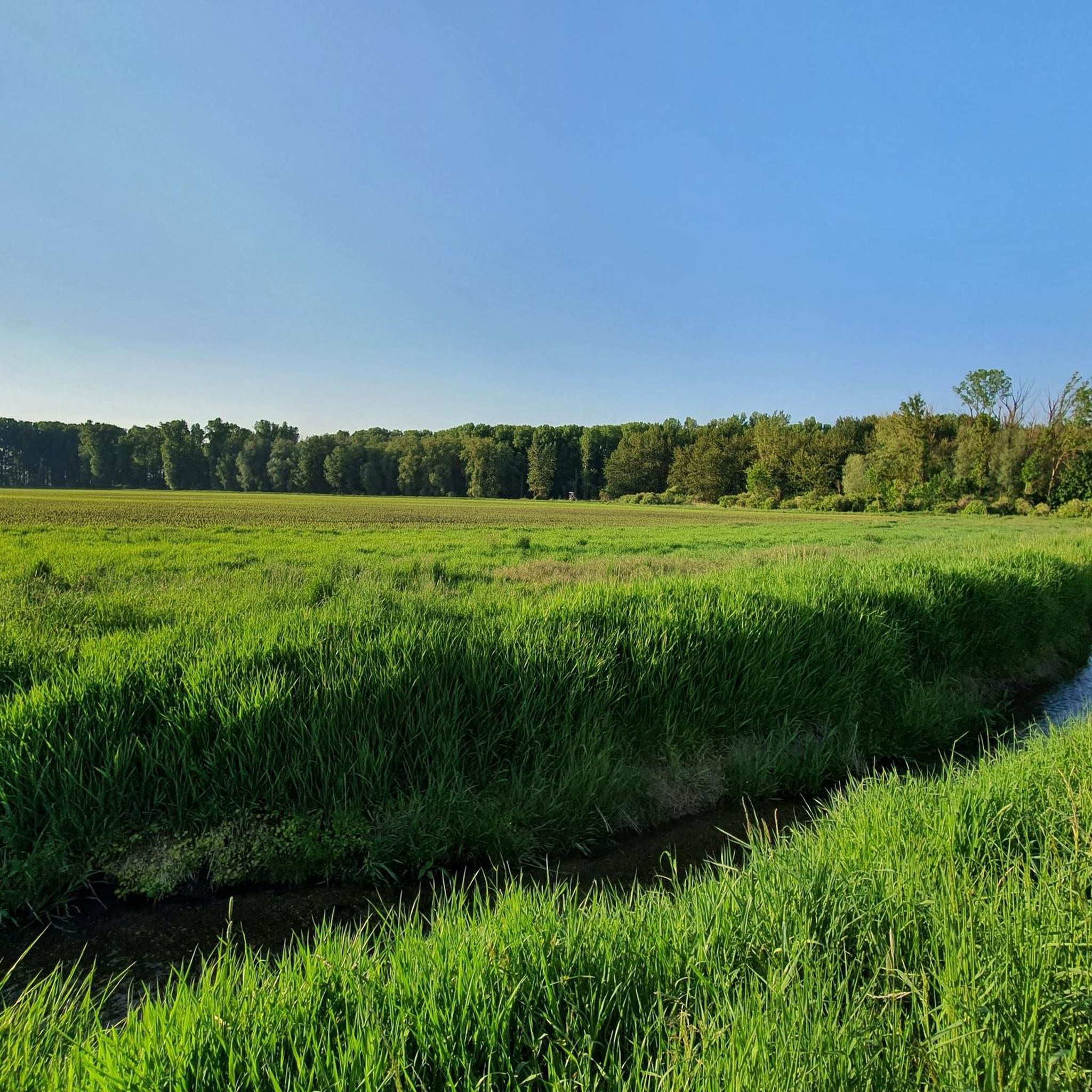
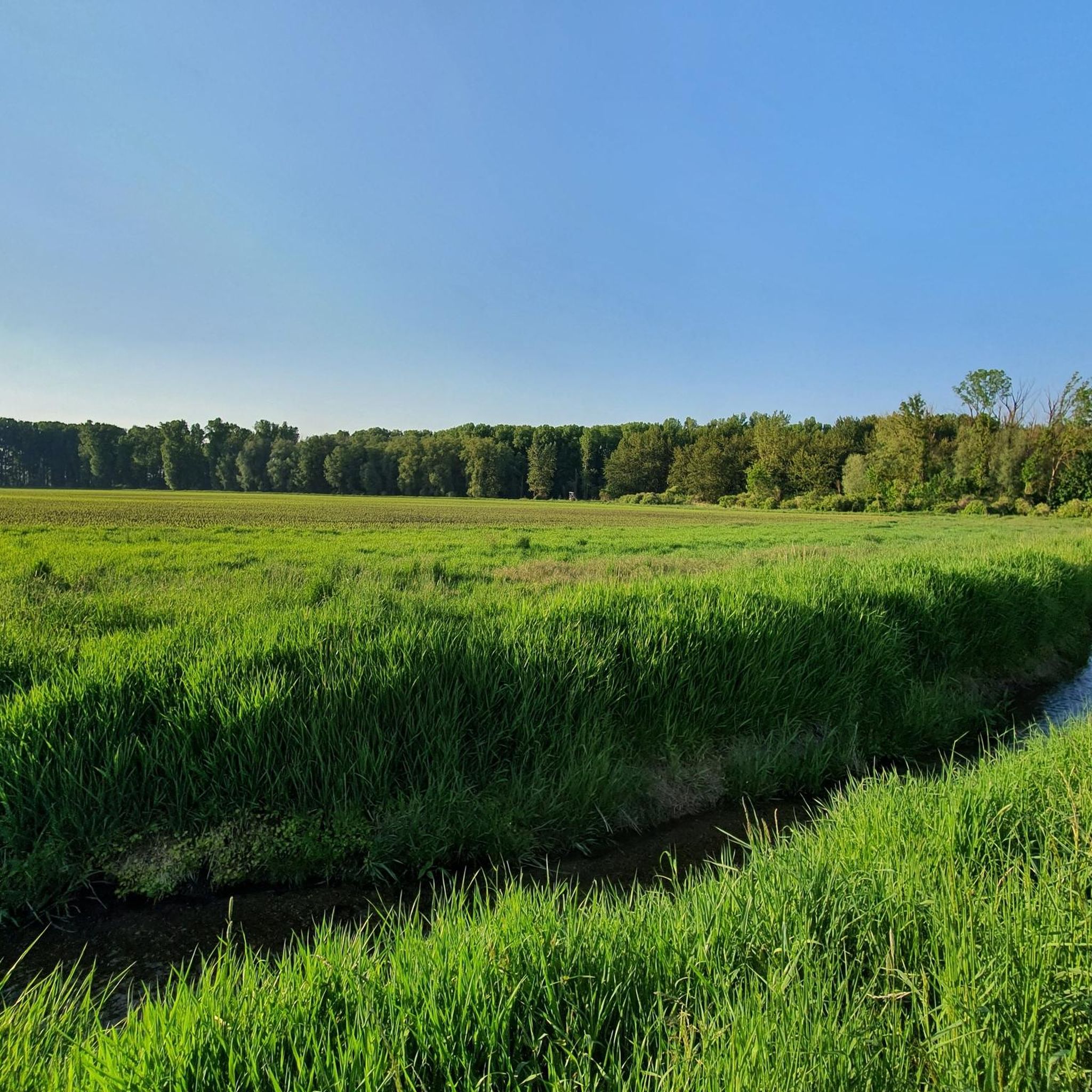
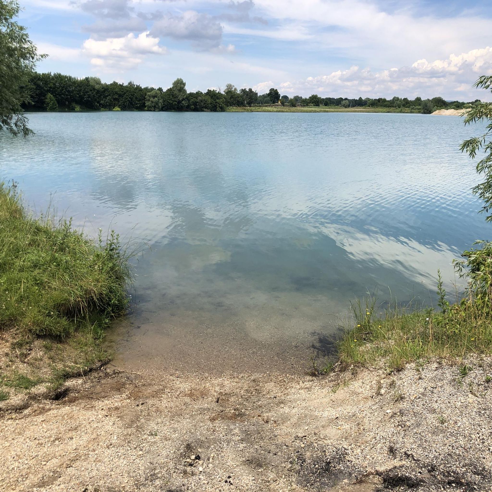
Quiet and peaceful - if the frogs aren't croaking.
0
0

The Straubing Lock was built in 1993 as part of the Straubing Weir project to ensure the navigability of the Danube. The lock chamber is located at Danube kilometer 2322.02. With a chamber length of 264 m, it has a usable length of 230 m and a usable width of 24 m. The lock chamber is constructed of concrete and is closed at both the upper and lower gates by a double-leaf mitre gate. Each mitre gate weighs 83 t. The 14-meter-high and 12-meter-wide steel gates rest on a spherical bearing. The chamber is filled and emptied via bypass channels, each with two bypass gates at the upper and lower gates. The chamber fills in 20 minutes with a lock water volume of 44,000 m³. A lockage takes 25 minutes. The lock has a total capacity of 73,000 m³. [1] The level of the upper edge of the lock platform is 321.5 m above sea level (NN), and the level of the lower lock sill is 308.7 m above sea level (NN). For maintenance and repair work on the gates and closures, the lock is equipped with a gantry crane with a lifting capacity of 100 tons, which can be moved along the entire length of the lock. At the associated weir of the Straubing power plant, the design impoundment level is 320 m above sea level (NN). The water level of the lower lock basin is 313.75 m above sea level (NN) at mean water level (MTF) and 312.32 m above sea level (NN) at regulated low water level (RNW). The corresponding head is 6.25 meters at MTF and 7.68 meters at MTW. An information panel at the facility states the lock head as 6.21 m. The lock is remotely controlled from the WSV control center in Regensburg. This control center also remotely operates the Geisling, Regensburg, and Bad Abbach locks. Originally, the Straubing lock was operated from the lock tower on site. Immediately below the lower lock gate, the Kagers Bridge crosses the Alte Donau lock canal. The Danube's kilometer markers show a discrepancy of 7.9 kilometers at the Straubing lock. Therefore, both kilometer markers 2330 and 2322 are present at the lock basin. Source: https://de.wikipedia.org/wiki/Schleuse_Straubing
1
0


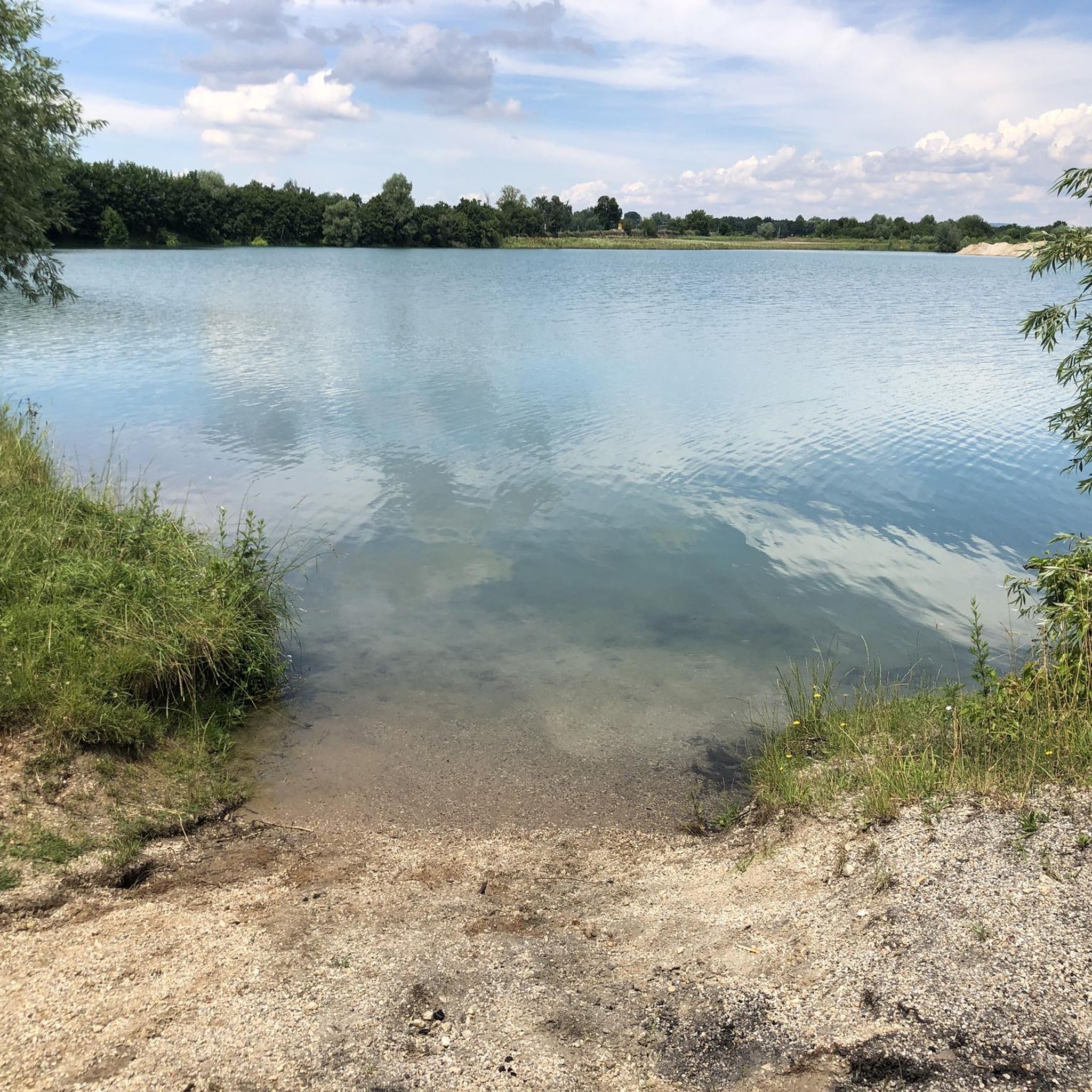
This town square is filled with life.
5
0

Frequently Asked Questions
How many mountain bike trails are available around Atting?
There are over 200 mountain bike trails around Atting, offering a wide range of options for different skill levels. The komoot community has rated these routes highly, with an average score of 4.5 stars.
What kind of terrain can I expect on mountain bike trails near Atting?
The terrain around Atting is diverse, characterized by rolling hills, dense forests, and picturesque riverine landscapes along the Danube. You'll find everything from flat, scenic paths along the river to more challenging routes with elevation gains in the surrounding low-mountain range towards the Bavarian Forest.
Are there easy mountain bike trails suitable for beginners or families in Atting?
Yes, Atting offers many easy mountain bike trails. For a flat and scenic ride, consider the Danube Cycle Path – Danube Near Irling loop from Atting, which is 32.7 km long. Another accessible option is the View of the Danube – Straubing Lock loop from Obermotzing, an easy 25.4 km route.
Are there any challenging mountain bike routes for experienced riders?
While the majority of trails are easy to moderate, there are 9 difficult mountain bike routes around Atting for those seeking more of a challenge. These routes often venture deeper into the rolling hills and forests, providing more technical sections and significant elevation changes.
What natural attractions can I see while mountain biking near Atting?
The region boasts several natural highlights. You can explore the Gmünder Au 🐸 Danube Wetland, the Rainer Forest Nature Reserve, or the Bschlacht – Former Danube Diversion. Many routes also offer views of the Danube River and the foothills of the Bavarian Forest.
Are there any historical or cultural landmarks along the mountain bike routes?
Yes, you can combine your ride with visits to historical sites. The Pilgrimage Church of St. John – Neurother Stream Crossing loop from Obermotzing passes by a notable church. Nearby, you can also find the Ducal Castle Straubing 🏰 and the Straubing Market Square, which are accessible from some routes.
What do other mountain bikers say about the trails in Atting?
The mountain bike trails in Atting are highly regarded by the komoot community, with an average rating of 4.5 out of 5 stars from over 400 reviews. Riders often praise the varied terrain, the scenic views along the Danube, and the well-maintained paths through forests and rolling hills.
Are there circular mountain bike routes available in Atting?
Many of the mountain bike routes around Atting are designed as loops, allowing you to start and end at the same point. Examples include the Danube Near Irling – Danube Cycle Path loop from Rain (38.7 km) and the View of Wiesendorf – Pond with Wooden Dock loop from Alburg (34.7 km).
What is the best time of year for mountain biking in Atting?
The region is generally pleasant for mountain biking from spring through autumn. The green forests and riverine landscapes are particularly beautiful during these seasons. While winter riding is possible, some trails might be affected by snow or ice, especially in higher elevations closer to the Bavarian Forest.
Can I bring my dog on the mountain bike trails in Atting?
Many trails in the Atting region, especially those through forests and along the Danube, are suitable for dogs. However, it's always recommended to keep dogs on a leash, especially in nature reserves or areas with wildlife, and to check local regulations for specific trails or protected areas.
Are there good viewpoints along the mountain bike trails in Atting?
Yes, many routes offer scenic viewpoints. Trails that traverse the rolling hills provide elevated perspectives of the surrounding landscapes, including the Danube River and the distant Bavarian Forest. The View of the Danube – Straubing Lock loop from Obermotzing, for instance, offers great river views.
Most popular attractions around Atting

Get inspired with the komoot mobile app


Explore more
Browse the best MTB trails in other regions.
