The best walks and hikes around Sessenheim
4.5
(1116)
4,935
hikers
18
hikes
Hiking around Sessenheim offers accessible routes through the flat plains of the Alsace region, characterized by its low elevation and proximity to the Moder river. The terrain primarily consists of open fields, agricultural land, and small forested sections, providing a gentle hiking experience. Trails often follow riverbanks or quiet country roads, with minimal elevation changes. This landscape is suitable for relaxed walks and exploring the local environment.
Best hiking trails around Sessenheim
- The most popular hiking route is Dalhunden Town…
Last updated: September 28, 2026
5.0
(1)
14
hikers
16.5km
04:09
20m
20m
Moderate hike. Good fitness required. Easily-accessible paths. Suitable for all skill levels.
2.0
(1)
7
hikers
11.1km
02:48
20m
20m
Moderate hike. Good fitness required. Easily-accessible paths. Suitable for all skill levels.

5.0
(1)
10
hikers
8.07km
02:02
10m
10m
Moderate hike. Good fitness required. Easily-accessible paths. Suitable for all skill levels.
5.0
(1)
8
hikers
6.25km
01:35
10m
10m
Easy hike. Great for any fitness level. Easily-accessible paths. Suitable for all skill levels.
4.0
(2)
6
hikers
4.31km
01:05
0m
0m
Easy hike. Great for any fitness level. Easily-accessible paths. Suitable for all skill levels.
Get access to more routes and recommendations from other explorers.
Already have an account?
Our route recommendations are based on thousands of hikes, rides, and runs completed by other people on komoot.
Start today with a free account
Your next adventure awaits.
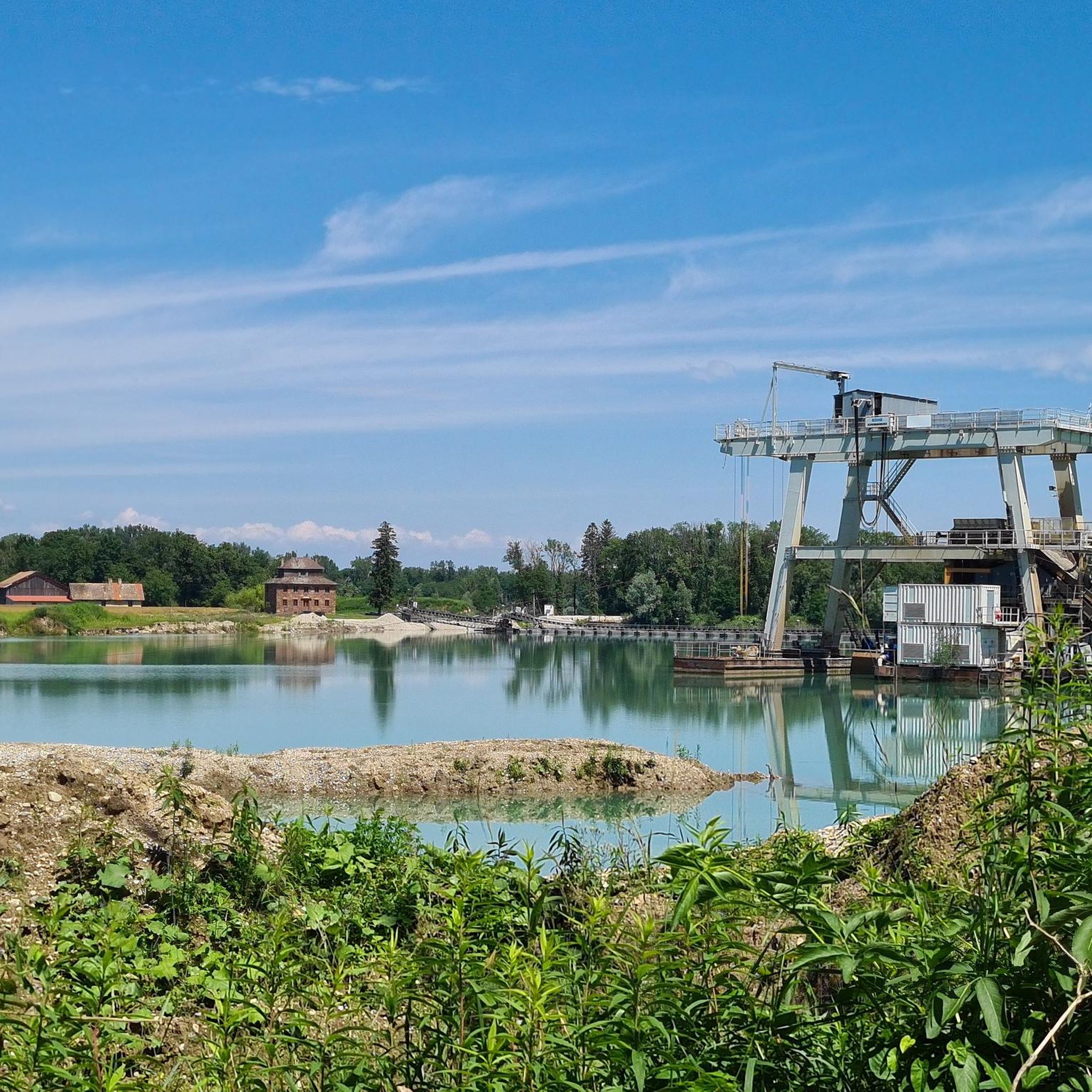
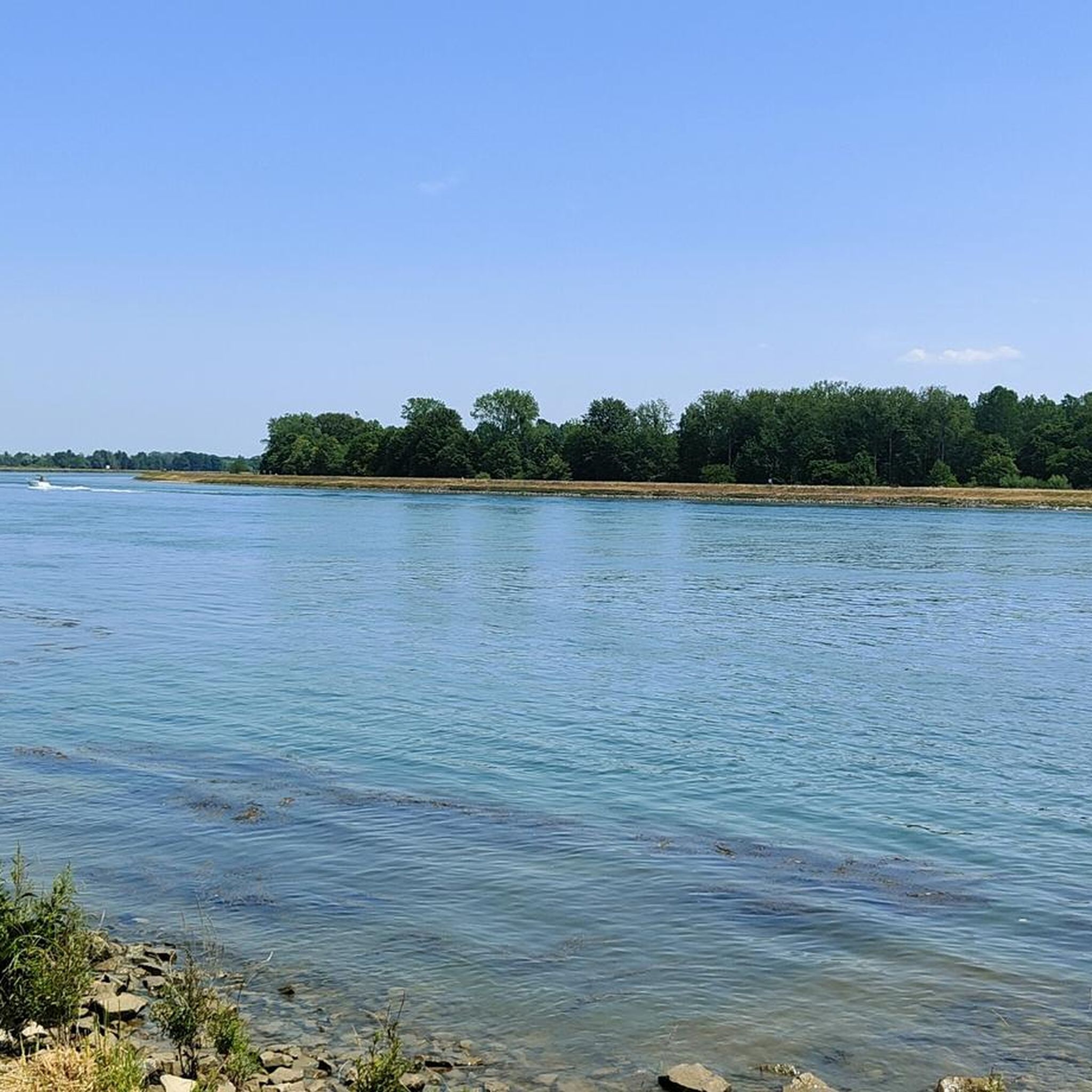
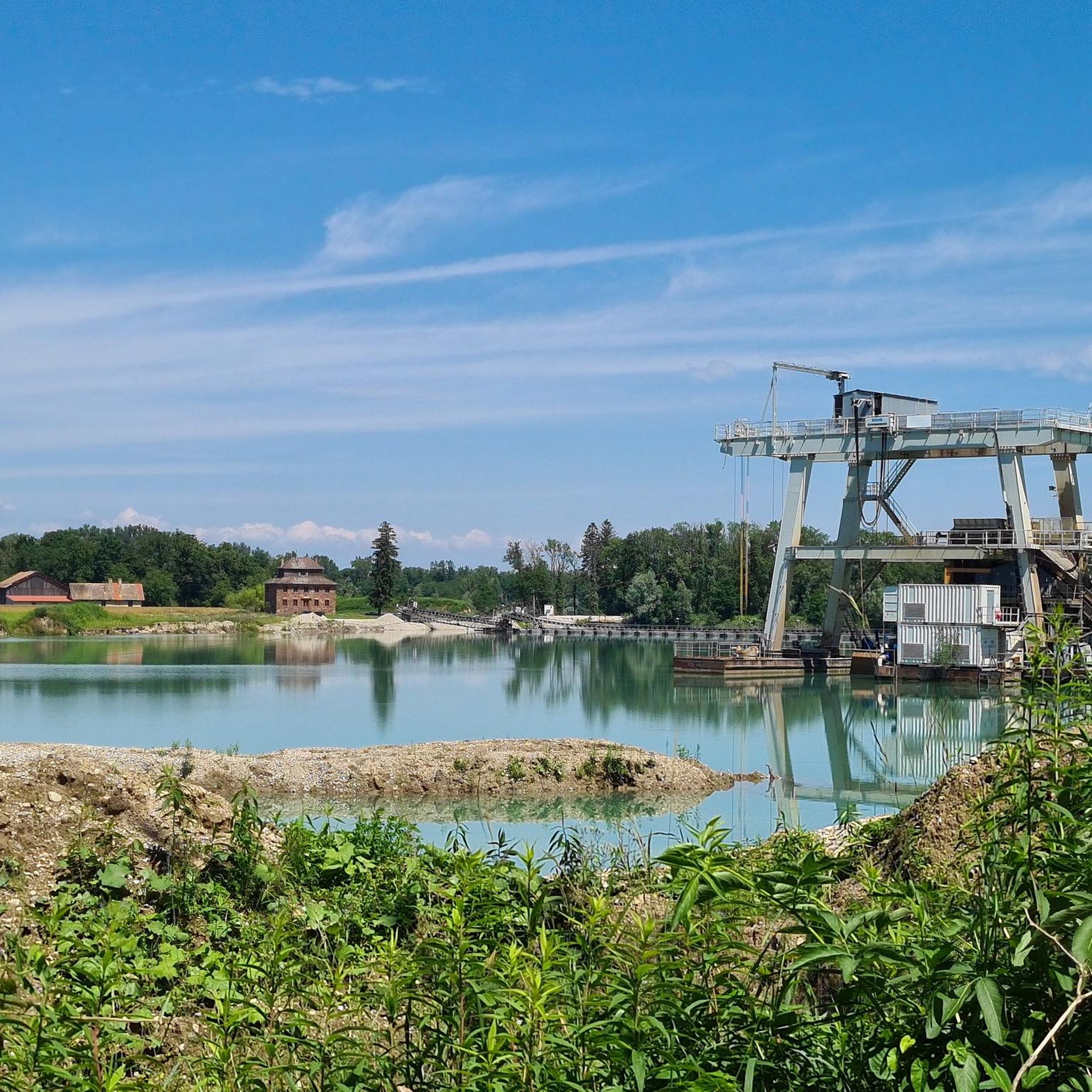
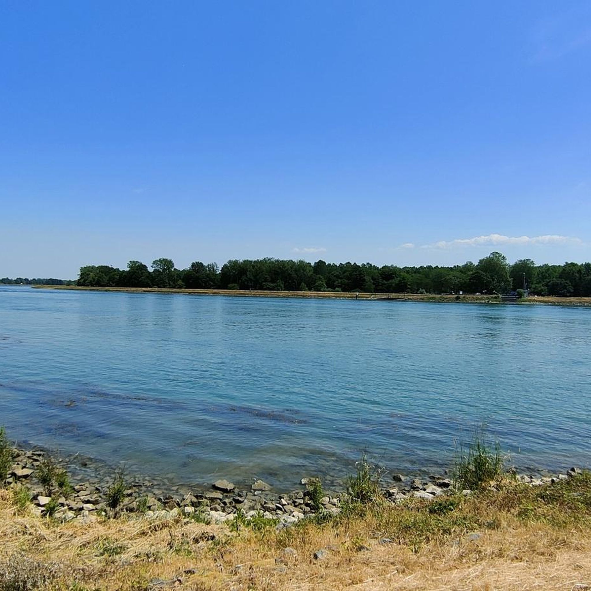
Tips from the Community

There are so many vintage cars rusting away here. Mainly Citroens, but we also found NSUs from Heilbronn and an Auto Union vehicle.
0
0


Main fort of Fort-Louis, former fortress In 1686, King Louis XIV of France ordered the construction of a fortress in Lower Alsace, directly on the border with the Margraviate of Baden. It was built over a period of ten years from 1687 on an island in the Rhine, which was not yet regulated at the time, according to plans by Sébastien Le Prestre de Vauban and the fortress engineer Jacques Tarade. The medieval palace in Haguenau, around twenty kilometers away, was razed to the ground and the usable stones were used to build the new fortress on the Rhine. Two outlying forts were built as bridgeheads on the opposite banks of the Rhine, Fort Alsace on the Alsatian side and Fort Marquisat on the Baden bank. To the south of the main fort, called Fort Carré, the regular street grid of the municipality of Fort-Louis was created on the island, and the king promoted its settlement with privileges. Fort Marquisat had to be abandoned after the Peace of Rijswijk in 1697, and finally after the Peace of Rastatt in 1714. The main fortress was stormed in 1793 in the First Coalition War and further destroyed in 1815-18. Since the Rhine was straightened in the 19th century, the fort and the municipality have been located on the left bank of the Rhine. Remains of the fortress are still there today, with information boards in front of and on the site of the former fortification.
1
0

The whole thing probably belongs to a workshop for “classic cars”.
3
0

In addition to the Citroen buses, there are other models, including non-French ones.
4
0

A curious collection of old Citroen buses...
3
1

On this site there is an incredible quantity of Van Citroën Type H also called "taulé"
3
1

Napoleon Bank / Banc-reposoir (1854) in Sessenheim, Rue de Eglise The benches in Alsace are public benches that were set up in Alsace in two phases in the 19th century. Most of the benches that still exist today are protected as cultural monuments (monument historique). On market days, the farmers carried their goods in baskets or huts to the markets in the surrounding towns. To take a short rest, they sat down on benches and set down their goods. Trees planted near the benches provided shade. There are two types of benches in Alsace: those built in 1811/12, named after the Roi de Rome those built in 1854, named after the Empress Eugénie
2
1
Frequently Asked Questions
How many hiking trails are available around Sessenheim?
There are over 15 hiking trails around Sessenheim, offering a variety of options for exploring the flat plains of the Alsace region. The majority of these routes are classified as easy, with a few moderate options available.
Are there any easy hiking trails suitable for beginners in Sessenheim?
Yes, Sessenheim is ideal for beginners, with 13 out of 18 routes classified as easy. These trails typically feature low elevation and follow gentle paths through agricultural land and small forested sections. An excellent option for a relaxed outing is the Benches loop from Sessenheim, an easy 4.9 miles (7.9 km) path.
What kind of terrain can I expect on hikes around Sessenheim?
The terrain around Sessenheim is characterized by flat river plains, agricultural landscapes, and small wooded areas. Trails often follow riverbanks, such as the Moder, or quiet country roads, with minimal elevation changes. This makes for a gentle and accessible hiking experience.
Are there any circular walks in the Sessenheim area?
Yes, many of the trails around Sessenheim are circular, allowing you to start and end at the same point. For example, the popular Dalhunden Town Hall – Metal Bridge over the Moder loop from Sessenheim is a moderate 7.2 miles (11.6 km) circular route that follows the Moder river.
What are some interesting natural sights or landmarks to see while hiking?
While hiking around Sessenheim, you can discover several natural and historical points of interest. You might encounter highlights such as the Erländer Lake or the confluence where the Moder meets the Rhine. The Goethe Memorial loop from Sessenheim also leads through an area with historical significance.
Are the hiking trails around Sessenheim suitable for families with children?
Yes, the generally flat and easy terrain makes many trails around Sessenheim suitable for families. The low elevation and well-maintained paths provide a safe and enjoyable environment for children. Consider shorter, easy routes like the Goethe Memorial loop from Sessenheim, which is only 2.3 miles (3.7 km).
What do other hikers say about the trails in Sessenheim?
The hiking routes in Sessenheim are highly rated by the komoot community, with an average score of 4.5 stars from nearly 1000 reviews. Hikers often praise the peaceful atmosphere, the gentle paths, and the scenic views of the river and countryside.
Is Sessenheim a good destination for winter hiking?
Given the region's flat terrain and low elevation, Sessenheim can be suitable for winter walks, provided conditions are safe. The trails are less likely to be affected by heavy snow or ice compared to mountainous regions, offering a different perspective on the agricultural and river landscapes. Always check local weather conditions before heading out.
Are there any longer or more challenging routes for experienced hikers?
While Sessenheim is known for its gentle trails, there are a few moderate options for those looking for a slightly longer outing. The Dalhunden Town Hall – Metal Bridge over the Moder loop from Sessenheim is a moderate 7.2 miles (11.6 km) route, offering a good distance without significant elevation gain.
Can I bring my dog on the hiking trails in Sessenheim?
Many trails in the Sessenheim area are generally dog-friendly, especially those through open fields and along riverbanks. However, it's always recommended to keep your dog on a leash, especially when passing through agricultural areas or near wildlife habitats. Please be mindful of local regulations and respect private property.
Are there options for public transport to reach hiking trailheads in Sessenheim?
Sessenheim is a small commune, and while local bus services might connect to nearby towns, direct public transport to specific trailheads can be limited. It's advisable to check regional transport schedules in advance. Many visitors opt for personal vehicles, which also offers flexibility for reaching various starting points.
Is parking available near the hiking trails in Sessenheim?
Parking is generally available in and around Sessenheim, particularly near the village center or at designated starting points for popular routes. As the area is less crowded than major tourist destinations, finding parking is usually not a significant issue. Always look for official parking areas to avoid inconvenience.
Most popular routes around Sessenheim
Most popular attractions around Sessenheim

Get inspired with the komoot mobile app


Explore more
Browse the best Hikes in other regions.
