The best MTB trails around Attenweiler
4.5
(739)
2,766
riders
535
rides
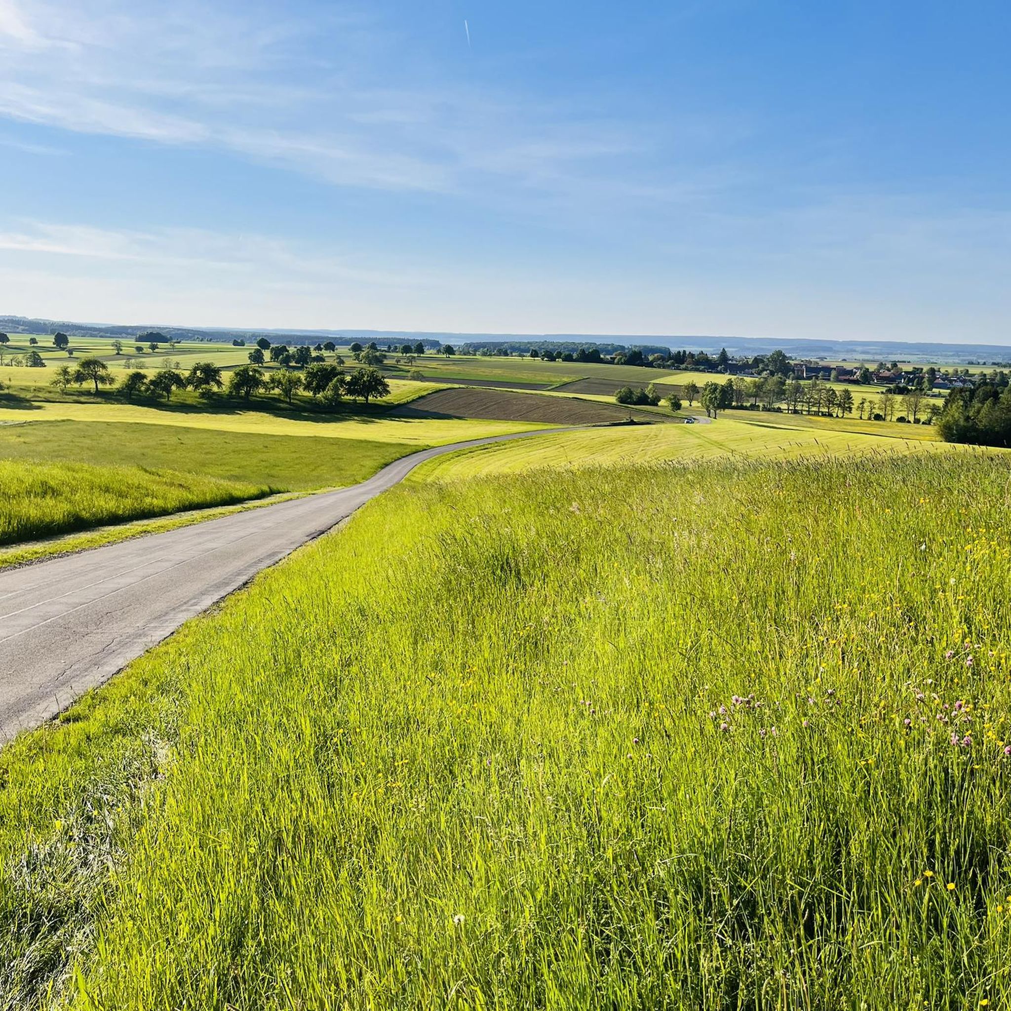
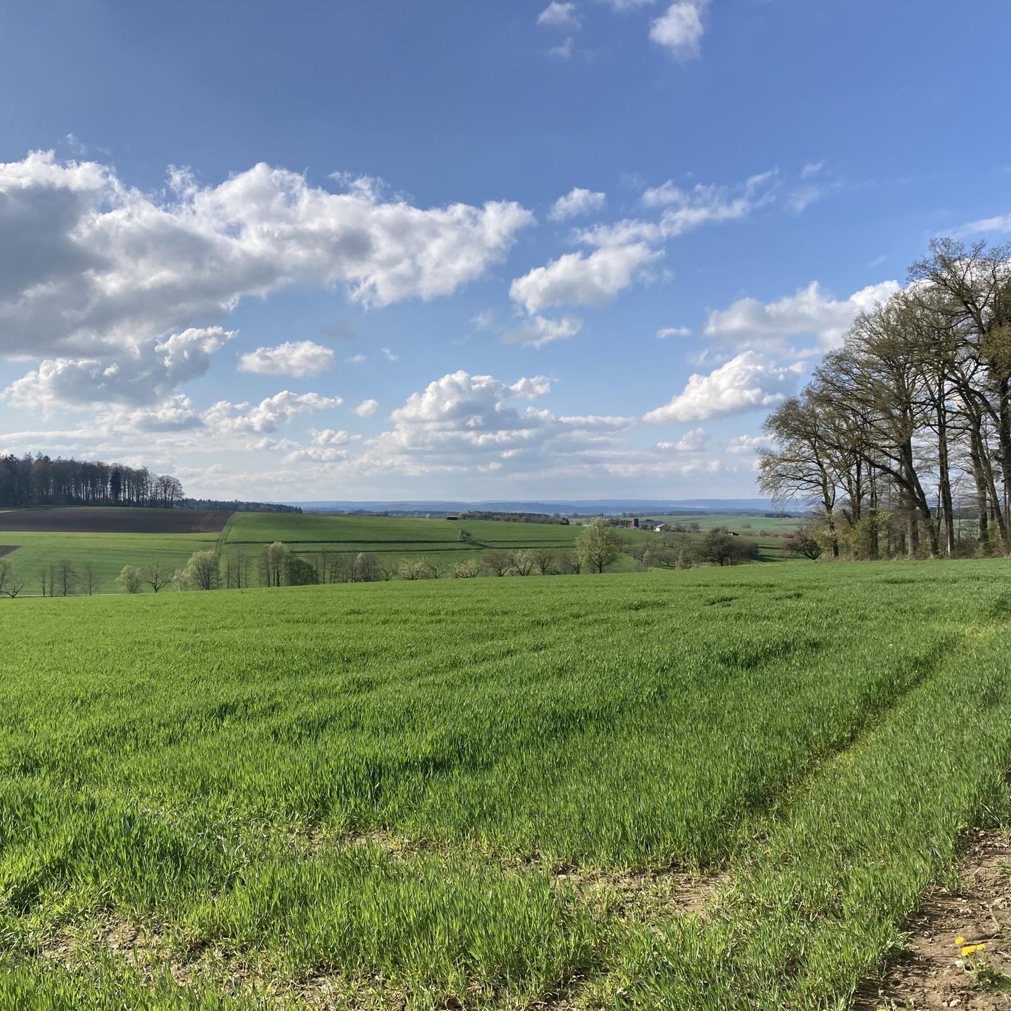
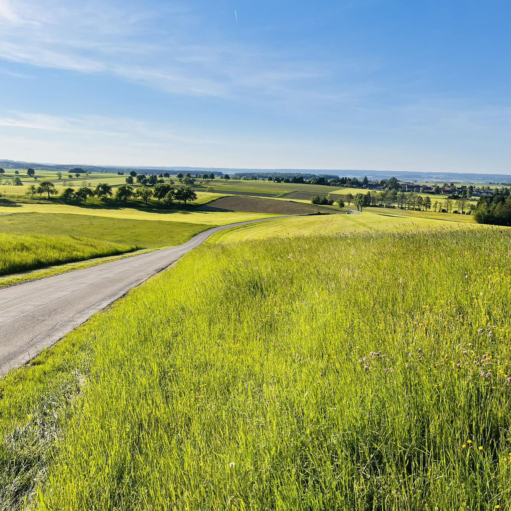
Mountain biking around Attenweiler offers a diverse landscape characterized by rolling hills, agricultural fields, and serene lakes. The region features a network of trails that traverse through varied terrain, including sections near natural reserves and cultural landmarks. Riders can expect routes that combine open stretches with forested paths, providing a mix of surfaces suitable for mountain biking. The elevation changes are generally moderate, making the area accessible for a range of skill levels.
Best mountain bike trails around Attenweiler
- The…
Last updated: October 7, 2026
4.3
(10)
17
riders
55.5km
03:21
500m
490m
Moderate mountain bike ride. Good fitness required. Advanced riding skills necessary.
6
riders
34.2km
02:19
320m
320m
Moderate mountain bike ride. Good fitness required. Advanced riding skills necessary.

3
riders
Moderate mountain bike ride. Good fitness required. Advanced riding skills necessary.
5.0
(1)
5
riders
35.9km
02:09
290m
290m
Moderate mountain bike ride. Good fitness required. Advanced riding skills necessary.
3.0
(2)
3
riders
28.8km
01:42
180m
180m
Easy mountain bike ride. Great for any fitness level. Suitable for all skill levels.
Get access to more routes and recommendations from other explorers.
Already have an account?
Our route recommendations are based on thousands of hikes, rides, and runs completed by other people on komoot.
Start today with a free account
Your next adventure awaits.
Tips from the Community

A brief explanation of the patronage of 'MARY OF THE SNOW', which visitors don't often encounter: This dedication takes us far back in church history to the fourth/fifth century, and geographically from Baden-Württemberg to Rome. On August 5, 363, the so-called "miracle of the snow" occurred at the site where the church of Santa Maria Maggiore now stands. This means that on that day, in the middle of summer, snow lay there in the morning because the Virgin Mary wished to have a church dedicated to her built on that spot. She conveyed this wish in a vision to a wealthy couple – who subsequently initiated and financed the construction – and to the Bishop of Rome, who at that time was Pope Liberius. The Roman church holds the rank of a patriarchal basilica (papal basilica) and is the origin of all churches and chapels with this patronage. In the liturgical calendar of the Catholic Church, August 5th, the feast day of the church's consecration (in the year 432 by Pope Sixtus III), is an optional memorial. Santa Maria Maggiore in Rome was the focus of international attention a few months ago, as Pope Francis, who died on Easter Monday this year, had designated this church as his final resting place.
0
0

The Federsee near Bad Buchau in the Upper Swabian district of Biberach is the second-largest lake in Baden-Württemberg, with an area of 1.4 km². It lies in the middle of the largest contiguous moorland in southwest Germany, covering 33 km², and is the remnant of a once much larger post-glacial lake covering approximately 50 km². This complex of lake and moor now forms the core of the geological Federsee Basin, which, following renaturation measures, now possesses outstanding natural and cultural-historical significance with its former shores and islands. Source: Wikipedia
1
0


The White Tower, a striking landmark of Biberach, was completed in 1484 after eight years of construction as a late Gothic brick building. With a height of 41 meters and a diameter of 10 meters, it still dominates the cityscape today. The walls, which are up to 2.80 meters thick and taper towards the top, testify to its original function as a defense and watchtower. As a status symbol of the wealthy imperial city of Biberach, the tower received its characteristic white paint job. It formed the end of the medieval city fortifications, which once included 24 small turrets and four city gates. Together with the Gigelturm, it is one of the last remaining towers of the former city fortifications. As part of the "Historical City Tour", you have the opportunity to climb the White Tower every Saturday afternoon and enjoy the incomparable view of the city. Biberach's City Garden was created in 1977 based on designs by the landscape architects Mien Ruys (1904-1999) from Amsterdam and Jo Hagel from Biberach. In summer, the lower level of the garden transforms into a sea of flowers. Among the flowers, shrubs, and a small pond, one can relax on one of the many seating areas. Located slightly higher up and carved into the mountain is the City Garden Rondell, where concerts are held during the summer holidays. The White Tower overlooks the City Garden. Several paths lead up to Gigelberg, past the White Tower and Gigelturm, and over the Hirschgraben.
3
0


Beautiful market square, historic buildings nicely renovated. However, unfortunately, almost no greenery in the city center, so there is no shade in the summer and no place where you would want to sit. In addition, almost everything is open to car traffic, i.e. There are cars everywhere, parked or moving... which makes it mostly stressful to explore the city center by bike. A great shame and a missed opportunity for Biberach's city center.
2
0
Biberach has a small city park next to the town hall, next to it a beautiful market square, and historical buildings that have been beautifully renovated. Unfortunately, there is little greenery in the city center, almost everything is open to car traffic and therefore there are cars everywhere, parked or driving... so it can be stressful to explore the city center by bike. It's a real shame and a missed opportunity for Biberach's city center.
2
0
Frequently Asked Questions
How many mountain bike trails are available around Attenweiler?
Attenweiler offers a wide selection of mountain bike trails, with over 540 routes available for exploration. This includes a diverse range of options suitable for various skill levels.
Are there easy mountain bike trails for beginners in Attenweiler?
Yes, Attenweiler has over 100 easy mountain bike trails, perfect for beginners or those looking for a relaxed ride. An example of an easy route is the Assmannshardt Church – White Tower, Biberach loop from Aßmannshardt, which is 16.8 miles (27.0 km) long.
What kind of terrain can I expect on mountain bike trails in Attenweiler?
The region around Attenweiler is characterized by rolling hills, agricultural fields, and serene lakes. Trails often combine open stretches with forested paths, providing a mix of surfaces. Elevation changes are generally moderate, making the area accessible for a range of skill levels.
Are there any challenging mountain bike routes for experienced riders?
While the majority of trails are easy to moderate, there are a few more challenging options. Attenweiler features 7 difficult mountain bike trails for those seeking a more demanding experience.
What are the typical distances and durations for mountain bike trails in Attenweiler?
Trail distances vary, but many popular routes range from 15 to 35 miles. For instance, the Burren Inn – Baggersee Alberweiler loop from Grundsheim is 21.3 miles (34.2 km) and typically takes around 2 hours 19 minutes.
Are there circular mountain bike routes available?
Yes, many of the mountain bike trails in Attenweiler are designed as loops, allowing you to start and end at the same point. For example, the Baggersee Alberweiler – Baggersee Alberweiler loop from Aßmannshardt is a popular circular route.
What do other mountain bikers say about the trails in Attenweiler?
The mountain bike trails in Attenweiler are highly regarded by the komoot community, holding an average rating of 4.5 stars from over 600 reviews. Riders often praise the varied terrain and scenic views.
What natural attractions can I see along the mountain bike trails?
You can encounter several natural monuments and scenic spots. Highlights include the Federseesteg Boardwalk Through Federsee Moor, the Federsee Boardwalk, and the Federsee Observation Platform, offering views of the Federsee Nature Reserve.
Are there any cultural or historical landmarks near the mountain bike routes?
Yes, some routes pass by interesting sites. For example, the Federsee Pile Dwellings – View of Seekirch loop from Aßmannshardt offers views of the Federsee lake and its historic pile dwellings. You might also find religious buildings like the Lourdes Grotto Near Uttenweiler.
Are there any trails that offer panoramic views?
Absolutely. The Burren Inn – View of Bussen loop from Ahlen trail includes climbs towards the Bussen hill, providing extensive panoramic views of the surrounding countryside.
Most popular routes around Attenweiler
Most popular attractions around Attenweiler

Get inspired with the komoot mobile app


Explore more
Browse the best MTB trails in other regions.
