The best road cycling routes around Guarbecque
4.3
(48)
2,653
riders
234
rides
Road cycling routes around Guarbecque traverse a landscape characterized by gentle river valleys and agricultural plains, occasionally punctuated by low hills. The region, situated in northern France, offers a mix of open country roads and routes passing through historical towns and villages. Elevations are generally modest, with some longer routes featuring more sustained climbs. This terrain provides varied conditions suitable for different road cycling preferences.
Best road cycling routes around Guarbecque
- The most popular road cycling route is Waterfall of…
Last updated: November 5, 2026
4.0
(1)
35
riders
63.5km
02:49
360m
360m
Moderate road ride. Good fitness required. Some segments of this route may be unpaved and difficult to ride.
35
riders
96.2km
03:50
320m
320m
Moderate road ride. Good fitness required. Mostly well-paved surfaces and easy to ride.

11
riders
195km
07:56
1,010m
1,010m
Hard road ride. Very good fitness required. Mostly well-paved surfaces and easy to ride.
5.0
(1)
24
riders
69.5km
03:00
400m
400m
Moderate road ride. Good fitness required. Some segments of this route may be unpaved and difficult to ride.
12
riders
91.0km
03:41
390m
390m
Moderate road ride. Good fitness required. Mostly well-paved surfaces and easy to ride.
Get access to more routes and recommendations from other explorers.
Already have an account?
Our route recommendations are based on thousands of hikes, rides, and runs completed by other people on komoot.
Start today with a free account
Your next adventure awaits.

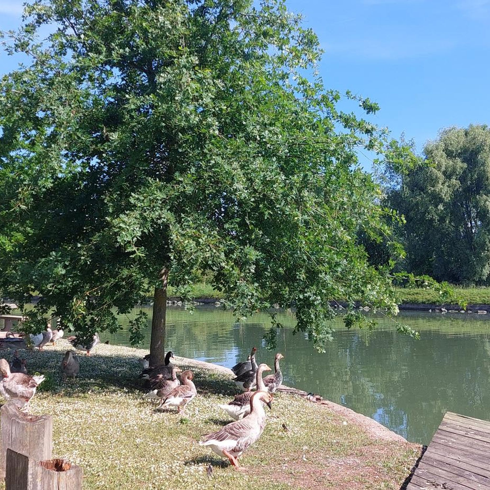

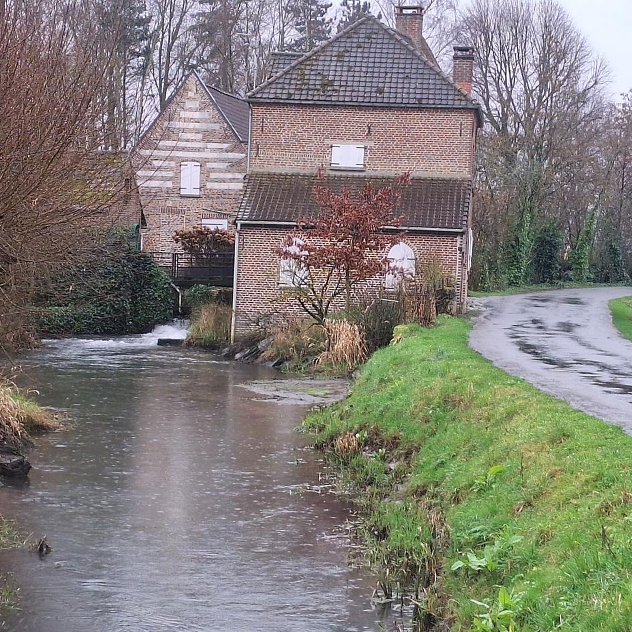

Tips from the Community


The Canche (Dutch: Kwinte) is a river in France, flowing through the Pas-de-Calais department in the Hauts-de-France region. It originates in the Ternois region, within the commune of Gouy-en-Ternois. Initially flowing southeast, it then turns northwest and, after approximately 100 kilometers, empties into the English Channel as an estuary north of Étaples and Le Touquet-Paris-Plage. Here, the Canche is strongly influenced by the tides. This results in significant fluctuations in the river's water level and the formation of extensive salt marshes.
0
0
The British military cemetery at Étaples is one of the largest British First World War cemeteries in France and is located near the town of Étaples in the Pas-de-Calais department. It contains over 11,000 Commonwealth graves from the First World War, in addition to Second World War graves and 658 German graves. The cemetery serves as a memorial to soldiers who died of their injuries or illnesses in the nearby British military hospitals and training camps.
0
0


Frequently Asked Questions
How many road cycling routes are available around Guarbecque?
There are over 240 road cycling routes available around Guarbecque, offering a wide variety of options for different skill levels and preferences.
What kind of terrain can I expect on road cycling routes near Guarbecque?
The region around Guarbecque features a landscape of gentle river valleys and agricultural plains, with occasional low hills. You'll find a mix of open country roads and routes passing through historical towns and villages. Elevations are generally modest, though some longer routes include more sustained climbs.
Are there road cycling routes suitable for beginners in Guarbecque?
Yes, Guarbecque offers plenty of options for beginners. There are 64 easy road cycling routes, perfect for those looking for a relaxed ride through the scenic plains and villages.
What about challenging road cycling routes for experienced riders?
For experienced riders seeking a challenge, there are 24 difficult road cycling routes around Guarbecque. One notable option is the Ruins of Saint-Bertin Abbey – Fresnicourt coast loop from Ham-en-Artois, which covers 115.8 km with significant elevation changes.
Are there any long-distance road cycling routes in the Guarbecque area?
Yes, you can find several long-distance routes. The Waterfall of Nave river in Bourecq – Clocher de Verchin loop from Ham-en-Artois is a popular moderate route spanning 108.5 km, and the Ruins of Saint-Bertin Abbey – Fresnicourt coast loop from Ham-en-Artois is a challenging 115.8 km ride.
Can I find loop road bike trails around Guarbecque?
Many of the road cycling routes around Guarbecque are designed as loops, allowing you to start and finish in the same location. For example, the The Old Lys – Saint-Venant Marina loop from Guarbecque is a moderate 33.6 km loop starting directly from Guarbecque.
What can I see along the road cycling routes near Guarbecque?
The routes often pass through historical towns and offer glimpses of local landmarks. You might encounter sights like the The Thiennes Bridge, the impressive Saint-Pierre Collegiate Church of Aire-sur-la-Lys, or the Moulin des Invalides.
What do other road cyclists enjoy the most about road cycling in Guarbecque?
The area is highly rated by the komoot community, with an average score of 4.5 stars from over 27 reviews. Cyclists often praise the varied terrain, from gentle river valleys to routes through charming historical villages, and the well-maintained network of roads.
Are there any routes that offer panoramic views?
Yes, some routes include ascents to prominent local hills that provide panoramic views of the surrounding countryside. The Porte d'Aire – Cassel loop from Ham-en-Artois is known for its ascents and scenic vistas.
Are there any road cycling routes that pass by historical sites?
Absolutely. Many routes in the region are rich in history. The Ruins of Saint-Bertin Abbey – Fresnicourt coast loop from Ham-en-Artois, for instance, leads through significant historical sites.
What is the best time of year for road cycling in Guarbecque?
While specific data isn't provided, northern France generally offers pleasant cycling conditions from spring through early autumn (April to October), with milder temperatures and less precipitation. Always check local weather forecasts before heading out.
Are there any routes that are particularly flat and suitable for a relaxed ride?
Yes, routes that stick to the river valleys and agricultural plains will be relatively flat. The Thr First – Béthune loop from Ham-en-Artois, a moderate 48.4 km route, has minimal elevation gain, making it a good choice for a relaxed ride.
Most popular routes around Guarbecque
Most popular attractions around Guarbecque

Get inspired with the komoot mobile app


Explore more
Browse the best Road cycling routes in other regions.
