The best walks and hikes around Thedingen
4.5
(1778)
8,116
hikers
418
hikes
Hiking around Thedingen offers access to the flat landscapes of the Wesermarsch region in Lower Saxony, Germany. The terrain is characterized by expansive meadows and the prominent Eyter and Weser rivers, providing accessible paths for various fitness levels. The region features a mix of open countryside and local forests, offering diverse natural environments for exploration.
Best hiking trails around Thedingen
- The most popular hiking route is Trail to bike path – Chemin forestier loop from Folkling, a 5.9 miles…
Last updated: September 28, 2026
5.0
(6)
24
hikers
9.62km
02:35
120m
120m
Moderate hike. Good fitness required. Easily-accessible paths. Suitable for all skill levels.
4.0
(5)
21
hikers
8.47km
02:23
180m
180m
Moderate hike. Good fitness required. Easily-accessible paths. Suitable for all skill levels.

15
hikers
6.32km
01:49
150m
150m
Easy hike. Great for any fitness level. Easily-accessible paths. Suitable for all skill levels.
5.0
(1)
7
hikers
6.08km
01:37
60m
60m
Easy hike. Great for any fitness level. Easily-accessible paths. Suitable for all skill levels.
5.0
(2)
8
hikers
10.0km
02:44
150m
150m
Moderate hike. Good fitness required. Easily-accessible paths. Suitable for all skill levels.
Get access to more routes and recommendations from other explorers.
Already have an account?
Our route recommendations are based on thousands of hikes, rides, and runs completed by other people on komoot.
Start today with a free account
Your next adventure awaits.
Tips from the Community

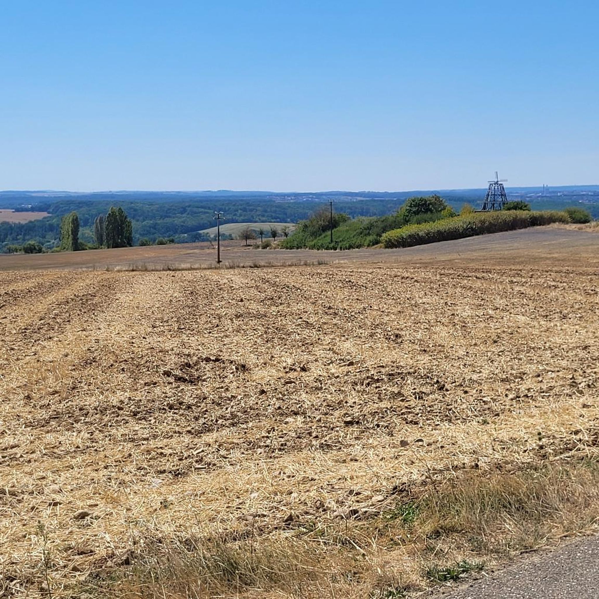
For years, there was an old building here, with a replica mill sail. But there was never a mill here. After years of vacancy, it was renovated and since March 2026, the building has housed the restaurant and brasserie Le Moulin.
1
0

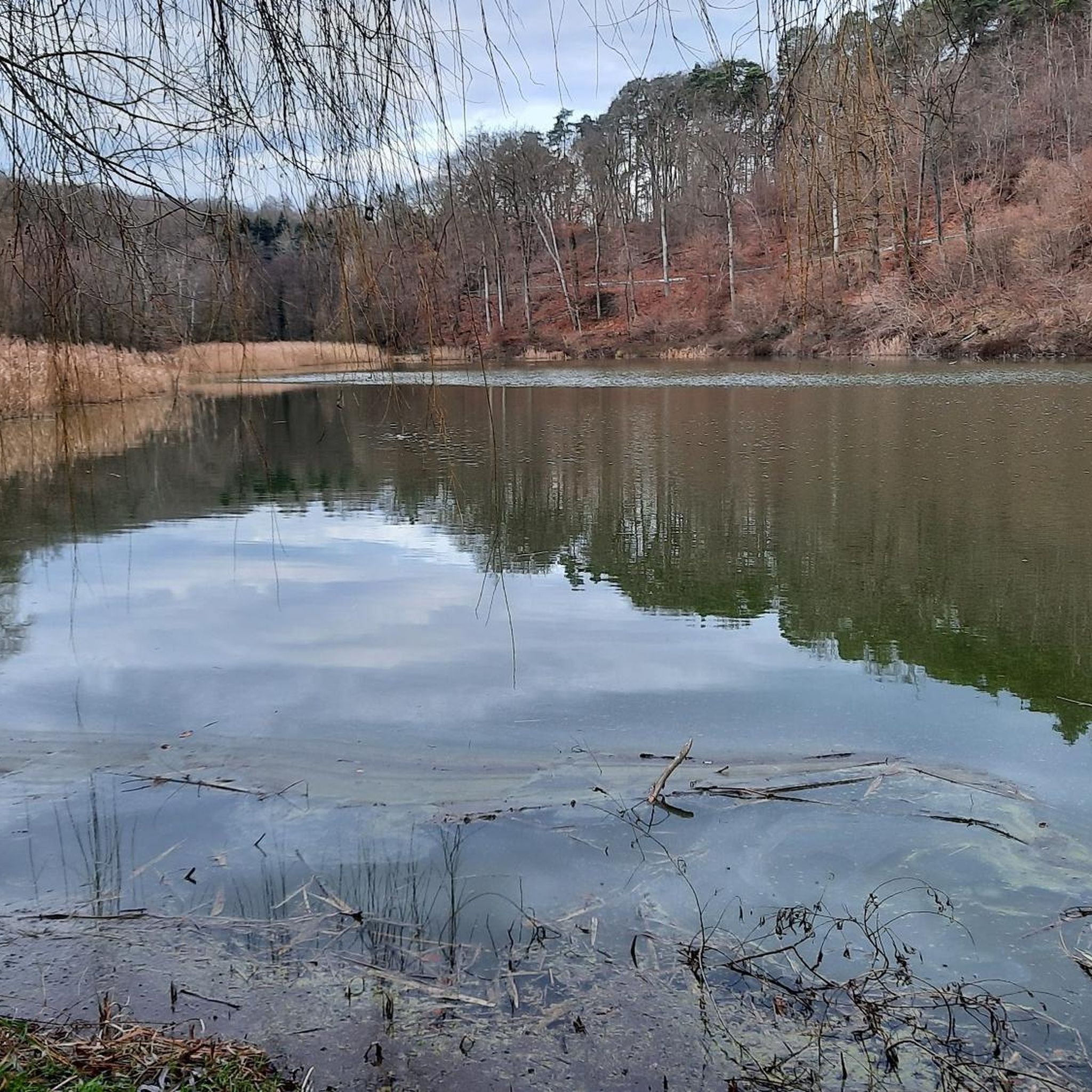
The Willenbrunnengarten pond is on private property.
0
0


The rock grotto of the Saint Helena Chapel was formerly a Celtic settlement and was used as a pilgrimage site.
2
0
The rock grotto of the St. Helena Chapel was formerly a Celtic settlement and was used as a pilgrimage site.
1
0

Nice little tour without great difficulty a lot of way in the forest
0
0

The Hérapel hill, or Mount Hérapel, is an ancient Gallo-Roman site at 329 meters above sea level. Man even settled there long before, 200,000 years ago, due to the presence of a spring where the charming Sainte-Hélène chapel is located today.
2
0

The grotto is worth a detour
2
0
Frequently Asked Questions
How many hiking trails are available around Thedingen?
There are nearly 400 hiking trails in the Thedingen area. This includes a wide variety of routes, with 198 easy trails, 192 moderate trails, and 9 more challenging options.
What kind of terrain can I expect on hikes in Thedingen?
Thedingen is characterized by its flat landscapes, expansive meadows, and the prominent Eyter and Weser rivers. You'll find many routes along these waterways, as well as paths through local forests and open countryside. The terrain is generally accessible and suitable for various fitness levels.
Are there many easy hiking trails suitable for beginners in Thedingen?
Yes, Thedingen offers a great selection of easy trails, with 198 routes classified as easy. These paths are ideal for beginners or those looking for a relaxed stroll through the scenic Wesermarsch region. An example of an easy route is the Sainte-Hélène Cave-Chapel – Hérapel Hill loop from Cocheren, which is 3.9 miles long.
Are there any circular hiking routes in Thedingen?
Many of the trails around Thedingen are designed as circular routes, allowing you to start and end at the same point. For instance, the Trail to bike path – Chemin forestier loop from Folkling is a popular circular option, covering 5.9 miles.
What are some interesting landmarks or natural features to see while hiking in Thedingen?
While hiking, you can discover several points of interest. These include the Panoramic Platform at Barrois Quarry, the unique Saar-Alpakas Farm, and historical structures like the Lock on the Saar Coal Canal. You might also encounter natural highlights such as the Rehbruchweiher lake.
Are the hiking trails in Thedingen suitable for families with children?
Given the predominantly flat terrain and numerous easy trails, many routes in Thedingen are well-suited for families. The paths along the Eyter and Weser rivers, for example, offer leisurely walks with picturesque views that can be enjoyed by all ages. Consider shorter, easy loops for younger children.
Can I bring my dog on the hiking trails in Thedingen?
Generally, dogs are welcome on most hiking trails in the Thedingen area. It's always recommended to keep your dog on a leash, especially in nature reserves or areas with livestock, and to clean up after them. The open meadows and forest paths provide ample space for you and your canine companion to enjoy.
What do other hikers enjoy most about hiking in Thedingen?
The hiking experience in Thedingen is highly rated by the komoot community, with an average score of 4.4 stars from over 1300 reviews. Hikers often praise the tranquil riverine paths, the expansive open meadows, and the well-maintained local forest trails that offer a diverse and accessible outdoor experience.
Is there public transport available to reach hiking starting points in Thedingen?
Thedingen is part of Lower Saxony's regional transport network. While specific starting points for individual trails might require local bus services or a short walk from a main stop, public transport options are available to reach the general area. It's advisable to check local bus schedules for connections to specific trailheads.
Where can I find parking for hiking trails in Thedingen?
Parking is generally available in and around Thedingen, particularly near popular starting points for trails or in the town center. Many routes will have designated parking areas nearby, especially those that begin from villages or recreational spots. Look for signs indicating 'Wanderparkplatz' (hiker's parking) or use local parking facilities.
What is the best time of year to go hiking in Thedingen?
Thedingen offers pleasant hiking experiences throughout much of the year. Spring and autumn provide mild temperatures and beautiful scenery, with blooming flowers or vibrant fall foliage. Summer is also popular, especially for walks along the rivers. Even in winter, the flat terrain can be enjoyable for crisp, clear walks, though some paths might be muddy.
Are there any cafes or pubs near the hiking trails in Thedingen?
Yes, Thedingen and its surrounding villages offer various local establishments where you can refresh yourself after a hike. You'll find cafes for a coffee and cake, and traditional pubs (Gasthäuser) for a meal or a drink. These are often located in the town centers or along popular routes, providing a welcome break.
Most popular routes around Thedingen
Most popular attractions around Thedingen

Get inspired with the komoot mobile app


Explore more
Browse the best Hikes in other regions.
