The best walks and hikes around Mulhausen
4.5
(1808)
8,125
hikers
373
hikes
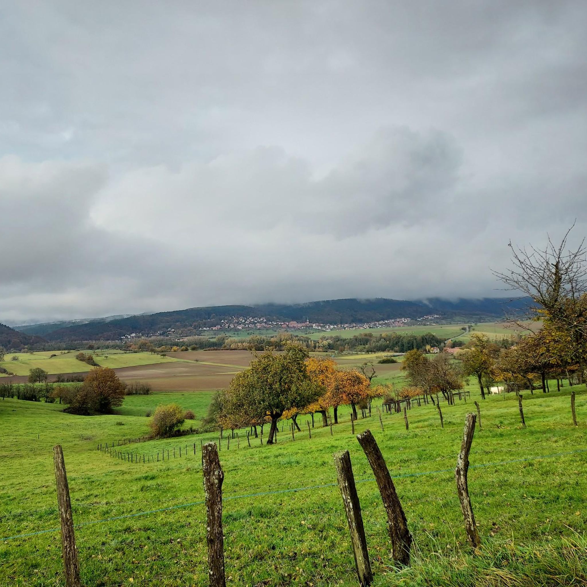
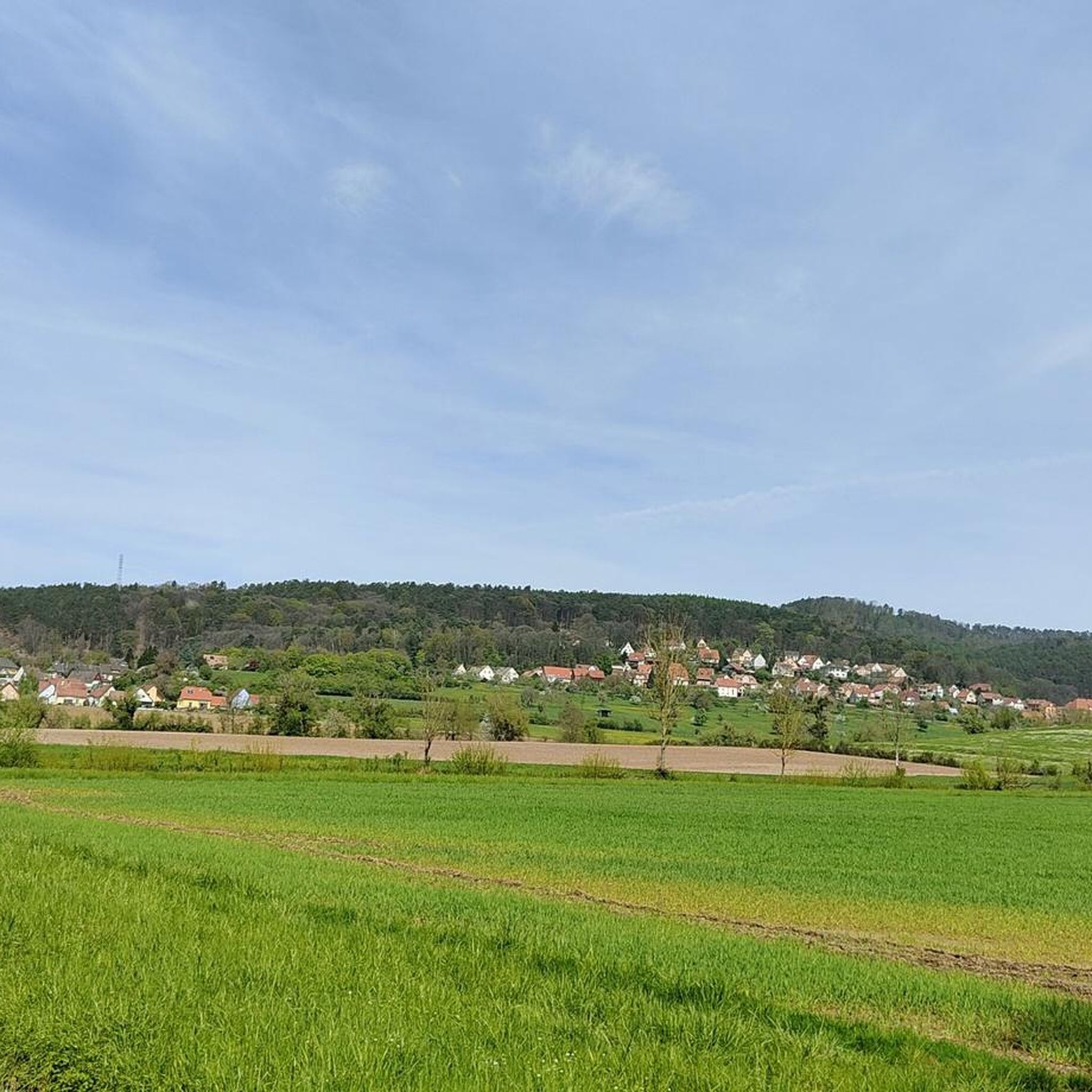
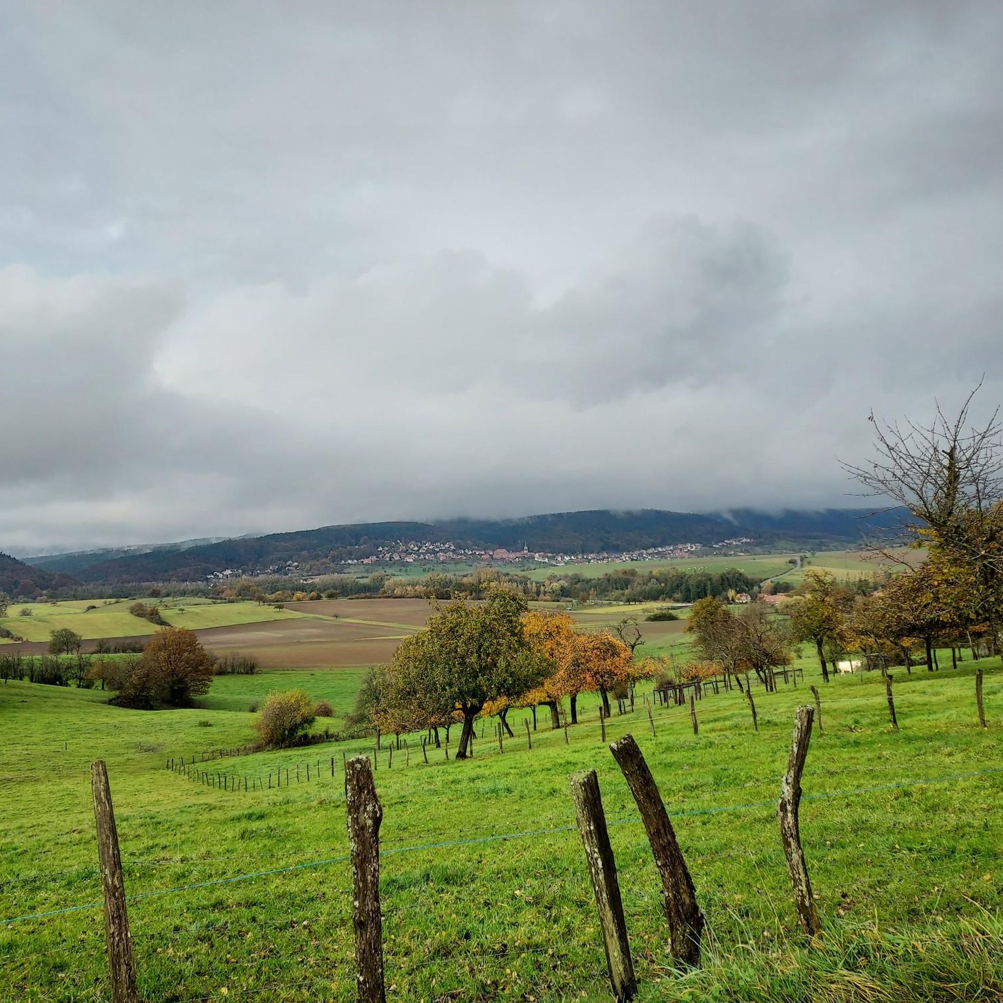
Hiking around Mulhausen offers a diverse landscape characterized by rolling hills, dense woodlands, and historic ruins. The region features varied terrain, including paths through forests and open areas, with elevations reaching over 300 meters. Many Mulhausen loop trails provide opportunities to explore the natural environment and historical sites.
Best hiking trails around Mulhausen
- The most popular hiking route is Le Schaenzel (320 m) – Lichtenberg Castle loop from Rothbach, a 7.5 miles (12.1 km) moderate trail that takes 3 hours 32 minutes to complete. This route features significant elevation gain and passes by Lichtenberg Castle.
- Another top favourite among local hikers is Frauenkirch Ruins – Ruins of Frauenkirchen loop from Offwiller, an easy 3.9 miles (6.2 km) path. This trail explores the area around historic ruins with gentle gradients.
- Local hikers also love the Lichtenberg Castle – Lichtenberg Castle loop from Rothbach, a 9.3 miles (15.0 km) trail leading through forested areas and offering views of the castle, often completed in about 4 hours 23 minutes.
- Hiking around Mulhausen is defined by its historic ruins, forested hills, and varied terrain, with options ranging from easy hiking trails near Mulhausen to more challenging moderate routes. The network offers options for different ability levels.
- The routes in Mulhausen are highly rated by the komoot community with an average score of 4.5 stars from over 1,400 reviews. More than 6,800 hikers have used komoot to explore Mulhausen's varied terrain.
Last updated: August 2, 2026
4.7
(3)
13
hikers
6.28km
01:50
160m
160m
Easy hike. Great for any fitness level. Easily-accessible paths. Suitable for all skill levels.
4.5
(4)
8
hikers
4.19km
01:17
150m
150m
Easy hike. Great for any fitness level. Easily-accessible paths. Suitable for all skill levels.

Sign up for free
5.0
(1)
13
hikers
12.5km
03:21
140m
140m
Moderate hike. Good fitness required. Easily-accessible paths. Suitable for all skill levels.
5.0
(1)
5
hikers
14.8km
04:21
400m
400m
Moderate hike. Good fitness required. Easily-accessible paths. Suitable for all skill levels.
4.3
(7)
38
hikers
9.57km
02:46
240m
240m
Moderate hike. Good fitness required. Easily-accessible paths. Suitable for all skill levels.
Get access to more routes and recommendations from other explorers.
Sign up for free
Already have an account?
Our route recommendations are based on thousands of hikes, rides, and runs completed by other people on komoot.
Start today with a free account
Your next adventure awaits.
Login or Signup


Tips from the Community

These “totems” were set up by the tourism association throughout the municipality of Niederbronn and support tourists with many requests - in addition to information about the current weather, you can also get information about various sporting or cultural activities here.
0
0
The cabin can be booked through the local CV (Catholic Association), e.g. via info@cvrothbach.com
0
0

Worth seeing castle
0
0

This shelter is located in the middle of the forest. It's open and can accommodate 8 to 10 people. There are approximately 15 spots available outside.
0
0

From there you can see Ingwiller and fantastic meadow landscapes with the Northern Vosges in the background.
0
0


Very worth seeing restored castle with fantastic panoramic views.
2
1
Frequently Asked Questions
How many hiking trails are available around Mulhausen?
There are over 340 hiking trails around Mulhausen, offering a wide range of options for different skill levels. This includes 125 easy routes, 178 moderate trails, and 39 more challenging difficult hikes.
Are there easy hiking trails suitable for beginners or families in Mulhausen?
Yes, Mulhausen offers many easy hiking trails perfect for beginners or families. For example, the Frauenkirch Ruins – Ruins of Frauenkirchen loop from Offwiller is an easy 3.9-mile (6.2 km) path that explores historic ruins with gentle gradients.
What kind of natural and historical attractions can I see along the hiking trails?
The region is rich in both natural beauty and historical sites. Hikers can explore impressive castles like Lichtenberg Castle and Grand Arnsbourg Castle, or discover ancient religious sites such as the Mercury Rock Temple. There are also scenic viewpoints like the Englishberg West Viewpoint offering panoramic views.
Are there circular hiking routes in the Mulhausen area?
Yes, many of the trails around Mulhausen are designed as circular routes, allowing you to start and end at the same point. A popular moderate option is the Le Schaenzel (320 m) – Lichtenberg Castle loop from Rothbach, which is 7.5 miles (12.1 km) long and passes by Lichtenberg Castle.
What do other hikers enjoy most about hiking in Mulhausen?
The hiking experience in Mulhausen is highly rated by the komoot community, with an average score of 4.5 stars from over 1,400 reviews. Hikers often praise the diverse landscape, which includes rolling hills, dense woodlands, and the opportunity to explore historic ruins.
Can I bring my dog on the hiking trails around Mulhausen?
Generally, dogs are welcome on most hiking trails in the Mulhausen region, especially in natural areas. It's always recommended to keep your dog on a leash, particularly in protected areas or near wildlife, and to carry waste bags.
What is the best time of year to go hiking in Mulhausen?
The best time for hiking in Mulhausen is typically from spring to autumn (April to October), when the weather is mild and the natural scenery is at its most vibrant. Spring brings blooming wildflowers, while autumn offers beautiful fall foliage. Summer is also popular, though some trails might be busier.
Are there any specific trails that offer good views of the region?
Many trails in Mulhausen offer excellent views, especially those that ascend to higher points or pass by castles. The Lichtenberg Castle – Lichtenberg Castle loop from Rothbach, for instance, leads through forested areas and provides scenic vistas of the castle and surrounding landscape.
Are there options for public transport to reach hiking trailheads in Mulhausen?
While some trailheads might be accessible by local bus services, public transport options can be limited in more rural parts of the Mulhausen region. It's advisable to check local bus schedules in advance or consider driving to reach specific starting points.
Where can I find parking for hiking trails in Mulhausen?
Parking is generally available at or near popular trailheads and villages throughout the Mulhausen area. Look for designated parking lots in towns like Rothbach or Offwiller, which serve as common starting points for many routes.
Are there any hidden gem trails or less-known spots worth exploring?
While specific 'hidden gems' are often discovered by local exploration, the region's extensive network of trails means there are always quieter paths to find. Exploring the areas around lesser-known ruins or viewpoints, such as the Cup-marked stones, can lead to unique discoveries away from the most popular routes.
What should I wear for hiking in Mulhausen?
For hiking in Mulhausen, it's recommended to wear comfortable, layered clothing suitable for varying weather conditions, as well as sturdy hiking boots. Given the region's rolling hills and woodlands, good ankle support and waterproof gear are often beneficial, especially during wetter seasons.
Most popular routes around Mulhausen
Most popular attractions around Mulhausen

Get inspired with the komoot mobile app


Explore more
Browse the best Hikes in other regions.
