The best running trails around Montmelard
4.6
(18)
648
runners
150
runs
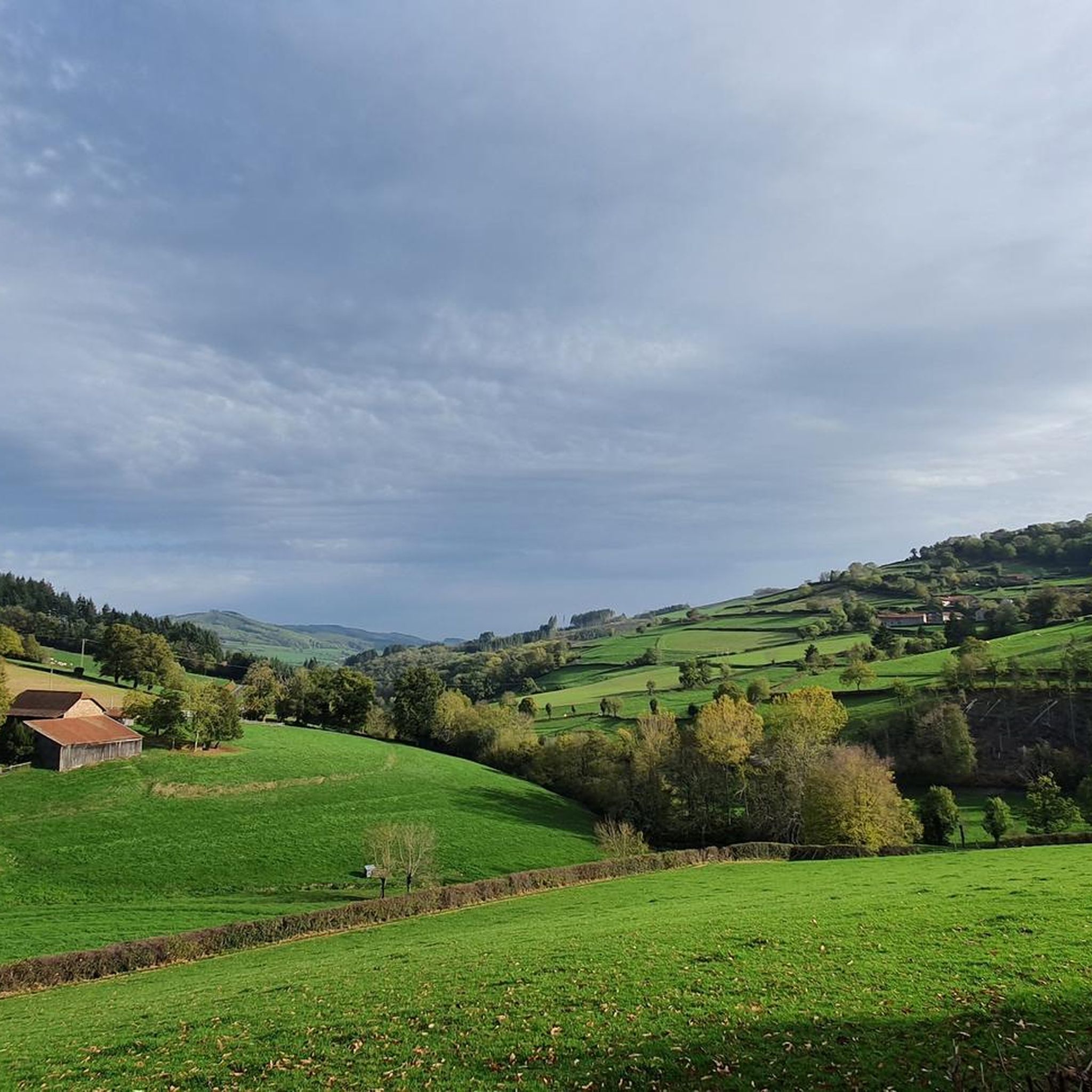
Jogging around Montmelard offers a diverse landscape for runners, characterized by rolling hills and numerous small lakes or "étangs." The region features a mix of open countryside and wooded areas, providing varied terrain for different running preferences. Elevation changes are present on many routes, offering opportunities for both steady efforts and more challenging climbs. The network of trails allows for exploration of the natural environment, including water features and rural paths.
Best jogging routes around Montmelard
- The most popular jogging…
Last updated: May 21, 2026
9
runners
10.5km
01:12
230m
230m
Moderate run. Good fitness required. Mostly paved surfaces. Suitable for all skill levels.
4.0
(1)
9
runners
14.5km
01:42
440m
440m
Hard run. Very good fitness required. Mostly paved surfaces. Suitable for all skill levels.

Sign up for free
8
runners
9.75km
01:10
190m
190m
Moderate run. Good fitness required. Mostly paved surfaces. Suitable for all skill levels.
8
runners
10.2km
01:12
180m
180m
Moderate run. Good fitness required. Mostly paved surfaces. Suitable for all skill levels.
5.0
(1)
5
runners
13.8km
01:37
290m
290m
Moderate run. Good fitness required. Mostly paved surfaces. Suitable for all skill levels.
Get access to more routes and recommendations from other explorers.
Sign up for free
Already have an account?
Our route recommendations are based on thousands of hikes, rides, and runs completed by other people on komoot.
Start today with a free account
Your next adventure awaits.
Login or Signup
Tips from the Community

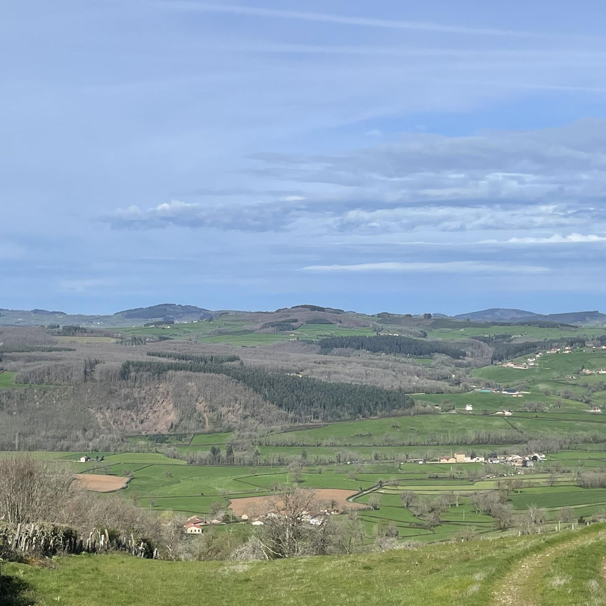
Impressive views over southern Burgundy and Haut-Beaujolais
0
0

A very steep climb from Montmelard, not much fun by bike. View is good, best very early or in the evening.
0
0

Mont Saint-Cyr, with its 771 m, is the highest point of the Mâconnais mountains. From its summit, you can enjoy a 360° view of the surroundings and even of the Alps when the weather allows it.
2
0
Mont Saint-Cyr, at 771 m, is the highest point of the Mâconnais mountains. From its summit, you can enjoy a 360° view of the surroundings and even of the Alps when the weather allows it.
3
0


It is a tough climb to the viewpoint, but the reward is a superior view on the landscape and a nice are to take a rest
1
0
Frequently Asked Questions
How many running routes are available in Montmelard?
Montmelard offers a wide selection of running routes, with over 140 trails available for exploration. These range from easy loops to more challenging long-distance runs, catering to various fitness levels.
Are there easy running trails suitable for beginners in Montmelard?
Yes, Montmelard has several easy running trails perfect for beginners. There are 8 routes specifically categorized as easy. For instance, the Étang de la Vernée loop from Dompierre-les-Ormes is a moderate 3.1-mile (5.1 km) path that is relatively flat and offers pleasant views around the lake, making it a good starting point.
Can I find long-distance running trails in Montmelard?
Absolutely. Montmelard features numerous longer routes for those seeking a challenge. Many of the 86 moderate and 54 difficult trails extend for significant distances. For example, the Montagne Saint-Cyr – Mount St. Cyr loop from Gibles is a challenging 9-mile (14.5 km) route with considerable elevation gain.
Are the running routes in Montmelard dog-friendly?
Generally, the natural trails and rural paths around Montmelard are suitable for running with dogs, provided they are kept under control. It's always recommended to check local signage for specific restrictions, especially around nature reserves or private land. Many local runners enjoy the open countryside with their canine companions.
Are there family-friendly running trails suitable for all ages?
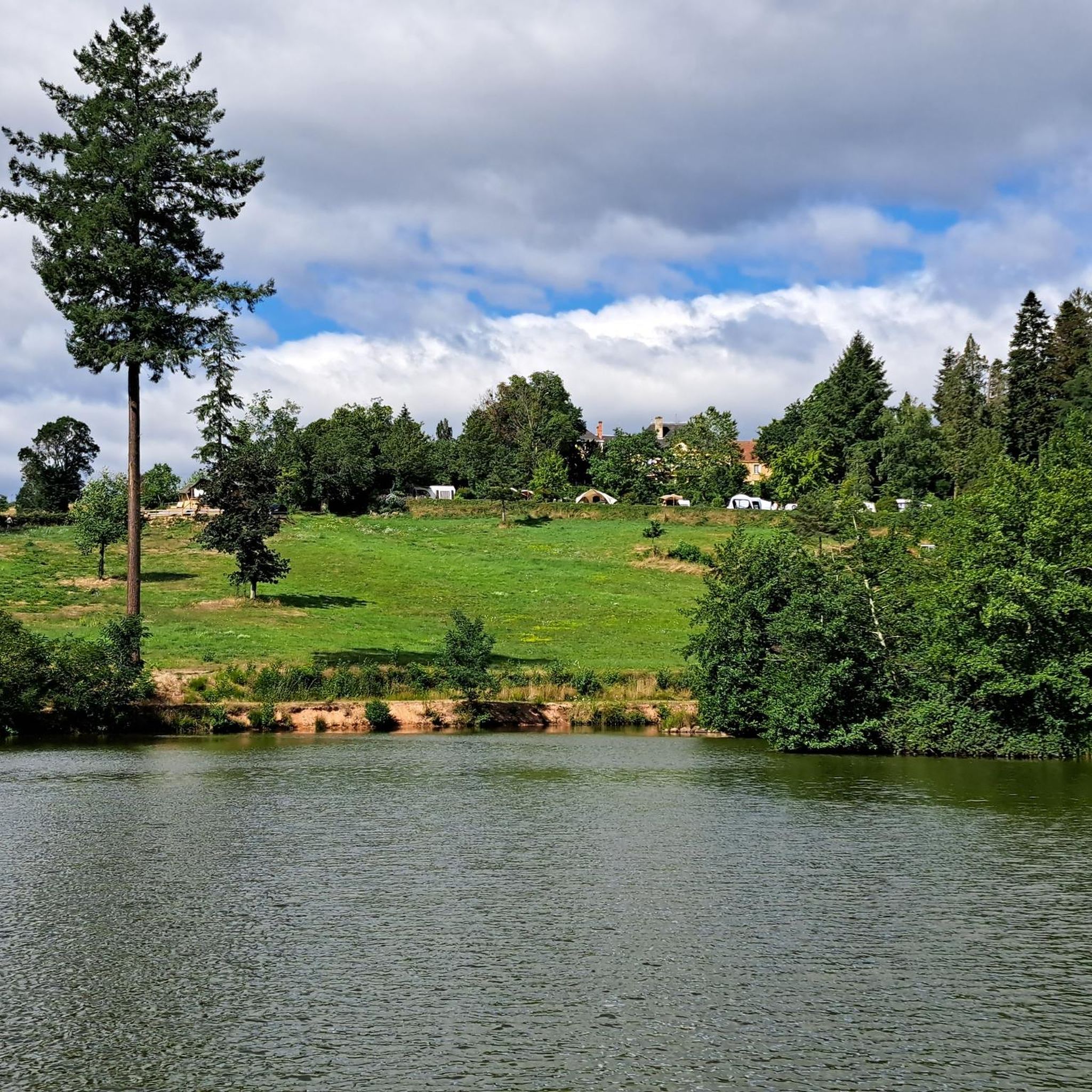
Yes, Montmelard offers several routes that are great for families. Trails around the numerous 'étangs' (small lakes) often provide flatter, more accessible terrain. The Étang de la Vernée loop from Dompierre-les-Ormes is a good example of a shorter, scenic route that families can enjoy together.
What is the best time of year to go running in Montmelard?
Spring and autumn are generally considered the best times for running in Montmelard, offering mild temperatures and beautiful scenery as the landscape changes. Summer can be pleasant, but it's advisable to run early in the morning or late in the afternoon to avoid the midday heat. Winter running is also possible, though some trails might be muddy or require appropriate gear.
Are most running routes in Montmelard circular?
Many of the popular running routes in Montmelard are indeed circular, allowing you to start and finish at the same point without needing to retrace your steps. This is convenient for exploring the diverse landscape of rolling hills, lakes, and wooded areas. Examples include the Running loop from Gibles and the Étang des Clefs loop from Gibles.
What can I see along the running routes in Montmelard?
The running routes in Montmelard offer a mix of natural beauty and historical sights. You can enjoy views of tranquil lakes like Étang des Clefs and Étang de la Vernée, explore wooded sections, and traverse rolling hills. Notable landmarks in the wider region include Mount Dun, Mount St. Cyr, and the historic Château de La Clayette.
What do other runners say about the trails in Montmelard?
The running trails in Montmelard are highly regarded by the komoot community, boasting an average rating of 4.5 stars from over 20 reviews. Runners frequently praise the varied terrain, the peaceful atmosphere of the countryside, and the scenic beauty of the lakes and woodlands.
Are there challenging running routes for experienced runners?
Yes, Montmelard offers plenty of challenging options for experienced runners. With 54 routes classified as difficult, you'll find trails with significant elevation changes and longer distances. The Montagne Saint-Cyr – Mount St. Cyr loop from Gibles, for instance, is a demanding route with over 400 meters of ascent.
Where can I find parking near the running routes?
Parking is generally available in or near the villages that serve as starting points for many routes, such as Gibles or Dompierre-les-Ormes. Look for designated parking areas in village centers or near popular trailheads. It's always a good idea to check specific route descriptions on komoot for detailed parking information.
Is Montmelard accessible by public transport for runners?
While Montmelard is primarily a rural area, some public transport options might connect to larger towns nearby. However, for direct access to many trailheads, personal transport is often the most convenient option. It's recommended to check local bus schedules or regional train services if you plan to rely on public transport.
Most popular attractions around Montmelard

Get inspired with the komoot mobile app


Explore more
Browse the best Running Trails & Routes in other regions.
