The best walks and hikes around Labeuvrière
4.5
(805)
4,393
hikers
390
hikes
Hiking around Labeuvrière offers routes through a landscape characterized by woodlands, marshlands, and former mining hills known as terrils. The region provides varied terrain, from gentle paths through forested areas to routes exploring local waterways and historical industrial features. Elevations are generally modest, with most trails featuring gradual ascents and descents.
Best hiking trails around Labeuvrière
- The most popular hiking route is Bois de Dames et terrils n°5 et 12 — boucle depuis Bruay-la-Buissière, a 4.9 miles (7.9 km)…
Last updated: May 21, 2026
4.2
(6)
20
hikers
7.89km
02:08
110m
110m
Moderate hike. Good fitness required. Easily-accessible paths. Suitable for all skill levels.
4.7
(74)
115
hikers
11.7km
03:00
50m
50m
Moderate hike. Good fitness required. Easily-accessible paths. Suitable for all skill levels.

Sign up for free
4.4
(12)
79
hikers
8.95km
02:23
90m
90m
Moderate hike. Good fitness required. Easily-accessible paths. Suitable for all skill levels.
4.3
(15)
62
hikers
26.9km
07:07
250m
250m
Hard hike. Very good fitness required. Easily-accessible paths. Suitable for all skill levels.
4.7
(6)
63
hikers
5.41km
01:27
70m
70m
Easy hike. Great for any fitness level. Easily-accessible paths. Suitable for all skill levels.
Get access to more routes and recommendations from other explorers.
Sign up for free
Already have an account?
Our route recommendations are based on thousands of hikes, rides, and runs completed by other people on komoot.
Start today with a free account
Your next adventure awaits.
Login or Signup
Tips from the Community

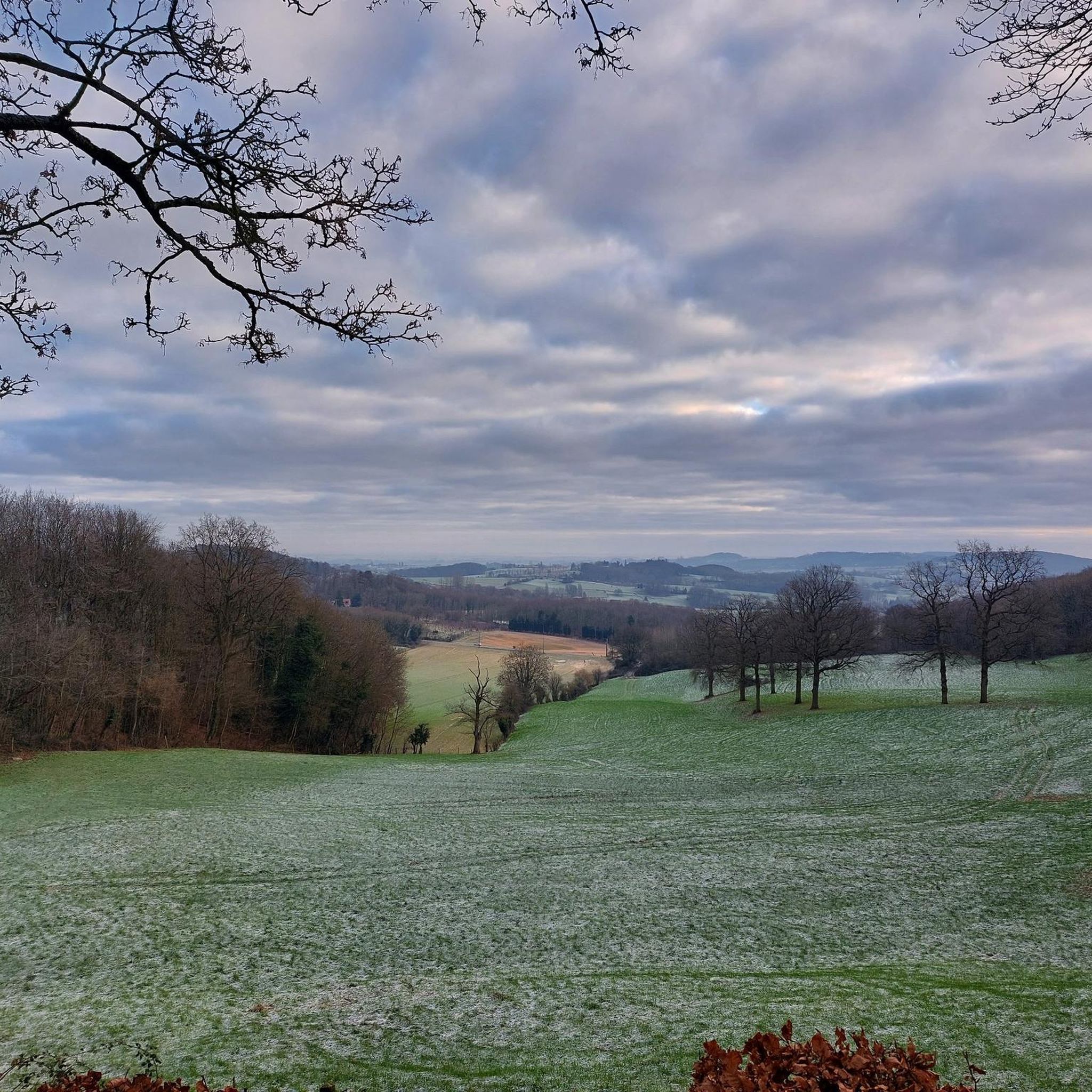
view of Béthune from the Fouquereuil spoil heap
0
0
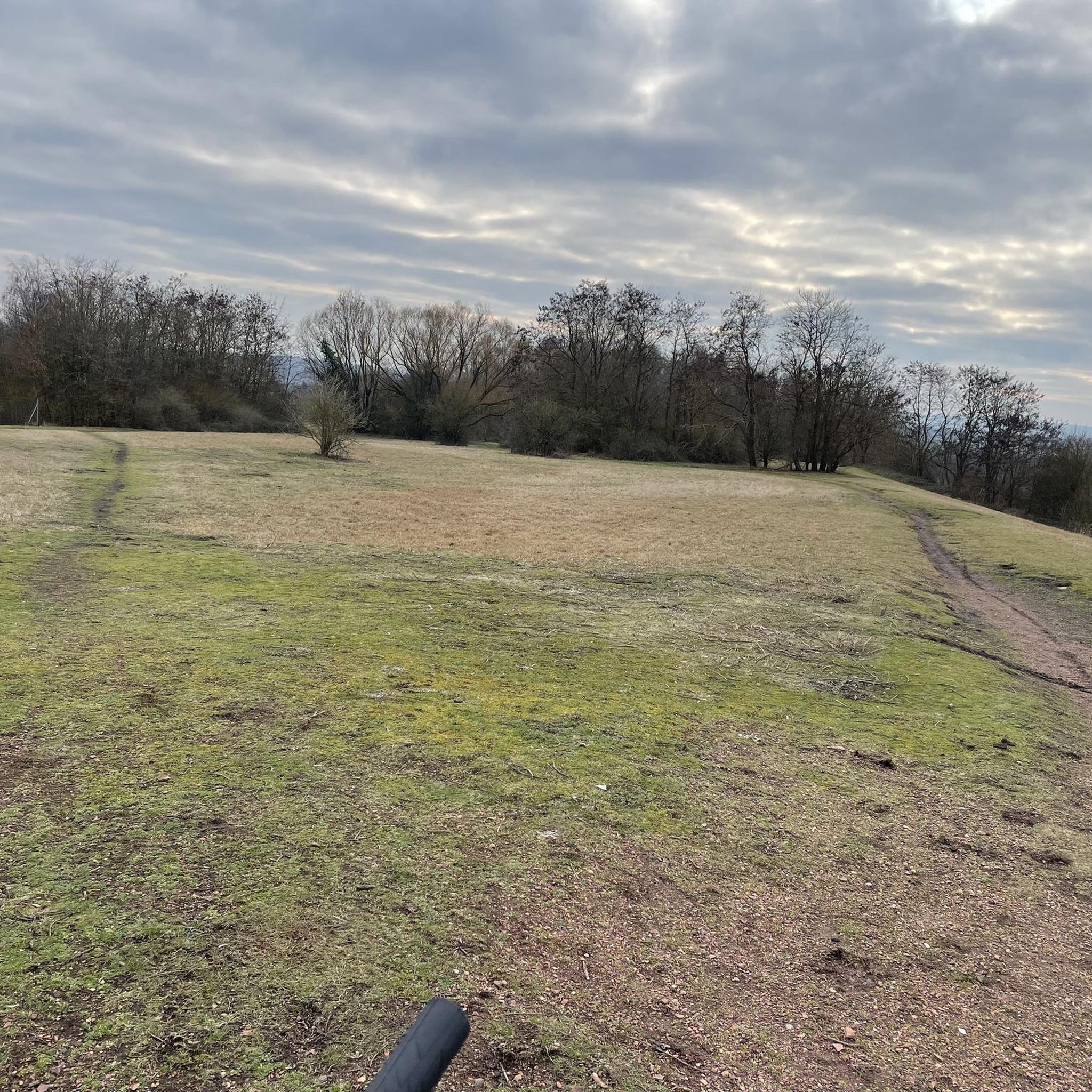
Also known as "terril de la cuisse maraine" (the slag heap of the thigh maraine), a slag heap where nature has reclaimed its rights, dotted with small paths.
0
0
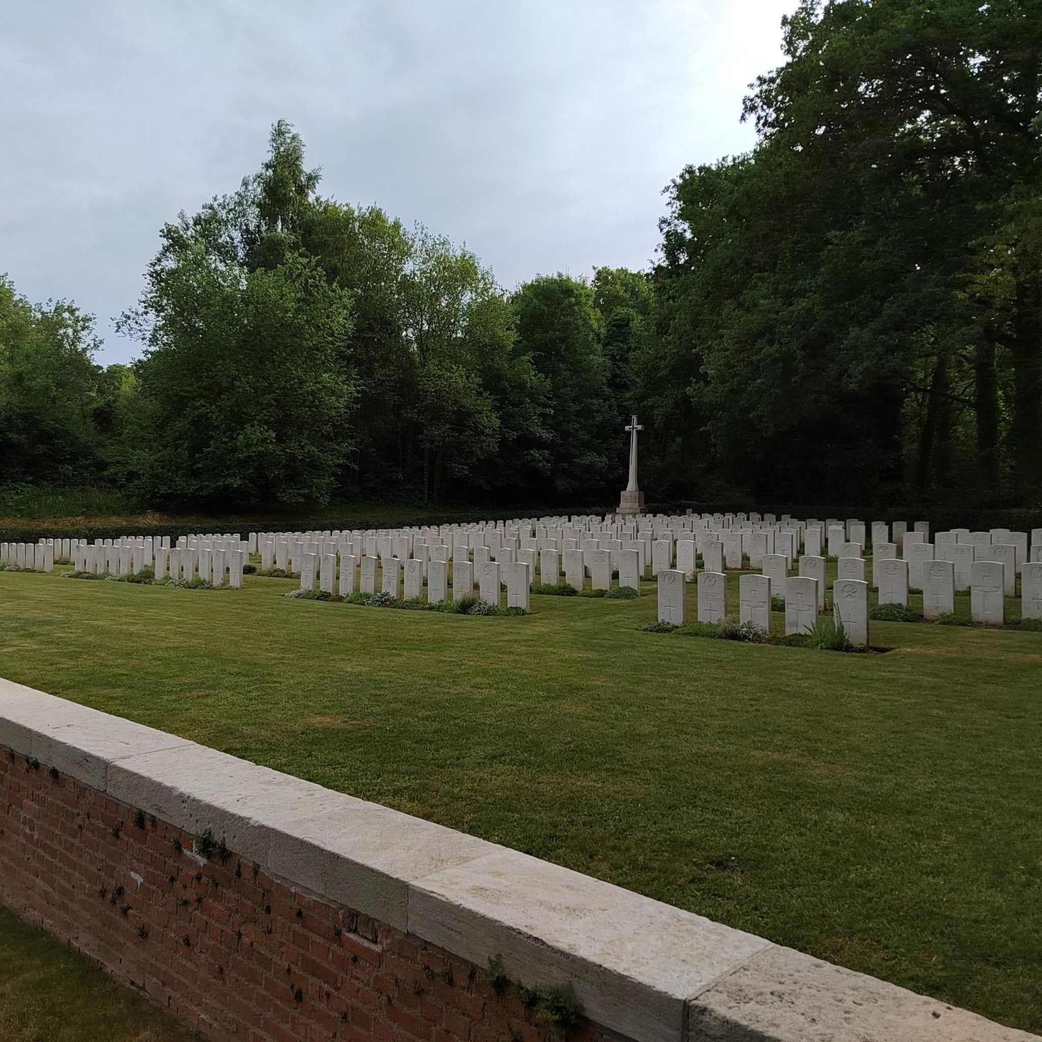
Very pretty chapel in the Lapugnoy cemetery
0
0
Just before entering the Roquelaure woods
0
0

Magnificent, unspoiled natural setting, ideal for walks and hikes. Departure from the "cuisse maraune" (Maraune thigh) to the Chartreuses de Gosnay and the Bois des Dames de Bruay-la-Buissière. Open year-round. Fishing and hiking. Free access.
0
0

Terril nice is not too fat, especially at the moment :)
0
0

Very good place with great paths
0
0

Slag heap number 5 in Lapugnoy, a vestige of the mining era in northern France, today offers a unique view of the surrounding landscapes. Covered with vegetation, this slag heap, once a symbol of industrial labour, has become a popular walking spot for hikers and nature lovers. Climbing its slopes, you will discover a striking panorama of the surrounding plains and forests.
0
0
Frequently Asked Questions
How many hiking trails are available around Labeuvrière?
There are over 380 hiking routes in the Labeuvrière area. These trails explore diverse landscapes including woodlands, marshlands, and former mining hills, offering options for various skill levels.
Are there easy hiking routes suitable for beginners or families in Labeuvrière?
Yes, Labeuvrière offers a good selection of easy trails. With 166 routes classified as easy, you'll find gentle paths perfect for beginners or family outings. An example is the Chapelle du Hays – Bois de Roquelaure loop from Lapugnoy, which is 3.4 miles (5.4 km) long and takes about 1 hour 27 minutes.
What kind of terrain can I expect on hikes around Labeuvrière?
The hiking terrain around Labeuvrière is quite varied. You can expect to encounter paths through dense woodlands, explore tranquil marshlands, and ascend former mining hills known as terrils. Most trails feature gradual ascents and descents, making them accessible for a range of hikers.
Are there any circular hiking routes in the Labeuvrière area?
Yes, many of the trails around Labeuvrière are circular, allowing you to start and end your hike at the same point. For instance, the Chapelle du Hays – Bois de Roquelaure loop from Lapugnoy is a popular easy circular option.
What are some interesting natural or historical sights to see along the trails?
Labeuvrière's trails often lead to interesting sights. You can explore former mining hills like Terril Number 5 of Lapugnoy or visit natural areas such as Lac de Beugin. Other points of interest include Olhain Castle and The belvedere at Olhain Park.
Are there any challenging or difficult hikes for experienced hikers?
While most routes are easy to moderate, there are 17 difficult trails for those seeking a challenge. An example is the Bois de Roquelaure – Terril Number 5 of Lapugnoy loop from Fouquereuil, a demanding 16.7 miles (26.9 km) route with significant elevation gain, typically taking over 7 hours to complete.
What is the best time of year to go hiking in Labeuvrière?
The best time for hiking in Labeuvrière is generally from spring through autumn (April to October). During these months, the weather is milder, and the natural landscapes, including woodlands and marshlands, are at their most vibrant. Winter hikes are possible, but trails can be muddy or icy, requiring appropriate gear.
Are the hiking trails around Labeuvrière dog-friendly?
Many trails in the Labeuvrière region are suitable for dogs, especially those through woodlands and open countryside. It's always advisable to keep your dog on a leash, particularly in areas with wildlife or near agricultural land, and to check local signage for any specific restrictions.
What do other hikers say about the trails in Labeuvrière?
The hiking trails in Labeuvrière are highly regarded by the komoot community, with an average rating of 4.5 out of 5 stars from over 700 reviews. Hikers often praise the diverse scenery, from peaceful woodlands to unique mining hills, and the well-maintained paths.
Are there options for longer hikes in the Labeuvrière area?
Yes, if you're looking for longer excursions, Labeuvrière offers several options. For example, the Bois de Roquelaure – Terril Number 5 of Lapugnoy loop from Fouquereuil is a challenging 16.7 miles (26.9 km) route that provides an extensive day out in nature.
Is there parking available at the trailheads in Labeuvrière?
Many popular trailheads and starting points for hikes around Labeuvrière, especially those near villages or natural parks, typically offer designated parking areas. It's recommended to check the specific route details on komoot for information on parking availability at your chosen starting point.
Most popular routes around Labeuvrière
Most popular attractions around Labeuvrière

Get inspired with the komoot mobile app


Explore more
Browse the best Hikes in other regions.
