The best walks and hikes around Saint-Léger-En-Yvelines
4.6
(175)
811
hikers
62
hikes
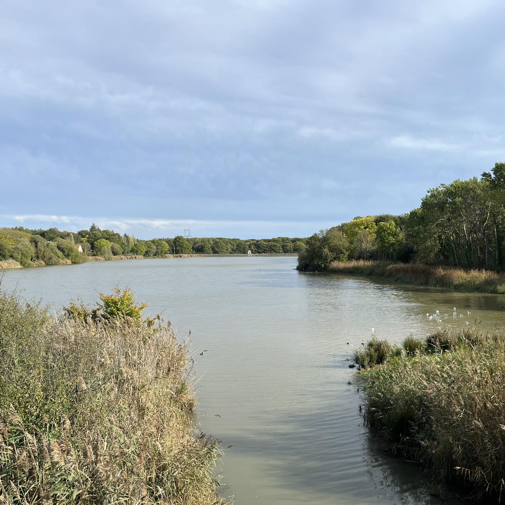
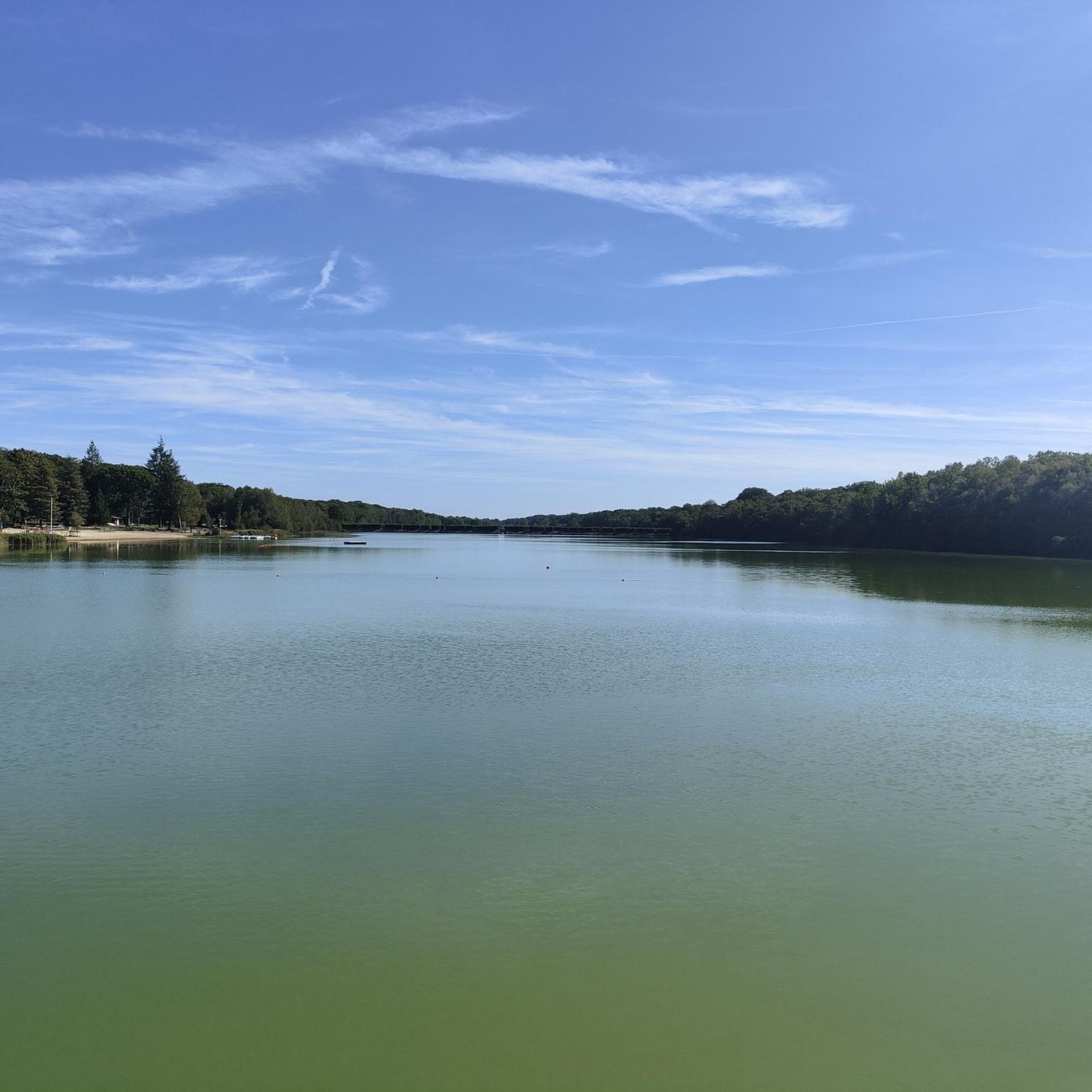
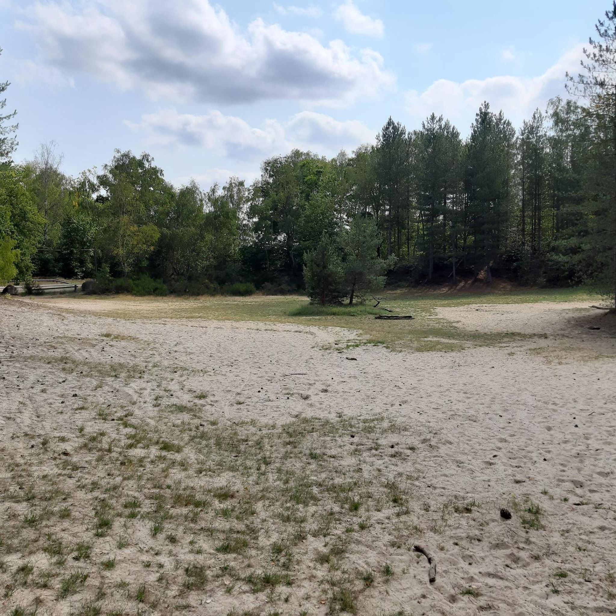
Hiking around Saint-Léger-En-Yvelines offers access to the diverse landscapes of the Rambouillet Forest in the Yvelines department. The region is characterized by extensive woodlands, numerous ponds, and varied terrain suitable for outdoor activities. Trails often feature a mix of forest paths, open areas, and historical elements.
Best hiking trails around Saint-Léger-En-Yvelines
- The most popular hiking route is Rompu Pond – Ascension Oak loop from Réserve biologique dirigée du Parc d'en Haut, a 9.3 miles (15.0 km) trail that takes 4 hours 0 minutes to complete. This moderate route explores the forest and features the Rompu Pond.
- Another top favourite among local hikers is Rompu Pond – Ascension Oak loop from Forest of Rambouillet, a moderate 5.0 miles (8.0 km) path. This trail offers a shorter exploration of the forest's natural features, including the Rompu Pond.
- Local hikers also love the Pierre Ardoue Dolmen – Ascension Oak loop from Réserve biologique dirigée de Petit Produit Nord, a 6.0 miles (9.7 km) trail leading through the Rambouillet Forest to a Neolithic dolmen, often completed in about 2 hours 35 minutes.
- Hiking around Saint-Léger-En-Yvelines is defined by dense woodlands, tranquil ponds, and historical landmarks within the Rambouillet Forest. The network offers options for different ability levels, from easy walks to more challenging routes.
- The routes in Saint-Léger-En-Yvelines are highly rated by the komoot community with an average score of 4.6 stars from over 200 reviews. Nearly 1000 hikers have used komoot to explore Saint-Léger-En-Yvelines's varied terrain.
Last updated: July 15, 2026
5.0
(19)
68
hikers
Moderate hike. Good fitness required. Mostly accessible paths. Sure-footedness required.
4.7
(12)
36
hikers
8.35km
02:11
70m
70m
Moderate hike. Good fitness required. Easily-accessible paths. Suitable for all skill levels.

Sign up for free
5.0
(6)
43
hikers
Moderate hike. Good fitness required. Easily-accessible paths. Suitable for all skill levels.
4.8
(5)
18
hikers
Moderate hike. Good fitness required. Easily-accessible paths. Suitable for all skill levels.
4.5
(4)
30
hikers
21.9km
05:49
190m
200m
Hard hike. Very good fitness required. Mostly accessible paths. Sure-footedness required.
Get access to more routes and recommendations from other explorers.
Sign up for free
Already have an account?
Our route recommendations are based on thousands of hikes, rides, and runs completed by other people on komoot.
Start today with a free account
Your next adventure awaits.
Login or Signup

Tips from the Community


Pretty little spring in the middle of the woods. We can see the fountain with its small basin, and right next to it the old watering hole for the animals.
0
0
A pretty passage along the side of the hill.
0
0

very nice hike in the woods with some stone bridges to discover
0
0

Head to Pont de Gambaiseuil on Route du Bocquet and discover this rugged trail near Gambaiseuil offering a mix of forest trails and technical sections that will test your skills. As you cross the bridge, take the time to appreciate the serenity of the surrounding woods and the gentle flow of the river below. It’s the perfect spot for a quick break before diving back into the dense forest trails that make this hike so rewarding.
0
0

Celtic Gaul left to the northwest of Saint-Léger the largest known dolmen in the Paris region. Measuring approximately six cubic meters and between fifteen and twenty tonnes, it is known as the Ardoue stone or Ardroue and is located in the ancient carnute forest.
0
0
Remarkable classified tree *** Pedunculate sessile oak with a height of 26m and a diameter of 1.55m.
0
0
This “Muette cistern” supplied water to the castle of Robert the Pious (11th century), located 2km away. Access to it is prohibited.
0
0
Frequently Asked Questions
How many hiking trails are available around Saint-Léger-en-Yvelines?
The Saint-Léger-en-Yvelines area, nestled within the Rambouillet Forest, offers a wide variety of hiking opportunities. There are over 60 routes available, catering to different skill levels, from easy strolls to more challenging treks.
Are there easy or family-friendly hiking options in the area?
Yes, Saint-Léger-en-Yvelines provides numerous easy and family-friendly trails. About a third of the routes are rated as easy, perfect for a relaxed outing. The region research mentions the Gruyer Pond Trail as particularly family-friendly. Many trails around the various ponds also offer gentle terrain suitable for all ages.
Can I bring my dog on the hiking trails near Saint-Léger-en-Yvelines?
The Rambouillet Forest, which surrounds Saint-Léger-en-Yvelines, is generally dog-friendly. However, it's always recommended to keep your dog on a leash, especially in areas where wildlife is present or near protected natural zones, to ensure their safety and respect for the environment.
What kind of natural features can I expect to see while hiking?
Hiking around Saint-Léger-en-Yvelines immerses you in the diverse landscapes of the Rambouillet Forest. You'll encounter extensive woodlands, often with ferns and heather-lined paths. A significant highlight is the presence of numerous ponds and wetlands, such as Rompu Pond, Gruyer Pond, and the historic Etangs de Hollande, which were created to supply water to Versailles. The Vaux-de-Cernay valley also features picturesque ponds and small waterfalls.
Are there any historical landmarks or points of interest along the trails?
Yes, the region blends natural beauty with historical intrigue. You can explore trails leading to the Neolithic Pierre Ardoue Dolmen. Other historical sites include the remains of the former Moulineaux Abbey and the 11th-century Church of Saint-Jean-Baptiste in Saint-Léger-en-Yvelines. The grand Château de Rambouillet, with its extensive gardens, is also nearby for a cultural visit.
Are there many circular hiking routes available?
Yes, many of the trails around Saint-Léger-en-Yvelines are designed as circular routes, allowing you to start and end your hike at the same point. Examples include the Rompu Pond – Ascension Oak loop and the Pierre Ardoue Dolmen – Carrefour du Haut Planet loop, making planning your day easier.
What is the best time of year to go hiking in Saint-Léger-en-Yvelines?
The Rambouillet Forest is beautiful year-round. Spring brings lush greenery and blooming flora, while autumn offers stunning foliage and opportunities to spot mushrooms. Summer is ideal for enjoying the ponds and shaded forest paths. Even winter can be magical, with crisp air and serene landscapes, though some paths might be muddy or icy.
How can I get to the trailheads using public transport?
Saint-Léger-en-Yvelines is accessible by public transport, making it possible to reach various trailheads. The town has a train station (Transilien N line from Paris Montparnasse), and local bus services connect to surrounding areas. It's advisable to check current schedules and routes for specific trail access points.
Is parking available near the hiking trails?
Yes, parking is generally available at popular starting points for trails within the Rambouillet Forest and near the various ponds. Specific parking information can often be found on detailed route descriptions or local tourism websites. For more information on the area, you can visit Rambouillet Tourisme.
What do other hikers say about the trails in Saint-Léger-en-Yvelines?
The hiking trails in Saint-Léger-en-Yvelines are highly regarded by the komoot community, with an average rating of 4.6 stars from over 200 reviews. Hikers often praise the quiet woodlands, the beauty of the numerous ponds, and the well-maintained paths that offer a refreshing escape into nature.
Are there opportunities for wildlife spotting?
The Rambouillet Forest is home to diverse wildlife. Hikers often report seeing deer, wild boar, and various bird species. The numerous ponds and wetlands, such as the Guiperreux Toad Crossing, are particularly good spots for birdwatching and observing aquatic life. Early mornings or late afternoons are often the best times for wildlife encounters.
Are there any challenging hikes for experienced trekkers?
While many trails are moderate, the region does offer options for more experienced hikers. The Rambouillet Forest includes sections of the
Most popular routes around Saint-Léger-En-Yvelines
Most popular attractions around Saint-Léger-En-Yvelines

Get inspired with the komoot mobile app


Explore more
Browse the best Hikes in other regions.
