The best running trails around Paslières
4.2
(16)
432
runners
29
runs
Jogging routes around Paslières offer a diverse range of landscapes, from majestic forests to the rounded forms of the Auvergne volcanoes. The region features varied terrain, including mostly paved surfaces and more challenging routes with significant elevation gains. Runners can explore a blend of prairies, groves, and forests, providing an abundance of fresh air and natural beauty. This area provides numerous running paths suitable for various fitness levels.
Best jogging routes around Paslières
- The most popular jogging route is Running…
Last updated: November 2, 2026
8
runners
7.93km
00:51
120m
120m
Moderate run. Good fitness required. Mostly paved surfaces.
7
runners
21.3km
02:41
650m
650m
Hard run. Very good fitness required. Mostly paved surfaces.

7
runners
8.30km
00:52
90m
90m
Moderate run. Good fitness required. Mostly paved surfaces.
3
runners
6.73km
00:42
70m
70m
Moderate run. Good fitness required. Mostly paved surfaces.
7
runners
15.5km
01:39
190m
190m
Hard run. Very good fitness required. Mostly paved surfaces.
Get access to more routes and recommendations from other explorers.
Already have an account?
Our route recommendations are based on thousands of hikes, rides, and runs completed by other people on komoot.
Start today with a free account
Your next adventure awaits.


Frequently Asked Questions
How many running routes are available around Paslières?
There are over 20 running routes around Paslières, offering a diverse range of landscapes and challenges for joggers of all levels. The komoot community has explored these trails more than 300 times.
What kind of terrain can I expect on the jogging trails in Paslières?
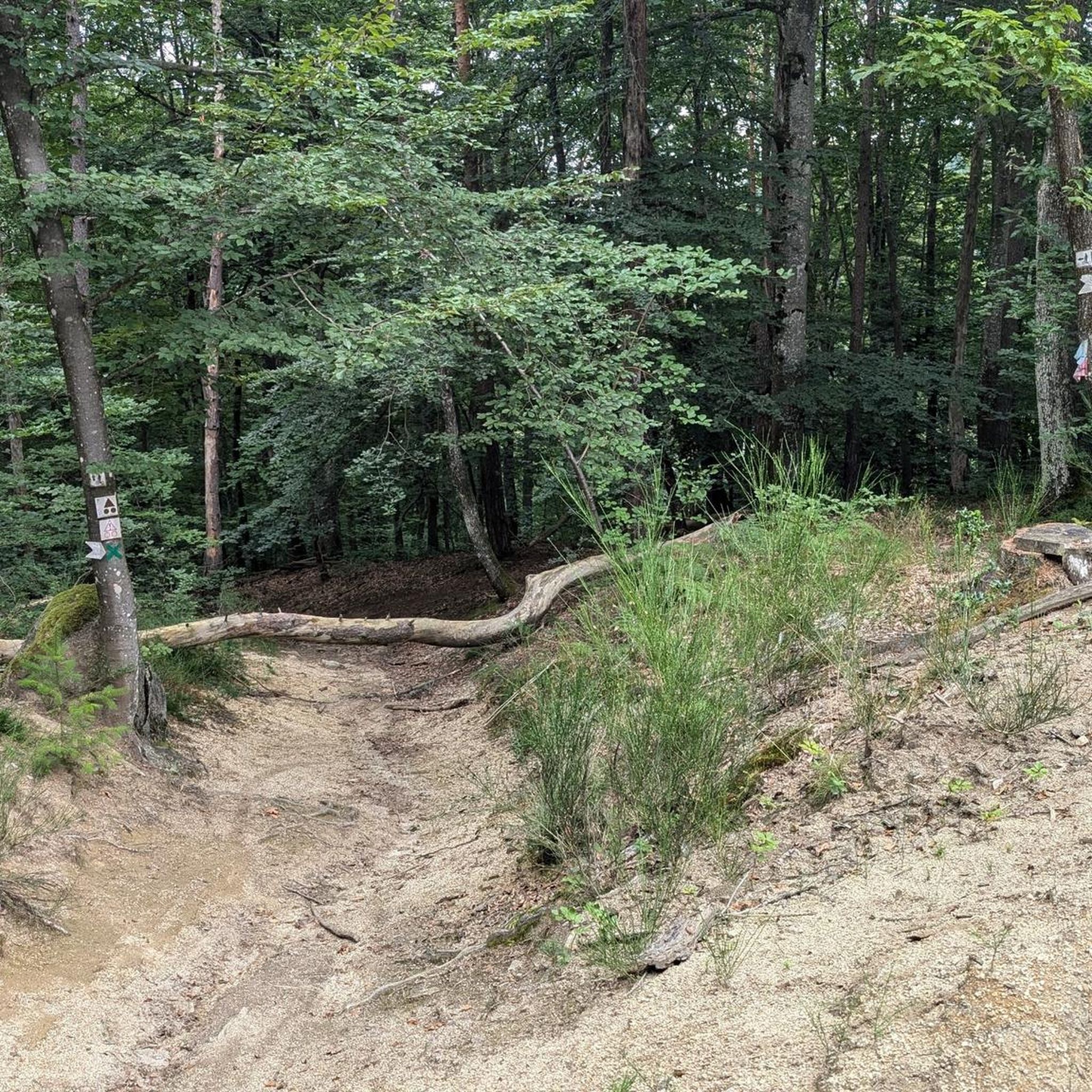
The jogging trails in Paslières feature varied terrain, including mostly paved surfaces, but also more challenging routes with significant elevation gains. You'll run through majestic forests, prairies, groves, and experience the rounded forms of the Auvergne volcanoes.
Are there any challenging running routes for experienced joggers?
Yes, Paslières offers several challenging routes for experienced runners. For instance, the Running loop from Paslières is a difficult 21.3 km path with a substantial elevation gain of 654 meters, perfect for those seeking a demanding workout.
Can I find circular jogging routes in Paslières?
Absolutely! Many of the running paths around Paslières are circular, allowing you to start and finish at the same point. An example is the The Little Dalago loop from Paslières, an 8.3 km trail that takes about 52 minutes to complete.
What are some scenic viewpoints or natural attractions I can see while running?
While jogging, you can enjoy stunning views of the Auvergne volcanoes, including Puy-de-Dôme, Monts Dore, and Puy-de-Sancy, especially from higher points like Puy de Montoncel. You might also encounter the Creux de Saillant Waterfall or enjoy panoramic views from Panorama of Rez de Sol.
Are there any longer running routes for endurance training?
For endurance training, consider routes like the Vallée des Rouets – Vallée des Rouets loop from Paslières. This difficult route spans nearly 30 km with an elevation gain of 784 meters, offering a significant challenge for long-distance runners.
What do other runners say about the trails in Paslières?
The running routes in Paslières are highly rated by the komoot community, with an average score of 4.2 stars from more than 10 reviews. Runners often praise the diverse landscapes, from majestic forests to the views of the Auvergne volcanoes, and the variety of options for different fitness levels.
Are there any moderate running options for a good workout without extreme difficulty?
Yes, there are plenty of moderate running options. The Running loop from La Chauprillade is a popular moderate trail, covering 7.9 km with a gentle ascent of 119 meters, typically completed in about 51 minutes.
Can I find routes that offer views of local landmarks or historical sites?
Yes, some routes incorporate views of local landmarks. While running, you might pass by areas offering glimpses of historic sites like the Usine du Creux, Vallée des Usines, Thiers or the Rouets Valley, adding a cultural element to your run.
What is the typical length and duration of running routes in the area?
The running routes around Paslières vary significantly in length and duration. You can find shorter loops like the 8.3 km The Little Dalago loop from Paslières, which takes about 52 minutes, to much longer and more challenging runs such as the 21.3 km Running loop from Paslières, which can take over 2.5 hours.
Are there any routes that provide panoramic views of the region?
For panoramic views, consider routes that ascend to higher elevations. The View of the pyramid loop from Paslières, a 15.5 km difficult route, offers excellent opportunities to take in the expansive landscapes of the region, including the surrounding Auvergne volcanoes.
Most popular attractions around Paslières

Get inspired with the komoot mobile app


Explore more
Browse the best Running Trails & Routes in other regions.
