The best road cycling routes around Sains-En-Gohelle
4.3
(212)
8,240
riders
544
rides
Road cycling routes around Sains-En-Gohelle traverse a landscape shaped by reclaimed industrial features and diverse natural parks. The region is characterized by former mining slag heaps, known as "terrils," which offer unique backdrops and challenging climbs. Cyclists can also explore the varied terrain of the Parc Naturel Régional Scarpe-Escaut, featuring river valleys, forests, and agricultural areas. A developing network of cycling paths, including the Véloroute du Bassin Minier, provides dedicated routes for road cyclists.
Best road cycling routes around Sains-En-Gohelle
- The most popular road cycling route is Fresnicourt coast – Côte de l'Antenne de Bouvigny loop from Mazingarbe, a 62.4 miles (100.5 km) trail that takes 4 hours 17 minutes to complete. This moderate route features significant elevation gain.
- Another top favourite among local road cyclists is Abbey of Mont Saint-Éloi – Ruins of Mont-Saint-Eloi Abbey loop from Mazingarbe, a moderate 60.2 miles (96.9 km) path. This route explores historical landmarks and varied terrain.
- Local road cyclists also love the Mount Kokereel – Mont Noir (West) loop from Mazingarbe, a 60.1 miles (96.8 km) trail leading through local hills and countryside, often completed in about 3 hours 52 minutes.
- Road cycling around Sains-En-Gohelle is defined by reclaimed industrial landscapes, river valleys, and natural parkland. The network offers options for different ability levels, from routes around the terrils to paths through the Parc Naturel Régional Scarpe-Escaut.
- The routes in Sains-En-Gohelle are highly rated by the komoot community with an average score of 4.2 stars from over 240 reviews. More than 8,500 road cyclists have used komoot to explore Sains-En-Gohelle's varied terrain.
Last updated: May 14, 2026
41
riders
Moderate road ride. Good fitness required. Mostly well-paved surfaces and easy to ride.
37
riders
Moderate road ride. Good fitness required. Mostly well-paved surfaces and easy to ride.

Sign up for free
28
riders
32.3km
01:33
250m
250m
Easy road ride. Great for any fitness level. Mostly well-paved surfaces and easy to ride.
18
riders
95.7km
03:51
370m
370m
Moderate road ride. Good fitness required. Mostly well-paved surfaces and easy to ride.
12
riders
94.0km
04:02
750m
750m
Moderate road ride. Good fitness required. Mostly well-paved surfaces and easy to ride.
Get access to more routes and recommendations from other explorers.
Sign up for free
Already have an account?
Our route recommendations are based on thousands of hikes, rides, and runs completed by other people on komoot.
Start today with a free account
Your next adventure awaits.
Login or Signup

Tips from the Community


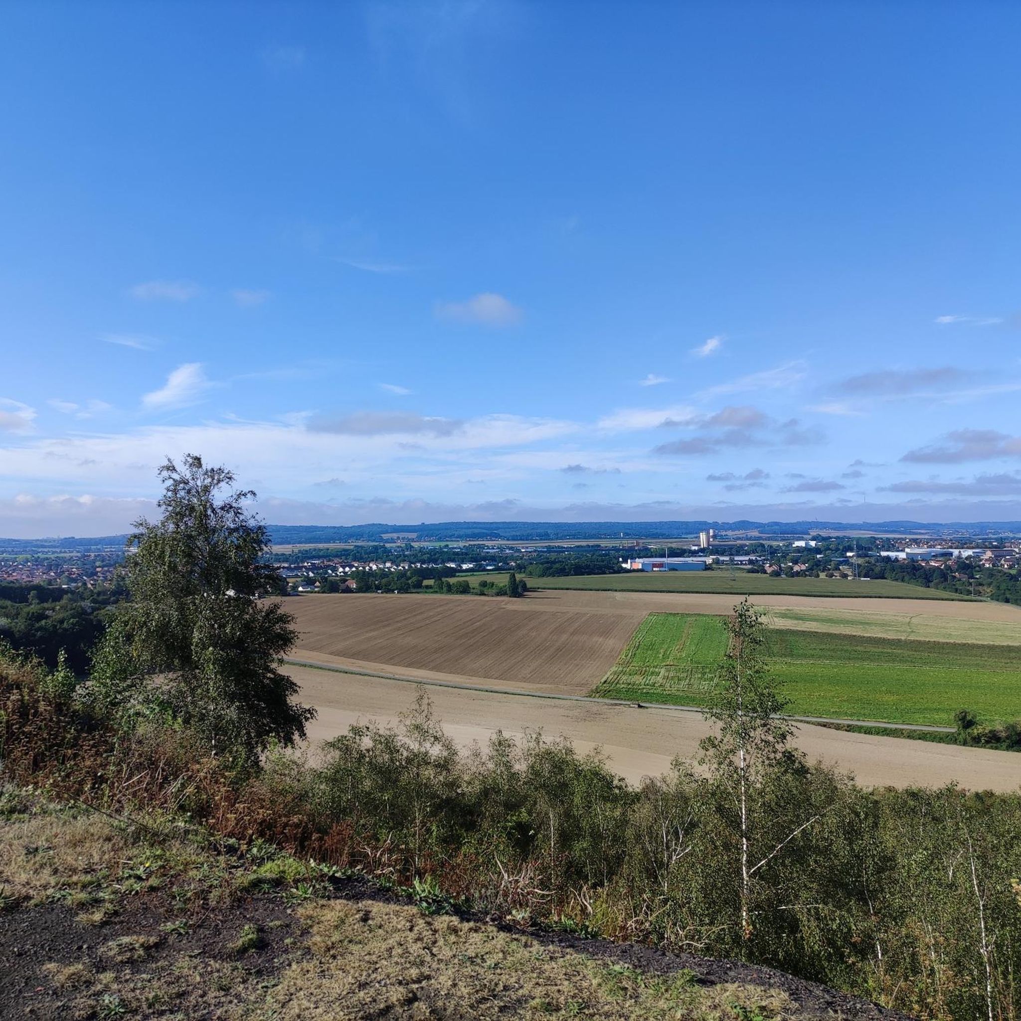
Very nice walk with a beautiful view at the finish
0
0


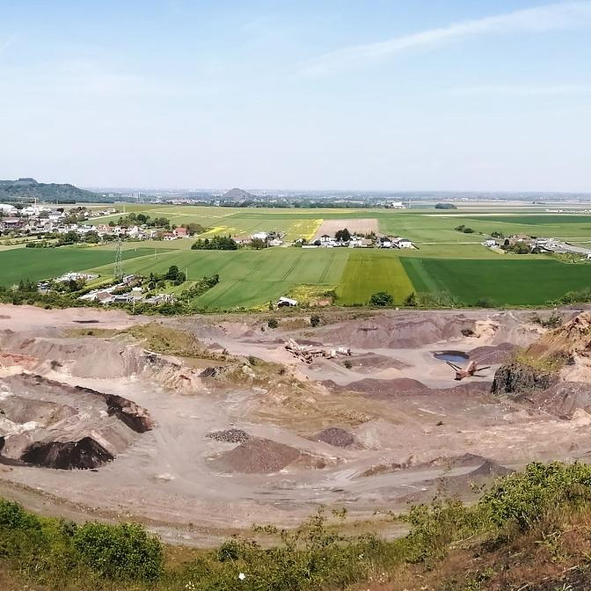
You absolutely have to see it. The climb is worth it ;-)
0
0
Frequently Asked Questions
How many road cycling routes are available around Sains-En-Gohelle?
There are nearly 560 road cycling routes around Sains-En-Gohelle documented on komoot. These routes cater to various skill levels, with over 150 easy routes, nearly 370 moderate routes, and 36 challenging options for experienced cyclists.
What kind of terrain can I expect on road cycling routes in Sains-En-Gohelle?
Road cycling in Sains-En-Gohelle offers a unique mix of reclaimed industrial landscapes and natural parkland. You'll encounter former mining slag heaps, known as "terrils," which provide challenging climbs and panoramic views. The region also features varied terrain within the Parc Naturel Régional Scarpe-Escaut, including river valleys, forests, and agricultural areas, ensuring diverse cycling experiences.
Are there any challenging climbs for road cyclists in the region?
Yes, the transformed "terrils" (slag heaps) from the former mining basin offer unique and challenging climbs. These artificial hills, particularly the "terrils jumeaux" of Loos-en-Gohelle, are among the highest in Europe and provide significant elevation gain. Routes like the Abbey of Mont Saint-Éloi – Ruins of Mont-Saint-Eloi Abbey loop feature over 870 meters of elevation gain, providing a good test for your climbing abilities.
What are some scenic viewpoints or natural features to look out for on road cycling routes?
The region offers several scenic viewpoints and natural features. The "terrils" provide 360-degree panoramic views of the surrounding landscape. Within the Parc Naturel Régional Scarpe-Escaut, you can enjoy picturesque views along the banks of the Scarpe and Escaut rivers, passing through forests and marshes. For a specific natural monument, consider visiting the Loos-en-Gohelle slag heap or the Spoil heaps 74 and 74a.
Are there any historical landmarks or attractions along the road cycling routes?
Yes, many routes pass by significant historical landmarks. For instance, the Abbey of Mont Saint-Éloi – Ruins of Mont-Saint-Eloi Abbey loop explores historical sites. You can also find attractions like the Canadian National Vimy Memorial, Notre-Dame-de-Lorette National Cemetery, and the ruined church of Ablain-Saint-Nazaire, which are often accessible from cycling paths.
What is the best time of year for road cycling in Sains-En-Gohelle?
The most pleasant conditions for road cycling in the Sains-En-Gohelle region, particularly within the Parc Naturel Régional Scarpe-Escaut, are typically found in spring and autumn. During these seasons, the weather is generally milder, and the natural landscapes are at their most vibrant.
Are there any circular road cycling routes available?
Yes, many road cycling routes in the region are designed as loops. Examples include the Fresnicourt coast – Côte de l'Antenne de Bouvigny loop, the Mount Kokereel – Mont Noir (West) loop, and The White Way – Vimy Ridge loop, all offering a return to your starting point.
What do other road cyclists say about the routes in Sains-En-Gohelle?
The road cycling routes around Sains-En-Gohelle are highly rated by the komoot community, with an average score of 4.2 stars from over 240 reviews. Cyclists often praise the varied terrain, from challenging climbs on the terrils to scenic rides through natural parks, and the well-developed cycling infrastructure.
Are there any dedicated cycling paths or greenways in the area?
Yes, Sains-En-Gohelle is integrated into a broader network of cycling paths. The Véloroute du Bassin Minier, for example, runs for approximately 15 kilometers from Liévin to Hénin-Beaumont, transforming former railway lines into green corridors largely reserved for pedestrians and cyclists. This route also connects to the EuroVelo 5.
Where can I find more information about cycling in the wider region?
For more details on cycling routes along the Escaut Valley, you can visit veloenfrance.fr. If you're interested in exploring the unique terrils by bike, pas-de-calais-tourisme.com offers additional insights.
Are there options for longer road cycling tours?
Absolutely. Many routes in the region are quite extensive. For example, the Fresnicourt coast – Côte de l'Antenne de Bouvigny loop covers over 100 kilometers, and the Côte de Hesdigneul – Petite Côte de Fiefs loop is nearly 94 kilometers, providing ample distance for longer rides.
What is the difficulty level of road cycling routes in Sains-En-Gohelle?
The routes around Sains-En-Gohelle offer a range of difficulties. You'll find over 150 easy routes, nearly 370 moderate routes, and 36 difficult routes. This variety ensures that both beginners and experienced road cyclists can find suitable challenges, from gentle rides through the countryside to more demanding climbs on the terrils.
Most popular routes around Sains-En-Gohelle
Most popular attractions around Sains-En-Gohelle

Get inspired with the komoot mobile app


Explore more
Browse the best Road cycling routes in other regions.
