The best road cycling routes around Chaussenac
4.2
(28)
919
riders
70
rides
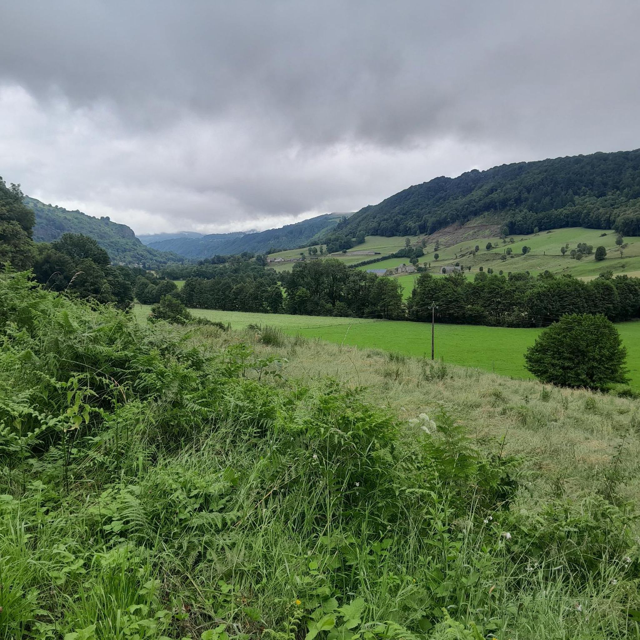
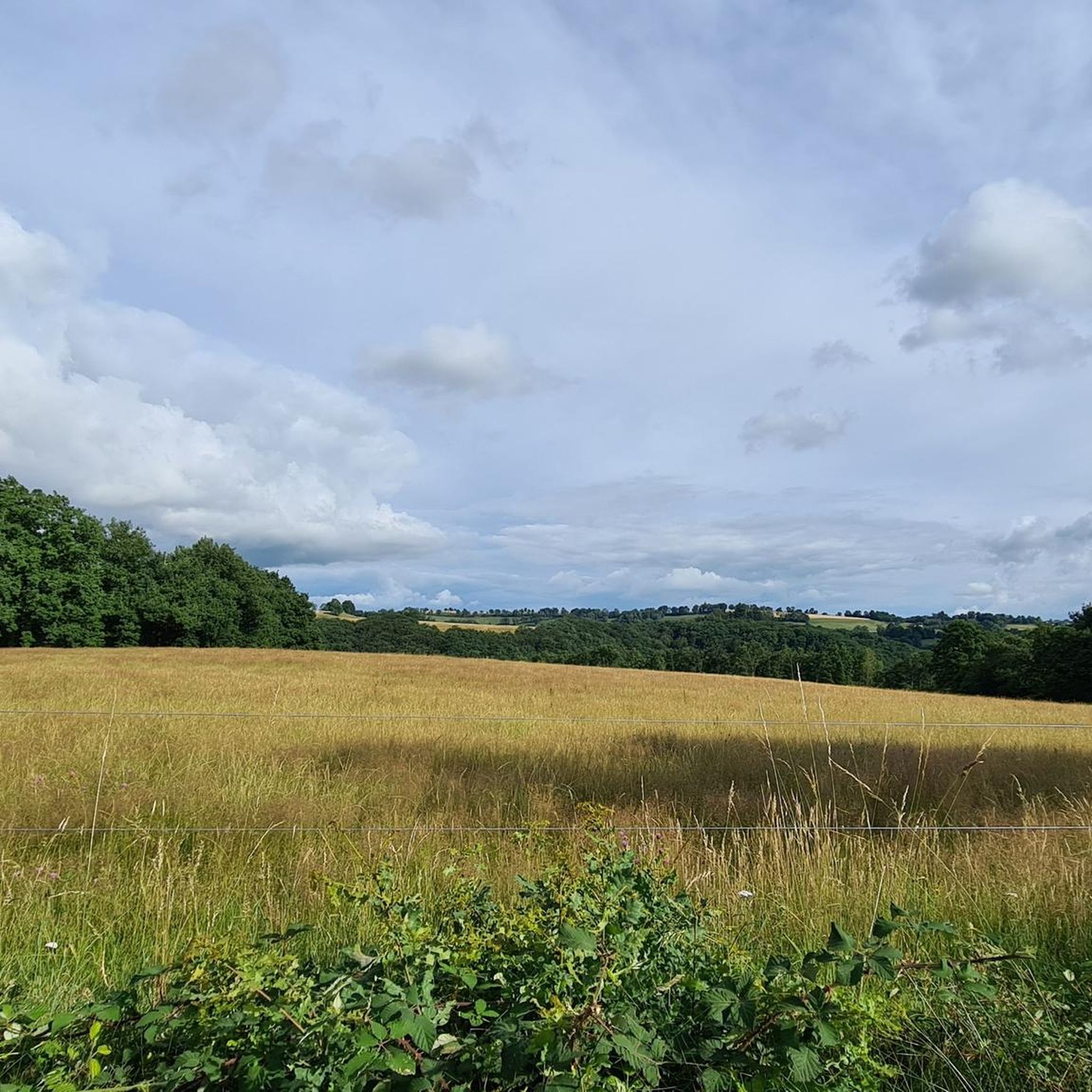
Road cycling routes around Chaussenac are characterized by hilly, undulating terrain, natural meadows, and forests, situated at an altitude of 700 meters. The region offers quiet, rural roads bordered by ancient stone walls and shaded by trees, providing a scenic environment for cycling. Views of the Cantal mountains serve as a dramatic backdrop to many routes. This area, part of the Cantal department, presents diverse possibilities for varied rides, from moderate climbs to more challenging ascents.
Best road cycling routes…
Last updated: July 27, 2026
5.0
(5)
225
riders
113km
05:56
2,070m
2,070m
Hard road ride. Very good fitness required. Mostly well-paved surfaces and easy to ride.
3.0
(1)
29
riders
67.7km
03:35
1,290m
1,290m
Hard road ride. Very good fitness required. Mostly well-paved surfaces and easy to ride.

Sign up for free
30
riders
58.8km
02:42
670m
670m
Moderate road ride. Good fitness required. Some segments of this route may be unpaved and difficult to ride.
26
riders
68.5km
03:22
1,030m
1,030m
Hard road ride. Very good fitness required. Mostly well-paved surfaces and easy to ride.
4.0
(1)
19
riders
52.4km
02:49
990m
990m
Hard road ride. Very good fitness required. Mostly well-paved surfaces and easy to ride.
Get access to more routes and recommendations from other explorers.
Sign up for free
Already have an account?
Our route recommendations are based on thousands of hikes, rides, and runs completed by other people on komoot.
Start today with a free account
Your next adventure awaits.
Login or Signup

Tips from the Community

Either stressful or relaxed from Puy Mary.
0
0
Great scenery, beautiful road, beautiful views. Perfect for a downhill ride.
0
0

Picturesque like Collonges la Rouge, Rocamadour or Locronan
0
0

Beautiful road and beautiful descent to reach the dam. Very steep and busy road to leave there
0
0


Quickly move through the landscape on the balcony.
1
0

It's steep but you absolutely have to do this pass because the landscape is magnificent.
1
0
Frequently Asked Questions
What kind of terrain can I expect when road cycling around Chaussenac?
The region around Chaussenac is characterized by a hilly and undulating terrain, offering a mix of natural meadows, woods, and forests. You'll find quiet, rural roads often bordered by ancient stone walls and shaded by ash, oak, and hawthorn trees, providing a scenic and immersive cycling experience. The routes are situated at an altitude of 700 meters, with views of the Cantal mountains serving as a dramatic backdrop.
How many road cycling routes are available in the Chaussenac area?
There are nearly 90 road cycling routes available around Chaussenac on komoot. These routes cater to various skill levels, with 5 easy, 43 moderate, and 39 difficult options, ensuring there's something for every cyclist.
Are there any challenging road cycling routes for experienced cyclists?
Yes, Chaussenac offers several challenging routes. For instance, the Pas de Peyrol Pass (1,589 m) – Ascent to Puy Mary loop from Mauriac is a difficult 103.1 km trail with a significant 1940 meters of elevation gain. Another demanding option is the Neronne Pass – Route du Puy Mary loop from Mauriac, covering 68.2 km with over 1000 meters of ascent.
What are some scenic or historical landmarks I can see while cycling?
Beyond the natural beauty, Chaussenac boasts historical and cultural attractions. You can discover a dozen wayside crosses dating from the 13th to the 19th centuries along the roads. Notable nearby highlights include The black rock viaduct and the Salins Waterfall. The medieval town of Salers, listed as a 'most beautiful village in France,' is also within cycling distance, offering a picturesque destination.
Are there any moderate road cycling routes suitable for intermediate riders?
Absolutely. A popular moderate route is the Salers loop from Mauriac, a 58.8 km trail that leads through picturesque countryside towards the medieval town of Salers. This route features a manageable 667 meters of elevation gain, making it a great option for intermediate cyclists.
What do other road cyclists enjoy most about cycling in Chaussenac?
The area is highly rated by the komoot community, with an average score of 4.1 stars from over 17 reviews. Cyclists often praise the quiet, rural roads, the diverse and picturesque landscapes, and the dramatic views of the Cantal mountains that serve as a backdrop to many routes. Over 700 road cyclists have used komoot to explore Chaussenac's varied terrain.
Are there any road cycling routes that pass by castles or historical sites?
Yes, you can explore routes that offer glimpses of historical architecture. The La Borie Castle – Chanterelle Castle loop from Mauriac is a difficult 67.8 km path winding through rural landscapes with views of historic castles, providing a blend of cycling challenge and cultural interest.
What is the best time of year for road cycling in Chaussenac?
While specific weather data isn't provided, the region's description of natural meadows, woods, and forests suggests that spring, summer, and early autumn would offer the most pleasant conditions for road cycling. These seasons typically provide milder temperatures and vibrant scenery, ideal for enjoying the undulating terrain and mountain views.
Are there any circular road cycling routes around Chaussenac?
Many of the routes in the area are designed as loops, allowing you to start and end in the same location. Examples include the challenging Pas de Peyrol Pass (1,589 m) – Ascent to Puy Mary loop from Mauriac and the moderate Salers loop from Mauriac, both offering circular journeys through the picturesque landscape.
What kind of natural features can I expect to see on the routes?
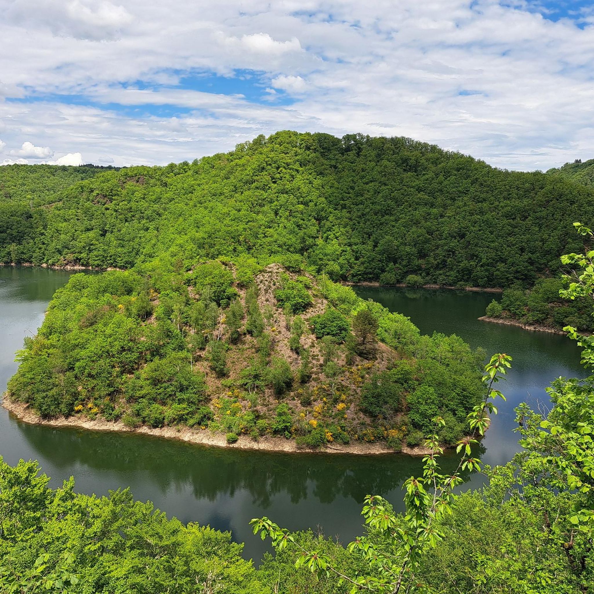
The natural features are a highlight of cycling in Chaussenac. You'll encounter verdant surroundings with a charming blend of forests, valleys, and mid-mountain pastures. The region is known for its pure and unspoiled quality, characteristic of the Auvergne, with its volcanic and mountainous massifs. Keep an eye out for the 'magical' site of the Algère stream clearing at the Ostenac mill.
Are there any routes that explore the gorges or river areas?
Yes, for those interested in river landscapes, the The Barrage de l'Aigle – Dordogne Gorges loop from Mauriac offers a challenging 52.4 km ride with nearly 1000 meters of elevation gain, taking you through the scenic Dordogne Gorges and past the Barrage de l'Aigle.
What amenities are available in Chaussenac village for cyclists?
Chaussenac is a village steeped in history, and while specific cyclist amenities like dedicated bike shops aren't detailed, the presence of well-preserved heritage and nearby towns like Pleaux (8 km away) and Salers (18-20 km away) suggests that basic services, including potentially cafes or small shops, would be available in the vicinity. For more detailed information on the village itself, you might find resources on the local tourism website: salers-tourisme.fr.
Most popular attractions around Chaussenac

Get inspired with the komoot mobile app


Explore more
Browse the best Road cycling routes in other regions.
