The best road cycling routes around Groises
4.0
(3)
137
riders
61
rides
Road cycling routes around Groises traverse farming country and gentle rolling hills in the Cher department of France. The terrain features rural roads and routes along the banks of the river Chantraine. Elevations in the area range from 167 to 208 meters, providing varied gradients for cyclists. This landscape offers a tranquil setting for road cycling amidst the French countryside.
Best road cycling routes around Groises
- The most popular road cycling route is Pont de Pouilly-sur-Loire – Pouilly Fume Tower…
Last updated: October 7, 2026
29
riders
119km
05:21
1,090m
1,090m
Hard road ride. Very good fitness required. Mostly well-paved surfaces and easy to ride.
9
riders
9.91km
00:25
70m
70m
Easy road ride. Great for any fitness level. Mostly well-paved surfaces and easy to ride.

9
riders
5.98km
00:15
40m
40m
Easy road ride. Great for any fitness level. Mostly well-paved surfaces and easy to ride.
3
riders
Moderate road ride. Good fitness required. Mostly well-paved surfaces and easy to ride.
3
riders
50.2km
02:27
630m
630m
Moderate road ride. Good fitness required. Some segments of this route may be unpaved and difficult to ride.
Get access to more routes and recommendations from other explorers.
Already have an account?
Our route recommendations are based on thousands of hikes, rides, and runs completed by other people on komoot.
Start today with a free account
Your next adventure awaits.
Tips from the Community


Rivers and canals crisscross the country, the latter in particular being a crucial part of the transport infrastructure in earlier times. Later, first rail, and later again trucks, took over the task of transporting goods. In the competition between different modes of transport, they were faster and cheaper than barges – and thus more efficient. When building the artificial waterways, however, it had to be taken into account that differences in elevation always had to be overcome, and so locks are often lined up along the canals – at varying intervals, depending on the local situation. Only with their help was shipping possible.
0
0
It is presumably a former "chemin de halage" (in German "treidelpfad" or "leinpfad"), which runs alongside the canal's bed. In earlier times, such a path was an essential part of the transport infrastructure. Before ships could be powered by motors, horses walked along the bank, pulling the boat against the current. This was called "treideln" (pulling), and this is how the towpaths got their name, which has been passed down to this day. Where these paths, which run close to the bank, have been preserved, they are popular with hikers, walkers, joggers, and cyclists.
1
0

The trip along the canal is a meditation - at least as relaxing as one.
1
0


Romanesque church from the 12th century, remodeled in the 19th century. Of the old building, only the choir remains.
0
0
Frequently Asked Questions
What kind of terrain can I expect on road cycling routes around Groises?
Road cycling routes around Groises primarily traverse farming country and gentle rolling hills. You'll find rural roads and picturesque paths along the banks of the river Chantraine. The elevation in the area ranges from 167 to 208 meters, offering varied gradients suitable for different cycling preferences.
How many road cycling routes are available in the Groises area?
There are over 50 road cycling routes available around Groises, catering to various skill levels. This includes 7 easy routes, 48 moderate routes, and 2 more challenging options.
Are there any easy road cycling routes suitable for beginners in Groises?
Yes, Groises offers several easy road cycling routes perfect for beginners or those seeking a relaxed ride. An example is the Roadbike loop from Charentonnay, which is an accessible 9.9 km path through the local countryside.
What are some longer road cycling routes near Groises?
For longer rides, you can explore routes like the Menetou-Couture Castle – Lock n°25 loop from Feux, which covers over 76 km. Another option is the Morogues church – La Borne, potters' village loop from Veaugues, spanning approximately 50 km.
What landmarks or points of interest can I see while cycling around Groises?
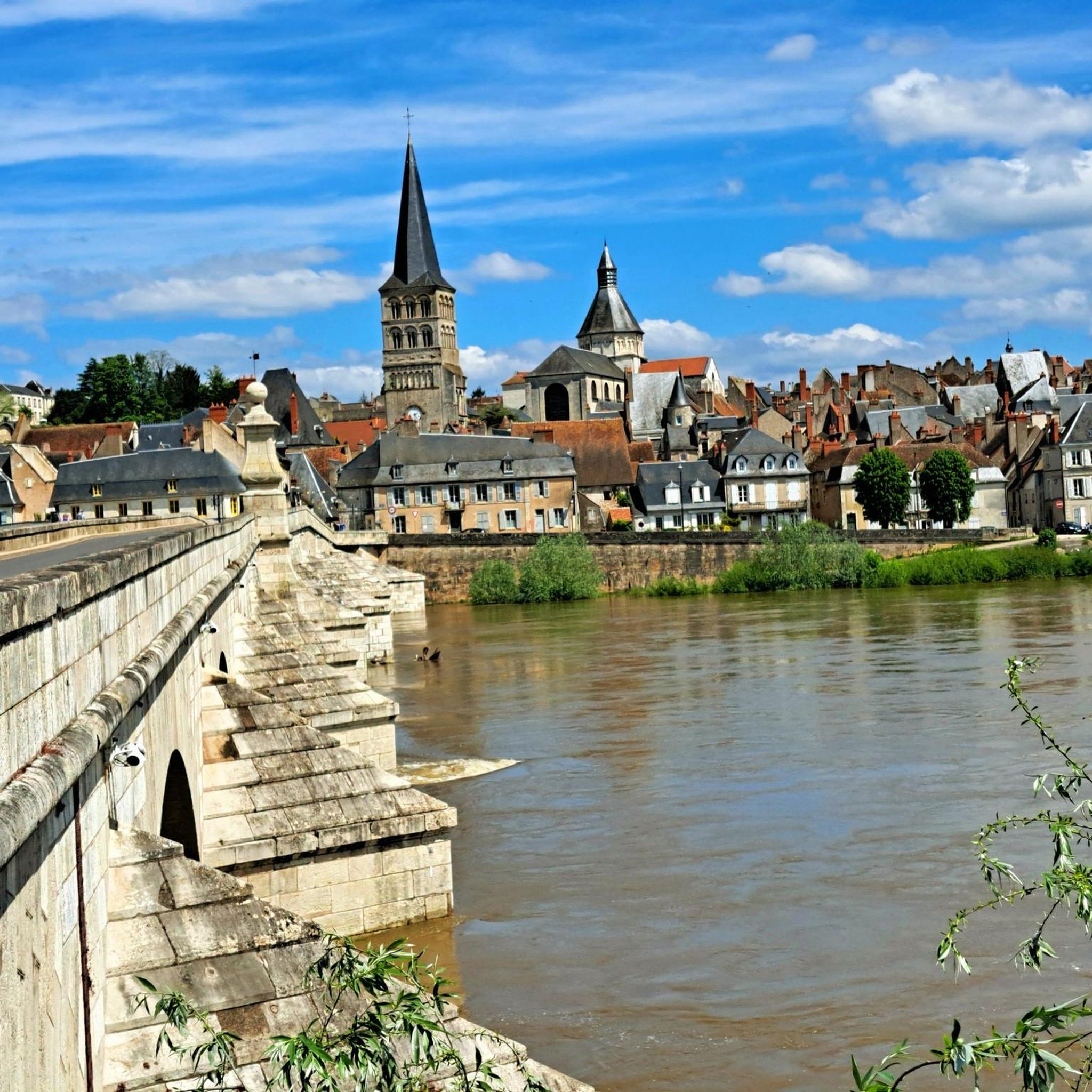
While cycling, you can encounter various points of interest. The 12th-century church of St. Martin in Groises is a notable historical site. Routes may also pass by the Pesselières Castle or offer views of the Wild Loire banks. The broader region also features vineyards and the Natural Reserve of the Loire Valley.
Are there any circular road cycling routes in Groises?
Yes, many routes around Groises are designed as loops. For instance, the Pont de Pouilly-sur-Loire – Pouilly Fume Tower loop from Le Grand Champ is a popular circular route offering varied terrain and views of the Loire. Another is the Saint-Satur Viaduct – Pont de Pouilly-sur-Loire loop from Veaugues.
What do other cyclists say about road cycling in Groises?
The road cycling routes in Groises are highly rated by the komoot community, with an average score of 4.7 stars from 3 reviews. Cyclists often appreciate the tranquil setting, the rural roads, and the varied gradients that make for an engaging ride through the French countryside.
Can I find places to eat or drink along the road cycling routes?
While Groises is a small village, the surrounding area offers some options. You might find local establishments in nearby villages. For example, the Barreaux Farm Restaurant is a highlight in the vicinity that cyclists might pass.
What is the best time of year for road biking in Groises?
The region's agricultural landscape and gentle climate make spring and autumn particularly pleasant for road cycling, with milder temperatures and beautiful scenery. Summer can also be enjoyable, especially in the mornings or late afternoons, to avoid the warmest parts of the day.
Are there any wine-related attractions accessible by bike near Groises?
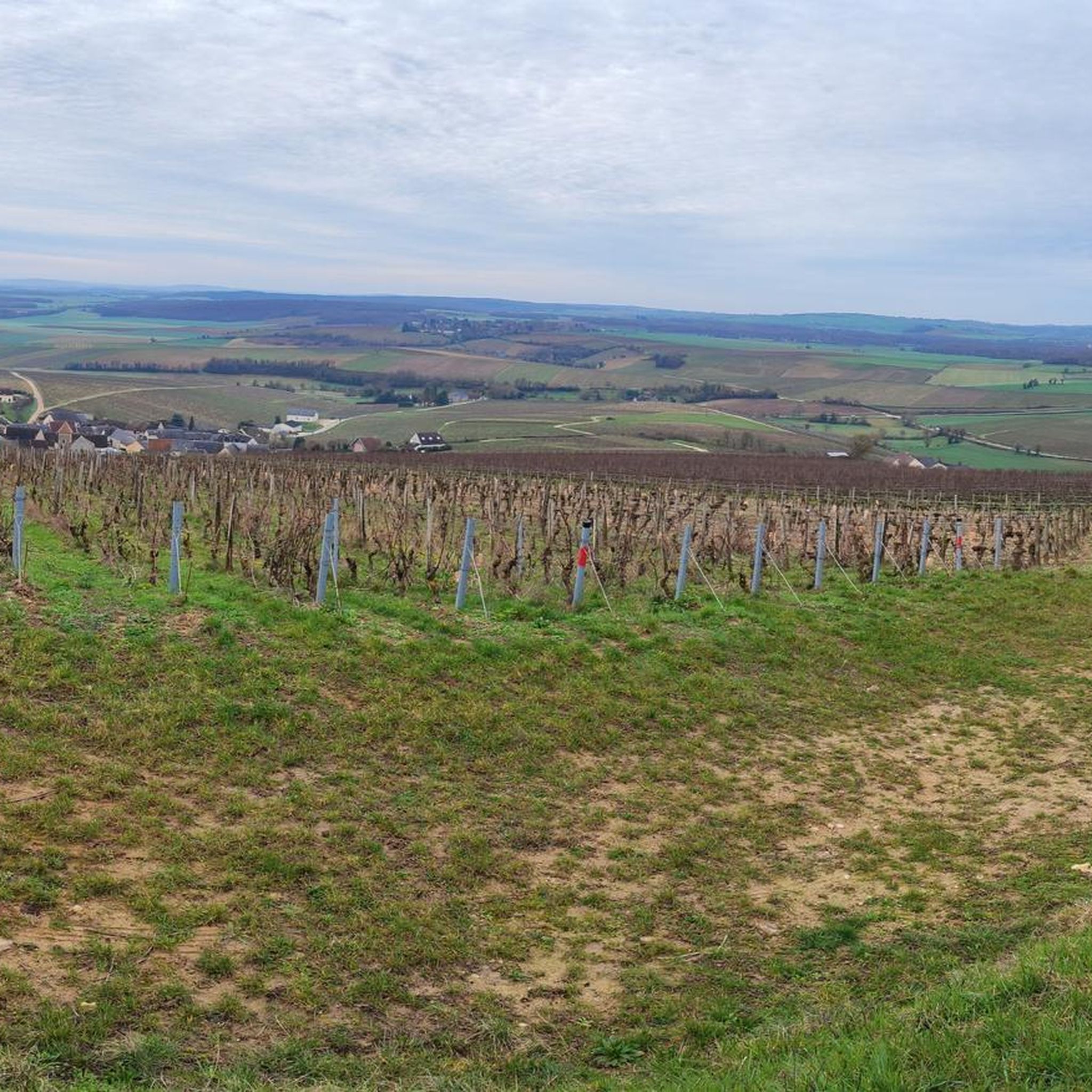
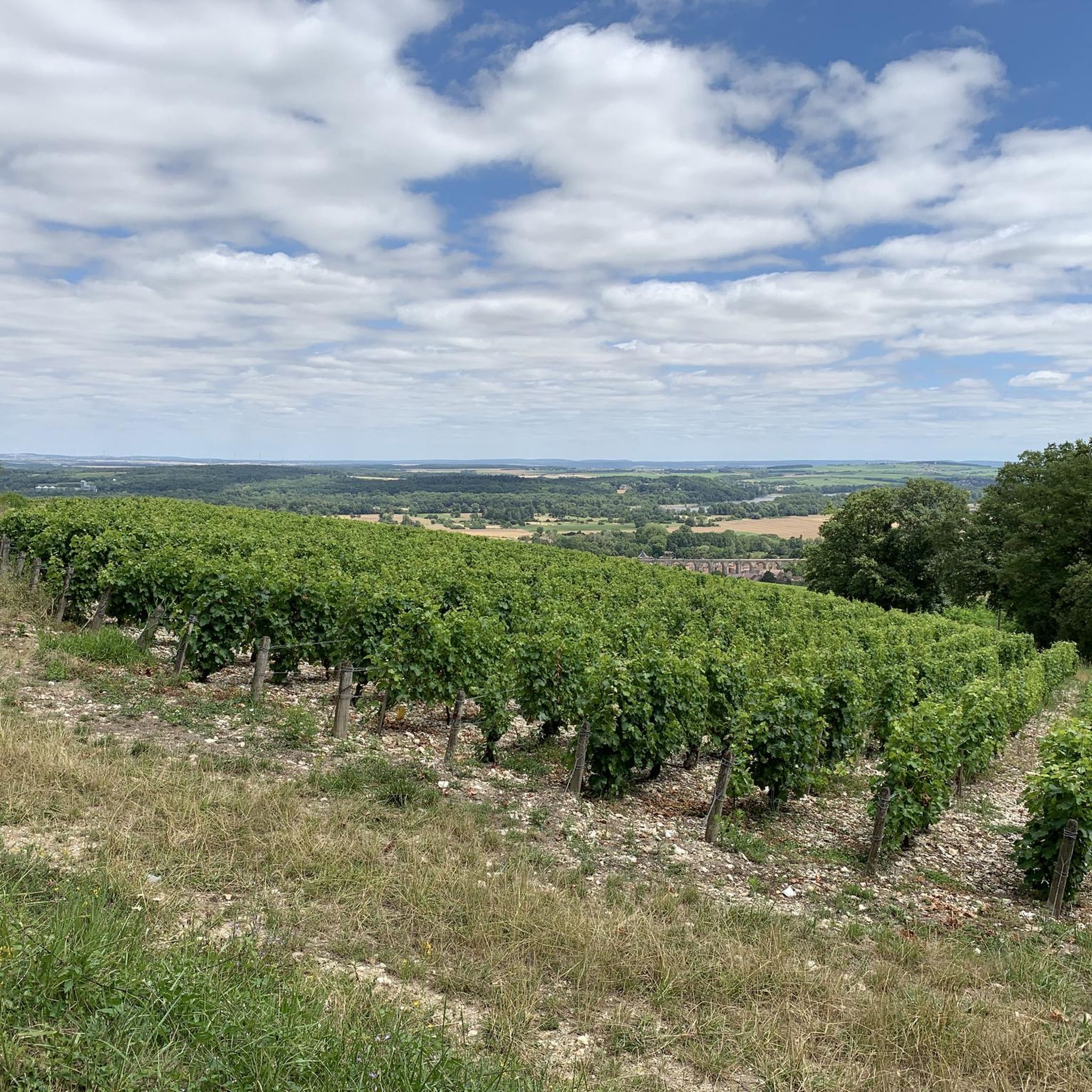
Yes, the region is known for its vineyards. The House of Sancerre and Domaine Bernard Fleuriet et fils, a winery, are both within a reasonable cycling distance (around 13-14 km) from Groises, offering opportunities to integrate vineyard visits into your cycling tours.
What are the general characteristics of the road cycling routes in Groises?
The road cycling routes in Groises are characterized by their passage through farming country and gentle rolling hills. They primarily use rural roads and often follow the banks of the river Chantraine, providing a tranquil and scenic experience. The routes offer a mix of easy, moderate, and difficult sections.
Most popular attractions around Groises

Get inspired with the komoot mobile app


Explore more
Browse the best Road cycling routes in other regions.
