The best running trails around Bruis
4.0
(1)
179
runners
36
runs
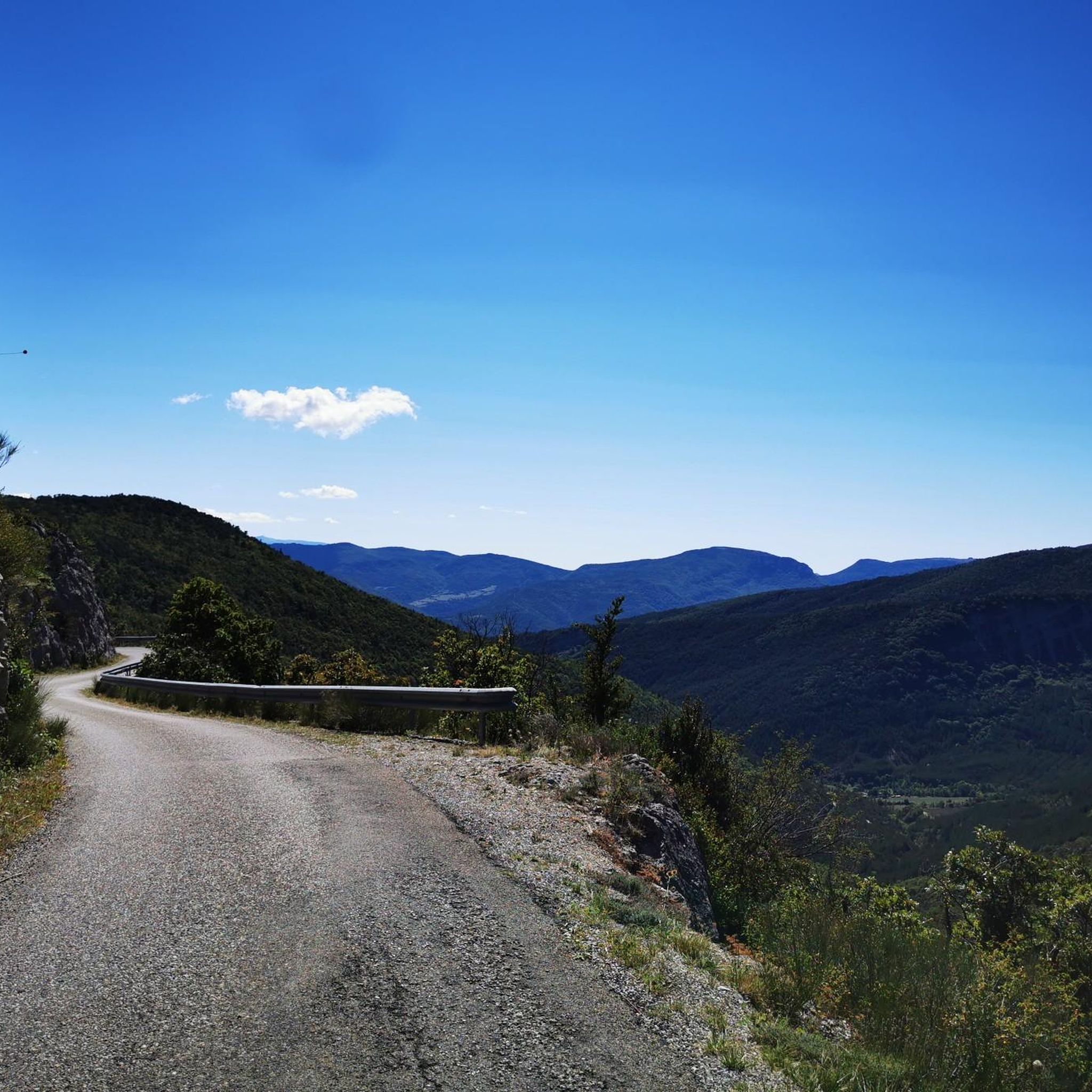
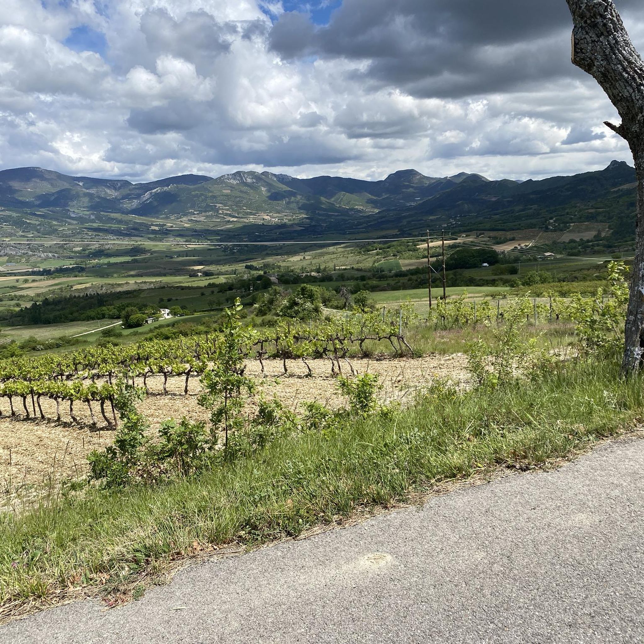
Jogging around Bruis offers a variety of routes through diverse landscapes. The region is characterized by its hilly terrain, featuring mountain passes and water bodies, providing varied elevation for runners. These running routes in Bruis traverse rural areas, offering a mix of natural and historical scenery.
Best jogging routes around Bruis
- The most popular jogging route is Plan d'eau du Pas des Ondes loop from La Motte-Chalancon, a 5.6 miles (9.0 km) trail that takes 1 hour to complete.…
Last updated: October 25, 2026
22
runners
11.8km
01:34
460m
460m
Hard run. Very good fitness required. Mostly paved surfaces.
16
runners
9.92km
01:38
620m
620m
Hard run. Very good fitness required. Mostly paved surfaces.

17
runners
20.3km
03:24
1,280m
1,270m
Hard run. Very good fitness required. Mostly paved surfaces.
7
runners
10.4km
01:24
410m
410m
Hard run. Very good fitness required. Mostly paved surfaces.
3
runners
7.60km
00:50
130m
130m
Moderate run. Good fitness required. Mostly paved surfaces.
Get access to more routes and recommendations from other explorers.
Already have an account?
Our route recommendations are based on thousands of hikes, rides, and runs completed by other people on komoot.
Start today with a free account
Your next adventure awaits.
Tips from the Community

Building maintained in excellent condition.
10
0
The ascent to Col de la Fromagère / Col de Pommerol from Rosans is located in the Hautes-Alpes region. This ascent is 6.6 km long, with a total elevation gain of 371 m. The average gradient of the ascent to Col de la Fromagère / Col de Pommerol from Rosans is 5.6%.
7
0

bring good shoes and a windbreaker at the top
0
0

Magnificent panorama. Once at the top, it's not very difficult and very pleasant.
0
0
Magnificent region. I recommend the guest rooms at the Château de Rosans.
0
0

The Col de la Fromagère turns into the Col de Pommerol when you reach the summit. The climb is nevertheless magnificent on a small mountain road, with good percentages sometimes approaching 12%
1
0

The medieval village of Rosans reveals beautiful ocher-colored stones and old Roman tile roofs. Entrance into the village is under an arched door. You discover its impressive square tower. Built in the 13th century in stones cut into diamond points, it is still in perfect state of conservation.
4
0
Frequently Asked Questions
How many running routes are available around Bruis?
There are over 30 dedicated running routes around Bruis, offering a variety of experiences for different skill levels. The region's hilly terrain provides diverse options for your runs.
Are there any easy or beginner-friendly jogging routes in Bruis?
The running routes in Bruis are generally categorized as moderate to difficult due to the region's hilly terrain and mountain passes. There are currently no routes specifically classified as easy, so beginners should be prepared for some elevation gain.
What is the typical duration for jogging trails in Bruis?
The duration of jogging trails in Bruis varies significantly. For example, the Plan d'eau du Pas des Ondes loop from La Motte-Chalancon takes about 1 hour, while longer and more challenging routes like the Rosans – Montagne de Raton loop from Rosans can take over 3 hours.
What kind of scenery can I expect on the running routes in Bruis?
Bruis offers a mix of natural and historical scenery. You'll find routes traversing rural landscapes, featuring water bodies like the Plan d'eau du Pas des Ondes, and historical sites such as those around La Charce Castle. Many routes also offer views of the surrounding mountains and passes.
Are there any circular jogging routes in the Bruis area?
Yes, many of the running routes around Bruis are circular, allowing you to start and finish at the same point. Examples include the Plan d'eau du Pas des Ondes loop from La Motte-Chalancon and the Château de La Charce – La Charce Castle loop from La Charce.
What do other runners enjoy most about jogging in Bruis?
Runners frequently praise the diverse landscapes and the challenge offered by the hilly terrain. The region's rural character and scenic views, particularly around water features and historical sites, are often highlighted as enjoyable aspects of the running experience.
Are there any specific landmarks or points of interest along the running trails?
Yes, several routes pass by notable landmarks. For instance, the Château de La Charce – La Charce Castle loop from La Charce explores the area around La Charce Castle. Other routes might offer views of mountain passes like Col de Carabès or the Montagne de Raton.
What is the best time of year to go running in Bruis?
Given the hilly terrain and mountain passes, late spring, summer, and early autumn generally offer the most favorable conditions for running in Bruis, with pleasant temperatures and less chance of snow or ice at higher elevations. Always check local weather forecasts before heading out.
Are the running routes in Bruis suitable for families?
While there are no 'easy' routes, some moderate trails might be suitable for active families with older children who are accustomed to running or hiking with elevation changes. Always check the distance and elevation profile of a specific route, such as the Plan d'eau du Pas des Ondes loop, to determine its suitability for your family.
Can I bring my dog on the jogging trails in Bruis?
Many rural trails in Bruis are generally dog-friendly, but it's always best to keep your dog on a leash, especially in areas with livestock or wildlife. Ensure your dog is fit enough for the moderate to difficult terrain and carry enough water for both of you.
Are there any less crowded running routes in Bruis?
While specific crowd levels can vary, routes that are further from main towns or have higher difficulty ratings, such as the Montagne de Raton loop from Col de la Fromagère, might offer a more secluded running experience. Early mornings or weekdays are also good times to avoid busier periods.
What are the typical elevation changes on running routes in Bruis?
Bruis is characterized by its hilly terrain, so expect significant elevation changes. Routes can range from around 100 meters of ascent, like the Plan d'eau du Pas des Ondes loop, to over 1200 meters of ascent on more challenging trails such as the Rosans – Montagne de Raton loop.
Most popular attractions around Bruis

Get inspired with the komoot mobile app


Explore more
Browse the best Running Trails & Routes in other regions.
